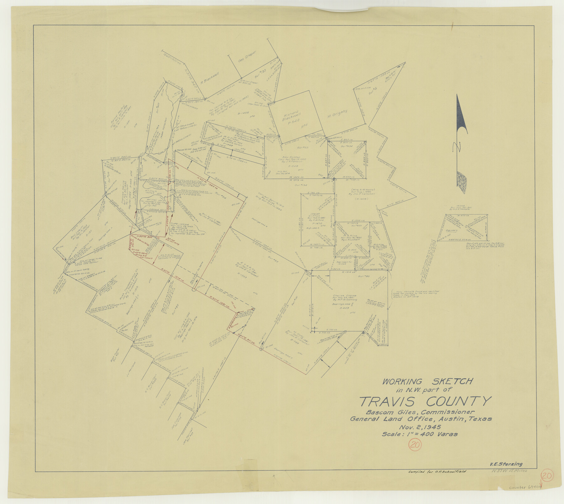
Travis County Working Sketch 20
-
Map/Doc
69404
-
Collection
General Map Collection
-
Object Dates
11/2/1945 (Creation Date)
-
People and Organizations
Victor E. Sterzing (Draftsman)
-
Counties
Travis
-
Subjects
Surveying Working Sketch
-
Height x Width
28.5 x 31.9 inches
72.4 x 81.0 cm
-
Scale
1" = 400 varas
Part of: General Map Collection
Anderson County Boundary File 6

Print $9.00
- Digital $50.00
Anderson County Boundary File 6
Size 14.3 x 8.7 inches
Map/Doc 49747
Crockett County Working Sketch 31

Print $20.00
- Digital $50.00
Crockett County Working Sketch 31
1924
Size 37.2 x 33.5 inches
Map/Doc 68364
Roberts County Working Sketch 3

Print $20.00
- Digital $50.00
Roberts County Working Sketch 3
1949
Size 18.0 x 14.3 inches
Map/Doc 63529
Brewster County Working Sketch 42

Print $20.00
- Digital $50.00
Brewster County Working Sketch 42
1947
Size 39.9 x 31.0 inches
Map/Doc 67576
Travis County Rolled Sketch 43

Print $20.00
- Digital $50.00
Travis County Rolled Sketch 43
1962
Size 27.3 x 22.7 inches
Map/Doc 8041
Hardin County Sketch File 46

Print $8.00
- Digital $50.00
Hardin County Sketch File 46
1875
Size 12.8 x 8.4 inches
Map/Doc 25196
Cass County Working Sketch 47b

Print $20.00
- Digital $50.00
Cass County Working Sketch 47b
1992
Size 32.3 x 36.4 inches
Map/Doc 76063
Brewster County Working Sketch 81

Print $20.00
- Digital $50.00
Brewster County Working Sketch 81
1972
Size 45.9 x 26.7 inches
Map/Doc 67681
Hardeman County Aerial Photograph Index Sheet 3

Print $20.00
- Digital $50.00
Hardeman County Aerial Photograph Index Sheet 3
1950
Size 20.3 x 17.0 inches
Map/Doc 83699
Live Oak County Rolled Sketch 4

Print $20.00
- Digital $50.00
Live Oak County Rolled Sketch 4
1946
Size 27.7 x 32.1 inches
Map/Doc 6633
Limestone County Sketch File 22

Print $4.00
- Digital $50.00
Limestone County Sketch File 22
Size 11.4 x 7.3 inches
Map/Doc 30201
Hale County Rolled Sketch 8

Print $20.00
- Digital $50.00
Hale County Rolled Sketch 8
1910
Size 38.0 x 25.9 inches
Map/Doc 6046
You may also like
Flight Mission No. DAG-23K, Frame 179, Matagorda County

Print $20.00
- Digital $50.00
Flight Mission No. DAG-23K, Frame 179, Matagorda County
1953
Size 18.5 x 22.4 inches
Map/Doc 86514
Upton County Rolled Sketch 29

Print $20.00
- Digital $50.00
Upton County Rolled Sketch 29
1947
Size 32.0 x 45.3 inches
Map/Doc 10736
Nueces County Rolled Sketch 26

Print $40.00
- Digital $50.00
Nueces County Rolled Sketch 26
1945
Size 24.3 x 122.6 inches
Map/Doc 9595
Culberson County Working Sketch 62

Print $20.00
- Digital $50.00
Culberson County Working Sketch 62
1975
Size 32.2 x 24.6 inches
Map/Doc 68516
Bee County Sketch File 20

Print $8.00
- Digital $50.00
Bee County Sketch File 20
1861
Size 14.3 x 8.8 inches
Map/Doc 14308
Throckmorton County Working Sketch 4

Print $20.00
- Digital $50.00
Throckmorton County Working Sketch 4
1949
Size 25.0 x 24.9 inches
Map/Doc 62113
Garza County Rolled Sketch R1

Print $40.00
- Digital $50.00
Garza County Rolled Sketch R1
Size 32.1 x 49.3 inches
Map/Doc 9045
Jim Hogg County Rolled Sketch 4

Print $20.00
- Digital $50.00
Jim Hogg County Rolled Sketch 4
Size 17.0 x 30.5 inches
Map/Doc 6440
Lavaca County Rolled Sketch 6

Print $20.00
- Digital $50.00
Lavaca County Rolled Sketch 6
1986
Size 44.8 x 33.9 inches
Map/Doc 10290
Flight Mission No. DAG-23K, Frame 173, Matagorda County

Print $20.00
- Digital $50.00
Flight Mission No. DAG-23K, Frame 173, Matagorda County
1953
Size 18.5 x 22.3 inches
Map/Doc 86511
Gillespie County Working Sketch 13

Print $20.00
- Digital $50.00
Gillespie County Working Sketch 13
2008
Size 22.8 x 31.8 inches
Map/Doc 88831
Montgomery County Sketch File 17

Print $42.00
- Digital $50.00
Montgomery County Sketch File 17
1912
Size 8.6 x 7.8 inches
Map/Doc 31832