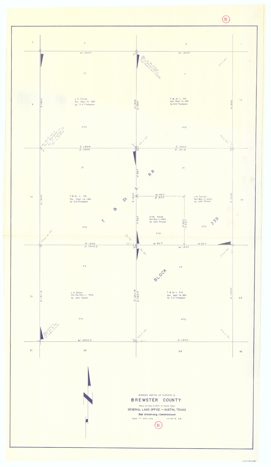
Brewster County Working Sketch 81
-
Map/Doc
67681
-
Collection
General Map Collection
-
Object Dates
10/26/1972 (Creation Date)
-
Counties
Brewster
-
Subjects
Surveying Working Sketch
-
Height x Width
45.9 x 26.7 inches
116.6 x 67.8 cm
-
Scale
1" = 200 varas
Part of: General Map Collection
Flight Mission No. DCL-7C, Frame 18, Kenedy County

Print $20.00
- Digital $50.00
Flight Mission No. DCL-7C, Frame 18, Kenedy County
1943
Size 15.4 x 15.2 inches
Map/Doc 86010
Traveller's Map of the State of Texas

Print $20.00
- Digital $50.00
Traveller's Map of the State of Texas
1867
Size 41.8 x 38.9 inches
Map/Doc 4328
Nueces County Aerial Photograph Index Sheet 1

Print $20.00
- Digital $50.00
Nueces County Aerial Photograph Index Sheet 1
1956
Size 23.4 x 19.6 inches
Map/Doc 83736
Randall County Boundary File 2

Print $14.00
- Digital $50.00
Randall County Boundary File 2
Size 8.9 x 7.9 inches
Map/Doc 58111
Maps of Gulf Intracoastal Waterway, Texas - Sabine River to the Rio Grande and connecting waterways including ship channels

Print $20.00
- Digital $50.00
Maps of Gulf Intracoastal Waterway, Texas - Sabine River to the Rio Grande and connecting waterways including ship channels
1966
Size 14.5 x 22.2 inches
Map/Doc 61932
La Salle County Rolled Sketch 23A

Print $225.00
- Digital $50.00
La Salle County Rolled Sketch 23A
1956
Size 10.0 x 15.6 inches
Map/Doc 46481
Burnet County Rolled Sketch 4

Print $20.00
- Digital $50.00
Burnet County Rolled Sketch 4
1949
Size 31.9 x 17.5 inches
Map/Doc 5356
Comanche County Rolled Sketch 3

Print $20.00
- Digital $50.00
Comanche County Rolled Sketch 3
2017
Size 35.1 x 44.9 inches
Map/Doc 95384

Brewster County Rolled Sketch 124

Print $20.00
- Digital $50.00
Brewster County Rolled Sketch 124
1975
Size 15.8 x 13.2 inches
Map/Doc 5299

Terrell County Working Sketch 45

Print $20.00
- Digital $50.00
Terrell County Working Sketch 45
1957
Size 21.5 x 37.2 inches
Map/Doc 62138
You may also like
Stonewall County Rolled Sketch 28

Print $20.00
- Digital $50.00
Stonewall County Rolled Sketch 28
Size 42.8 x 46.5 inches
Map/Doc 9967
Swisher County

Print $20.00
- Digital $50.00
Swisher County
1941
Size 44.7 x 38.5 inches
Map/Doc 95648
Flight Mission No. BRA-16M, Frame 130, Jefferson County

Print $20.00
- Digital $50.00
Flight Mission No. BRA-16M, Frame 130, Jefferson County
1953
Size 18.5 x 22.5 inches
Map/Doc 85740
[Movements & Objectives of the 143rd & 144th Infantry on October 13, 1918, Appendix L]
![94124, [Movements & Objectives of the 143rd & 144th Infantry on October 13, 1918, Appendix L], Non-GLO Digital Images](https://historictexasmaps.com/wmedia_w700/maps/94124-1.tif.jpg)
Print $20.00
[Movements & Objectives of the 143rd & 144th Infantry on October 13, 1918, Appendix L]
1918
Size 16.1 x 16.8 inches
Map/Doc 94124
Rains County Working Sketch 6

Print $20.00
- Digital $50.00
Rains County Working Sketch 6
1958
Size 26.4 x 42.3 inches
Map/Doc 71832

Ochiltree County Sketch File 3

Print $40.00
- Digital $50.00
Ochiltree County Sketch File 3
1908
Size 15.4 x 12.9 inches
Map/Doc 33177
The Republic County of Bexar. December 31, 1838

Print $20.00
The Republic County of Bexar. December 31, 1838
2020
Size 24.6 x 21.6 inches
Map/Doc 96096
Val Verde County Rolled Sketch 70

Print $20.00
- Digital $50.00
Val Verde County Rolled Sketch 70
1958
Size 23.2 x 18.8 inches
Map/Doc 8132
Flight Mission No. CLL-3N, Frame 17, Willacy County

Print $20.00
- Digital $50.00
Flight Mission No. CLL-3N, Frame 17, Willacy County
1954
Size 18.5 x 22.2 inches
Map/Doc 87083
Van Zandt County Sketch File 3

Print $8.00
- Digital $50.00
Van Zandt County Sketch File 3
1858
Size 8.3 x 8.0 inches
Map/Doc 39366
