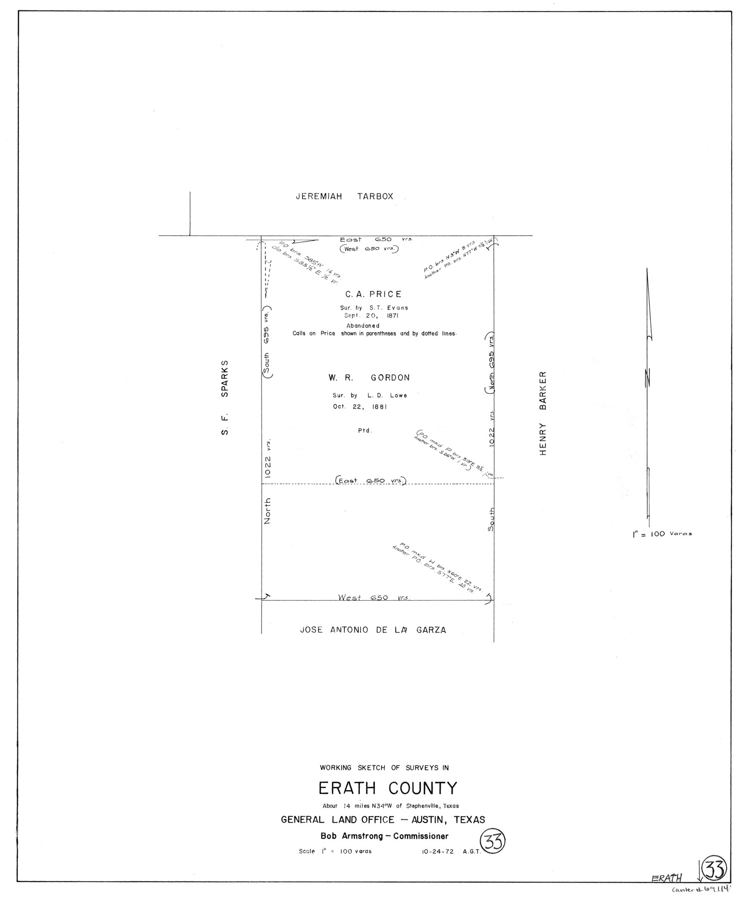
Erath County Working Sketch 33
-
Map/Doc
69114
-
Collection
General Map Collection
-
Object Dates
10/24/1972 (Creation Date)
-
People and Organizations
Abner G. Trigg (Draftsman)
-
Counties
Erath
-
Subjects
Surveying Working Sketch
-
Height x Width
25.1 x 21.0 inches
63.8 x 53.3 cm
-
Scale
1" = 100 varas
Part of: General Map Collection
Wilbarger Co.

Print $40.00
- Digital $50.00
Wilbarger Co.
1907
Size 49.1 x 40.3 inches
Map/Doc 63126
Anderson County Working Sketch 42

Print $40.00
- Digital $50.00
Anderson County Working Sketch 42
1987
Size 34.4 x 51.1 inches
Map/Doc 67042
[Galveston, Harrisburg & San Antonio Railroad from Cuero to Stockdale]
![64193, [Galveston, Harrisburg & San Antonio Railroad from Cuero to Stockdale], General Map Collection](https://historictexasmaps.com/wmedia_w700/maps/64193.tif.jpg)
Print $20.00
- Digital $50.00
[Galveston, Harrisburg & San Antonio Railroad from Cuero to Stockdale]
1907
Size 13.7 x 34.0 inches
Map/Doc 64193
Swisher County

Print $20.00
- Digital $50.00
Swisher County
1941
Size 44.3 x 38.1 inches
Map/Doc 73297
Sketch of coast of Texas, Laguna Madre from Pt. of Rocks to Corpus Christi [and accompanying letter]
![72964, Sketch of coast of Texas, Laguna Madre from Pt. of Rocks to Corpus Christi [and accompanying letter], General Map Collection](https://historictexasmaps.com/wmedia_w700/maps/72964.tif.jpg)
Print $2.00
- Digital $50.00
Sketch of coast of Texas, Laguna Madre from Pt. of Rocks to Corpus Christi [and accompanying letter]
Size 11.2 x 8.8 inches
Map/Doc 72964
South Part of El Paso Co.

Print $20.00
- Digital $50.00
South Part of El Paso Co.
1977
Size 30.5 x 40.8 inches
Map/Doc 77274
Webb County Sketch File 3a

Print $40.00
- Digital $50.00
Webb County Sketch File 3a
1855
Size 32.1 x 20.8 inches
Map/Doc 12613
Goliad County Sketch File 29

Print $2.00
- Digital $50.00
Goliad County Sketch File 29
Size 12.6 x 8.0 inches
Map/Doc 24326
Kent County Boundary File 1

Print $54.00
- Digital $50.00
Kent County Boundary File 1
Size 14.2 x 8.5 inches
Map/Doc 55795
PSL Field Notes for Blocks A42 through A55 in Andrews County

PSL Field Notes for Blocks A42 through A55 in Andrews County
Map/Doc 81644
Somervell County Sketch File 1

Print $4.00
- Digital $50.00
Somervell County Sketch File 1
1859
Size 12.8 x 8.1 inches
Map/Doc 36795
Johnson's Texas

Print $20.00
- Digital $50.00
Johnson's Texas
1866
Size 18.4 x 27.2 inches
Map/Doc 89279
You may also like
Pecos County Working Sketch 4

Print $40.00
- Digital $50.00
Pecos County Working Sketch 4
1929
Size 51.3 x 37.6 inches
Map/Doc 71474
Current Miscellaneous File 101

Print $46.00
- Digital $50.00
Current Miscellaneous File 101
1931
Size 8.8 x 14.2 inches
Map/Doc 74357
Sketch Showing Beach Groins 6th St to 39th St - Galveston, Tex.

Print $20.00
- Digital $50.00
Sketch Showing Beach Groins 6th St to 39th St - Galveston, Tex.
1928
Size 21.0 x 36.4 inches
Map/Doc 73626
McMullen County Sketch File 35

Print $10.00
- Digital $50.00
McMullen County Sketch File 35
Size 9.7 x 8.5 inches
Map/Doc 31402
Presidio County Rolled Sketch 131A

Print $20.00
- Digital $50.00
Presidio County Rolled Sketch 131A
Size 25.5 x 26.3 inches
Map/Doc 10712
Working Sketch in Lipscomb County [showing East line of County along border with Oklahoma]
![92083, Working Sketch in Lipscomb County [showing East line of County along border with Oklahoma], Twichell Survey Records](https://historictexasmaps.com/wmedia_w700/maps/92083-1.tif.jpg)
Print $20.00
- Digital $50.00
Working Sketch in Lipscomb County [showing East line of County along border with Oklahoma]
1910
Size 4.9 x 25.9 inches
Map/Doc 92083
Nebraska and Kansas

Print $20.00
- Digital $50.00
Nebraska and Kansas
Size 14.7 x 16.7 inches
Map/Doc 93997
Jefferson County Rolled Sketch 48

Print $20.00
- Digital $50.00
Jefferson County Rolled Sketch 48
1963
Size 28.3 x 34.8 inches
Map/Doc 6403
Jim Wells County Working Sketch 12

Print $20.00
- Digital $50.00
Jim Wells County Working Sketch 12
1962
Size 19.2 x 15.6 inches
Map/Doc 66610
[Surveys in Austin's Colony along the Brazos and Bernard Rivers]
![43, [Surveys in Austin's Colony along the Brazos and Bernard Rivers], General Map Collection](https://historictexasmaps.com/wmedia_w700/maps/43.tif.jpg)
Print $20.00
- Digital $50.00
[Surveys in Austin's Colony along the Brazos and Bernard Rivers]
1835
Size 23.8 x 18.6 inches
Map/Doc 43
Glasscock County Sketch File 18

Print $8.00
- Digital $50.00
Glasscock County Sketch File 18
1931
Size 9.7 x 6.2 inches
Map/Doc 24192
General Highway Map, Swisher County, Texas

Print $20.00
General Highway Map, Swisher County, Texas
1940
Size 18.4 x 25.0 inches
Map/Doc 79250