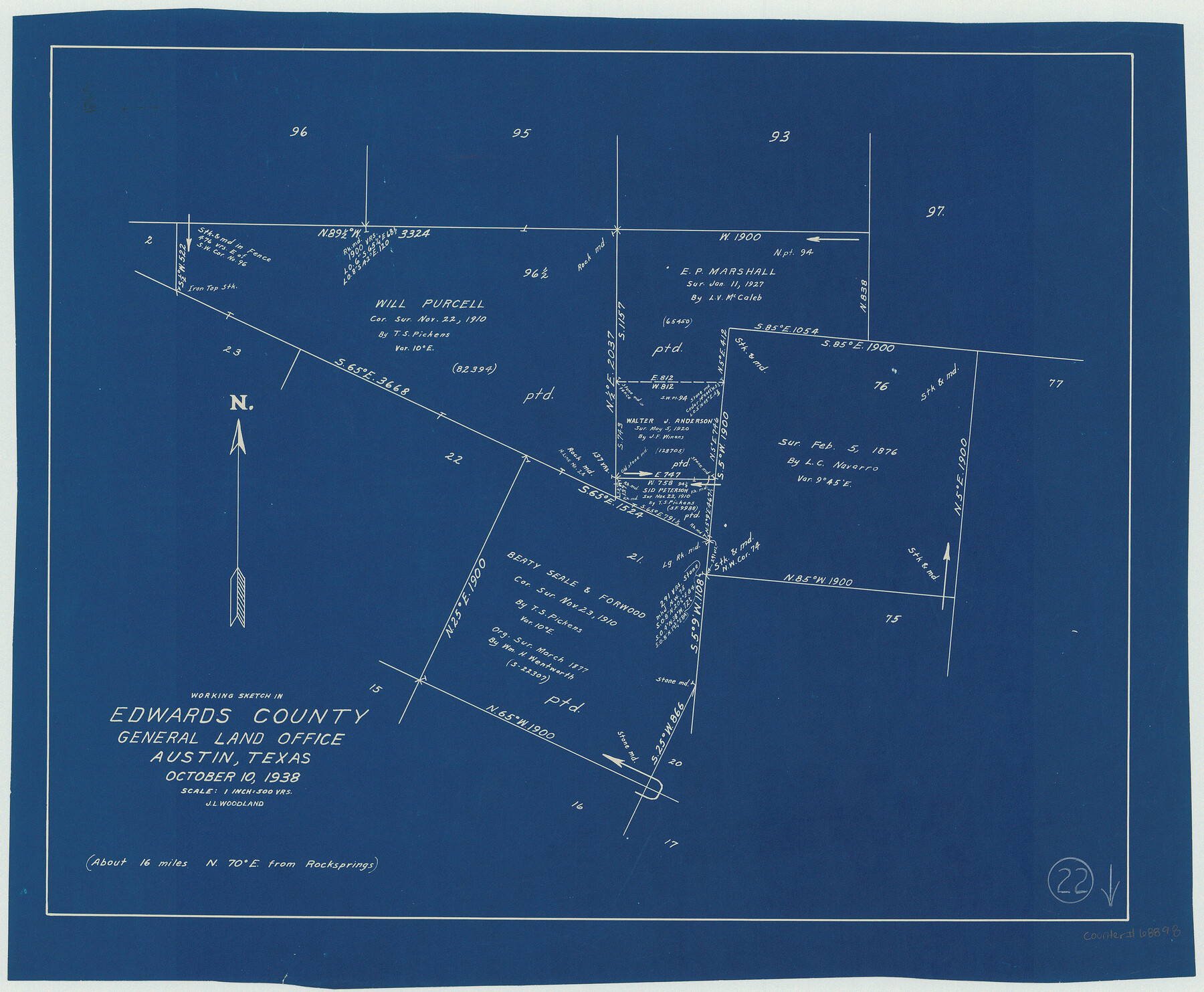
Edwards County Working Sketch 22
-
Map/Doc
68898
-
Collection
General Map Collection
-
Object Dates
10/10/1938 (Creation Date)
-
People and Organizations
J.L. Woodland (Draftsman)
-
Counties
Edwards
-
Subjects
Surveying Working Sketch
-
Height x Width
15.3 x 18.5 inches
38.9 x 47.0 cm
-
Scale
1" = 500 varas
Part of: General Map Collection
[Beaumont, Sour Lake and Western Ry. Right of Way and Alignment - Frisco]
![64130, [Beaumont, Sour Lake and Western Ry. Right of Way and Alignment - Frisco], General Map Collection](https://historictexasmaps.com/wmedia_w700/maps/64130.tif.jpg)
Print $20.00
- Digital $50.00
[Beaumont, Sour Lake and Western Ry. Right of Way and Alignment - Frisco]
1910
Size 20.3 x 45.9 inches
Map/Doc 64130
Angelina County Sketch File 15d

Print $20.00
- Digital $50.00
Angelina County Sketch File 15d
1863
Size 8.0 x 6.6 inches
Map/Doc 12980
Jackson County Working Sketch 13

Print $20.00
- Digital $50.00
Jackson County Working Sketch 13
1994
Size 22.2 x 30.3 inches
Map/Doc 66461
Donley County Sketch File B12

Print $6.00
- Digital $50.00
Donley County Sketch File B12
1982
Size 9.1 x 14.6 inches
Map/Doc 21276
Floyd County Sketch File 14

Print $10.00
- Digital $50.00
Floyd County Sketch File 14
1913
Size 11.3 x 8.7 inches
Map/Doc 22731
Newton County Sketch File 11

Print $4.00
- Digital $50.00
Newton County Sketch File 11
1876
Size 7.9 x 12.7 inches
Map/Doc 32380
Nueces County Rolled Sketch M-9

Print $20.00
- Digital $50.00
Nueces County Rolled Sketch M-9
1913
Size 37.6 x 38.3 inches
Map/Doc 9588
Blocks No. 8, 9 & 10 Houston & Great Northern Rail Road Company Surveys in Pecos County, Texas

Print $20.00
- Digital $50.00
Blocks No. 8, 9 & 10 Houston & Great Northern Rail Road Company Surveys in Pecos County, Texas
1891
Size 24.5 x 38.7 inches
Map/Doc 3955
Floyd County Sketch File 15

Print $12.00
- Digital $50.00
Floyd County Sketch File 15
1913
Size 10.9 x 7.3 inches
Map/Doc 22736
Swisher County Sketch File 11

Print $58.00
- Digital $50.00
Swisher County Sketch File 11
1917
Size 9.1 x 8.3 inches
Map/Doc 37633
Houston County Sketch File 33

Print $20.00
- Digital $50.00
Houston County Sketch File 33
1894
Size 16.9 x 18.4 inches
Map/Doc 11790
Reeves County Rolled Sketch 15

Print $20.00
- Digital $50.00
Reeves County Rolled Sketch 15
1960
Size 21.6 x 25.2 inches
Map/Doc 7484
You may also like
Dawson County Working Sketch 1

Print $20.00
- Digital $50.00
Dawson County Working Sketch 1
Size 11.1 x 14.1 inches
Map/Doc 68545
Hudspeth County Working Sketch 30

Print $40.00
- Digital $50.00
Hudspeth County Working Sketch 30
1972
Size 80.8 x 42.2 inches
Map/Doc 66312
Wharton County Boundary File 1b

Print $20.00
- Digital $50.00
Wharton County Boundary File 1b
Size 15.1 x 26.6 inches
Map/Doc 59855
Bandera County Working Sketch 3

Print $20.00
- Digital $50.00
Bandera County Working Sketch 3
1914
Size 14.5 x 13.9 inches
Map/Doc 67596
Burleson County Working Sketch 26

Print $20.00
- Digital $50.00
Burleson County Working Sketch 26
1981
Size 10.1 x 30.5 inches
Map/Doc 67745
General Highway Map, Wichita County, Texas

Print $20.00
General Highway Map, Wichita County, Texas
1961
Size 18.2 x 24.6 inches
Map/Doc 79709
Angelina County Sketch File 5

Print $6.00
- Digital $50.00
Angelina County Sketch File 5
1854
Size 8.6 x 6.6 inches
Map/Doc 12928
Dallas County Working Sketch 17

Print $40.00
- Digital $50.00
Dallas County Working Sketch 17
Size 23.3 x 50.5 inches
Map/Doc 68583
Jim Hogg County Sketch File 2

Print $20.00
- Digital $50.00
Jim Hogg County Sketch File 2
1926
Size 24.9 x 17.7 inches
Map/Doc 11884
Ellis County Sketch File 20

Print $19.00
- Digital $50.00
Ellis County Sketch File 20
1869
Size 12.8 x 8.2 inches
Map/Doc 21869
Carson County Rolled Sketch 1

Print $20.00
- Digital $50.00
Carson County Rolled Sketch 1
Size 31.2 x 33.4 inches
Map/Doc 8580
Galveston County NRC Article 33.136 Sketch 45

Print $21.00
- Digital $50.00
Galveston County NRC Article 33.136 Sketch 45
2007
Size 18.7 x 23.4 inches
Map/Doc 87365