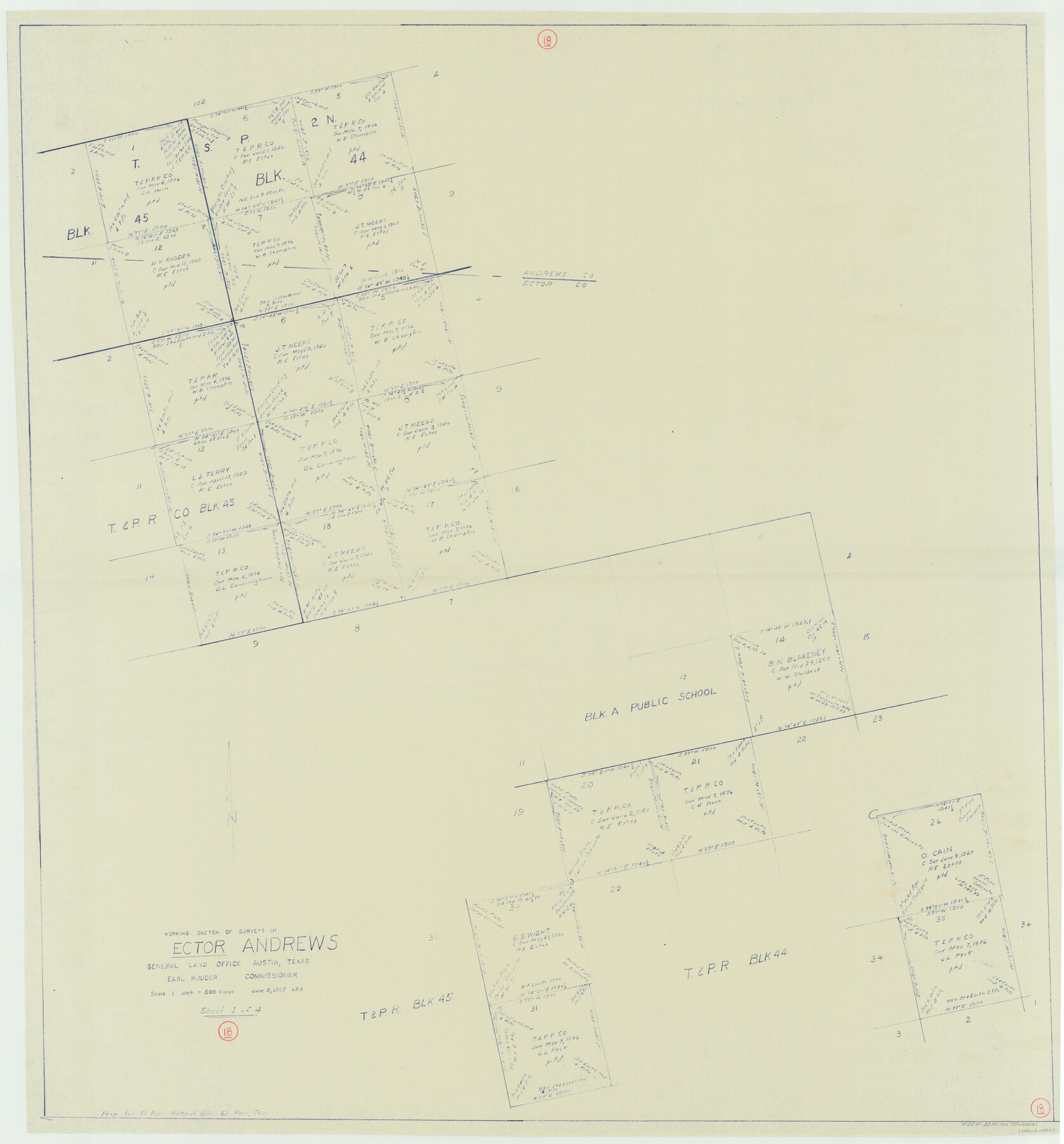
Ector County Working Sketch 18
-
Map/Doc
68861
-
Collection
General Map Collection
-
Object Dates
6/5/1957 (Creation Date)
-
Counties
Ector Andrews
-
Subjects
Surveying Working Sketch
-
Height x Width
42.0 x 39.1 inches
106.7 x 99.3 cm
-
Scale
1" = 500 varas
Part of: General Map Collection
Shelby County Sketch File 14

Print $4.00
- Digital $50.00
Shelby County Sketch File 14
1872
Size 9.8 x 8.9 inches
Map/Doc 36622
Hidalgo County Sketch File 19

Print $42.00
- Digital $50.00
Hidalgo County Sketch File 19
1983
Size 11.3 x 8.9 inches
Map/Doc 26448
Roberts County Working Sketch 18

Print $20.00
- Digital $50.00
Roberts County Working Sketch 18
1975
Size 35.6 x 39.7 inches
Map/Doc 63544
[San Antonio & Aransas Pass Through Gonzales County]
![64288, [San Antonio & Aransas Pass Through Gonzales County], General Map Collection](https://historictexasmaps.com/wmedia_w700/maps/64288.tif.jpg)
Print $20.00
- Digital $50.00
[San Antonio & Aransas Pass Through Gonzales County]
1880
Size 11.4 x 30.7 inches
Map/Doc 64288
Map of the State of Texas from the most recent authorities

Print $20.00
- Digital $50.00
Map of the State of Texas from the most recent authorities
1850
Size 13.8 x 17.3 inches
Map/Doc 89251
[Sketch for Mineral Application 1112 - Colorado River, H. E. Chambers]
![65639, [Sketch for Mineral Application 1112 - Colorado River, H. E. Chambers], General Map Collection](https://historictexasmaps.com/wmedia_w700/maps/65639.tif.jpg)
Print $20.00
- Digital $50.00
[Sketch for Mineral Application 1112 - Colorado River, H. E. Chambers]
1918
Size 17.3 x 28.3 inches
Map/Doc 65639
Reagan County Sketch File 26

Print $20.00
- Digital $50.00
Reagan County Sketch File 26
1948
Size 16.9 x 28.7 inches
Map/Doc 12223
Map of Blanco County

Print $20.00
- Digital $50.00
Map of Blanco County
1871
Size 22.1 x 17.2 inches
Map/Doc 3304
Live Oak County Working Sketch 17

Print $20.00
- Digital $50.00
Live Oak County Working Sketch 17
1960
Size 29.5 x 26.9 inches
Map/Doc 70602
Flight Mission No. DQN-5K, Frame 51, Calhoun County

Print $20.00
- Digital $50.00
Flight Mission No. DQN-5K, Frame 51, Calhoun County
1953
Size 18.6 x 22.2 inches
Map/Doc 84396
Kent County Rolled Sketch 7

Print $40.00
- Digital $50.00
Kent County Rolled Sketch 7
1954
Size 51.8 x 42.6 inches
Map/Doc 10221
Irion County Working Sketch 13

Print $40.00
- Digital $50.00
Irion County Working Sketch 13
1968
Size 88.1 x 31.6 inches
Map/Doc 66422
You may also like
Flight Mission No. DQO-1K, Frame 91, Galveston County

Print $20.00
- Digital $50.00
Flight Mission No. DQO-1K, Frame 91, Galveston County
1952
Size 18.8 x 22.4 inches
Map/Doc 84987
Webb County Sketch File 73

Print $20.00
- Digital $50.00
Webb County Sketch File 73
2020
Size 11.0 x 8.5 inches
Map/Doc 95917
General Highway Map, Kenedy County, Texas

Print $20.00
General Highway Map, Kenedy County, Texas
1940
Size 18.5 x 24.9 inches
Map/Doc 79154
Bexar County Sketch File 60

Print $4.00
- Digital $50.00
Bexar County Sketch File 60
2009
Size 11.0 x 8.5 inches
Map/Doc 93669
Culberson County Rolled Sketch 50

Print $20.00
- Digital $50.00
Culberson County Rolled Sketch 50
1963
Size 19.3 x 25.0 inches
Map/Doc 5669
Culberson County Working Sketch 23

Print $20.00
- Digital $50.00
Culberson County Working Sketch 23
1945
Size 38.3 x 44.7 inches
Map/Doc 68476
Grayson County Working Sketch 18

Print $20.00
- Digital $50.00
Grayson County Working Sketch 18
1955
Size 22.8 x 21.1 inches
Map/Doc 63257
Map of the United States

Print $20.00
- Digital $50.00
Map of the United States
1851
Size 25.1 x 25.3 inches
Map/Doc 93899
[Blocks M19, M3 & M20]
![91819, [Blocks M19, M3 & M20], Twichell Survey Records](https://historictexasmaps.com/wmedia_w700/maps/91819-1.tif.jpg)
Print $20.00
- Digital $50.00
[Blocks M19, M3 & M20]
Size 47.3 x 20.0 inches
Map/Doc 91819
Montague County Working Sketch 30

Print $20.00
- Digital $50.00
Montague County Working Sketch 30
1974
Size 22.7 x 23.3 inches
Map/Doc 71096
Runnels County Sketch File 34

Print $20.00
Runnels County Sketch File 34
1889
Size 16.6 x 26.7 inches
Map/Doc 12265
Harrison County Working Sketch 33

Print $20.00
- Digital $50.00
Harrison County Working Sketch 33
2015
Size 19.8 x 22.8 inches
Map/Doc 93725