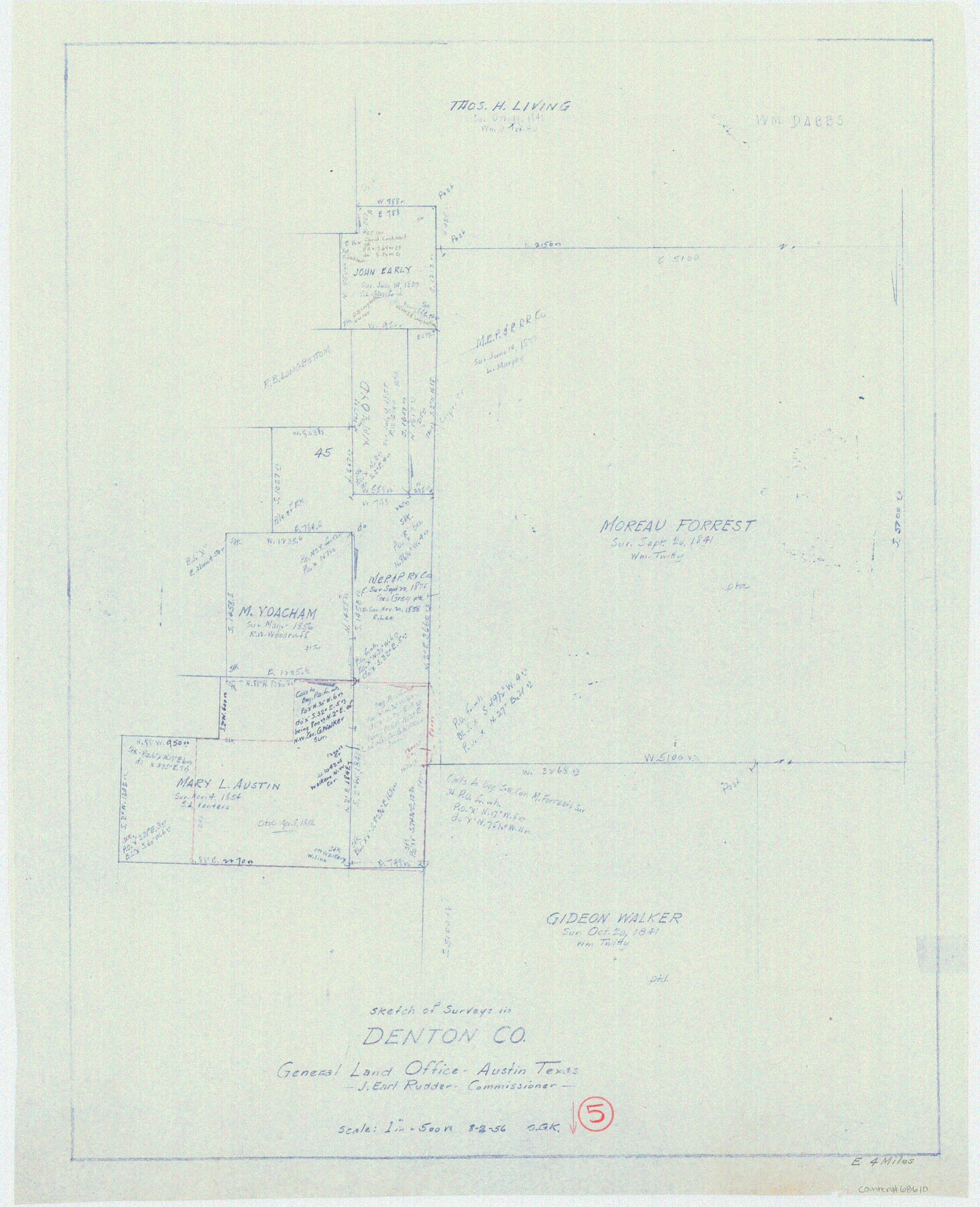
Denton County Working Sketch 5
-
Map/Doc
68610
-
Collection
General Map Collection
-
Object Dates
8/2/1956 (Creation Date)
-
People and Organizations
Otto G. Kurio (Draftsman)
-
Counties
Denton
-
Subjects
Surveying Working Sketch
-
Height x Width
23.9 x 19.4 inches
60.7 x 49.3 cm
-
Scale
1" = 500 varas
Part of: General Map Collection
Lynn County Boundary File 2

Print $6.00
- Digital $50.00
Lynn County Boundary File 2
Size 11.1 x 8.7 inches
Map/Doc 56620
Traced from Genl. Arista's map captured by the American Army under Genl. Taylor at Resaca de la Palma 9th May '46 and presented to James K. Polk, President U. States

Print $20.00
- Digital $50.00
Traced from Genl. Arista's map captured by the American Army under Genl. Taylor at Resaca de la Palma 9th May '46 and presented to James K. Polk, President U. States
1846
Size 18.2 x 27.4 inches
Map/Doc 73061
DeWitt County Working Sketch 4

Print $20.00
- Digital $50.00
DeWitt County Working Sketch 4
1963
Size 37.0 x 45.6 inches
Map/Doc 68594
Roberts County Working Sketch 28

Print $20.00
- Digital $50.00
Roberts County Working Sketch 28
1983
Size 39.7 x 29.8 inches
Map/Doc 63554
Pecos County Rolled Sketch 103A

Print $20.00
- Digital $50.00
Pecos County Rolled Sketch 103A
1940
Size 29.3 x 33.4 inches
Map/Doc 7252
Gregg County Sketch File 16

Print $6.00
- Digital $50.00
Gregg County Sketch File 16
1931
Size 17.0 x 11.0 inches
Map/Doc 24619
Flight Mission No. CRC-1R, Frame 154, Chambers County

Print $20.00
- Digital $50.00
Flight Mission No. CRC-1R, Frame 154, Chambers County
1956
Size 18.9 x 22.5 inches
Map/Doc 84716
Bastrop County Boundary File 6

Print $20.00
- Digital $50.00
Bastrop County Boundary File 6
Size 8.8 x 7.9 inches
Map/Doc 50337
Leon County Working Sketch 40

Print $20.00
- Digital $50.00
Leon County Working Sketch 40
1980
Size 31.4 x 20.5 inches
Map/Doc 70439
Brewster County Rolled Sketch 122

Print $20.00
- Digital $50.00
Brewster County Rolled Sketch 122
1974
Size 32.0 x 25.5 inches
Map/Doc 5297
Flight Mission No. DCL-6C, Frame 76, Kenedy County

Print $20.00
- Digital $50.00
Flight Mission No. DCL-6C, Frame 76, Kenedy County
1943
Size 18.6 x 22.3 inches
Map/Doc 85918
Castro County Sketch File 6

Print $20.00
- Digital $50.00
Castro County Sketch File 6
Size 20.8 x 15.6 inches
Map/Doc 11059
You may also like
Presidio County Rolled Sketch 117

Print $20.00
- Digital $50.00
Presidio County Rolled Sketch 117
Size 29.1 x 28.8 inches
Map/Doc 7392
Ward County Rolled Sketch 9

Print $40.00
- Digital $50.00
Ward County Rolled Sketch 9
1936
Size 51.5 x 41.9 inches
Map/Doc 10105
Flight Mission No. BQR-9K, Frame 9, Brazoria County

Print $20.00
- Digital $50.00
Flight Mission No. BQR-9K, Frame 9, Brazoria County
1952
Size 18.6 x 22.3 inches
Map/Doc 84038
Borden County Rolled Sketch 8

Print $20.00
- Digital $50.00
Borden County Rolled Sketch 8
1951
Size 23.8 x 28.6 inches
Map/Doc 5159
Limestone County Working Sketch 1

Print $20.00
- Digital $50.00
Limestone County Working Sketch 1
Size 15.4 x 13.0 inches
Map/Doc 70551
Reeves County Sketch File 11

Print $20.00
- Digital $50.00
Reeves County Sketch File 11
1891
Size 20.1 x 17.9 inches
Map/Doc 12245
Leon County Rolled Sketch 12

Print $20.00
- Digital $50.00
Leon County Rolled Sketch 12
1974
Size 46.5 x 40.7 inches
Map/Doc 9431
Baylor County Sketch File 6

Print $8.00
- Digital $50.00
Baylor County Sketch File 6
1887
Size 14.3 x 8.8 inches
Map/Doc 14128
Galveston County NRC Article 33.136 Sketch 80

Print $24.00
- Digital $50.00
Galveston County NRC Article 33.136 Sketch 80
2014
Size 36.0 x 24.0 inches
Map/Doc 94987
Callahan County

Print $20.00
- Digital $50.00
Callahan County
1918
Size 45.5 x 40.3 inches
Map/Doc 4787
Sutton County Working Sketch 19

Print $20.00
- Digital $50.00
Sutton County Working Sketch 19
1978
Size 37.7 x 39.0 inches
Map/Doc 62362
General Highway Map, Hood County, Somervell County, Texas

Print $20.00
General Highway Map, Hood County, Somervell County, Texas
1940
Size 18.3 x 24.8 inches
Map/Doc 79131