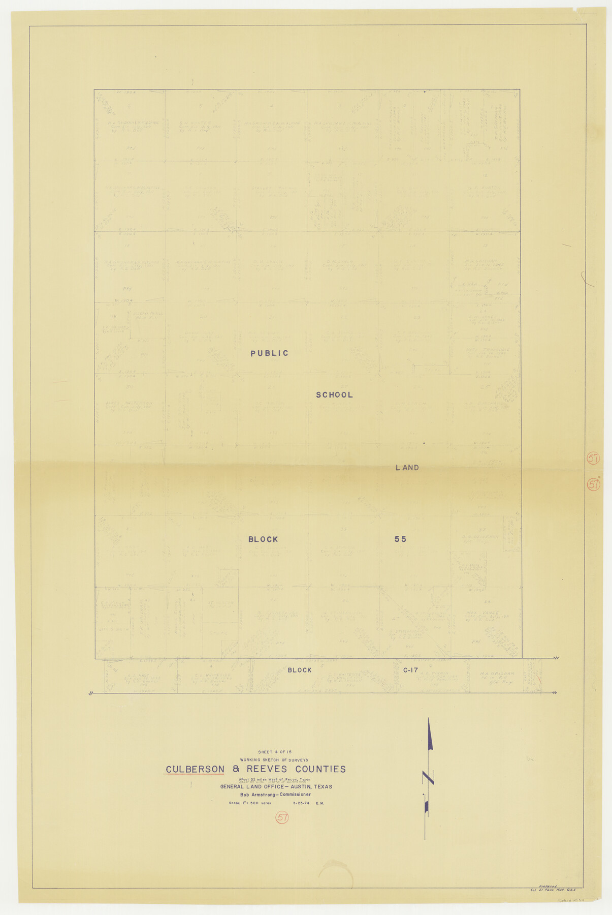
Culberson County Working Sketch 57
-
Map/Doc
68511
-
Collection
General Map Collection
-
Object Dates
3/25/1974 (Creation Date)
-
People and Organizations
Elbert Menzel (Draftsman)
-
Counties
Culberson Reeves
-
Subjects
Surveying Working Sketch
-
Height x Width
49.0 x 32.8 inches
124.5 x 83.3 cm
-
Scale
1" = 500 varas
Part of: General Map Collection
Sutton County Sketch File 54

Print $6.00
- Digital $50.00
Sutton County Sketch File 54
1948
Size 10.8 x 11.5 inches
Map/Doc 37534
Nolan County Rolled Sketch 3

Print $20.00
- Digital $50.00
Nolan County Rolled Sketch 3
Size 27.9 x 26.2 inches
Map/Doc 6864
Bell County Rolled Sketch 1

Print $20.00
- Digital $50.00
Bell County Rolled Sketch 1
1954
Size 39.7 x 43.2 inches
Map/Doc 8445
Harrison County Sketch File 16

Print $20.00
- Digital $50.00
Harrison County Sketch File 16
1910
Size 41.7 x 27.5 inches
Map/Doc 10488
Webb County Working Sketch 41

Print $20.00
- Digital $50.00
Webb County Working Sketch 41
1941
Size 15.7 x 18.8 inches
Map/Doc 72406
El Paso County Sketch File 41

Print $6.00
- Digital $50.00
El Paso County Sketch File 41
1994
Size 11.4 x 8.8 inches
Map/Doc 22238
Harris County Sketch File 74

Print $22.00
- Digital $50.00
Harris County Sketch File 74
1944
Size 17.1 x 12.2 inches
Map/Doc 25543
[Map of Val Verde County]
![4110, [Map of Val Verde County], General Map Collection](https://historictexasmaps.com/wmedia_w700/maps/4110-1.tif.jpg)
Print $20.00
- Digital $50.00
[Map of Val Verde County]
1931
Size 36.4 x 24.1 inches
Map/Doc 4110

Flight Mission No. BRA-3M, Frame 121, Jefferson County

Print $20.00
- Digital $50.00
Flight Mission No. BRA-3M, Frame 121, Jefferson County
1953
Size 18.8 x 22.3 inches
Map/Doc 85395
Aransas County Rolled Sketch 17

Aransas County Rolled Sketch 17
1953
Size 10.5 x 15.2 inches
Map/Doc 42219
Map of Nacogdoches County

Print $20.00
- Digital $50.00
Map of Nacogdoches County
1881
Size 24.0 x 21.3 inches
Map/Doc 4602
You may also like
Gillespie County Working Sketch 8

Print $20.00
- Digital $50.00
Gillespie County Working Sketch 8
1993
Size 31.1 x 24.2 inches
Map/Doc 63171
Culberson County Rolled Sketch 18

Print $6.00
- Digital $50.00
Culberson County Rolled Sketch 18
1911
Size 24.1 x 34.5 inches
Map/Doc 5650
Wichita County Sketch File 4

Print $20.00
- Digital $50.00
Wichita County Sketch File 4
1856
Size 9.8 x 33.2 inches
Map/Doc 76764
McMullen County

Print $20.00
- Digital $50.00
McMullen County
1967
Size 40.7 x 27.8 inches
Map/Doc 77363
Sketch for Mineral Application 26543 (D. H. Sanford) - 243.37 Acres

Print $3.00
- Digital $50.00
Sketch for Mineral Application 26543 (D. H. Sanford) - 243.37 Acres
1931
Size 16.6 x 3.7 inches
Map/Doc 65679
Presidio County Rolled Sketch 95

Print $20.00
- Digital $50.00
Presidio County Rolled Sketch 95
1949
Size 45.4 x 37.5 inches
Map/Doc 9781
Galveston Bay

Print $20.00
- Digital $50.00
Galveston Bay
1921
Size 43.4 x 35.4 inches
Map/Doc 69872
Harris County Sketch File 5a

Print $4.00
- Digital $50.00
Harris County Sketch File 5a
Size 8.4 x 11.0 inches
Map/Doc 25336

Bowie County Working Sketch 26

Print $20.00
- Digital $50.00
Bowie County Working Sketch 26
1980
Size 29.1 x 24.7 inches
Map/Doc 67430
Crockett County Working Sketch 11

Print $40.00
- Digital $50.00
Crockett County Working Sketch 11
1913
Size 47.9 x 33.5 inches
Map/Doc 68344
Sketch of Northeast Part of Lamb County, Texas

Print $20.00
- Digital $50.00
Sketch of Northeast Part of Lamb County, Texas
Size 24.7 x 20.6 inches
Map/Doc 91062