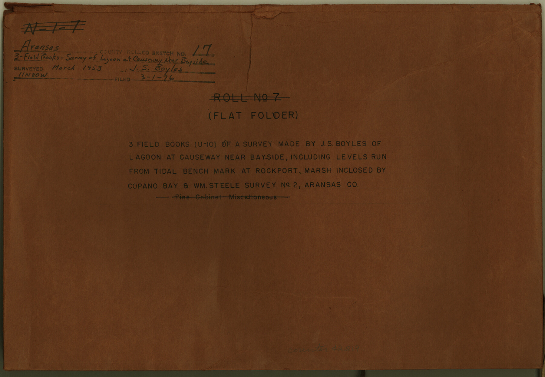
Aransas County Rolled Sketch 17
3 field books of a survey made by J.S. Boyles of lagoon at causeway near Bayside, including levels run from tidal bench mark at Rockport, marsh enclosed by Copano Bay & Wm. Steele survey no. 2
-
Map/Doc
42219
-
Collection
General Map Collection
-
Object Dates
1953 (Creation Date)
1976/3/1 (File Date)
-
People and Organizations
J.S. Boyles (Surveyor/Engineer)
H.C. Wellman (Chainman/Field Personnel)
Haddick Lyerly-Gates (Chainman/Field Personnel)
-
Counties
Aransas
-
Subjects
Bound Volume Surveying Rolled Sketch
-
Height x Width
10.5 x 15.2 inches
26.7 x 38.6 cm
-
Medium
paper, manuscript
Part of: General Map Collection

Flight Mission No. CGI-3N, Frame 134, Cameron County

Print $20.00
- Digital $50.00
Flight Mission No. CGI-3N, Frame 134, Cameron County
1954
Size 18.4 x 22.2 inches
Map/Doc 84607
Val Verde County Working Sketch 69

Print $20.00
- Digital $50.00
Val Verde County Working Sketch 69
1965
Size 35.6 x 37.3 inches
Map/Doc 72204
Glasscock County Working Sketch 9

Print $40.00
- Digital $50.00
Glasscock County Working Sketch 9
1957
Size 77.9 x 25.5 inches
Map/Doc 63182
Howard County Working Sketch 3

Print $20.00
- Digital $50.00
Howard County Working Sketch 3
1904
Size 26.8 x 20.1 inches
Map/Doc 66269
Galveston to Rio Grande

Print $20.00
- Digital $50.00
Galveston to Rio Grande
1946
Size 44.8 x 36.9 inches
Map/Doc 69953
Flight Mission No. DQN-1K, Frame 146, Calhoun County

Print $20.00
- Digital $50.00
Flight Mission No. DQN-1K, Frame 146, Calhoun County
1953
Size 18.7 x 22.3 inches
Map/Doc 84209
Milam County Rolled Sketch 5A

Print $20.00
- Digital $50.00
Milam County Rolled Sketch 5A
1997
Size 28.0 x 39.8 inches
Map/Doc 6778
Tom Green County Rolled Sketch 8

Print $20.00
- Digital $50.00
Tom Green County Rolled Sketch 8
Size 18.3 x 26.0 inches
Map/Doc 7996
Matagorda County Sketch File 7a

Print $8.00
- Digital $50.00
Matagorda County Sketch File 7a
1890
Size 14.2 x 8.9 inches
Map/Doc 30740

Martha's Vineyard to Block Island Including Western Approach to Cape Cod Canal

Print $20.00
- Digital $50.00
Martha's Vineyard to Block Island Including Western Approach to Cape Cod Canal
1963
Size 37.5 x 45.7 inches
Map/Doc 73554
You may also like
Flight Mission No. BRE-1P, Frame 144, Nueces County

Print $20.00
- Digital $50.00
Flight Mission No. BRE-1P, Frame 144, Nueces County
1956
Size 18.3 x 22.3 inches
Map/Doc 86704
Newton County Boundary File 1a

Print $20.00
- Digital $50.00
Newton County Boundary File 1a
Size 36.7 x 17.8 inches
Map/Doc 57616
Travis County Working Sketch Graphic Index - north part

Print $40.00
- Digital $50.00
Travis County Working Sketch Graphic Index - north part
1936
Size 43.0 x 53.2 inches
Map/Doc 76717
Jeff Davis County Sketch File 38

Print $8.00
- Digital $50.00
Jeff Davis County Sketch File 38
1952
Size 14.3 x 9.1 inches
Map/Doc 28054
Cram's Superior Map of Illinois

Print $40.00
- Digital $50.00
Cram's Superior Map of Illinois
1903
Size 50.2 x 40.5 inches
Map/Doc 97110
Flight Mission No. DAG-21K, Frame 93, Matagorda County

Print $20.00
- Digital $50.00
Flight Mission No. DAG-21K, Frame 93, Matagorda County
1952
Size 18.6 x 22.2 inches
Map/Doc 86422

Travis County Working Sketch 55

Print $20.00
- Digital $50.00
Travis County Working Sketch 55
1988
Size 23.0 x 37.0 inches
Map/Doc 69439
Maps & Lists Showing Prison Lands (Oil & Gas) Leased as of June 1955

Digital $50.00
Maps & Lists Showing Prison Lands (Oil & Gas) Leased as of June 1955
1934
Size 35.6 x 32.3 inches
Map/Doc 62879
Delta County Working Sketch Graphic Index

Print $20.00
- Digital $50.00
Delta County Working Sketch Graphic Index
1942
Size 25.3 x 39.2 inches
Map/Doc 76520
General Highway Map, Maverick County, Zavala County, Texas

Print $20.00
General Highway Map, Maverick County, Zavala County, Texas
1940
Size 18.6 x 24.7 inches
Map/Doc 79189
Presidio County Rolled Sketch SM

Print $15.00
- Digital $50.00
Presidio County Rolled Sketch SM
1910
Size 9.5 x 15.0 inches
Map/Doc 48822