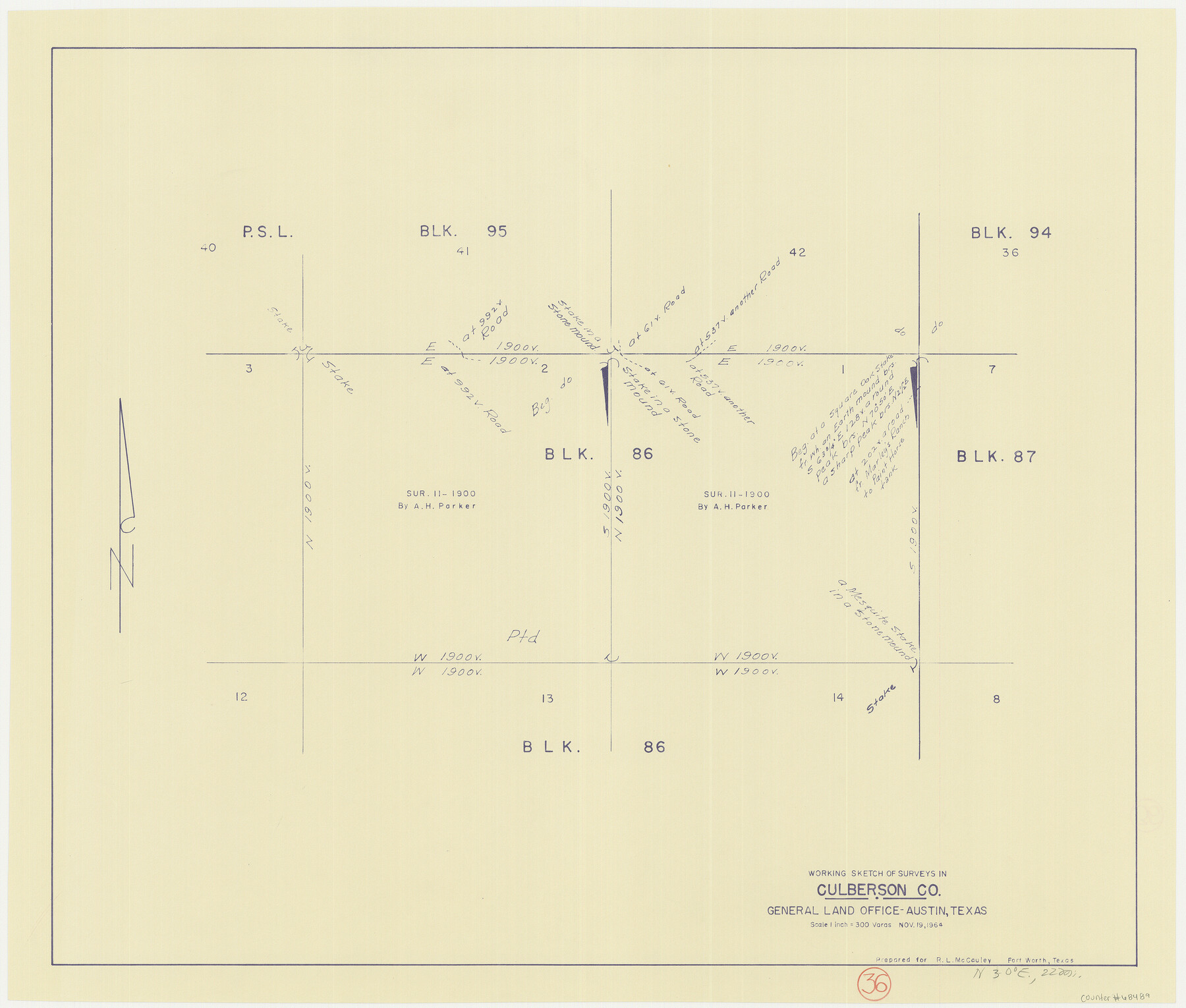
Culberson County Working Sketch 36
-
Map/Doc
68489
-
Collection
General Map Collection
-
Object Dates
11/19/1964 (Creation Date)
-
Counties
Culberson
-
Subjects
Surveying Working Sketch
-
Height x Width
20.8 x 24.4 inches
52.8 x 62.0 cm
-
Scale
1" = 300 varas
Part of: General Map Collection

Fisher County Working Sketch 10

Print $20.00
- Digital $50.00
Fisher County Working Sketch 10
1952
Size 40.5 x 40.7 inches
Map/Doc 69144
Polk County Sketch File 17

Print $4.00
- Digital $50.00
Polk County Sketch File 17
1861
Size 8.1 x 9.5 inches
Map/Doc 34163
Crockett County Working Sketch 32

Print $20.00
- Digital $50.00
Crockett County Working Sketch 32
1925
Size 20.3 x 41.3 inches
Map/Doc 68365
Foard County Working Sketch 1

Print $20.00
- Digital $50.00
Foard County Working Sketch 1
1899
Size 20.5 x 22.8 inches
Map/Doc 69191
Coleman County Sketch File A2

Print $5.00
- Digital $50.00
Coleman County Sketch File A2
1879
Size 9.2 x 10.8 inches
Map/Doc 18667
Henderson County Rolled Sketch 11

Print $20.00
- Digital $50.00
Henderson County Rolled Sketch 11
1915
Size 29.5 x 42.5 inches
Map/Doc 75960
Hudspeth County Working Sketch 16

Print $40.00
- Digital $50.00
Hudspeth County Working Sketch 16
Size 22.2 x 56.6 inches
Map/Doc 69649
Wise County Working Sketch 4

Print $20.00
- Digital $50.00
Wise County Working Sketch 4
1948
Size 33.2 x 31.5 inches
Map/Doc 72618

Kinney County Rolled Sketch 19

Print $20.00
- Digital $50.00
Kinney County Rolled Sketch 19
1978
Size 20.7 x 16.8 inches
Map/Doc 6546
Mason County Sketch File 8

Print $4.00
- Digital $50.00
Mason County Sketch File 8
1876
Size 13.2 x 8.4 inches
Map/Doc 30691
You may also like
Armstrong County Sketch File A-4

Print $40.00
- Digital $50.00
Armstrong County Sketch File A-4
Size 14.8 x 20.5 inches
Map/Doc 10845
Red River County Sketch File 21

Print $4.00
- Digital $50.00
Red River County Sketch File 21
Size 12.7 x 7.9 inches
Map/Doc 35154
Flight Mission No. BRA-16M, Frame 114, Jefferson County

Print $20.00
- Digital $50.00
Flight Mission No. BRA-16M, Frame 114, Jefferson County
1953
Size 18.5 x 22.3 inches
Map/Doc 85724
Angelina County Sketch File 16

Print $11.00
- Digital $50.00
Angelina County Sketch File 16
Size 7.9 x 3.8 inches
Map/Doc 13004
Comal County Sketch File 2

Print $22.00
- Digital $50.00
Comal County Sketch File 2
1848
Size 13.7 x 13.3 inches
Map/Doc 18997
Liberty County Sketch File 5a

Print $6.00
- Digital $50.00
Liberty County Sketch File 5a
1857
Size 12.2 x 7.8 inches
Map/Doc 29887
[Sketch showing part of H. & G. N. Block 1]
![89633, [Sketch showing part of H. & G. N. Block 1], Twichell Survey Records](https://historictexasmaps.com/wmedia_w700/maps/89633-1.tif.jpg)
Print $40.00
- Digital $50.00
[Sketch showing part of H. & G. N. Block 1]
Size 20.0 x 54.4 inches
Map/Doc 89633
Map of Newton County

Print $40.00
- Digital $50.00
Map of Newton County
1894
Size 69.8 x 28.4 inches
Map/Doc 82078
Sterling County Sketch File 24

Print $6.00
- Digital $50.00
Sterling County Sketch File 24
1955
Size 11.1 x 8.5 inches
Map/Doc 37189
Blanco County Working Sketch 24

Print $20.00
- Digital $50.00
Blanco County Working Sketch 24
1963
Size 30.2 x 31.2 inches
Map/Doc 67384
United States - Gulf Coast Texas - Southern part of Laguna Madre

Print $20.00
- Digital $50.00
United States - Gulf Coast Texas - Southern part of Laguna Madre
1941
Size 26.8 x 18.3 inches
Map/Doc 72946
Taylor County Sketch File 22

Print $189.00
- Digital $50.00
Taylor County Sketch File 22
1985
Size 14.6 x 8.9 inches
Map/Doc 37826