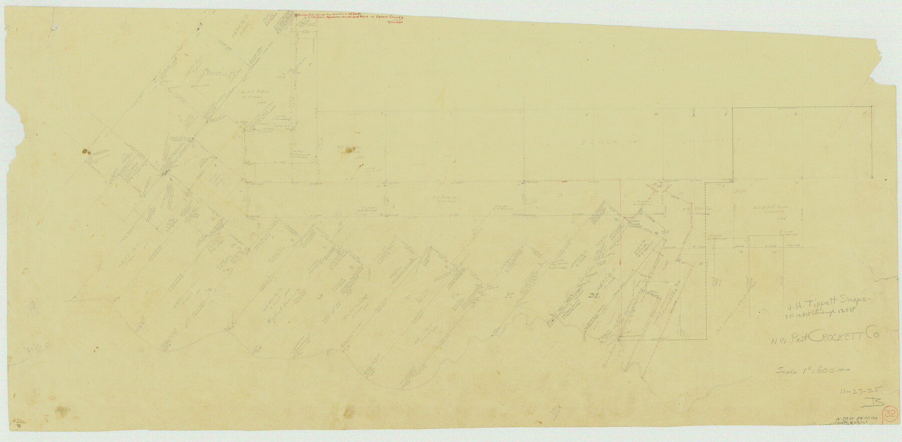
Crockett County Working Sketch 32
-
Map/Doc
68365
-
Collection
General Map Collection
-
Object Dates
11/27/1925 (Creation Date)
-
Counties
Crockett
-
Subjects
Surveying Working Sketch
-
Height x Width
20.3 x 41.3 inches
51.6 x 104.9 cm
-
Scale
1" = 600 varas
Part of: General Map Collection
McLennan County Boundary File 6

Print $16.00
- Digital $50.00
McLennan County Boundary File 6
Size 11.1 x 8.6 inches
Map/Doc 56997
Coryell County Working Sketch 30

Print $20.00
- Digital $50.00
Coryell County Working Sketch 30
2001
Size 37.1 x 38.7 inches
Map/Doc 68237
Boundary and Ownership map, Laguna Atascosa National Wildlife Refuge, Cameron and Willacy Counties, Texas

Print $40.00
- Digital $50.00
Boundary and Ownership map, Laguna Atascosa National Wildlife Refuge, Cameron and Willacy Counties, Texas
1968
Size 73.1 x 43.0 inches
Map/Doc 60394
Concho County Rolled Sketch 21

Print $20.00
- Digital $50.00
Concho County Rolled Sketch 21
1969
Size 38.3 x 43.5 inches
Map/Doc 8666
Dallam County

Print $20.00
- Digital $50.00
Dallam County
1901
Size 42.3 x 52.4 inches
Map/Doc 16953
Terrell County

Print $40.00
- Digital $50.00
Terrell County
1931
Size 48.5 x 40.5 inches
Map/Doc 73300
Mitchell County Boundary File 1c

Print $12.00
- Digital $50.00
Mitchell County Boundary File 1c
Size 8.7 x 12.3 inches
Map/Doc 57361
Grayson County Working Sketch 8

Print $20.00
- Digital $50.00
Grayson County Working Sketch 8
1944
Size 19.8 x 16.7 inches
Map/Doc 63247
Kleberg County Boundary File 3

Print $10.00
- Digital $50.00
Kleberg County Boundary File 3
Size 9.5 x 6.1 inches
Map/Doc 64981
Gaines County Working Sketch 9

Print $40.00
- Digital $50.00
Gaines County Working Sketch 9
1951
Size 75.2 x 20.8 inches
Map/Doc 69309
Burleson County Working Sketch 43

Print $20.00
- Digital $50.00
Burleson County Working Sketch 43
1991
Size 35.8 x 14.1 inches
Map/Doc 67762
Culberson County Working Sketch 23a

Print $20.00
- Digital $50.00
Culberson County Working Sketch 23a
1947
Size 32.1 x 46.4 inches
Map/Doc 68475
You may also like
Cass County Rolled Sketch OPD

Print $20.00
- Digital $50.00
Cass County Rolled Sketch OPD
1936
Size 29.6 x 24.9 inches
Map/Doc 5415
Mappa Geographica Regionem Mexicanam et Floridam, Terrasque adjacentes, ut et Anteriores Americae Insulas, Curfus itidem et Reditus Navigantuim verfus flumen Missisipi et alias Colonias ob oculos ponens, cura et fumptibus

Print $20.00
Mappa Geographica Regionem Mexicanam et Floridam, Terrasque adjacentes, ut et Anteriores Americae Insulas, Curfus itidem et Reditus Navigantuim verfus flumen Missisipi et alias Colonias ob oculos ponens, cura et fumptibus
1725
Size 20.0 x 24.0 inches
Map/Doc 76196
Hale County Sketch File B

Print $20.00
- Digital $50.00
Hale County Sketch File B
1897
Size 17.3 x 23.9 inches
Map/Doc 11599
Tarrant County Working Sketch 1

Print $20.00
- Digital $50.00
Tarrant County Working Sketch 1
1939
Size 12.2 x 18.9 inches
Map/Doc 62418
South Part Crockett County

Print $40.00
- Digital $50.00
South Part Crockett County
1977
Size 39.1 x 51.2 inches
Map/Doc 95471
Comanche County Sketch File 20

Print $40.00
- Digital $50.00
Comanche County Sketch File 20
Size 15.5 x 12.6 inches
Map/Doc 19103
Right-of-Way and Track Map, Texas State Railroad operated by the T. and N.O. R.R. Co.

Print $40.00
- Digital $50.00
Right-of-Way and Track Map, Texas State Railroad operated by the T. and N.O. R.R. Co.
1917
Size 25.2 x 56.1 inches
Map/Doc 64171
Geographical Observations on the Inner Margins of the Border and Coastal Reserves of Texas, 1824-1836

Geographical Observations on the Inner Margins of the Border and Coastal Reserves of Texas, 1824-1836
2022
Map/Doc 97131
Kimble County Rolled Sketch 12

Print $20.00
- Digital $50.00
Kimble County Rolled Sketch 12
Size 24.6 x 26.2 inches
Map/Doc 6507
Nueces County NRC Article 33.136 Location Key Sheet

Print $20.00
- Digital $50.00
Nueces County NRC Article 33.136 Location Key Sheet
1975
Size 27.3 x 23.0 inches
Map/Doc 88587
Burnet County Rolled Sketch 4

Print $20.00
- Digital $50.00
Burnet County Rolled Sketch 4
1949
Size 31.9 x 17.5 inches
Map/Doc 5356
Flight Mission No. BRA-8M, Frame 128, Jefferson County

Print $20.00
- Digital $50.00
Flight Mission No. BRA-8M, Frame 128, Jefferson County
1953
Size 18.6 x 22.3 inches
Map/Doc 85624