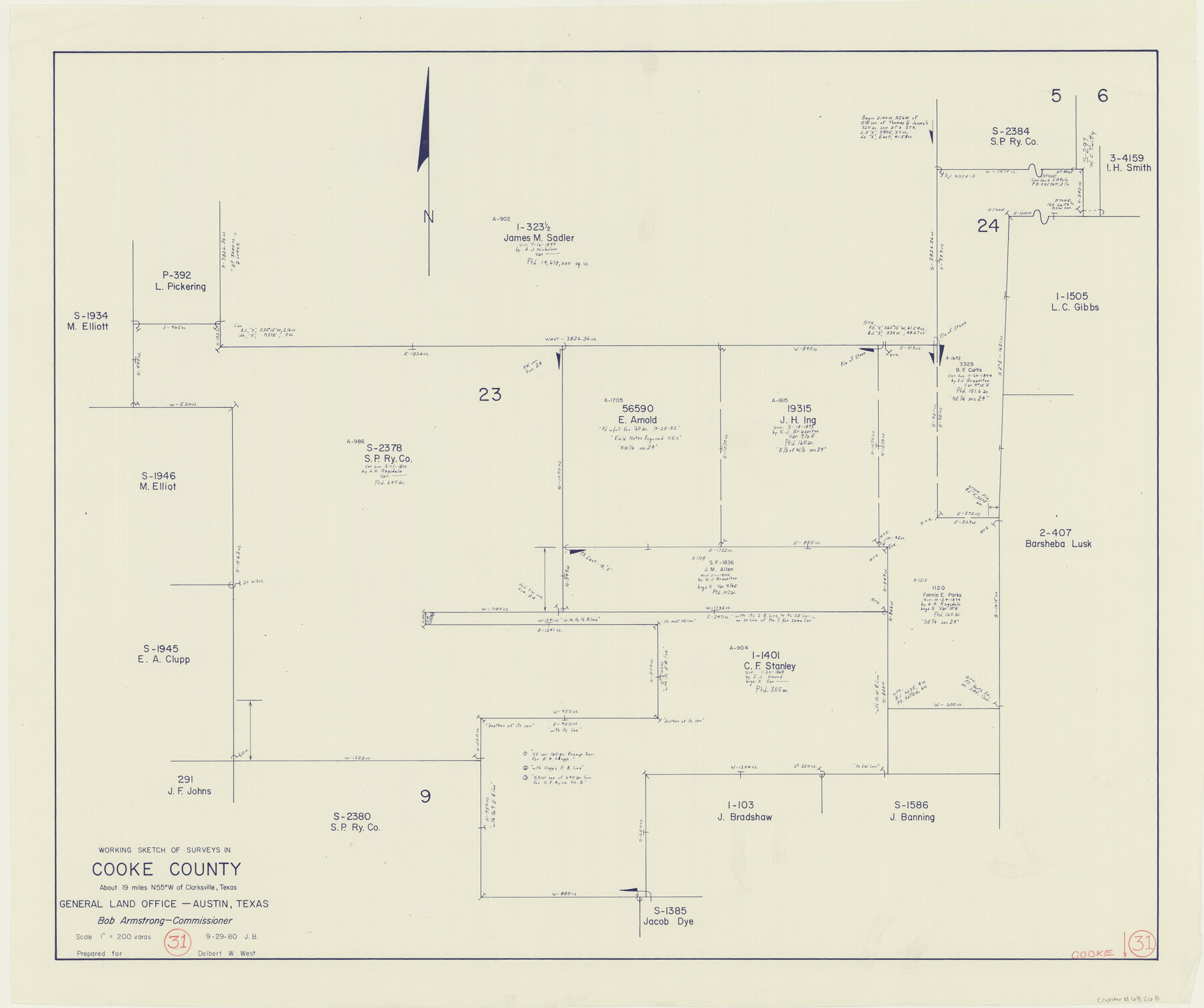
Cooke County Working Sketch 31
-
Map/Doc
68268
-
Collection
General Map Collection
-
Object Dates
9/29/1980 (Creation Date)
-
Counties
Cooke
-
Subjects
Surveying Working Sketch
-
Height x Width
27.0 x 32.2 inches
68.6 x 81.8 cm
-
Scale
1" = 200 varas
Part of: General Map Collection
Childress County Sketch File 12

Print $22.00
- Digital $50.00
Childress County Sketch File 12
Size 13.3 x 8.7 inches
Map/Doc 18255
Orange County Aerial Photograph Index Sheet 1

Print $20.00
- Digital $50.00
Orange County Aerial Photograph Index Sheet 1
1957
Size 24.1 x 20.4 inches
Map/Doc 83740
Bastrop County Sketch File 13

Print $6.00
- Digital $50.00
Bastrop County Sketch File 13
1845
Size 10.1 x 15.8 inches
Map/Doc 14070
Padre Island National Seashore, Texas - Dependent Resurvey

Print $2.00
- Digital $50.00
Padre Island National Seashore, Texas - Dependent Resurvey
Size 11.5 x 8.3 inches
Map/Doc 60542
Brewster County Working Sketch 103

Print $40.00
- Digital $50.00
Brewster County Working Sketch 103
1980
Size 48.4 x 31.1 inches
Map/Doc 67703
Flight Mission No. CGI-2N, Frame 181, Cameron County

Print $20.00
- Digital $50.00
Flight Mission No. CGI-2N, Frame 181, Cameron County
1954
Size 18.4 x 22.2 inches
Map/Doc 84541
Val Verde County Working Sketch 23

Print $20.00
- Digital $50.00
Val Verde County Working Sketch 23
1932
Size 29.6 x 24.9 inches
Map/Doc 72158
Controlled Mosaic by Jack Amman Photogrammetric Engineers, Inc - Sheet 26

Print $20.00
- Digital $50.00
Controlled Mosaic by Jack Amman Photogrammetric Engineers, Inc - Sheet 26
1954
Size 20.0 x 24.0 inches
Map/Doc 83477
Pecos County Working Sketch 49

Print $20.00
- Digital $50.00
Pecos County Working Sketch 49
1947
Size 22.4 x 15.3 inches
Map/Doc 71521
Packery Channel

Print $3.00
- Digital $50.00
Packery Channel
1962
Size 10.6 x 12.8 inches
Map/Doc 3006
Copy of Surveyor's Field Book, Morris Browning - In Blocks 7, 5 & 4, I&GNRRCo., Hutchinson and Carson Counties, Texas

Print $2.00
- Digital $50.00
Copy of Surveyor's Field Book, Morris Browning - In Blocks 7, 5 & 4, I&GNRRCo., Hutchinson and Carson Counties, Texas
1888
Size 6.9 x 8.8 inches
Map/Doc 62271
Henderson County

Print $20.00
- Digital $50.00
Henderson County
1856
Size 17.9 x 29.2 inches
Map/Doc 3664
You may also like
Lamar County State Real Property Sketch 1

Print $20.00
- Digital $50.00
Lamar County State Real Property Sketch 1
2013
Size 24.0 x 36.0 inches
Map/Doc 93659
Map of Red River County

Print $20.00
- Digital $50.00
Map of Red River County
1856
Size 22.2 x 18.4 inches
Map/Doc 3981
Galveston County Rolled Sketch 42

Print $20.00
- Digital $50.00
Galveston County Rolled Sketch 42
1982
Size 42.9 x 40.6 inches
Map/Doc 9021
Map of Edwards County, Texas

Print $20.00
- Digital $50.00
Map of Edwards County, Texas
Size 21.5 x 18.2 inches
Map/Doc 92635
Bandera County Working Sketch 5

Print $3.00
- Digital $50.00
Bandera County Working Sketch 5
1915
Size 12.0 x 9.0 inches
Map/Doc 67598
Starr County Working Sketch 11

Print $20.00
- Digital $50.00
Starr County Working Sketch 11
1944
Size 18.1 x 17.7 inches
Map/Doc 63927
Fayette County Working Sketch 2

Print $20.00
- Digital $50.00
Fayette County Working Sketch 2
1979
Size 40.6 x 37.8 inches
Map/Doc 69166
La Salle County Sketch File 38

Print $40.00
- Digital $50.00
La Salle County Sketch File 38
Size 13.7 x 14.5 inches
Map/Doc 29590
Presidio County Rolled Sketch WR1

Print $20.00
- Digital $50.00
Presidio County Rolled Sketch WR1
1927
Size 20.4 x 23.0 inches
Map/Doc 7421

Jackson County Sketch File 5a

Print $4.00
- Digital $50.00
Jackson County Sketch File 5a
1881
Size 8.0 x 9.9 inches
Map/Doc 27630
Hemphill County Working Sketch 35

Print $20.00
- Digital $50.00
Hemphill County Working Sketch 35
1978
Size 35.9 x 44.8 inches
Map/Doc 66130