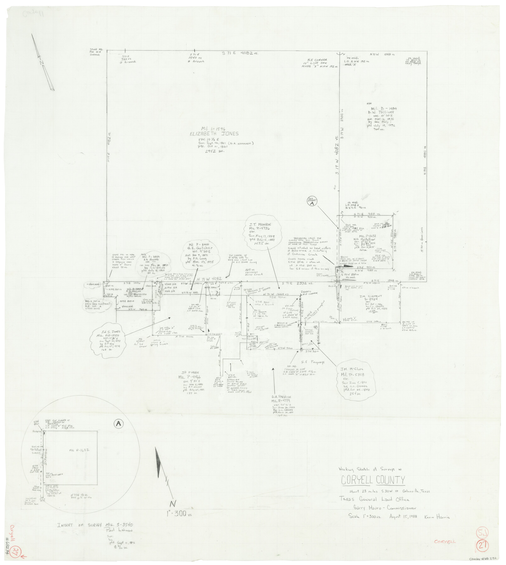
Coryell County Working Sketch 27
-
Map/Doc
68234
-
Collection
General Map Collection
-
Object Dates
8/15/1988 (Creation Date)
-
People and Organizations
Kevin Harris (Draftsman)
-
Counties
Coryell
-
Subjects
Surveying Working Sketch
-
Height x Width
15.5 x 20.0 inches
39.4 x 50.8 cm
-
Scale
1" = 300 varas
Part of: General Map Collection
Austin County Sketch File 6a

Print $14.00
- Digital $50.00
Austin County Sketch File 6a
1895
Size 11.2 x 8.6 inches
Map/Doc 13865
Harris County Historic Topographic 25

Print $20.00
- Digital $50.00
Harris County Historic Topographic 25
1916
Size 29.2 x 22.7 inches
Map/Doc 65836
Intracoastal Waterway - Port Arthur to Galveston Bay

Print $20.00
- Digital $50.00
Intracoastal Waterway - Port Arthur to Galveston Bay
1957
Size 27.0 x 38.6 inches
Map/Doc 69830
Nolan County Sketch File 2

Print $40.00
- Digital $50.00
Nolan County Sketch File 2
Size 49.5 x 41.6 inches
Map/Doc 10556
Portion of States submerged area in Lavaca Bay, Calhoun County, Texas

Print $20.00
- Digital $50.00
Portion of States submerged area in Lavaca Bay, Calhoun County, Texas
1921
Size 23.0 x 27.0 inches
Map/Doc 2940
Atascosa County Sketch File 40

Print $40.00
- Digital $50.00
Atascosa County Sketch File 40
1881
Size 15.2 x 12.6 inches
Map/Doc 13835
Baylor County Rolled Sketch 10

Print $20.00
- Digital $50.00
Baylor County Rolled Sketch 10
Size 28.0 x 14.0 inches
Map/Doc 5127
Colorado County Sketch File 11

Print $6.00
- Digital $50.00
Colorado County Sketch File 11
Size 12.7 x 11.0 inches
Map/Doc 18935
Threading the Islands: Which track fits?

Threading the Islands: Which track fits?
1986
Size 20.5 x 14.7 inches
Map/Doc 96838
Hemphill County Working Sketch 4

Print $20.00
- Digital $50.00
Hemphill County Working Sketch 4
1940
Size 31.6 x 41.6 inches
Map/Doc 66099
Bexar County State Real Property Sketch 5

Print $40.00
- Digital $50.00
Bexar County State Real Property Sketch 5
2019
Size 48.0 x 35.8 inches
Map/Doc 95710
Burnet County Sketch File 43

Print $8.00
- Digital $50.00
Burnet County Sketch File 43
1856
Size 9.4 x 6.0 inches
Map/Doc 16763
You may also like
Flight Mission No. BRE-1P, Frame 116, Nueces County

Print $20.00
- Digital $50.00
Flight Mission No. BRE-1P, Frame 116, Nueces County
1956
Size 18.6 x 22.5 inches
Map/Doc 86682
Chambers County NRC Article 33.136 Sketch 6

Print $58.00
- Digital $50.00
Chambers County NRC Article 33.136 Sketch 6
2007
Size 11.0 x 8.5 inches
Map/Doc 88802
Galveston County NRC Article 33.136 Sketch 56

Print $42.00
- Digital $50.00
Galveston County NRC Article 33.136 Sketch 56
2009
Size 22.0 x 34.0 inches
Map/Doc 94733
Presidio County Rolled Sketch 35

Print $20.00
- Digital $50.00
Presidio County Rolled Sketch 35
Size 44.7 x 32.1 inches
Map/Doc 9774
Nueces County Sketch File 71

Print $19.00
- Digital $50.00
Nueces County Sketch File 71
1991
Size 11.2 x 8.7 inches
Map/Doc 33011
Webb County Working Sketch 13

Print $20.00
- Digital $50.00
Webb County Working Sketch 13
1922
Size 14.6 x 11.4 inches
Map/Doc 72378
Crockett County Working Sketch 70

Print $40.00
- Digital $50.00
Crockett County Working Sketch 70
1963
Size 23.7 x 49.5 inches
Map/Doc 68403
Uvalde County Rolled Sketch 23

Print $20.00
- Digital $50.00
Uvalde County Rolled Sketch 23
2008
Size 24.6 x 32.6 inches
Map/Doc 89024

Jackson County NRC Article 33.136 Sketch 1

Print $66.00
- Digital $50.00
Jackson County NRC Article 33.136 Sketch 1
2013
Size 34.0 x 22.0 inches
Map/Doc 94950
Red River County, Texas

Print $20.00
- Digital $50.00
Red River County, Texas
1879
Size 29.3 x 21.9 inches
Map/Doc 598
Tom Green County Sketch File 86

Print $8.00
- Digital $50.00
Tom Green County Sketch File 86
1986
Size 14.2 x 8.9 inches
Map/Doc 38260