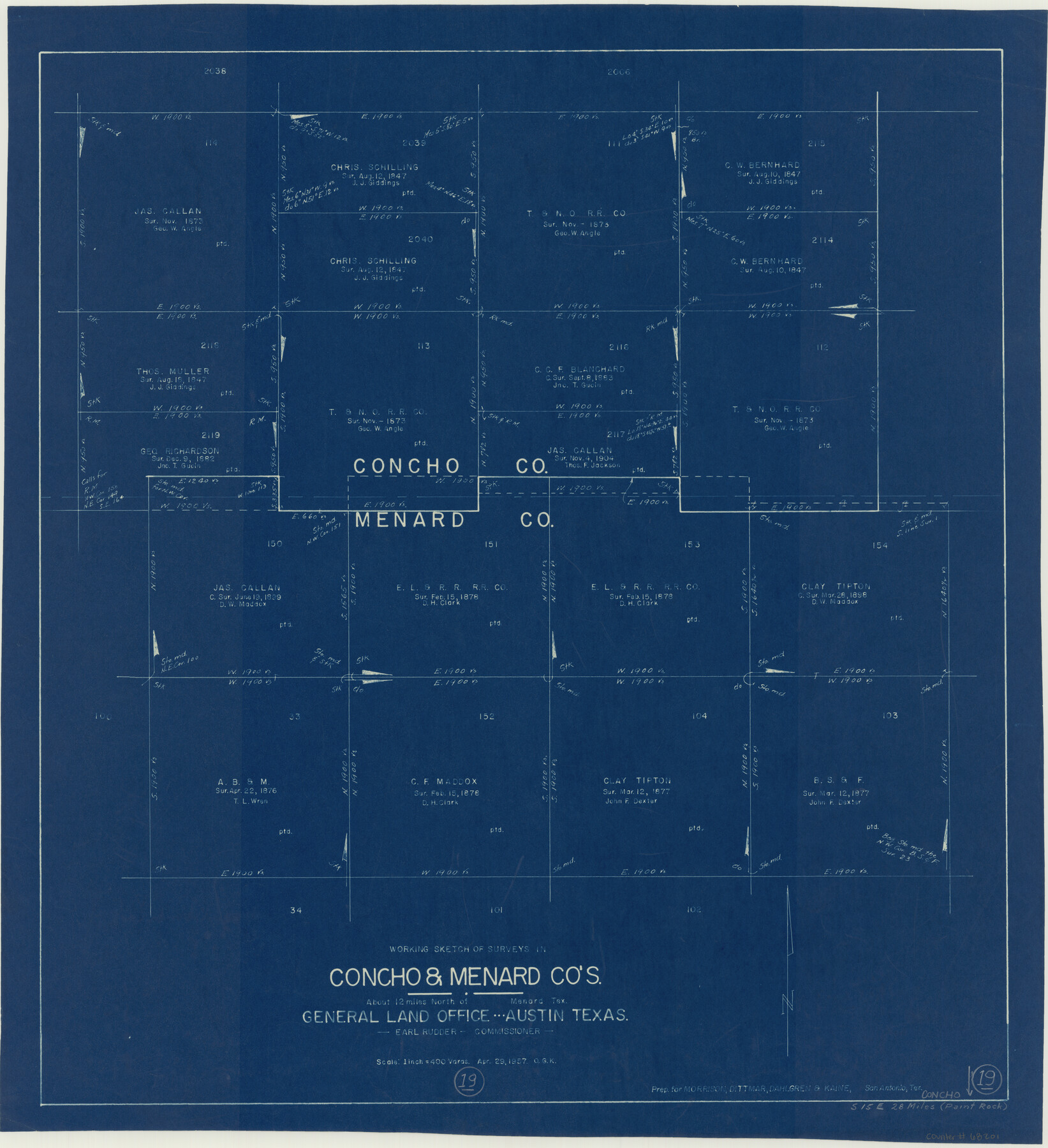
Concho County Working Sketch 19
-
Map/Doc
68201
-
Collection
General Map Collection
-
Object Dates
4/29/1957 (Creation Date)
-
People and Organizations
Otto G. Kurio (Draftsman)
-
Counties
Concho Menard
-
Subjects
Surveying Working Sketch
-
Height x Width
27.3 x 24.9 inches
69.3 x 63.3 cm
-
Scale
1" = 400 varas
Part of: General Map Collection
Angelina County Sketch File 5a

Print $4.00
- Digital $50.00
Angelina County Sketch File 5a
1857
Size 8.6 x 7.7 inches
Map/Doc 12931
Kent County Rolled Sketch 5

Print $20.00
- Digital $50.00
Kent County Rolled Sketch 5
1951
Size 43.7 x 36.9 inches
Map/Doc 78522
Coleman County

Print $40.00
- Digital $50.00
Coleman County
1945
Size 54.9 x 37.1 inches
Map/Doc 1803

Willacy County Boundary File 2

Print $16.00
- Digital $50.00
Willacy County Boundary File 2
Size 11.0 x 8.7 inches
Map/Doc 59967
Hamilton County Sketch File 1

Print $4.00
- Digital $50.00
Hamilton County Sketch File 1
Size 12.5 x 8.2 inches
Map/Doc 24897

Flight Mission No. BQR-20K, Frame 12, Brazoria County

Print $20.00
- Digital $50.00
Flight Mission No. BQR-20K, Frame 12, Brazoria County
1952
Size 18.6 x 22.4 inches
Map/Doc 84114
Guadalupe County Sketch File 8

Print $7.00
- Digital $50.00
Guadalupe County Sketch File 8
1871
Size 10.4 x 8.3 inches
Map/Doc 24674
Parker County Sketch File 22

Print $4.00
- Digital $50.00
Parker County Sketch File 22
Size 8.7 x 6.3 inches
Map/Doc 33562
Current Miscellaneous File 97

Print $16.00
- Digital $50.00
Current Miscellaneous File 97
1847
Size 11.3 x 8.8 inches
Map/Doc 74329
Falls County Sketch File 11a

Print $8.00
- Digital $50.00
Falls County Sketch File 11a
1871
Size 12.9 x 8.2 inches
Map/Doc 22358
You may also like
Flight Mission No. DQO-3K, Frame 86, Galveston County

Print $20.00
- Digital $50.00
Flight Mission No. DQO-3K, Frame 86, Galveston County
1952
Size 18.9 x 22.4 inches
Map/Doc 85091
Walker County State Real Property Sketch 1

Print $20.00
- Digital $50.00
Walker County State Real Property Sketch 1
2003
Size 35.8 x 30.3 inches
Map/Doc 78585
Lampasas County Boundary File 17

Print $27.00
- Digital $50.00
Lampasas County Boundary File 17
Size 7.2 x 8.8 inches
Map/Doc 56236
Harris County Working Sketch 95

Print $20.00
- Digital $50.00
Harris County Working Sketch 95
1978
Size 26.6 x 44.1 inches
Map/Doc 65987
Fannin County Sketch File 2

Print $4.00
- Digital $50.00
Fannin County Sketch File 2
1853
Size 12.4 x 7.9 inches
Map/Doc 22445
Duval County Sketch File 38

Print $64.00
- Digital $50.00
Duval County Sketch File 38
Size 38.2 x 19.5 inches
Map/Doc 10372
Scurry County Rolled Sketch 14

Print $20.00
- Digital $50.00
Scurry County Rolled Sketch 14
2016
Size 23.4 x 41.4 inches
Map/Doc 95404
Flight Mission No. DQN-2K, Frame 146, Calhoun County

Print $20.00
- Digital $50.00
Flight Mission No. DQN-2K, Frame 146, Calhoun County
1953
Size 18.9 x 22.5 inches
Map/Doc 84315
Cameron County Aerial Photograph Index Sheet 5

Print $20.00
- Digital $50.00
Cameron County Aerial Photograph Index Sheet 5
1940
Size 20.4 x 24.3 inches
Map/Doc 83681
Jack County Sketch File 10

Print $4.00
- Digital $50.00
Jack County Sketch File 10
1857
Size 12.4 x 8.3 inches
Map/Doc 27527
Crane County Working Sketch 1

Print $20.00
- Digital $50.00
Crane County Working Sketch 1
1906
Size 30.5 x 27.0 inches
Map/Doc 68278
Duval County Sketch File 65

Print $6.00
- Digital $50.00
Duval County Sketch File 65
1943
Size 14.4 x 9.1 inches
Map/Doc 21441