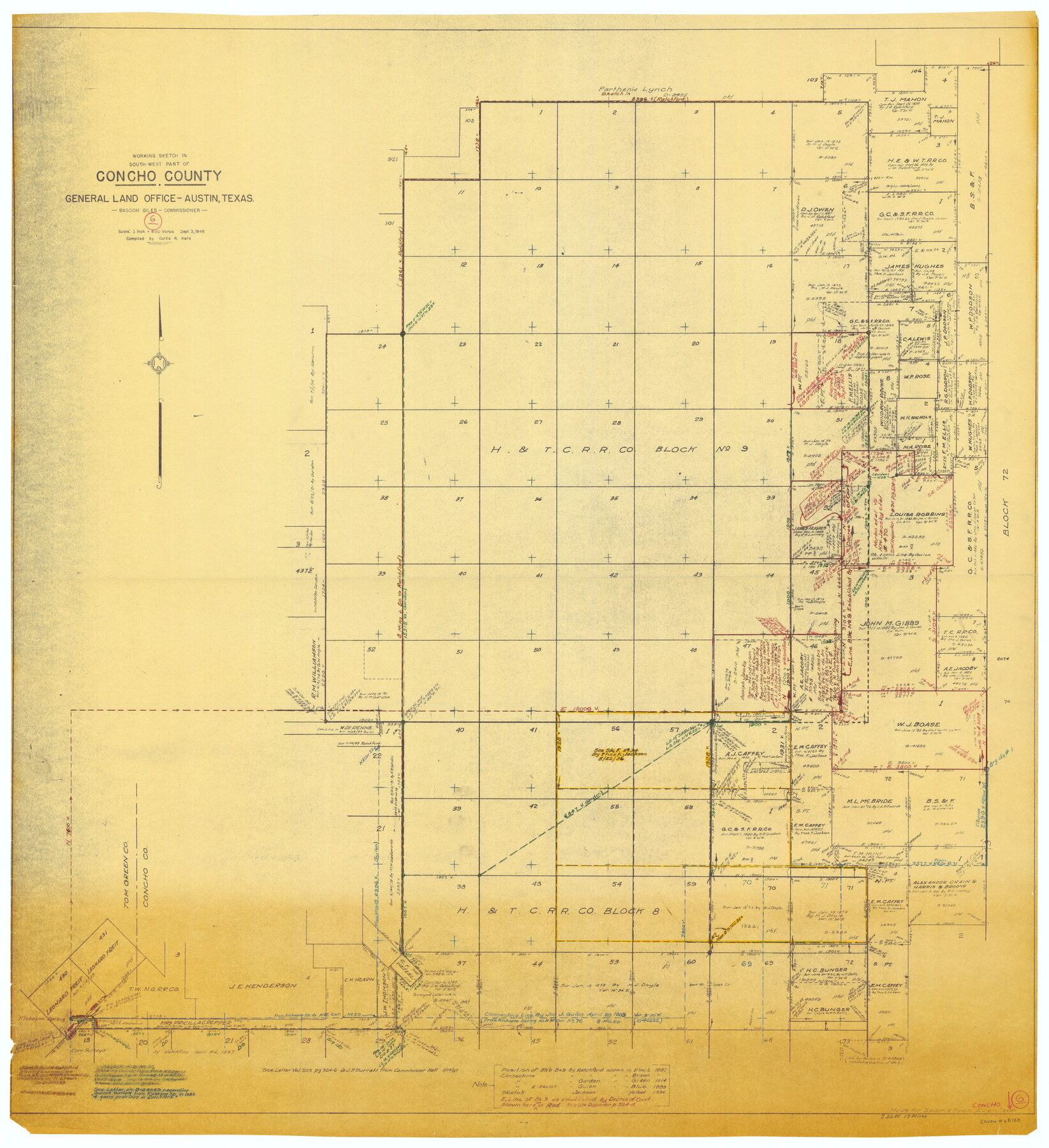
Concho County Working Sketch 6
-
Map/Doc
68188
-
Collection
General Map Collection
-
Object Dates
9/3/1948 (Creation Date)
-
People and Organizations
Curtis R. Hale (Compiler)
-
Counties
Concho
-
Subjects
Surveying Working Sketch
-
Height x Width
47.3 x 43.2 inches
120.1 x 109.7 cm
-
Scale
1" = 600 varas
Part of: General Map Collection
Sterling County

Print $20.00
- Digital $50.00
Sterling County
1971
Size 42.8 x 31.1 inches
Map/Doc 77427
Flight Mission No. BRA-6M, Frame 83, Jefferson County

Print $20.00
- Digital $50.00
Flight Mission No. BRA-6M, Frame 83, Jefferson County
1953
Size 18.6 x 22.3 inches
Map/Doc 85427
Runnels County Rolled Sketch 42

Print $20.00
- Digital $50.00
Runnels County Rolled Sketch 42
1951
Size 30.8 x 37.4 inches
Map/Doc 7530
Presidio County Rolled Sketch T-3

Print $20.00
- Digital $50.00
Presidio County Rolled Sketch T-3
Size 36.6 x 28.9 inches
Map/Doc 7417
Baylor County Working Sketch 6

Print $20.00
- Digital $50.00
Baylor County Working Sketch 6
1943
Size 27.5 x 41.0 inches
Map/Doc 67291
Terry County Sketch File 2

Print $8.00
- Digital $50.00
Terry County Sketch File 2
Size 8.9 x 11.4 inches
Map/Doc 38012
Flight Mission No. DQN-1K, Frame 106, Calhoun County

Print $20.00
- Digital $50.00
Flight Mission No. DQN-1K, Frame 106, Calhoun County
1953
Size 18.8 x 22.3 inches
Map/Doc 84173
Sectional Map No. 4 of the lands and of the lines of the Texas & Pacific R'Y. Co. in El Paso and part of Presidio Co's.

Print $20.00
- Digital $50.00
Sectional Map No. 4 of the lands and of the lines of the Texas & Pacific R'Y. Co. in El Paso and part of Presidio Co's.
1885
Size 22.3 x 17.0 inches
Map/Doc 2304
Leon County Sketch File 22

Print $24.00
- Digital $50.00
Leon County Sketch File 22
Size 12.8 x 8.8 inches
Map/Doc 29772
Randall County Boundary File 3

Print $8.00
- Digital $50.00
Randall County Boundary File 3
Size 14.3 x 8.8 inches
Map/Doc 58125
McMullen County Working Sketch 22

Print $40.00
- Digital $50.00
McMullen County Working Sketch 22
1947
Size 39.1 x 53.3 inches
Map/Doc 70723
Mitchell County Working Sketch 9

Print $20.00
- Digital $50.00
Mitchell County Working Sketch 9
1987
Size 25.8 x 41.1 inches
Map/Doc 71066
You may also like
Hamilton County Boundary File 1

Print $22.00
- Digital $50.00
Hamilton County Boundary File 1
Size 8.6 x 8.1 inches
Map/Doc 54183
Gaines County Rolled Sketch 9

Print $20.00
- Digital $50.00
Gaines County Rolled Sketch 9
Size 20.9 x 29.8 inches
Map/Doc 5929
Midland County Sketch File 17

Print $26.00
- Digital $50.00
Midland County Sketch File 17
1955
Size 11.2 x 8.7 inches
Map/Doc 31582
Topographical Map of the Rio Grande, Sheet No. 16

Print $20.00
- Digital $50.00
Topographical Map of the Rio Grande, Sheet No. 16
1912
Map/Doc 89540
Oso Creek, Cudahay Field (P-3) Sheet

Print $6.00
- Digital $50.00
Oso Creek, Cudahay Field (P-3) Sheet
1942
Size 30.6 x 33.8 inches
Map/Doc 65098
Jeff Davis County Sketch File 46

Print $8.00
- Digital $50.00
Jeff Davis County Sketch File 46
1906
Size 13.5 x 8.8 inches
Map/Doc 28080
Liberty County Sketch File 13

Print $12.00
- Digital $50.00
Liberty County Sketch File 13
1858
Size 8.3 x 7.9 inches
Map/Doc 29909
Crockett County Rolled Sketch 88A

Print $20.00
- Digital $50.00
Crockett County Rolled Sketch 88A
Size 29.9 x 18.6 inches
Map/Doc 5627
McMullen County

Print $40.00
- Digital $50.00
McMullen County
1918
Size 48.3 x 36.1 inches
Map/Doc 66923

Hemphill County Working Sketch 2

Print $20.00
- Digital $50.00
Hemphill County Working Sketch 2
1926
Size 29.0 x 31.1 inches
Map/Doc 66097
Sulphur River, Talco Sheet

Print $20.00
- Digital $50.00
Sulphur River, Talco Sheet
1917
Size 24.6 x 43.7 inches
Map/Doc 65160