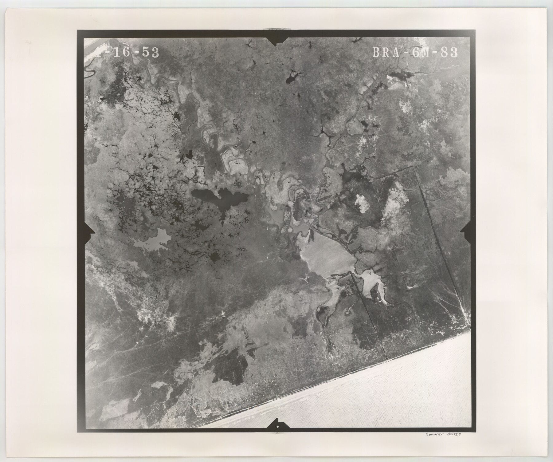
Flight Mission No. BRA-6M, Frame 83, Jefferson County
BRA-6M-83
-
Map/Doc
85427
-
Collection
General Map Collection
-
Object Dates
1953/4/16 (Creation Date)
-
People and Organizations
U. S. Department of Agriculture (Publisher)
-
Counties
Jefferson
-
Subjects
Aerial Photograph
-
Height x Width
18.6 x 22.3 inches
47.2 x 56.6 cm
-
Comments
Flown by Jack Ammann Photogrammetric Engineers of San Antonio, Texas.
Part of: General Map Collection
Gonzales County Working Sketch Graphic Index

Print $40.00
- Digital $50.00
Gonzales County Working Sketch Graphic Index
1986
Size 40.2 x 53.0 inches
Map/Doc 76556
Reagan County Working Sketch 17

Print $20.00
- Digital $50.00
Reagan County Working Sketch 17
1954
Size 21.0 x 11.7 inches
Map/Doc 71859
Sutton County Rolled Sketch 70

Print $40.00
- Digital $50.00
Sutton County Rolled Sketch 70
Size 48.7 x 37.0 inches
Map/Doc 9982
Bandera County Sketch File 31

Print $40.00
- Digital $50.00
Bandera County Sketch File 31
1949
Size 17.7 x 22.2 inches
Map/Doc 10900

South Part of Webb County

Print $40.00
- Digital $50.00
South Part of Webb County
1984
Size 44.1 x 64.9 inches
Map/Doc 95670
Hutchinson County Sketch File 31

Print $20.00
- Digital $50.00
Hutchinson County Sketch File 31
Size 19.9 x 15.2 inches
Map/Doc 11819
Henderson County Working Sketch 4

Print $20.00
- Digital $50.00
Henderson County Working Sketch 4
1918
Size 21.2 x 16.0 inches
Map/Doc 66137
Rockwall County Sketch File 1

Print $22.00
Rockwall County Sketch File 1
Size 14.5 x 16.1 inches
Map/Doc 35413

Hopkins County Rolled Sketch 28

Print $20.00
- Digital $50.00
Hopkins County Rolled Sketch 28
Size 25.3 x 19.9 inches
Map/Doc 6225
Medina County Working Sketch 4

Print $40.00
- Digital $50.00
Medina County Working Sketch 4
1945
Size 52.6 x 35.5 inches
Map/Doc 70919
You may also like
Mills County Working Sketch 27

Print $20.00
- Digital $50.00
Mills County Working Sketch 27
2000
Size 37.3 x 47.3 inches
Map/Doc 71057
Jim Hogg County Rolled Sketch 8

Print $20.00
- Digital $50.00
Jim Hogg County Rolled Sketch 8
1956
Size 32.1 x 38.2 inches
Map/Doc 9323
Kleberg County Sketch File 1

Print $36.00
- Digital $50.00
Kleberg County Sketch File 1
1994
Size 8.8 x 11.3 inches
Map/Doc 29192
Houston County

Print $40.00
- Digital $50.00
Houston County
1944
Size 52.4 x 52.2 inches
Map/Doc 95534
Hopkins County Boundary File 1

Print $26.00
- Digital $50.00
Hopkins County Boundary File 1
Size 12.3 x 7.9 inches
Map/Doc 55044
Loving County Working Sketch 2

Print $20.00
- Digital $50.00
Loving County Working Sketch 2
1937
Size 33.9 x 42.5 inches
Map/Doc 70634
Bastrop County Boundary File 5

Print $18.00
- Digital $50.00
Bastrop County Boundary File 5
Size 9.1 x 7.2 inches
Map/Doc 50328
Greater Fort Worth New City Map

Print $20.00
Greater Fort Worth New City Map
1925
Size 33.5 x 22.6 inches
Map/Doc 76286
Angelina County Sketch File 15f

Print $4.00
- Digital $50.00
Angelina County Sketch File 15f
Size 10.4 x 7.6 inches
Map/Doc 12994
Edwards County Sketch File 7

Print $26.00
- Digital $50.00
Edwards County Sketch File 7
1880
Size 8.0 x 7.9 inches
Map/Doc 21684
Fisher County Sketch File 24

Print $37.00
- Digital $50.00
Fisher County Sketch File 24
1875
Size 14.3 x 8.9 inches
Map/Doc 22666
Current Miscellaneous File 65

Print $8.00
- Digital $50.00
Current Miscellaneous File 65
Size 11.2 x 8.6 inches
Map/Doc 74109