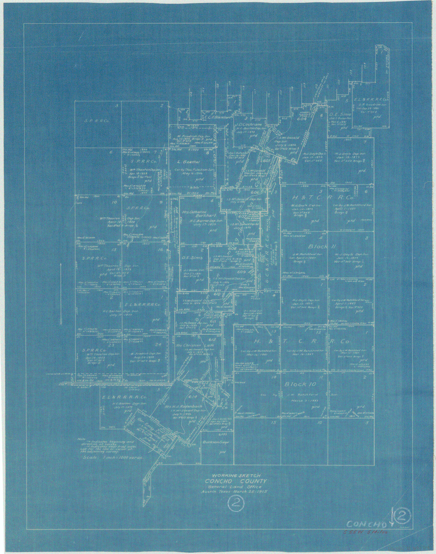
Concho County Working Sketch 2
-
Map/Doc
68184
-
Collection
General Map Collection
-
Object Dates
3/25/1915 (Creation Date)
-
Counties
Concho
-
Subjects
Surveying Working Sketch
-
Height x Width
22.4 x 17.6 inches
56.9 x 44.7 cm
-
Scale
1" = 1000 varas
Part of: General Map Collection
Mitchell County Sketch File 13

Print $20.00
- Digital $50.00
Mitchell County Sketch File 13
1925
Size 19.3 x 16.3 inches
Map/Doc 12100
Nueces County Rolled Sketch 27B

Print $108.00
- Digital $50.00
Nueces County Rolled Sketch 27B
1948
Size 9.8 x 15.1 inches
Map/Doc 47604
Aransas County Sketch File 15b

Print $10.00
- Digital $50.00
Aransas County Sketch File 15b
1891
Size 13.8 x 8.1 inches
Map/Doc 13143
Titus County Working Sketch Graphic Index

Print $20.00
- Digital $50.00
Titus County Working Sketch Graphic Index
1948
Size 40.2 x 29.0 inches
Map/Doc 76714
Kimble County

Print $40.00
- Digital $50.00
Kimble County
1930
Size 41.0 x 49.0 inches
Map/Doc 77340
Galveston County Rolled Sketch 15

Print $20.00
- Digital $50.00
Galveston County Rolled Sketch 15
Size 24.7 x 31.2 inches
Map/Doc 5954
Hemphill County Working Sketch 36

Print $40.00
- Digital $50.00
Hemphill County Working Sketch 36
1978
Size 38.3 x 51.7 inches
Map/Doc 66131
Motley County Sketch File 15 (N)

Print $20.00
- Digital $50.00
Motley County Sketch File 15 (N)
Size 20.6 x 26.0 inches
Map/Doc 42143
United States - Gulf Coast - From Latitude 26° 33' to the Rio Grande Texas

Print $20.00
- Digital $50.00
United States - Gulf Coast - From Latitude 26° 33' to the Rio Grande Texas
1919
Size 27.5 x 18.4 inches
Map/Doc 72854
Hudspeth County Sketch File 24

Print $20.00
- Digital $50.00
Hudspeth County Sketch File 24
1936
Size 17.8 x 16.7 inches
Map/Doc 11802
Map of Crockett County

Print $40.00
- Digital $50.00
Map of Crockett County
1878
Size 62.5 x 51.1 inches
Map/Doc 93372
Dickens County Rolled Sketch C

Print $20.00
- Digital $50.00
Dickens County Rolled Sketch C
1895
Size 20.5 x 25.5 inches
Map/Doc 5710
You may also like
Llano County Rolled Sketch 1

Print $20.00
- Digital $50.00
Llano County Rolled Sketch 1
1961
Size 43.9 x 30.3 inches
Map/Doc 9458
Montague County Working Sketch 28

Print $20.00
- Digital $50.00
Montague County Working Sketch 28
1963
Size 36.6 x 31.8 inches
Map/Doc 71094
Washington County

Print $20.00
- Digital $50.00
Washington County
1976
Size 31.7 x 46.5 inches
Map/Doc 73317
Victoria County Working Sketch 10

Print $20.00
- Digital $50.00
Victoria County Working Sketch 10
1964
Size 36.9 x 45.4 inches
Map/Doc 72280
Concho County Sketch File 40

Print $26.00
- Digital $50.00
Concho County Sketch File 40
1949
Size 11.3 x 8.7 inches
Map/Doc 19194
Hutchinson County Rolled Sketch 23

Print $20.00
- Digital $50.00
Hutchinson County Rolled Sketch 23
1913
Size 29.7 x 25.6 inches
Map/Doc 6288
Flight Mission No. BRE-1P, Frame 106, Nueces County

Print $20.00
- Digital $50.00
Flight Mission No. BRE-1P, Frame 106, Nueces County
1956
Size 18.6 x 22.6 inches
Map/Doc 86677
Sections 13 & 12, Block S

Print $20.00
- Digital $50.00
Sections 13 & 12, Block S
Size 23.0 x 18.2 inches
Map/Doc 92835
[Block V and surrounding surveys]
![90292, [Block V and surrounding surveys], Twichell Survey Records](https://historictexasmaps.com/wmedia_w700/maps/90292-1.tif.jpg)
Print $3.00
- Digital $50.00
[Block V and surrounding surveys]
Size 11.9 x 12.5 inches
Map/Doc 90292
Trinity County Sketch File 17

Print $4.00
- Digital $50.00
Trinity County Sketch File 17
Size 8.0 x 7.4 inches
Map/Doc 38546
General Highway Map, Jackson County, Texas

Print $20.00
General Highway Map, Jackson County, Texas
1961
Size 18.2 x 24.7 inches
Map/Doc 79533
A Comprehensive Atlas Geographical, Historical & Commercial

A Comprehensive Atlas Geographical, Historical & Commercial
Size 13.0 x 10.7 inches
Map/Doc 95959