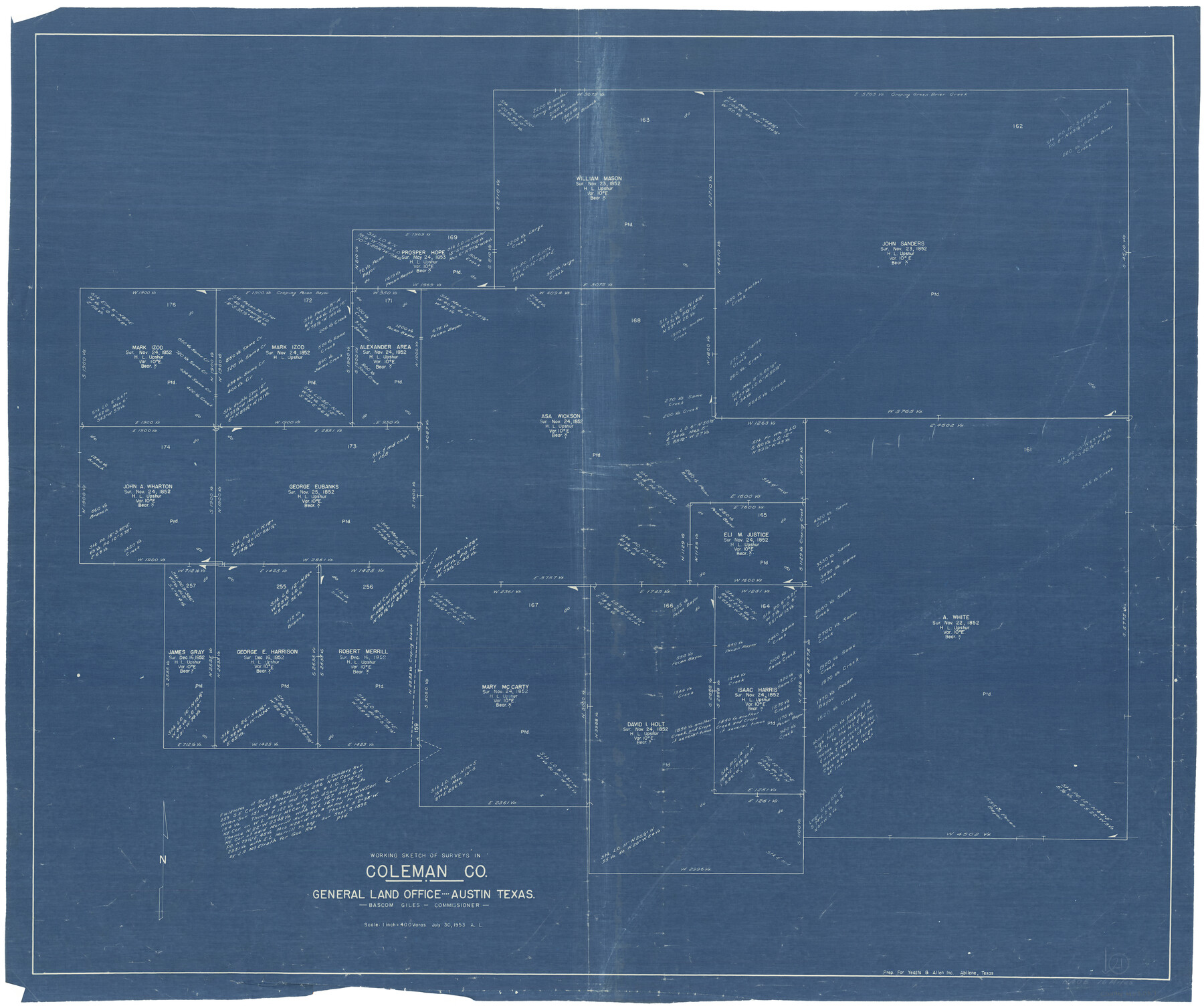
Coleman County Working Sketch 21
-
Map/Doc
68087
-
Collection
General Map Collection
-
Object Dates
7/30/1953 (Creation Date)
-
Counties
Coleman
-
Subjects
Surveying Working Sketch
-
Height x Width
34.8 x 41.6 inches
88.4 x 105.7 cm
-
Scale
1" = 400 varas
Part of: General Map Collection
Midland County Working Sketch 29

Print $40.00
- Digital $50.00
Midland County Working Sketch 29
1971
Size 49.4 x 35.6 inches
Map/Doc 71010
Harbor Pass and Bar at Brazos Santiago, Texas

Print $20.00
- Digital $50.00
Harbor Pass and Bar at Brazos Santiago, Texas
1871
Size 18.3 x 26.8 inches
Map/Doc 72982
Right of Way and Track Map, the Missouri, Kansas and Texas Ry. of Texas - Henrietta Division

Print $20.00
- Digital $50.00
Right of Way and Track Map, the Missouri, Kansas and Texas Ry. of Texas - Henrietta Division
1918
Size 11.8 x 27.0 inches
Map/Doc 64761
Marion County Working Sketch 44

Print $20.00
- Digital $50.00
Marion County Working Sketch 44
2002
Size 42.7 x 27.0 inches
Map/Doc 78215
Hemphill County Rolled Sketch 13

Print $20.00
- Digital $50.00
Hemphill County Rolled Sketch 13
1905
Size 20.7 x 28.9 inches
Map/Doc 6193
Rusk County Sketch File 40

Print $20.00
Rusk County Sketch File 40
1951
Size 23.2 x 26.6 inches
Map/Doc 12276
Karnes County Rolled Sketch 5

Print $20.00
- Digital $50.00
Karnes County Rolled Sketch 5
1980
Size 40.8 x 40.2 inches
Map/Doc 9668
Jones County Working Sketch 7

Print $20.00
- Digital $50.00
Jones County Working Sketch 7
1957
Size 30.8 x 12.7 inches
Map/Doc 66645
Guadalupe County

Print $20.00
- Digital $50.00
Guadalupe County
1880
Size 24.9 x 22.6 inches
Map/Doc 4553
Flight Mission No. DQN-6K, Frame 71, Calhoun County

Print $20.00
- Digital $50.00
Flight Mission No. DQN-6K, Frame 71, Calhoun County
1953
Size 18.5 x 22.2 inches
Map/Doc 84443
Burnet County Sketch File 3

Print $4.00
- Digital $50.00
Burnet County Sketch File 3
Size 12.3 x 8.1 inches
Map/Doc 16674
Childress County Sketch File 7

Print $20.00
- Digital $50.00
Childress County Sketch File 7
Size 14.9 x 17.6 inches
Map/Doc 11079
You may also like
Nolan County, Texas

Print $20.00
- Digital $50.00
Nolan County, Texas
1870
Size 23.9 x 19.5 inches
Map/Doc 744
Gray County Boundary File 3

Print $40.00
- Digital $50.00
Gray County Boundary File 3
Size 14.2 x 8.8 inches
Map/Doc 53854
Roberts County Working Sketch 2

Print $20.00
- Digital $50.00
Roberts County Working Sketch 2
1939
Size 10.8 x 17.7 inches
Map/Doc 63528
Map No. 1 - Surveys Located in 1881 as they appear on the ground

Print $20.00
- Digital $50.00
Map No. 1 - Surveys Located in 1881 as they appear on the ground
Size 29.6 x 18.8 inches
Map/Doc 91889
Starr County Sketch File 9

Print $22.00
- Digital $50.00
Starr County Sketch File 9
Size 9.1 x 7.9 inches
Map/Doc 36861
Frio County Working Sketch 7

Print $20.00
- Digital $50.00
Frio County Working Sketch 7
1942
Size 26.5 x 43.3 inches
Map/Doc 69281
Hardin County

Print $20.00
- Digital $50.00
Hardin County
1940
Size 47.4 x 42.4 inches
Map/Doc 73171
Sketch A Shewing the progress of the Survey in Section No. 1 From 1844 to 1852

Print $20.00
- Digital $50.00
Sketch A Shewing the progress of the Survey in Section No. 1 From 1844 to 1852
1852
Size 38.1 x 25.3 inches
Map/Doc 97200
Atascosa County Working Sketch 5

Print $3.00
- Digital $50.00
Atascosa County Working Sketch 5
1913
Size 10.9 x 11.3 inches
Map/Doc 67201
Scurry County Working Sketch 6

Print $20.00
- Digital $50.00
Scurry County Working Sketch 6
1950
Size 38.7 x 37.3 inches
Map/Doc 63835
Map of east part of West Bay & SW part of Galveston Bay, Galveston County showing subdivision for mineral development

Print $40.00
- Digital $50.00
Map of east part of West Bay & SW part of Galveston Bay, Galveston County showing subdivision for mineral development
Size 69.6 x 48.0 inches
Map/Doc 65804
Jasper County Sketch File 22

Print $4.00
- Digital $50.00
Jasper County Sketch File 22
1910
Size 8.8 x 7.7 inches
Map/Doc 27822