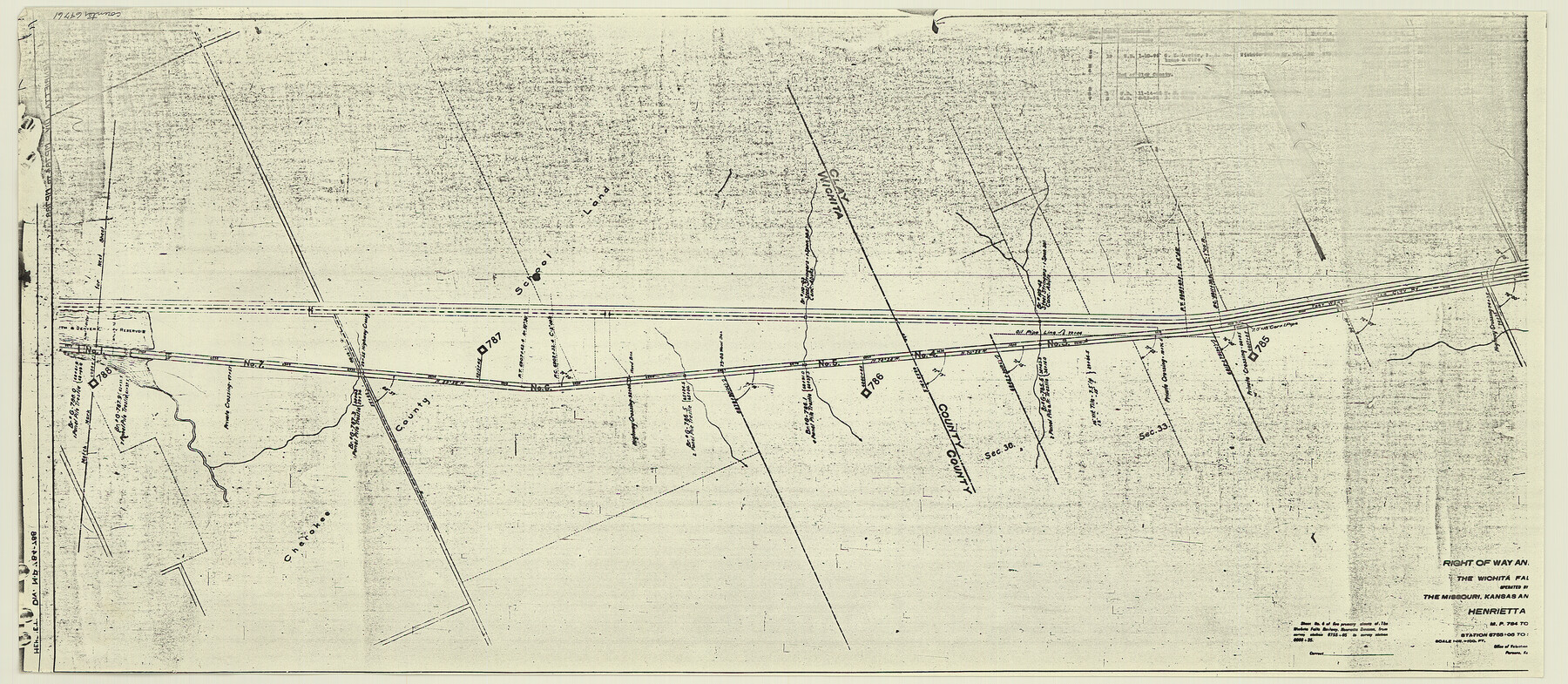
Right of Way and Track Map, the Missouri, Kansas and Texas Ry. of Texas - Henrietta Division
Z-2-204
-
Map/Doc
64761
-
Collection
General Map Collection
-
Object Dates
1918/6/30 (Creation Date)
-
Counties
Clay Wichita
-
Subjects
Railroads
-
Height x Width
11.8 x 27.0 inches
30.0 x 68.6 cm
-
Medium
paper, photocopy
-
Scale
1 in = 100 feet
-
Comments
See 64748 through 64767 for all segments of this map.
-
Features
MK&T
Ft. Worth and Denver City Reservoir
FW&DC
Part of: General Map Collection
King County Working Sketch 7

Print $20.00
- Digital $50.00
King County Working Sketch 7
1952
Size 34.7 x 24.9 inches
Map/Doc 70171
Harris County Working Sketch 116

Print $20.00
- Digital $50.00
Harris County Working Sketch 116
1983
Size 24.2 x 23.3 inches
Map/Doc 66008
Cameron County Rolled Sketch Z2

Print $20.00
- Digital $50.00
Cameron County Rolled Sketch Z2
1937
Size 23.7 x 40.9 inches
Map/Doc 5402
Flight Mission No. CRC-4R, Frame 113, Chambers County

Print $20.00
- Digital $50.00
Flight Mission No. CRC-4R, Frame 113, Chambers County
1956
Size 18.6 x 22.3 inches
Map/Doc 84910
Clay County Sketch File 11a

Print $22.00
- Digital $50.00
Clay County Sketch File 11a
1861
Size 18.3 x 11.9 inches
Map/Doc 11084
Wise County Working Sketch 15

Print $20.00
- Digital $50.00
Wise County Working Sketch 15
1979
Size 23.3 x 24.6 inches
Map/Doc 72629
Fayette County Sketch File 2

Print $4.00
- Digital $50.00
Fayette County Sketch File 2
1862
Size 10.3 x 8.4 inches
Map/Doc 22499
Williamson County Working Sketch 8

Print $20.00
- Digital $50.00
Williamson County Working Sketch 8
1950
Size 43.4 x 25.4 inches
Map/Doc 72568
Wilson County Boundary File 4

Print $26.00
- Digital $50.00
Wilson County Boundary File 4
Size 8.9 x 7.8 inches
Map/Doc 60096
Galveston Bay

Print $20.00
- Digital $50.00
Galveston Bay
1921
Size 43.4 x 35.4 inches
Map/Doc 69872
Gaines County Working Sketch 5

Print $20.00
- Digital $50.00
Gaines County Working Sketch 5
1940
Size 24.2 x 41.4 inches
Map/Doc 69305
Culberson County Sketch File 7

Print $8.00
- Digital $50.00
Culberson County Sketch File 7
1888
Size 14.5 x 8.8 inches
Map/Doc 20138
You may also like
Ft. W. & R. G. Ry. Right of Way Map, Chapin to Bluffdale, Hood County, Texas

Print $40.00
- Digital $50.00
Ft. W. & R. G. Ry. Right of Way Map, Chapin to Bluffdale, Hood County, Texas
1918
Size 36.5 x 50.5 inches
Map/Doc 64645
Tarrant County Sketch File 14

Print $7.00
- Digital $50.00
Tarrant County Sketch File 14
1859
Size 10.2 x 8.4 inches
Map/Doc 37705
[East Line & Red River Railroad from Sulphur Springs to Jefferson]
![64769, [East Line & Red River Railroad from Sulphur Springs to Jefferson], General Map Collection](https://historictexasmaps.com/wmedia_w700/maps/64769.tif.jpg)
Print $20.00
- Digital $50.00
[East Line & Red River Railroad from Sulphur Springs to Jefferson]
1879
Size 37.8 x 33.6 inches
Map/Doc 64769
Flight Mission No. CGN-3P, Frame 24, San Patricio County

Print $20.00
- Digital $50.00
Flight Mission No. CGN-3P, Frame 24, San Patricio County
1956
Size 18.5 x 22.3 inches
Map/Doc 86982
Carson County Boundary File 5b

Print $10.00
- Digital $50.00
Carson County Boundary File 5b
Size 11.7 x 8.6 inches
Map/Doc 51141
Travis County Sketch File 34

Print $26.00
- Digital $50.00
Travis County Sketch File 34
1888
Size 26.8 x 27.9 inches
Map/Doc 12461
Flight Mission No. DCL-5C, Frame 77, Kenedy County

Print $20.00
- Digital $50.00
Flight Mission No. DCL-5C, Frame 77, Kenedy County
1943
Size 18.5 x 22.4 inches
Map/Doc 85860
Flight Mission No. BRA-3M, Frame 118, Jefferson County

Print $20.00
- Digital $50.00
Flight Mission No. BRA-3M, Frame 118, Jefferson County
1953
Size 18.6 x 22.3 inches
Map/Doc 85392
Flight Mission No. DCL-7C, Frame 24, Kenedy County

Print $20.00
- Digital $50.00
Flight Mission No. DCL-7C, Frame 24, Kenedy County
1943
Size 15.5 x 15.4 inches
Map/Doc 86016
Orange County Rolled Sketch 26

Print $20.00
- Digital $50.00
Orange County Rolled Sketch 26
1952
Size 35.2 x 43.0 inches
Map/Doc 9649
[Northwest part of County]
![90616, [Northwest part of County], Twichell Survey Records](https://historictexasmaps.com/wmedia_w700/maps/90616-1.tif.jpg)
Print $20.00
- Digital $50.00
[Northwest part of County]
Size 17.4 x 22.5 inches
Map/Doc 90616
General Highway Map, Deaf Smith County, Texas

Print $20.00
General Highway Map, Deaf Smith County, Texas
1961
Size 24.5 x 18.1 inches
Map/Doc 79437