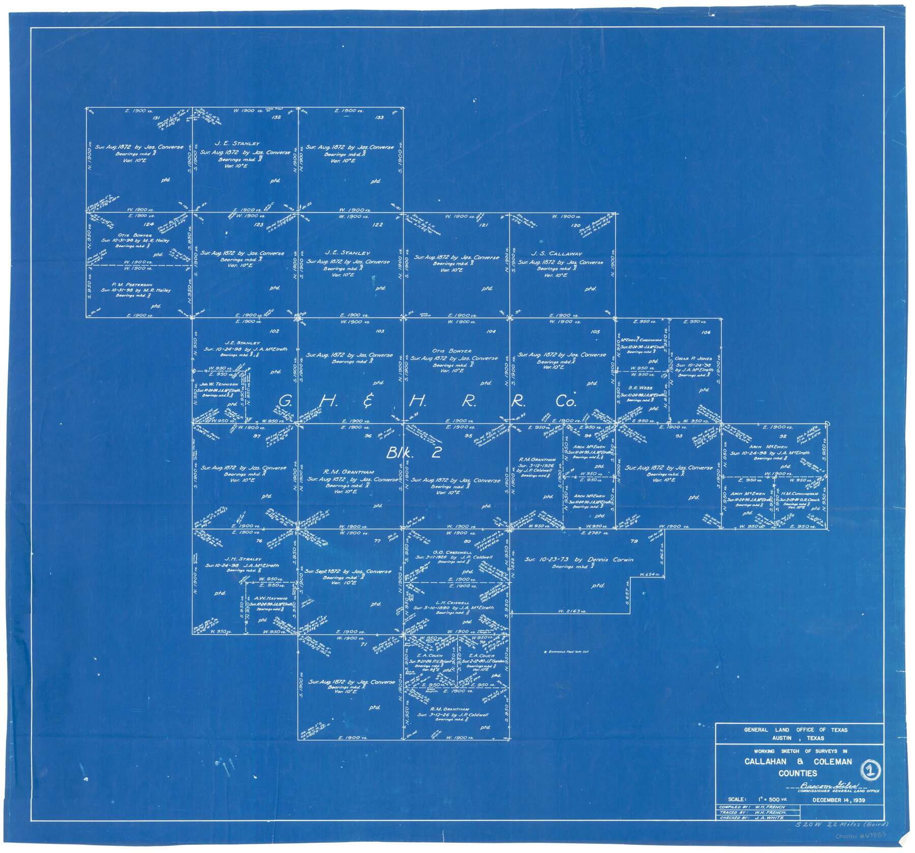
Callahan County Working Sketch 1
-
Map/Doc
67883
-
Collection
General Map Collection
-
Object Dates
12/14/1939 (Creation Date)
-
People and Organizations
W.H. French (Compiler)
-
Counties
Callahan Coleman
-
Subjects
Surveying Working Sketch
-
Height x Width
30.6 x 32.6 inches
77.7 x 82.8 cm
-
Scale
1" = 500 varas
Part of: General Map Collection
Carson County Sketch File 1

Print $20.00
- Digital $50.00
Carson County Sketch File 1
Size 16.8 x 18.5 inches
Map/Doc 11053

Descripçion de las Yndias del Norte

Print $20.00
- Digital $50.00
Descripçion de las Yndias del Norte
1601
Size 11.4 x 13.9 inches
Map/Doc 94850
Lynn County Sketch File 22

Print $2.00
- Digital $50.00
Lynn County Sketch File 22
1994
Size 11.1 x 8.8 inches
Map/Doc 30553
Liberty County Working Sketch 19

Print $20.00
- Digital $50.00
Liberty County Working Sketch 19
1940
Size 29.2 x 41.3 inches
Map/Doc 70478
Polk County Rolled Sketch TS

Print $40.00
- Digital $50.00
Polk County Rolled Sketch TS
1937
Size 37.9 x 58.9 inches
Map/Doc 9755

Pecos County Working Sketch 80

Print $20.00
- Digital $50.00
Pecos County Working Sketch 80
1960
Size 25.0 x 31.8 inches
Map/Doc 71552
Galveston County Sketch File 53

Print $119.00
- Digital $50.00
Galveston County Sketch File 53
1964
Size 14.3 x 8.8 inches
Map/Doc 23527
[Right of Way and Track Map, the Missouri, Kansas and Texas Ry. of Texas - Henrietta Division]
![64759, [Right of Way and Track Map, the Missouri, Kansas and Texas Ry. of Texas - Henrietta Division], General Map Collection](https://historictexasmaps.com/wmedia_w700/maps/64759.tif.jpg)
Print $20.00
- Digital $50.00
[Right of Way and Track Map, the Missouri, Kansas and Texas Ry. of Texas - Henrietta Division]
1918
Size 11.9 x 26.8 inches
Map/Doc 64759
Rio Grande Rectification Project, El Paso and Juarez Valley

Print $20.00
- Digital $50.00
Rio Grande Rectification Project, El Paso and Juarez Valley
1935
Size 10.8 x 29.6 inches
Map/Doc 60872
Flight Mission No. CUG-3P, Frame 161, Kleberg County

Print $20.00
- Digital $50.00
Flight Mission No. CUG-3P, Frame 161, Kleberg County
1956
Size 18.6 x 22.5 inches
Map/Doc 86281
You may also like
Dietzgen Globe Wooden 42" T Square

Dietzgen Globe Wooden 42" T Square
Size 44.5 x 13.8 inches
Map/Doc 97329
Marion County Working Sketch 14

Print $20.00
- Digital $50.00
Marion County Working Sketch 14
1956
Size 25.1 x 25.0 inches
Map/Doc 70790
Sketch from old map (authority unknown) showing a portion of the Rio Grande River and harbor of Brazos Santiago, Texas

Print $20.00
- Digital $50.00
Sketch from old map (authority unknown) showing a portion of the Rio Grande River and harbor of Brazos Santiago, Texas
1887
Size 18.1 x 24.3 inches
Map/Doc 73003
Aransas County Rolled Sketch 3

Print $20.00
- Digital $50.00
Aransas County Rolled Sketch 3
Size 20.9 x 26.5 inches
Map/Doc 77188

[Northwest part of County]
![90616, [Northwest part of County], Twichell Survey Records](https://historictexasmaps.com/wmedia_w700/maps/90616-1.tif.jpg)
Print $20.00
- Digital $50.00
[Northwest part of County]
Size 17.4 x 22.5 inches
Map/Doc 90616
Montgomery County Rolled Sketch 29

Print $20.00
- Digital $50.00
Montgomery County Rolled Sketch 29
1948
Size 36.4 x 31.7 inches
Map/Doc 9537
Liberty County Working Sketch 81

Print $20.00
- Digital $50.00
Liberty County Working Sketch 81
1981
Size 8.0 x 24.2 inches
Map/Doc 70541

Chambers County Working Sketch 19

Print $20.00
- Digital $50.00
Chambers County Working Sketch 19
1965
Size 23.5 x 25.8 inches
Map/Doc 68002
Lubbock County Boundary File 2

Print $6.00
- Digital $50.00
Lubbock County Boundary File 2
Size 11.2 x 8.8 inches
Map/Doc 56488
