[Right of Way and Track Map, the Missouri, Kansas and Texas Ry. of Texas - Henrietta Division]
Z-2-204
-
Map/Doc
64759
-
Collection
General Map Collection
-
Object Dates
1918/6/30 (Creation Date)
-
Counties
Clay
-
Subjects
Railroads
-
Height x Width
11.9 x 26.8 inches
30.2 x 68.1 cm
-
Medium
paper, photocopy
-
Comments
See 64748 through 64767 for all segments of this map.
-
Features
MK&T
Part of: General Map Collection
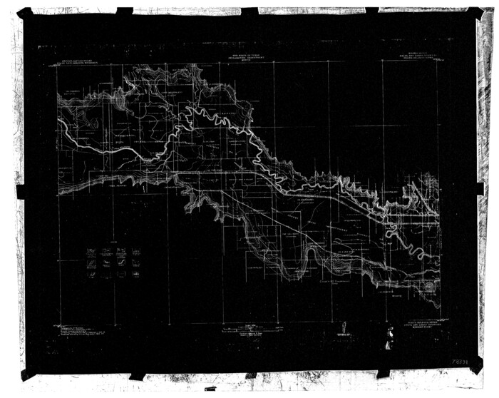
North Sulphur River, Kinsing Sheet

Print $20.00
- Digital $50.00
North Sulphur River, Kinsing Sheet
1925
Size 18.6 x 23.4 inches
Map/Doc 78331
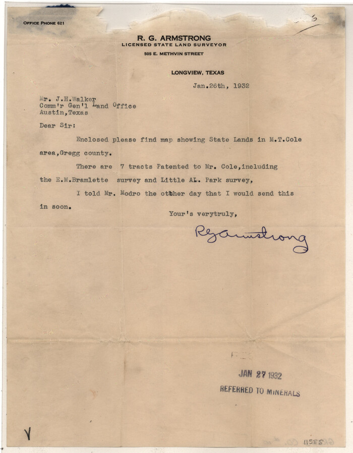
Gregg County Sketch File 10

Print $20.00
- Digital $50.00
Gregg County Sketch File 10
1932
Size 35.1 x 26.0 inches
Map/Doc 11588
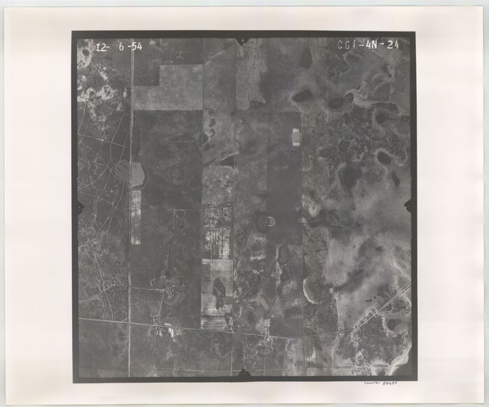
Flight Mission No. CGI-4N, Frame 24, Cameron County

Print $20.00
- Digital $50.00
Flight Mission No. CGI-4N, Frame 24, Cameron County
1954
Size 18.6 x 22.3 inches
Map/Doc 84657
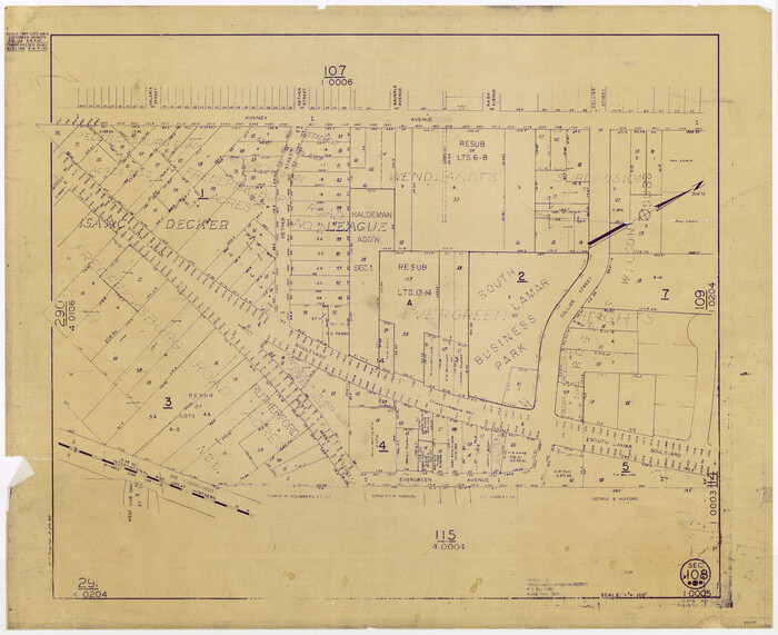
Travis County Appraisal District Plat Map 1_0005

Print $20.00
- Digital $50.00
Travis County Appraisal District Plat Map 1_0005
Size 21.5 x 26.4 inches
Map/Doc 94204
Milam County Rolled Sketch 1
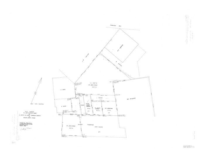

Print $20.00
- Digital $50.00
Milam County Rolled Sketch 1
1952
Size 31.2 x 40.3 inches
Map/Doc 6773
Harris County Historic Topographic 33
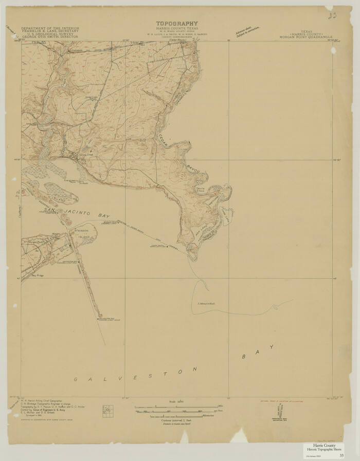

Print $20.00
- Digital $50.00
Harris County Historic Topographic 33
1916
Size 29.3 x 22.8 inches
Map/Doc 65844
Nueces County Sketch File 55


Print $16.00
- Digital $50.00
Nueces County Sketch File 55
1999
Size 11.3 x 8.8 inches
Map/Doc 32867
Robertson Co.
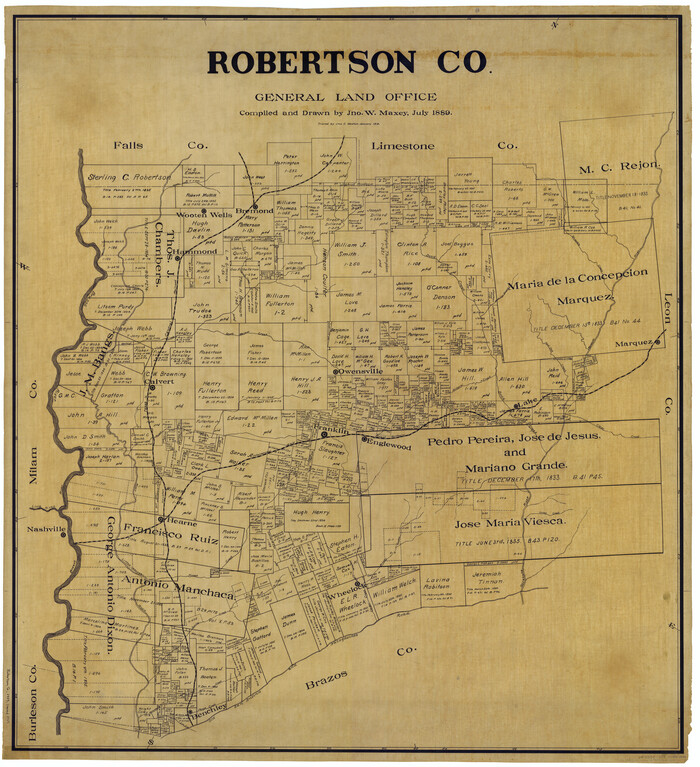

Print $20.00
- Digital $50.00
Robertson Co.
1889
Size 43.7 x 39.9 inches
Map/Doc 63003
Flight Mission No. DAG-17K, Frame 143, Matagorda County
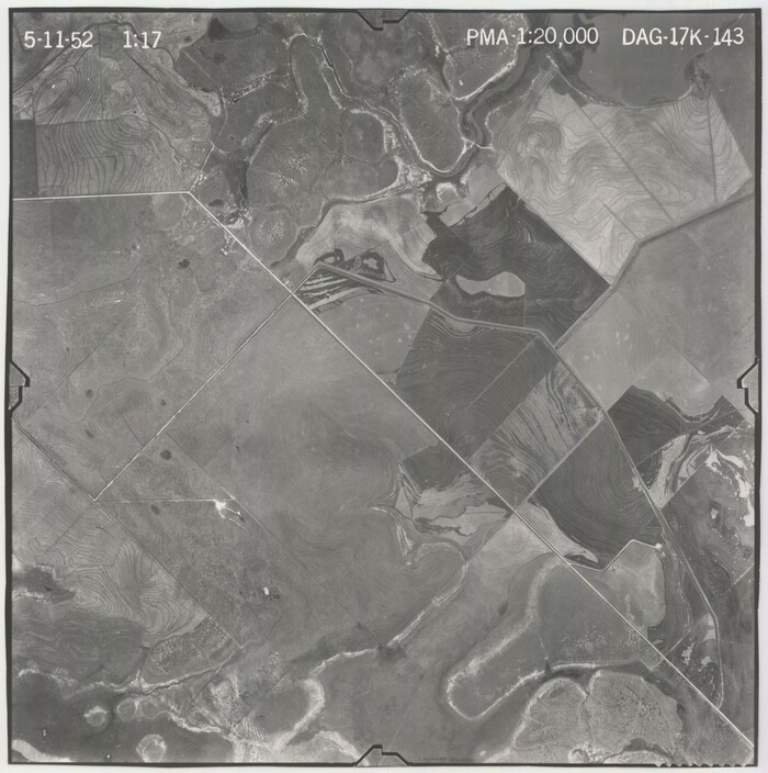

Print $20.00
- Digital $50.00
Flight Mission No. DAG-17K, Frame 143, Matagorda County
1952
Size 16.4 x 16.4 inches
Map/Doc 86360
Montgomery County Working Sketch 69


Print $20.00
- Digital $50.00
Montgomery County Working Sketch 69
1973
Size 27.3 x 37.7 inches
Map/Doc 71176
United States Mileage Chart / United States Mileage Table / Hawaii / Alaska
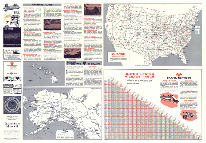

United States Mileage Chart / United States Mileage Table / Hawaii / Alaska
Size 26.5 x 38.1 inches
Map/Doc 96820
Flight Mission No. DAG-24K, Frame 47, Matagorda County


Print $20.00
- Digital $50.00
Flight Mission No. DAG-24K, Frame 47, Matagorda County
1953
Size 18.5 x 22.3 inches
Map/Doc 86534
You may also like
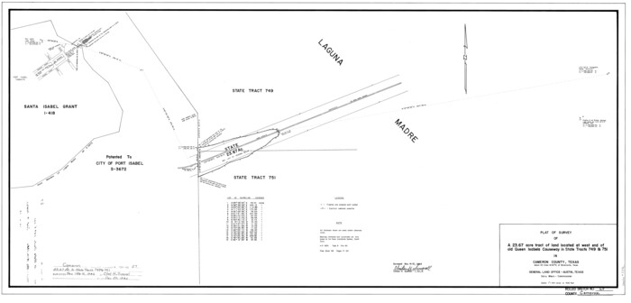
Cameron County Rolled Sketch 27

Print $20.00
- Digital $50.00
Cameron County Rolled Sketch 27
Size 19.0 x 39.5 inches
Map/Doc 5392
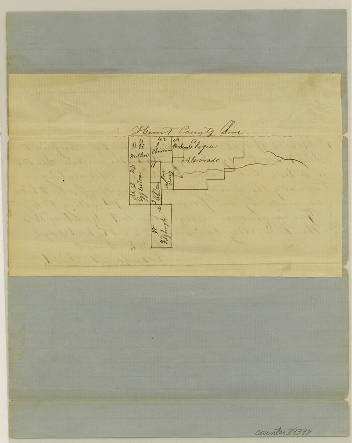
Van Zandt County Sketch File 11

Print $4.00
- Digital $50.00
Van Zandt County Sketch File 11
1858
Size 10.2 x 8.1 inches
Map/Doc 39397
[Potter County Blocks 25, P&Mc, O18, G&M2]
![93215, [Potter County Blocks 25, P&Mc, O18, G&M2], Twichell Survey Records](https://historictexasmaps.com/wmedia_w700/maps/93215-1.tif.jpg)
![93215, [Potter County Blocks 25, P&Mc, O18, G&M2], Twichell Survey Records](https://historictexasmaps.com/wmedia_w700/maps/93215-1.tif.jpg)
Print $20.00
- Digital $50.00
[Potter County Blocks 25, P&Mc, O18, G&M2]
Size 28.7 x 19.2 inches
Map/Doc 93215
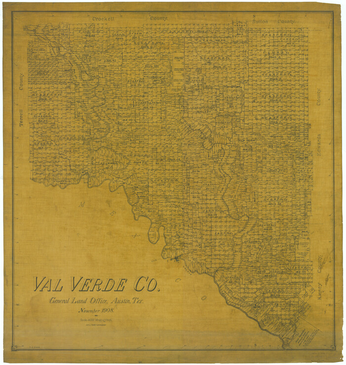
Val Verde Co.

Print $20.00
- Digital $50.00
Val Verde Co.
1908
Size 40.5 x 38.4 inches
Map/Doc 63099
[Sketch for Mineral Application 20124, North Fork of Red River]
![77087, [Sketch for Mineral Application 20124, North Fork of Red River], General Map Collection](https://historictexasmaps.com/skins/default/img/placeholder/w700.png)
![77087, [Sketch for Mineral Application 20124, North Fork of Red River], General Map Collection](https://historictexasmaps.com/skins/default/img/placeholder/w700.png)
Print $40.00
- Digital $50.00
[Sketch for Mineral Application 20124, North Fork of Red River]
Size 50.8 x 43.5 inches
Map/Doc 77087
Refugio County Boundary File 1 (2)

Print $6.00
- Digital $50.00
Refugio County Boundary File 1 (2)
Size 12.6 x 8.7 inches
Map/Doc 58228
[Map of Counties South of Panhandle from Parmer to Childress in North to Andrews to Eastland in the South]
![92098, [Map of Counties South of Panhandle from Parmer to Childress in North to Andrews to Eastland in the South], Twichell Survey Records](https://historictexasmaps.com/wmedia_w700/maps/92098-2.tif.jpg)
![92098, [Map of Counties South of Panhandle from Parmer to Childress in North to Andrews to Eastland in the South], Twichell Survey Records](https://historictexasmaps.com/wmedia_w700/maps/92098-2.tif.jpg)
Print $3.00
- Digital $50.00
[Map of Counties South of Panhandle from Parmer to Childress in North to Andrews to Eastland in the South]
Size 14.9 x 10.7 inches
Map/Doc 92098
Victoria County Working Sketch 9

Print $40.00
- Digital $50.00
Victoria County Working Sketch 9
1963
Size 49.9 x 35.8 inches
Map/Doc 72279
Map of Dimmit County


Print $20.00
- Digital $50.00
Map of Dimmit County
1875
Size 21.9 x 24.0 inches
Map/Doc 3489
Edwards County Working Sketch 56

Print $20.00
- Digital $50.00
Edwards County Working Sketch 56
1952
Size 23.6 x 35.7 inches
Map/Doc 68932
Harrison County Working Sketch 27

Print $20.00
- Digital $50.00
Harrison County Working Sketch 27
1988
Size 29.2 x 36.9 inches
Map/Doc 66047
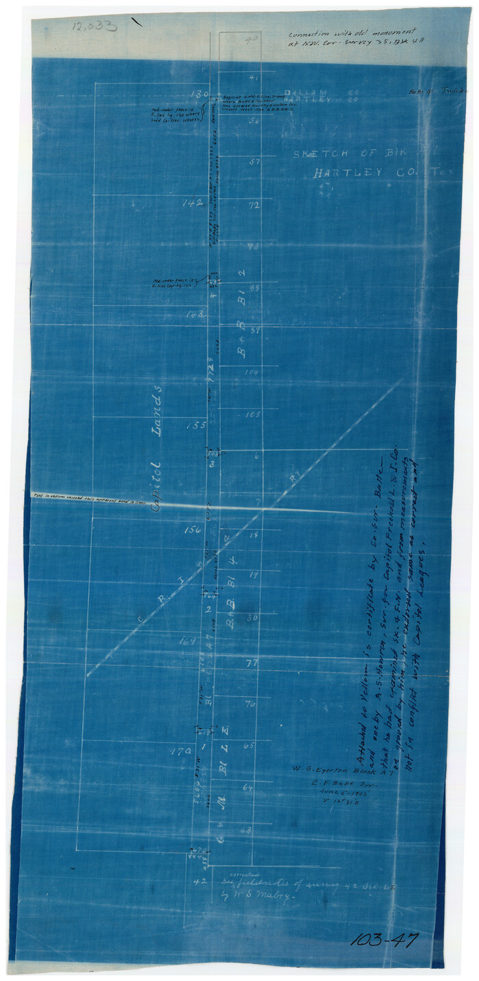
Sketch of Block A7, Hartley County, Texas

Print $20.00
- Digital $50.00
Sketch of Block A7, Hartley County, Texas
1905
Size 10.2 x 22.1 inches
Map/Doc 90756
![64759, [Right of Way and Track Map, the Missouri, Kansas and Texas Ry. of Texas - Henrietta Division], General Map Collection](https://historictexasmaps.com/wmedia_w1800h1800/maps/64759.tif.jpg)