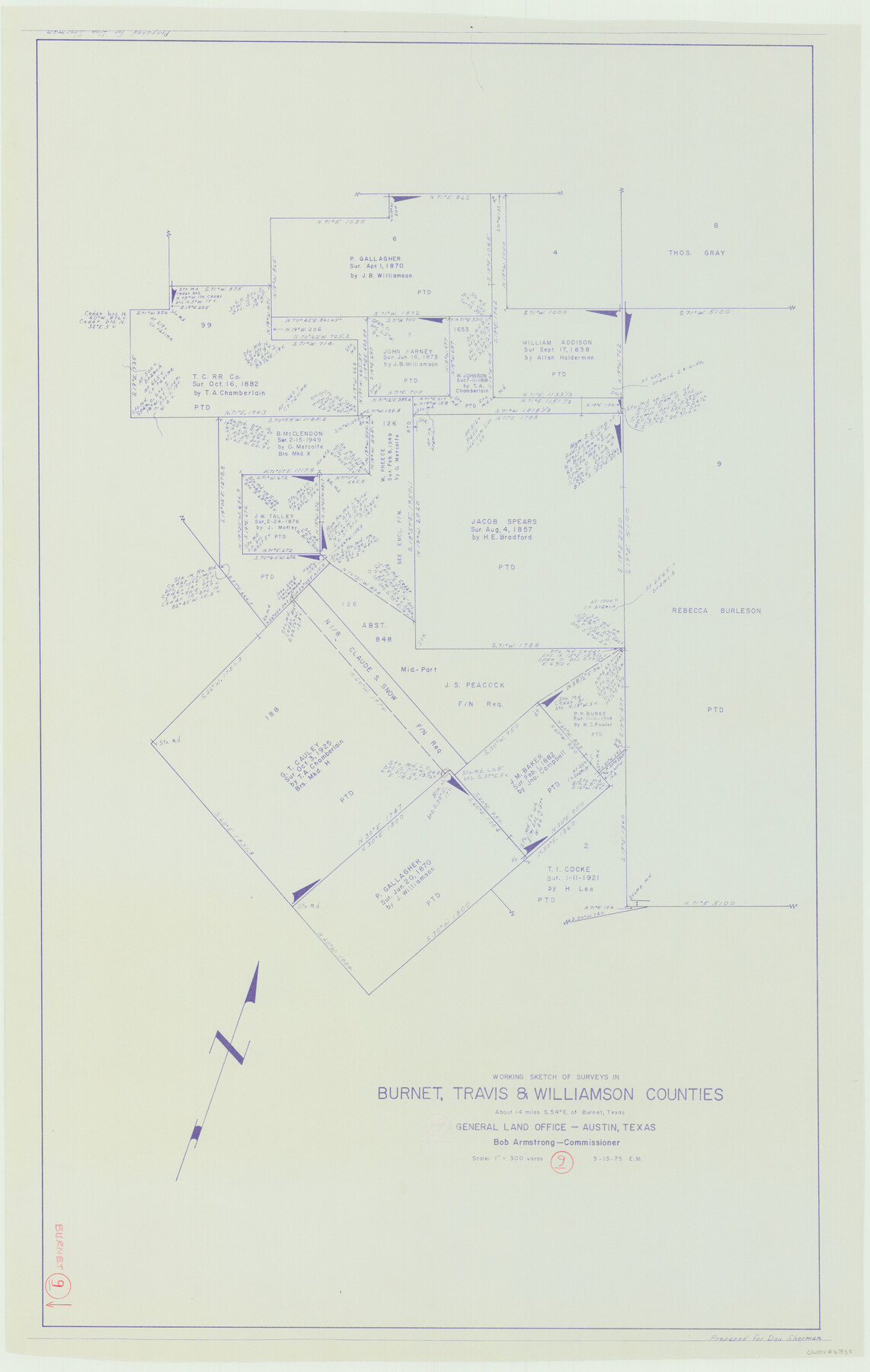
Burnet County Working Sketch 9
-
Map/Doc
67852
-
Collection
General Map Collection
-
Object Dates
3/13/1975 (Creation Date)
-
Counties
Burnet Travis Williamson
-
Subjects
Surveying Working Sketch
-
Height x Width
39.7 x 25.2 inches
100.8 x 64.0 cm
-
Scale
1" = 300 varas
Part of: General Map Collection
Robertson County Sketch File 5 1/2

Print $2.00
- Digital $50.00
Robertson County Sketch File 5 1/2
Size 8.1 x 4.2 inches
Map/Doc 35361
Motley County Sketch File 38 (N)

Print $106.00
- Digital $50.00
Motley County Sketch File 38 (N)
1910
Size 14.4 x 8.8 inches
Map/Doc 32086
Flight Mission No. CRE-2R, Frame 82, Jackson County

Print $20.00
- Digital $50.00
Flight Mission No. CRE-2R, Frame 82, Jackson County
1956
Size 16.0 x 15.9 inches
Map/Doc 85354
[Ft. W. & R. G. Ry. Right of Way Map, Chapin to Bluffdale, Hood County, Texas]
![64643, [Ft. W. & R. G. Ry. Right of Way Map, Chapin to Bluffdale, Hood County, Texas], General Map Collection](https://historictexasmaps.com/wmedia_w700/maps/64643.tif.jpg)
Print $40.00
- Digital $50.00
[Ft. W. & R. G. Ry. Right of Way Map, Chapin to Bluffdale, Hood County, Texas]
1918
Size 38.8 x 120.3 inches
Map/Doc 64643
Flight Mission No. BQR-4K, Frame 66, Brazoria County

Print $20.00
- Digital $50.00
Flight Mission No. BQR-4K, Frame 66, Brazoria County
1952
Size 18.8 x 22.5 inches
Map/Doc 83999
Cochran County Rolled Sketch 1

Print $40.00
- Digital $50.00
Cochran County Rolled Sketch 1
1938
Size 61.8 x 18.0 inches
Map/Doc 8606
Shelby County Sketch File 9

Print $4.00
- Digital $50.00
Shelby County Sketch File 9
1858
Size 9.4 x 8.2 inches
Map/Doc 36609
Angelina County Working Sketch 32a

Print $20.00
- Digital $50.00
Angelina County Working Sketch 32a
1955
Size 22.0 x 36.7 inches
Map/Doc 67114
Hardin County Working Sketch 20

Print $20.00
- Digital $50.00
Hardin County Working Sketch 20
1947
Size 38.1 x 32.6 inches
Map/Doc 63418
Kaufman County Sketch File 19

Print $30.00
- Digital $50.00
Kaufman County Sketch File 19
1922
Size 11.2 x 8.7 inches
Map/Doc 28666
Nueces County Rolled Sketch 75

Print $40.00
- Digital $50.00
Nueces County Rolled Sketch 75
1945
Size 56.0 x 24.0 inches
Map/Doc 9618
Flight Mission No. DCL-6C, Frame 130, Kenedy County

Print $20.00
- Digital $50.00
Flight Mission No. DCL-6C, Frame 130, Kenedy County
1943
Size 18.6 x 22.3 inches
Map/Doc 85960
You may also like
Plat of Resurvey of Sections 4, 9, 10 and 23, T. 5S., R. 13W., of the Indian Meridian, Oklahoma

Print $4.00
- Digital $50.00
Plat of Resurvey of Sections 4, 9, 10 and 23, T. 5S., R. 13W., of the Indian Meridian, Oklahoma
1917
Size 18.0 x 22.6 inches
Map/Doc 75143
Duval County Sketch File 22

Print $20.00
- Digital $50.00
Duval County Sketch File 22
1880
Size 31.9 x 23.2 inches
Map/Doc 11386
Flight Mission No. BQR-14K, Frame 38, Brazoria County

Print $20.00
- Digital $50.00
Flight Mission No. BQR-14K, Frame 38, Brazoria County
1952
Size 18.8 x 22.3 inches
Map/Doc 84095
Wilson County Sketch File 8

Print $8.00
- Digital $50.00
Wilson County Sketch File 8
1879
Size 10.4 x 8.2 inches
Map/Doc 40413
Flight Mission No. BRA-9M, Frame 75, Jefferson County

Print $20.00
- Digital $50.00
Flight Mission No. BRA-9M, Frame 75, Jefferson County
1953
Size 18.6 x 22.5 inches
Map/Doc 85658
Bailey County

Print $40.00
- Digital $50.00
Bailey County
1956
Size 49.4 x 31.4 inches
Map/Doc 95423
[Lgs. 209-212, 182, 183, 195-200 with notes]
![90159, [Lgs. 209-212, 182, 183, 195-200 with notes], Twichell Survey Records](https://historictexasmaps.com/wmedia_w700/maps/90159-1.tif.jpg)
Print $20.00
- Digital $50.00
[Lgs. 209-212, 182, 183, 195-200 with notes]
Size 18.7 x 15.6 inches
Map/Doc 90159
General Highway Map, Wilbarger County, Texas

Print $20.00
General Highway Map, Wilbarger County, Texas
1940
Size 24.7 x 18.1 inches
Map/Doc 79278
United States - Gulf Coast - Padre I. and Laguna Madre Lat. 27° 12' to Lat. 26° 33' Texas

Print $20.00
- Digital $50.00
United States - Gulf Coast - Padre I. and Laguna Madre Lat. 27° 12' to Lat. 26° 33' Texas
1913
Size 27.1 x 18.3 inches
Map/Doc 72818
Kerr County Sketch File 15

Print $20.00
- Digital $50.00
Kerr County Sketch File 15
Size 23.7 x 16.8 inches
Map/Doc 11919
Flight Mission No. CLL-4N, Frame 39, Willacy County

Print $20.00
- Digital $50.00
Flight Mission No. CLL-4N, Frame 39, Willacy County
1954
Size 18.3 x 22.0 inches
Map/Doc 87112
Cooke County Sketch File 26

Print $4.00
- Digital $50.00
Cooke County Sketch File 26
1872
Size 5.9 x 8.2 inches
Map/Doc 19277