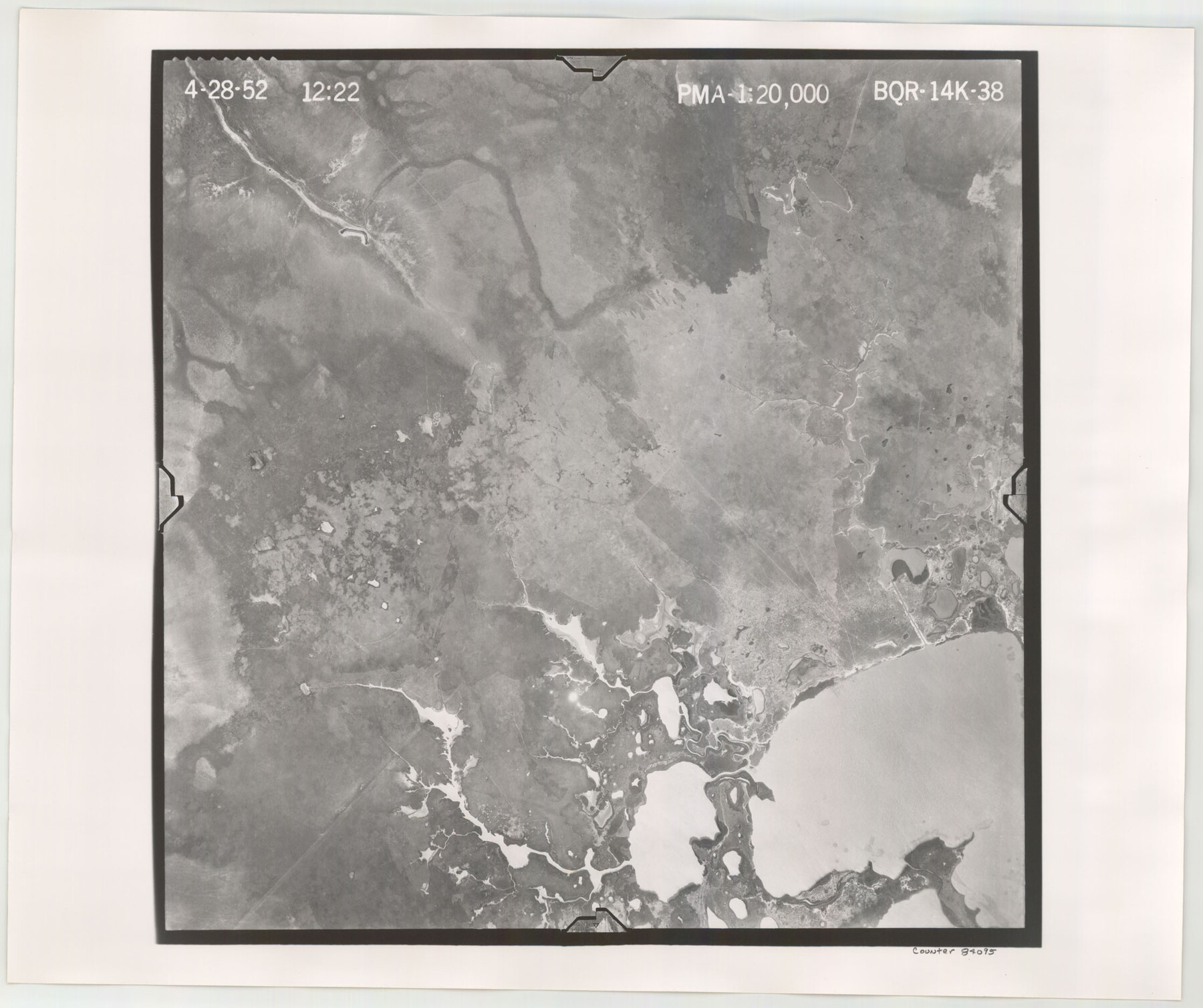
Flight Mission No. BQR-14K, Frame 38, Brazoria County
BQR-14K-38
-
Map/Doc
84095
-
Collection
General Map Collection
-
Object Dates
1952/4/28 (Creation Date)
-
People and Organizations
U. S. Department of Agriculture (Publisher)
-
Counties
Brazoria
-
Subjects
Aerial Photograph
-
Height x Width
18.8 x 22.3 inches
47.8 x 56.6 cm
-
Comments
Flown by Aero Exploration Company of Tulsa, Oklahoma.
Part of: General Map Collection
Maps of Gulf Intracoastal Waterway, Texas - Sabine River to the Rio Grande and connecting waterways including ship channels

Print $20.00
- Digital $50.00
Maps of Gulf Intracoastal Waterway, Texas - Sabine River to the Rio Grande and connecting waterways including ship channels
1966
Size 14.6 x 21.7 inches
Map/Doc 61981
Il Cuscho Citta Principale Della Provincia del Peru

Print $20.00
- Digital $50.00
Il Cuscho Citta Principale Della Provincia del Peru
1592
Size 12.3 x 15.4 inches
Map/Doc 97026
Flight Mission No. CRC-2R, Frame 64, Chambers County

Print $20.00
- Digital $50.00
Flight Mission No. CRC-2R, Frame 64, Chambers County
1956
Size 18.7 x 22.5 inches
Map/Doc 84735
Travis County Rolled Sketch 54

Print $20.00
- Digital $50.00
Travis County Rolled Sketch 54
Size 25.2 x 36.7 inches
Map/Doc 8046
[Texas & Pacific Railway through Callahan County]
![64234, [Texas & Pacific Railway through Callahan County], General Map Collection](https://historictexasmaps.com/wmedia_w700/maps/64234.tif.jpg)
Print $20.00
- Digital $50.00
[Texas & Pacific Railway through Callahan County]
1918
Size 21.3 x 8.8 inches
Map/Doc 64234
Orange County Sketch File 36

Print $22.00
- Digital $50.00
Orange County Sketch File 36
Size 27.7 x 8.8 inches
Map/Doc 33372
Grayson County Working Sketch 14

Print $20.00
- Digital $50.00
Grayson County Working Sketch 14
1952
Size 23.9 x 23.3 inches
Map/Doc 63253
Brazoria County Sketch File 17

Print $24.00
- Digital $50.00
Brazoria County Sketch File 17
1914
Size 11.1 x 8.8 inches
Map/Doc 14988
Harris County Rolled Sketch 74

Print $20.00
- Digital $50.00
Harris County Rolled Sketch 74
Size 19.1 x 33.3 inches
Map/Doc 6112
Anderson County Working Sketch 24

Print $20.00
- Digital $50.00
Anderson County Working Sketch 24
1917
Size 16.6 x 15.3 inches
Map/Doc 67024
Crockett County Working Sketch 42

Print $20.00
- Digital $50.00
Crockett County Working Sketch 42
1930
Size 25.8 x 28.0 inches
Map/Doc 68375
Webb County Sketch File 1a

Print $20.00
- Digital $50.00
Webb County Sketch File 1a
1871
Size 23.3 x 18.0 inches
Map/Doc 12623
You may also like
Flight Mission No. CLL-1N, Frame 108, Willacy County

Print $20.00
- Digital $50.00
Flight Mission No. CLL-1N, Frame 108, Willacy County
1954
Size 18.3 x 22.0 inches
Map/Doc 87042
Anderson County Working Sketch 13

Print $20.00
- Digital $50.00
Anderson County Working Sketch 13
1930
Size 34.0 x 21.9 inches
Map/Doc 67013
Flight Mission No. CGI-2N, Frame 178, Cameron County

Print $20.00
- Digital $50.00
Flight Mission No. CGI-2N, Frame 178, Cameron County
1954
Size 18.5 x 22.1 inches
Map/Doc 84538
Flight Mission No. CGI-3N, Frame 162, Cameron County

Print $20.00
- Digital $50.00
Flight Mission No. CGI-3N, Frame 162, Cameron County
1954
Size 18.6 x 22.3 inches
Map/Doc 84626
Flight Mission No. BRA-16M, Frame 58, Jefferson County

Print $20.00
- Digital $50.00
Flight Mission No. BRA-16M, Frame 58, Jefferson County
1953
Size 18.4 x 22.5 inches
Map/Doc 85675
Sutton County Sketch File 59

Print $20.00
- Digital $50.00
Sutton County Sketch File 59
Size 24.6 x 16.5 inches
Map/Doc 12394
San Patricio County Sketch File 22

Print $20.00
San Patricio County Sketch File 22
1918
Size 22.2 x 16.9 inches
Map/Doc 12285
Montague County Sketch File 2

Print $24.00
- Digital $50.00
Montague County Sketch File 2
1856
Size 12.0 x 8.5 inches
Map/Doc 31711
Palo Pinto County Working Sketch 27

Print $20.00
- Digital $50.00
Palo Pinto County Working Sketch 27
2006
Map/Doc 83609
Irion County Boundary File 4

Print $23.00
- Digital $50.00
Irion County Boundary File 4
Size 11.2 x 8.8 inches
Map/Doc 55350
Hudspeth County Working Sketch 52

Print $20.00
- Digital $50.00
Hudspeth County Working Sketch 52
1985
Size 29.8 x 36.6 inches
Map/Doc 66337
