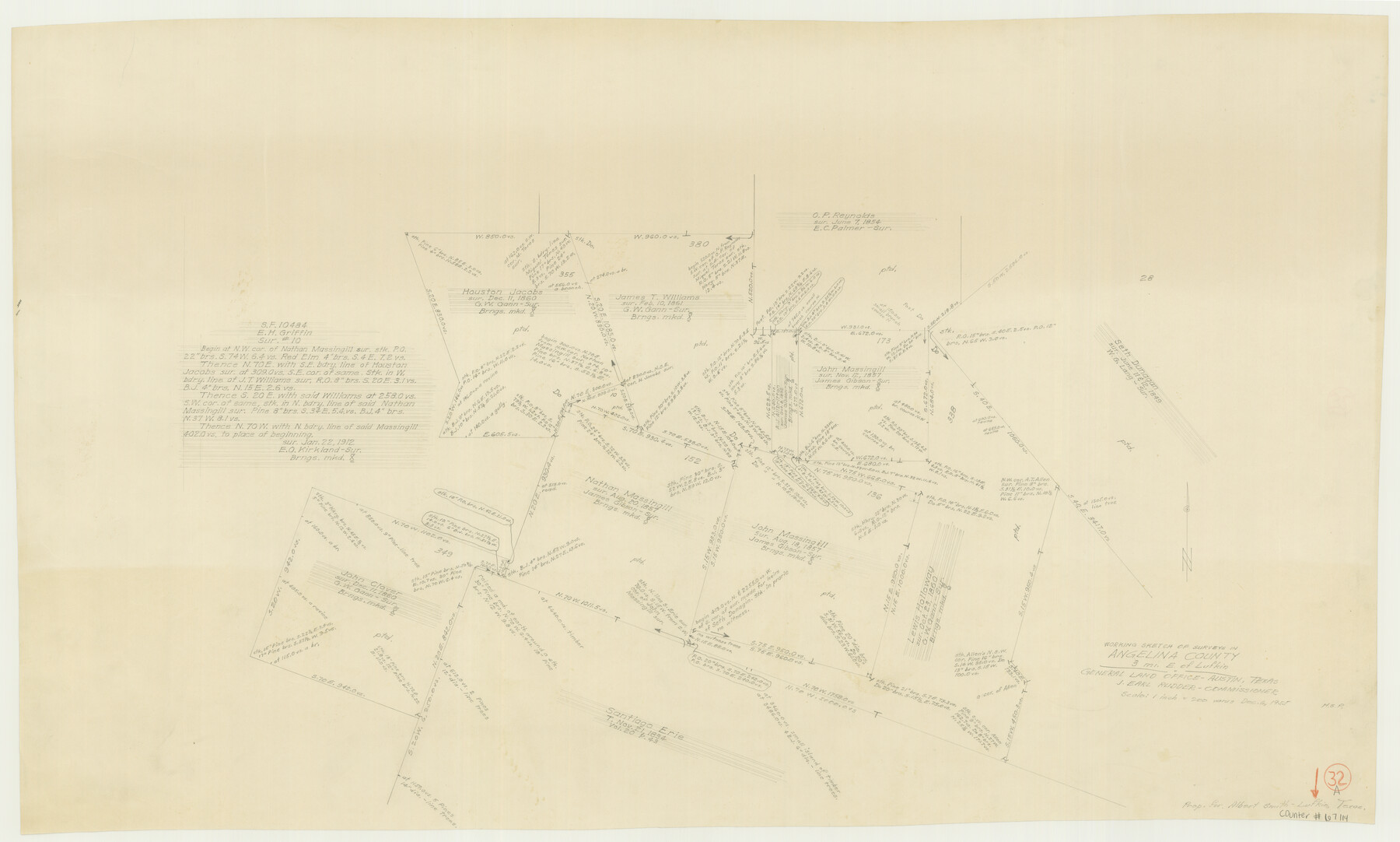
Angelina County Working Sketch 32a
-
Map/Doc
67114
-
Collection
General Map Collection
-
Object Dates
12/6/1955 (Creation Date)
-
People and Organizations
J. Earl Rudder (GLO Commissioner)
-
Counties
Angelina
-
Subjects
Surveying Working Sketch
-
Height x Width
22.0 x 36.7 inches
55.9 x 93.2 cm
-
Scale
1" = 200 varas
-
Comments
Surveys located about three miles North 89 degrees East from Lufkin, Texas.
Part of: General Map Collection
Tom Green County

Print $40.00
- Digital $50.00
Tom Green County
1942
Size 55.7 x 46.7 inches
Map/Doc 95655
Map of Padre Island Showing Location of Zoning Districts

Print $20.00
- Digital $50.00
Map of Padre Island Showing Location of Zoning Districts
1971
Size 18.8 x 26.7 inches
Map/Doc 4809
Pecos County Rolled Sketch 119

Print $20.00
- Digital $50.00
Pecos County Rolled Sketch 119
1945
Size 20.5 x 21.5 inches
Map/Doc 7261
Map of Chicago, Rock Island & Texas Railway through Wise and Tarrant County, Texas

Print $40.00
- Digital $50.00
Map of Chicago, Rock Island & Texas Railway through Wise and Tarrant County, Texas
1893
Size 19.4 x 121.0 inches
Map/Doc 64428
Kleberg County Rolled Sketch 10-15

Print $20.00
- Digital $50.00
Kleberg County Rolled Sketch 10-15
1951
Size 37.4 x 33.1 inches
Map/Doc 9367
Foard County Rolled Sketch 16

Print $40.00
- Digital $50.00
Foard County Rolled Sketch 16
1889
Size 36.9 x 72.8 inches
Map/Doc 8893
Bexar County Sketch File 33

Print $4.00
- Digital $50.00
Bexar County Sketch File 33
Size 10.7 x 8.5 inches
Map/Doc 14496
Flight Mission No. CGI-4N, Frame 186, Cameron County

Print $20.00
- Digital $50.00
Flight Mission No. CGI-4N, Frame 186, Cameron County
1955
Size 18.5 x 22.2 inches
Map/Doc 84689
Edwards County Rolled Sketch 27

Print $20.00
- Digital $50.00
Edwards County Rolled Sketch 27
1959
Size 18.0 x 33.2 inches
Map/Doc 5813
Harris County Boundary File 39 (17)

Print $4.00
- Digital $50.00
Harris County Boundary File 39 (17)
Size 10.0 x 8.1 inches
Map/Doc 54357
Harris County Working Sketch 35

Print $20.00
- Digital $50.00
Harris County Working Sketch 35
1938
Size 28.8 x 25.2 inches
Map/Doc 65927
Current Miscellaneous File 49

Print $4.00
- Digital $50.00
Current Miscellaneous File 49
Size 11.2 x 8.8 inches
Map/Doc 74012
You may also like
Potter County Sketch File 6

Print $20.00
- Digital $50.00
Potter County Sketch File 6
1900
Size 34.4 x 29.0 inches
Map/Doc 10575
Lake Buchanan, Burnet and Llano Counties, Texas

Print $20.00
- Digital $50.00
Lake Buchanan, Burnet and Llano Counties, Texas
1935
Size 20.7 x 14.4 inches
Map/Doc 3136
Rio Grande Rectification Project, El Paso and Juarez Valley

Print $2.00
- Digital $50.00
Rio Grande Rectification Project, El Paso and Juarez Valley
1935
Size 10.8 x 8.2 inches
Map/Doc 60873
McLennan County Working Sketch Graphic Index

Print $20.00
- Digital $50.00
McLennan County Working Sketch Graphic Index
1946
Size 41.8 x 44.8 inches
Map/Doc 76637
Archer County Working Sketch 4

Print $40.00
- Digital $50.00
Archer County Working Sketch 4
1918
Size 49.9 x 68.3 inches
Map/Doc 67144
Gaines County Rolled Sketch 15C

Print $40.00
- Digital $50.00
Gaines County Rolled Sketch 15C
Size 128.4 x 22.8 inches
Map/Doc 75928
Montague County Working Sketch 35

Print $20.00
- Digital $50.00
Montague County Working Sketch 35
1980
Size 24.8 x 31.9 inches
Map/Doc 71101
Brazoria County NRC Article 33.136 Sketch 18

Print $24.00
- Digital $50.00
Brazoria County NRC Article 33.136 Sketch 18
2015
Size 24.0 x 36.0 inches
Map/Doc 95066
Angelina County Working Sketch 43

Print $20.00
- Digital $50.00
Angelina County Working Sketch 43
1963
Size 23.1 x 34.5 inches
Map/Doc 67126
Hamilton County Sketch File 13

Print $40.00
- Digital $50.00
Hamilton County Sketch File 13
1876
Size 12.0 x 16.7 inches
Map/Doc 24935
Cass County Working Sketch 31

Print $20.00
- Digital $50.00
Cass County Working Sketch 31
1981
Size 30.7 x 31.1 inches
Map/Doc 67934
