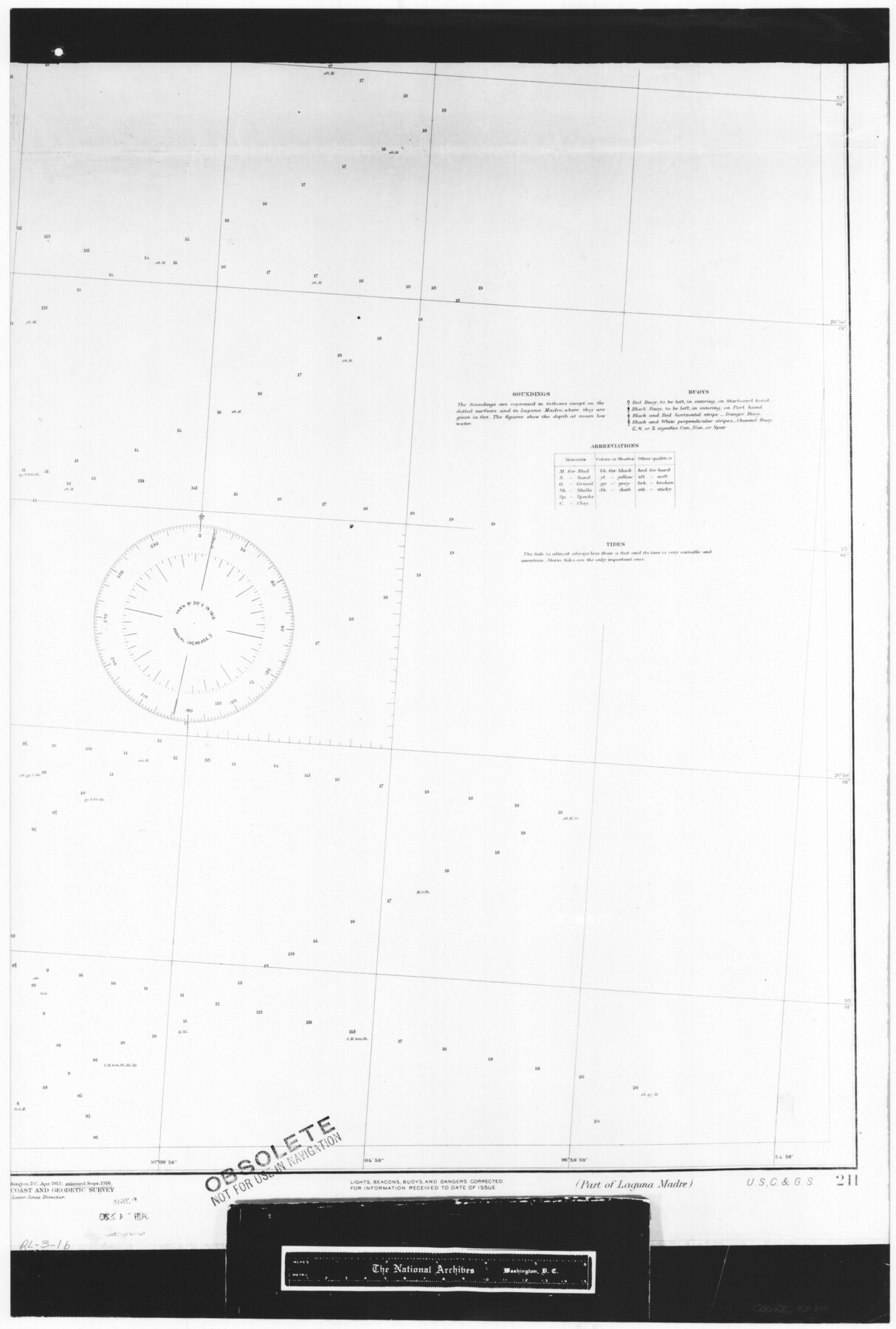
United States - Gulf Coast - Padre I. and Laguna Madre Lat. 27° 12' to Lat. 26° 33' Texas
RL-3-1b
-
Map/Doc
72818
-
Collection
General Map Collection
-
Object Dates
1913 (Creation Date)
-
People and Organizations
U. S. Coastal and Geodetic Survey (Publisher)
U. S. Engineers (Surveyor/Engineer)
-
Counties
Nueces
-
Subjects
Nautical Charts
-
Height x Width
27.1 x 18.3 inches
68.8 x 46.5 cm
-
Comments
B/W photostat copy from National Archives in multiple pieces.
Part of: General Map Collection
Red River County Working Sketch 6

Print $20.00
- Digital $50.00
Red River County Working Sketch 6
1919
Size 20.1 x 20.9 inches
Map/Doc 71989
DeWitt County Working Sketch 11

Print $20.00
- Digital $50.00
DeWitt County Working Sketch 11
1980
Size 15.9 x 12.8 inches
Map/Doc 68601
Maverick County Sketch File 23a

Print $20.00
- Digital $50.00
Maverick County Sketch File 23a
Size 41.0 x 41.1 inches
Map/Doc 10537
Johnson County

Print $20.00
- Digital $50.00
Johnson County
1857
Size 19.2 x 29.1 inches
Map/Doc 3734
Midland County

Print $20.00
- Digital $50.00
Midland County
1896
Size 23.0 x 21.1 inches
Map/Doc 3878
Montgomery County Sketch File 7

Print $35.00
- Digital $50.00
Montgomery County Sketch File 7
1861
Size 8.8 x 7.8 inches
Map/Doc 31785
University Land in Grayson County in Two Parts

Print $20.00
- Digital $50.00
University Land in Grayson County in Two Parts
Size 23.9 x 30.4 inches
Map/Doc 2429
Tarrant County Boundary File 2a

Print $62.00
- Digital $50.00
Tarrant County Boundary File 2a
Size 9.0 x 4.8 inches
Map/Doc 59114
Flight Mission No. CRC-4R, Frame 177, Chambers County

Print $20.00
- Digital $50.00
Flight Mission No. CRC-4R, Frame 177, Chambers County
1956
Size 18.7 x 22.3 inches
Map/Doc 84928
Crane County Sketch File 6

Print $20.00
- Digital $50.00
Crane County Sketch File 6
Size 18.7 x 22.8 inches
Map/Doc 11207
El Paso County Rolled Sketch 52

Print $20.00
- Digital $50.00
El Paso County Rolled Sketch 52
1955
Size 18.5 x 24.3 inches
Map/Doc 5840
Reagan County Sketch File 29

Print $20.00
- Digital $50.00
Reagan County Sketch File 29
1951
Size 21.3 x 30.5 inches
Map/Doc 12225
You may also like
Reagan County Working Sketch 14c

Print $20.00
- Digital $50.00
Reagan County Working Sketch 14c
Size 20.8 x 9.4 inches
Map/Doc 71856
Crockett County Rolled Sketch 79

Print $20.00
- Digital $50.00
Crockett County Rolled Sketch 79
1954
Size 36.1 x 47.8 inches
Map/Doc 76013
The Beautiful Valley of the Lower Rio Grande

The Beautiful Valley of the Lower Rio Grande
1925
Map/Doc 96735
Working Sketch in Crockett County

Print $20.00
- Digital $50.00
Working Sketch in Crockett County
1923
Size 23.2 x 29.6 inches
Map/Doc 90315
From Citizens of Washington County Living East of the Brazos River and in the Forks of the Navasota and Brazos Rivers and South of the Old San Antonio Road for the Creation of a New County (Unnamed), January 13, 1840

Print $20.00
From Citizens of Washington County Living East of the Brazos River and in the Forks of the Navasota and Brazos Rivers and South of the Old San Antonio Road for the Creation of a New County (Unnamed), January 13, 1840
2020
Size 20.4 x 21.7 inches
Map/Doc 96388

Hutchinson County Working Sketch 13

Print $20.00
- Digital $50.00
Hutchinson County Working Sketch 13
1926
Size 22.6 x 31.5 inches
Map/Doc 66371
Lee County Working Sketch 11

Print $20.00
- Digital $50.00
Lee County Working Sketch 11
1980
Size 25.2 x 25.7 inches
Map/Doc 70390
Webb County Working Sketch 76

Print $20.00
- Digital $50.00
Webb County Working Sketch 76
1975
Size 43.3 x 37.5 inches
Map/Doc 72443
[Sketch showing Block M-3]
![91708, [Sketch showing Block M-3], Twichell Survey Records](https://historictexasmaps.com/wmedia_w700/maps/91708-1.tif.jpg)
Print $20.00
- Digital $50.00
[Sketch showing Block M-3]
Size 7.0 x 21.2 inches
Map/Doc 91708
General Highway Map, Atascosa County, Texas

Print $20.00
General Highway Map, Atascosa County, Texas
1940
Size 18.5 x 25.0 inches
Map/Doc 79007
Jack County Sketch File 31

Print $40.00
- Digital $50.00
Jack County Sketch File 31
1926
Size 8.8 x 7.2 inches
Map/Doc 27565