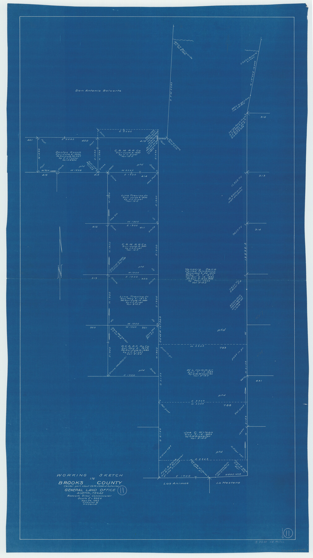
Brooks County Working Sketch 11
-
Map/Doc
67795
-
Collection
General Map Collection
-
Object Dates
11/24/1942 (Creation Date)
-
People and Organizations
Herbert H. Ulbricht (Draftsman)
-
Counties
Brooks
-
Subjects
Surveying Working Sketch
-
Height x Width
41.8 x 23.5 inches
106.2 x 59.7 cm
-
Scale
1" = 500 varas
Part of: General Map Collection
San Patricio County NRC Article 33.136 Sketch 4

Print $3.00
- Digital $50.00
San Patricio County NRC Article 33.136 Sketch 4
Size 11.0 x 17.0 inches
Map/Doc 94695
Galveston County NRC Article 33.136 Sketch 29

Print $21.00
- Digital $50.00
Galveston County NRC Article 33.136 Sketch 29
2005
Size 22.4 x 31.9 inches
Map/Doc 83282
Culberson County Sketch File 20

Print $57.00
- Digital $50.00
Culberson County Sketch File 20
Size 10.2 x 15.6 inches
Map/Doc 20205
Flight Mission No. BRE-2P, Frame 75, Nueces County

Print $20.00
- Digital $50.00
Flight Mission No. BRE-2P, Frame 75, Nueces County
1956
Size 18.5 x 22.5 inches
Map/Doc 86770
Hudspeth County Working Sketch 39

Print $20.00
- Digital $50.00
Hudspeth County Working Sketch 39
1980
Size 37.1 x 37.0 inches
Map/Doc 66324
Andrews County Rolled Sketch 12B

Print $20.00
- Digital $50.00
Andrews County Rolled Sketch 12B
1933
Size 39.9 x 37.8 inches
Map/Doc 8392
La Salle County Rolled Sketch 26

Print $20.00
- Digital $50.00
La Salle County Rolled Sketch 26
1969
Size 23.6 x 24.7 inches
Map/Doc 6587
Trinity River, Clear Lake Sheet/East Fork of Trinity River and Pilot Grove Creek

Print $6.00
- Digital $50.00
Trinity River, Clear Lake Sheet/East Fork of Trinity River and Pilot Grove Creek
1923
Size 33.0 x 31.1 inches
Map/Doc 65194
Val Verde County Rolled Sketch 3X

Print $20.00
- Digital $50.00
Val Verde County Rolled Sketch 3X
Size 27.9 x 30.9 inches
Map/Doc 8107

Van Zandt County Sketch File 49

Print $2.00
- Digital $50.00
Van Zandt County Sketch File 49
1990
Size 11.3 x 8.9 inches
Map/Doc 39510
Presidio County Working Sketch 34

Print $20.00
- Digital $50.00
Presidio County Working Sketch 34
1947
Size 41.7 x 37.6 inches
Map/Doc 71711
You may also like
Land Grant Map of Comal County

Print $20.00
- Digital $50.00
Land Grant Map of Comal County
2006
Size 33.3 x 41.0 inches
Map/Doc 83601

Presidio County Working Sketch 37

Print $20.00
- Digital $50.00
Presidio County Working Sketch 37
1948
Size 26.9 x 43.3 inches
Map/Doc 71714
[Sketch showing Block 42, Sections 221 and 222 and Block H, Sections 7 and 9]
![91714, [Sketch showing Block 42, Sections 221 and 222 and Block H, Sections 7 and 9], Twichell Survey Records](https://historictexasmaps.com/wmedia_w700/maps/91714-1.tif.jpg)
Print $2.00
- Digital $50.00
[Sketch showing Block 42, Sections 221 and 222 and Block H, Sections 7 and 9]
1919
Size 5.6 x 5.0 inches
Map/Doc 91714
Hopkins County Working Sketch Graphic Index

Print $20.00
- Digital $50.00
Hopkins County Working Sketch Graphic Index
1942
Size 40.6 x 38.7 inches
Map/Doc 76581
Coke County Working Sketch 18

Print $20.00
- Digital $50.00
Coke County Working Sketch 18
1948
Size 47.0 x 39.6 inches
Map/Doc 68055
Gulf Coast of the United States, Key West to Rio Grande

Print $40.00
Gulf Coast of the United States, Key West to Rio Grande
1863
Size 30.2 x 53.5 inches
Map/Doc 79335
Hardeman County Sketch File A

Print $14.00
- Digital $50.00
Hardeman County Sketch File A
1884
Size 12.7 x 8.1 inches
Map/Doc 25039
Ladonia, Fannin County, Texas

Print $20.00
Ladonia, Fannin County, Texas
1891
Size 12.3 x 22.3 inches
Map/Doc 93475
Intracoastal Waterway in Texas - Corpus Christi to Point Isabel including Arroyo Colorado to Mo. Pac. R.R. Bridge Near Harlingen

Print $20.00
- Digital $50.00
Intracoastal Waterway in Texas - Corpus Christi to Point Isabel including Arroyo Colorado to Mo. Pac. R.R. Bridge Near Harlingen
1933
Size 28.2 x 40.8 inches
Map/Doc 61852
Township No. 1 South Range No. 24 West of the Indian Meridian

Print $20.00
- Digital $50.00
Township No. 1 South Range No. 24 West of the Indian Meridian
1875
Size 19.2 x 24.4 inches
Map/Doc 75173
Tom Green County Rolled Sketch 12A

Print $40.00
- Digital $50.00
Tom Green County Rolled Sketch 12A
1951
Size 42.9 x 50.4 inches
Map/Doc 10003