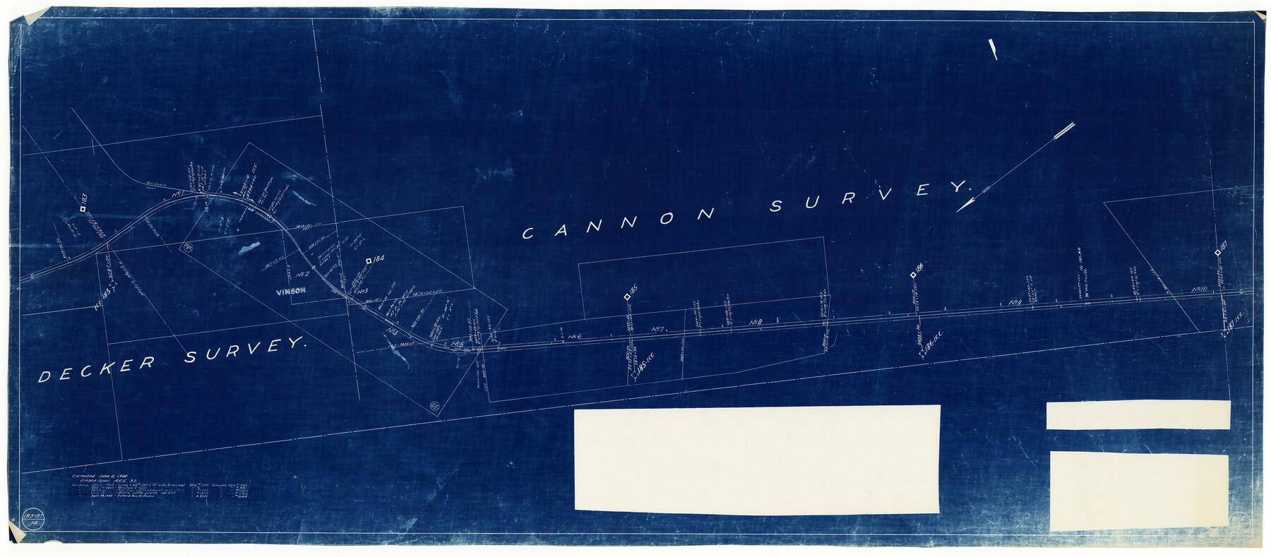
Travis County Rolled Sketch 47
[I. & G. N. R.R. Co. right-of-way map, Austin to Buda]
-
Map/Doc
10016
-
Collection
General Map Collection
-
Object Dates
4/28/1925 (Creation Date)
2/11/1976 (File Date)
-
Counties
Travis
-
Subjects
Surveying Rolled Sketch
-
Height x Width
24.9 x 56.8 inches
63.3 x 144.3 cm
-
Medium
blueprint/diazo
-
Comments
One of four sheets. See maps 10626, 10627, and 10628 for the other sheets.
Related maps
Travis County Rolled Sketch 47

Print $40.00
- Digital $50.00
Travis County Rolled Sketch 47
1923
Size 57.3 x 26.5 inches
Map/Doc 10626
Travis County Rolled Sketch 47

Print $40.00
- Digital $50.00
Travis County Rolled Sketch 47
1928
Size 57.3 x 26.1 inches
Map/Doc 10627
Travis County Rolled Sketch 47

Print $40.00
- Digital $50.00
Travis County Rolled Sketch 47
1931
Size 57.2 x 25.4 inches
Map/Doc 10628
Part of: General Map Collection
Cherokee County Working Sketch 1

Print $20.00
- Digital $50.00
Cherokee County Working Sketch 1
1925
Size 22.9 x 24.1 inches
Map/Doc 67956
Houston County Working Sketch 18

Print $20.00
- Digital $50.00
Houston County Working Sketch 18
Size 18.8 x 22.5 inches
Map/Doc 66248
Travis County Appraisal District Plat Map 2_3215

Print $20.00
- Digital $50.00
Travis County Appraisal District Plat Map 2_3215
Size 21.5 x 26.4 inches
Map/Doc 94222
Grayson County Sketch File 5

Print $40.00
- Digital $50.00
Grayson County Sketch File 5
1856
Size 13.9 x 14.5 inches
Map/Doc 24464
[Shelby District]
![69740, [Shelby District], General Map Collection](https://historictexasmaps.com/wmedia_w700/maps/69740.tif.jpg)
Print $2.00
- Digital $50.00
[Shelby District]
1845
Size 6.9 x 7.6 inches
Map/Doc 69740
Old Miscellaneous File 19

Print $32.00
- Digital $50.00
Old Miscellaneous File 19
Size 14.2 x 8.8 inches
Map/Doc 75499
Crane County Working Sketch 29

Print $20.00
- Digital $50.00
Crane County Working Sketch 29
1976
Size 45.4 x 36.5 inches
Map/Doc 68306
Burleson County Working Sketch 9

Print $20.00
- Digital $50.00
Burleson County Working Sketch 9
1980
Size 26.2 x 25.2 inches
Map/Doc 67728
University Land Field Notes for Block 52 in Crockett, Irion, and Schleicher Counties, Blocks 55 and 56 in Crockett and Schleicher Counties, Block 53 in Irion and Schleicher Counties, and Blocks 54 and 57 in Schleicher County

University Land Field Notes for Block 52 in Crockett, Irion, and Schleicher Counties, Blocks 55 and 56 in Crockett and Schleicher Counties, Block 53 in Irion and Schleicher Counties, and Blocks 54 and 57 in Schleicher County
Map/Doc 81719
Hall County Sketch File 29 and 29a

Print $12.00
- Digital $50.00
Hall County Sketch File 29 and 29a
1913
Size 8.9 x 7.9 inches
Map/Doc 24824
Edwards County Working Sketch 62

Print $20.00
- Digital $50.00
Edwards County Working Sketch 62
1955
Size 21.7 x 28.5 inches
Map/Doc 68938
Flight Mission No. CLL-3N, Frame 44, Willacy County

Print $20.00
- Digital $50.00
Flight Mission No. CLL-3N, Frame 44, Willacy County
1954
Size 18.4 x 22.0 inches
Map/Doc 87102
You may also like
Blanco County Boundary File 1

Print $20.00
- Digital $50.00
Blanco County Boundary File 1
Size 11.6 x 23.1 inches
Map/Doc 50539

Amarillo Improvements for Sawville-Amarillo Heights

Print $40.00
- Digital $50.00
Amarillo Improvements for Sawville-Amarillo Heights
Size 37.2 x 62.1 inches
Map/Doc 89789
San Patricio County Rolled Sketch 46G

Print $40.00
- Digital $50.00
San Patricio County Rolled Sketch 46G
1983
Size 31.2 x 50.0 inches
Map/Doc 8378
Hardeman County

Print $20.00
- Digital $50.00
Hardeman County
1935
Size 46.0 x 42.7 inches
Map/Doc 95520
Travis County State Real Property Sketch 3

Print $20.00
- Digital $50.00
Travis County State Real Property Sketch 3
1985
Size 34.3 x 35.9 inches
Map/Doc 61694
San Patricio County Sketch File 48

Print $88.00
- Digital $50.00
San Patricio County Sketch File 48
Size 9.0 x 9.0 inches
Map/Doc 36285
Coryell County Sketch File 22

Print $20.00
- Digital $50.00
Coryell County Sketch File 22
1943
Size 24.8 x 18.2 inches
Map/Doc 11186
Stephens County Rolled Sketch 5

Print $20.00
- Digital $50.00
Stephens County Rolled Sketch 5
Size 23.2 x 37.2 inches
Map/Doc 7842

Map of Lavaca County

Print $20.00
- Digital $50.00
Map of Lavaca County
1853
Size 20.1 x 20.4 inches
Map/Doc 3801
Blanco County Sketch File 42

Print $20.00
- Digital $50.00
Blanco County Sketch File 42
1889
Size 13.5 x 8.8 inches
Map/Doc 14656