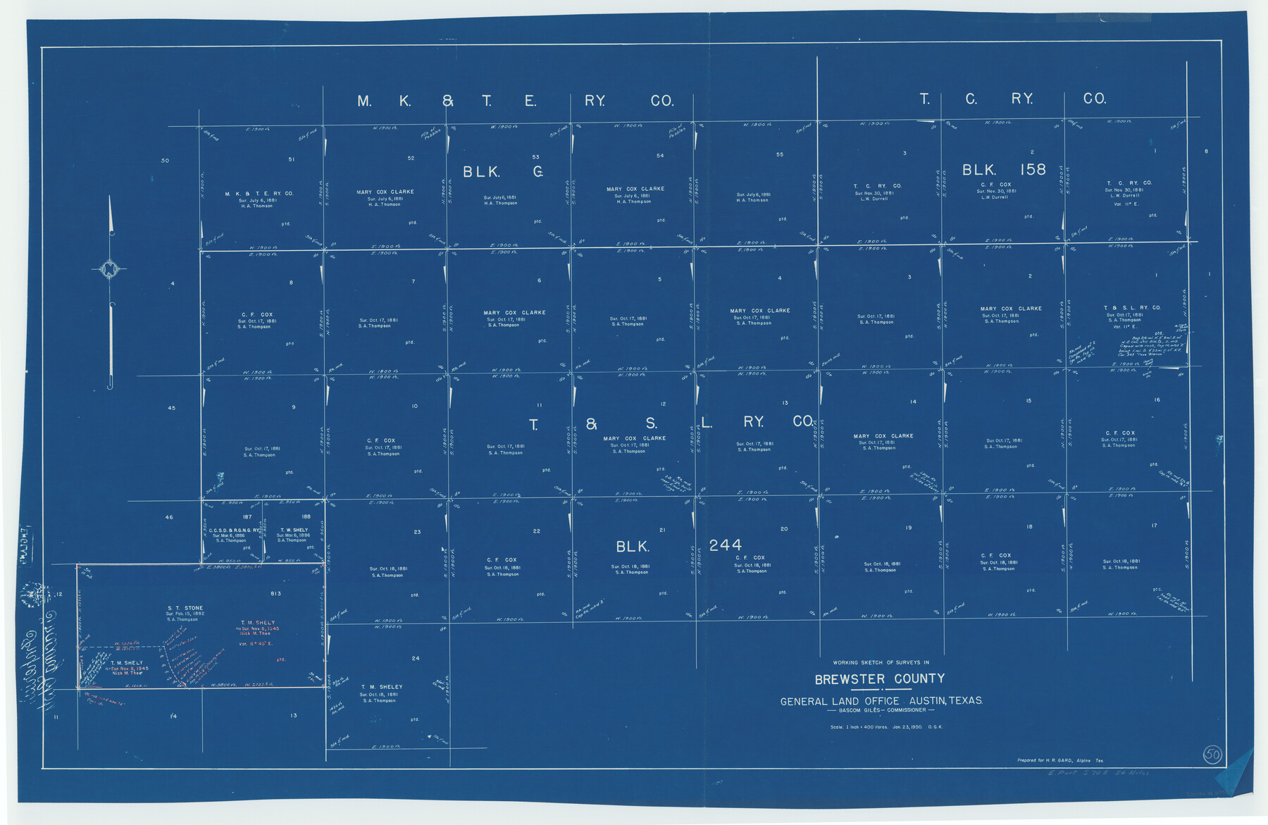
Brewster County Working Sketch 50
-
Map/Doc
67584
-
Collection
General Map Collection
-
Object Dates
1/23/1950 (Creation Date)
-
People and Organizations
Otto G. Kurio (Draftsman)
-
Counties
Brewster
-
Subjects
Surveying Working Sketch
-
Height x Width
31.5 x 48.4 inches
80.0 x 122.9 cm
-
Scale
1" = 400 varas
Part of: General Map Collection
Carson County Boundary File 7

Print $64.00
- Digital $50.00
Carson County Boundary File 7
Size 9.3 x 6.9 inches
Map/Doc 51157
Uvalde County Sketch File 13

Print $20.00
- Digital $50.00
Uvalde County Sketch File 13
Size 14.3 x 29.1 inches
Map/Doc 12528
Travis County Working Sketch 20

Print $20.00
- Digital $50.00
Travis County Working Sketch 20
1945
Size 28.5 x 31.9 inches
Map/Doc 69404
Jim Wells County Working Sketch 7

Print $20.00
- Digital $50.00
Jim Wells County Working Sketch 7
1944
Size 26.2 x 29.3 inches
Map/Doc 66605
Uvalde County Working Sketch 16

Print $20.00
- Digital $50.00
Uvalde County Working Sketch 16
1946
Size 37.0 x 27.2 inches
Map/Doc 72086
University Land Block 46, Culberson County, Texas

Print $20.00
- Digital $50.00
University Land Block 46, Culberson County, Texas
1938
Size 35.1 x 22.0 inches
Map/Doc 2410
National Map Company's Ohio showing Counties, Townships, Cities, Villages, Post Offices, Steam and Electric Railways, With Stations and Distances Between Stations

Print $20.00
- Digital $50.00
National Map Company's Ohio showing Counties, Townships, Cities, Villages, Post Offices, Steam and Electric Railways, With Stations and Distances Between Stations
1920
Size 38.7 x 32.3 inches
Map/Doc 97109
Marion County Rolled Sketch 5

Print $20.00
- Digital $50.00
Marion County Rolled Sketch 5
1961
Size 22.6 x 20.5 inches
Map/Doc 6658
Colorado River, Buecher State Park

Print $4.00
- Digital $50.00
Colorado River, Buecher State Park
1934
Size 20.8 x 11.6 inches
Map/Doc 65324
Marion County Rolled Sketch JB

Print $40.00
- Digital $50.00
Marion County Rolled Sketch JB
Size 51.9 x 23.1 inches
Map/Doc 9488
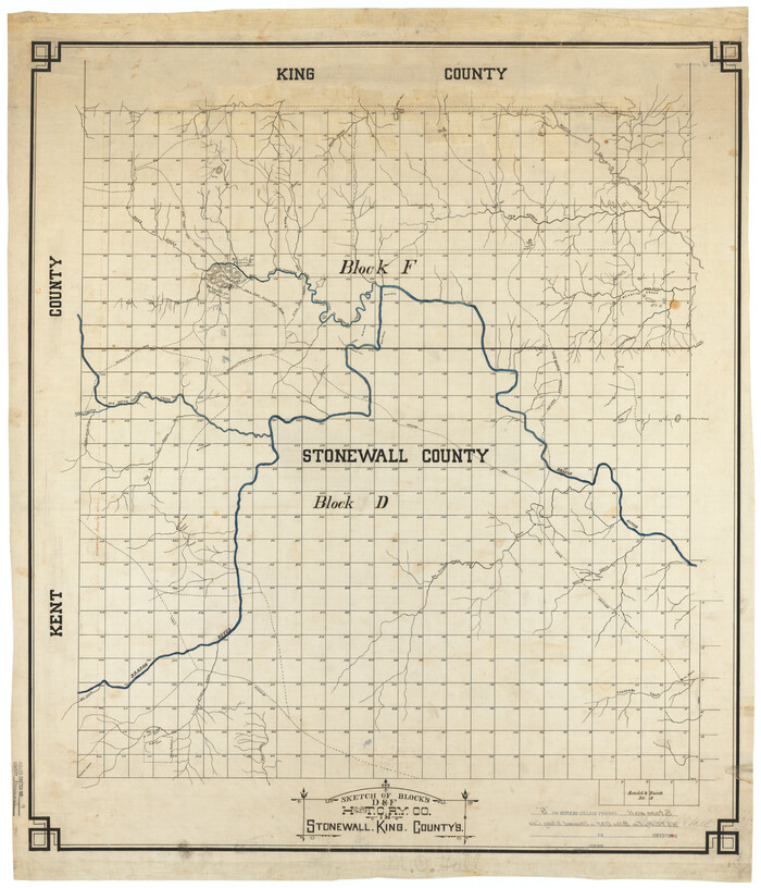
Stonewall County Rolled Sketch 9
Print $20.00
- Digital $50.00
Stonewall County Rolled Sketch 9
Size 35.8 x 30.8 inches
Map/Doc 7865
Matagorda County Sketch File 39

Print $20.00
- Digital $50.00
Matagorda County Sketch File 39
Size 31.1 x 24.3 inches
Map/Doc 12047
You may also like

Map of Liberty County Texas

Print $20.00
- Digital $50.00
Map of Liberty County Texas
1879
Size 24.2 x 23.9 inches
Map/Doc 3814

Trinity County Sketch File 25

Print $20.00
- Digital $50.00
Trinity County Sketch File 25
Size 19.5 x 37.3 inches
Map/Doc 12487
Kinney County Sketch File 28

Print $8.00
- Digital $50.00
Kinney County Sketch File 28
1929
Size 11.3 x 9.0 inches
Map/Doc 29167
Refugio County Sketch File 8a

Print $2.00
- Digital $50.00
Refugio County Sketch File 8a
Size 8.1 x 10.2 inches
Map/Doc 35253
Flight Mission No. BRA-7M, Frame 82, Jefferson County

Print $20.00
- Digital $50.00
Flight Mission No. BRA-7M, Frame 82, Jefferson County
1953
Size 16.1 x 15.9 inches
Map/Doc 85504
Milam County Aerial Photograph Index Sheet 3

Print $20.00
- Digital $50.00
Milam County Aerial Photograph Index Sheet 3
1951
Size 24.3 x 20.4 inches
Map/Doc 86602
Polk County Sketch File 31

Print $10.00
- Digital $50.00
Polk County Sketch File 31
Size 14.2 x 8.6 inches
Map/Doc 34221
Fannin County Sketch File 21

Print $4.00
- Digital $50.00
Fannin County Sketch File 21
1878
Size 10.5 x 8.4 inches
Map/Doc 22487
Lee County Working Sketch 20

Print $20.00
- Digital $50.00
Lee County Working Sketch 20
1992
Size 25.3 x 35.4 inches
Map/Doc 70399
[Surveyor's certificate by James Howlet, District Surveyor]
![318, [Surveyor's certificate by James Howlet, District Surveyor], General Map Collection](https://historictexasmaps.com/wmedia_w700/maps/318.tif.jpg)
Print $2.00
- Digital $50.00
[Surveyor's certificate by James Howlet, District Surveyor]
Size 6.1 x 8.0 inches
Map/Doc 318