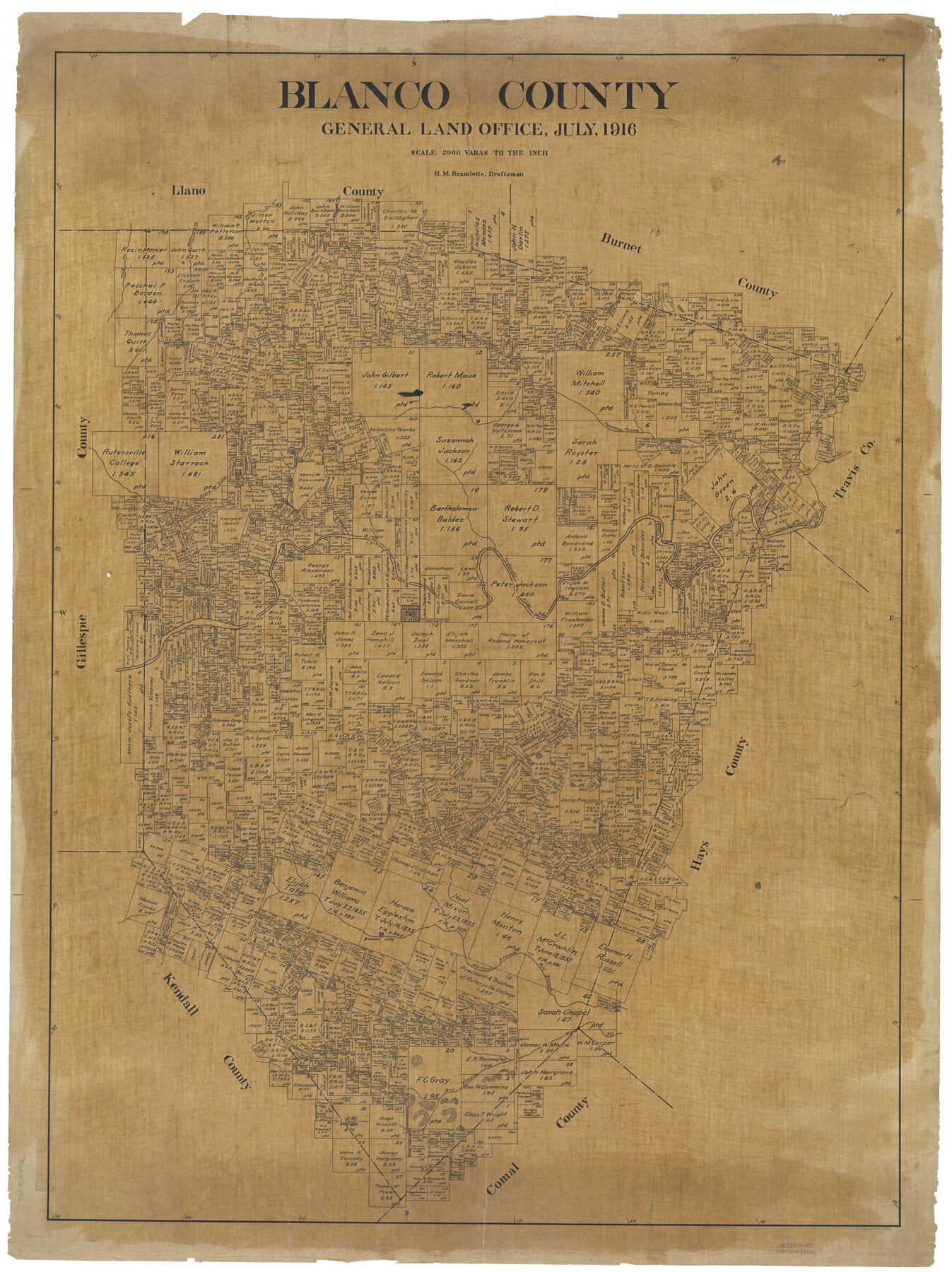
Blanco County
-
Map/Doc
4886
-
Collection
General Map Collection
-
Object Dates
1916 (Creation Date)
-
People and Organizations
Texas General Land Office (Publisher)
H.M. Bramlette (Draftsman)
H.M. Bramlette (Compiler)
-
Counties
Blanco
-
Subjects
County
-
Height x Width
48.0 x 35.9 inches
121.9 x 91.2 cm
Part of: General Map Collection
Matagorda County Aerial Photograph Index Sheet 5

Print $20.00
- Digital $50.00
Matagorda County Aerial Photograph Index Sheet 5
1953
Size 23.6 x 19.5 inches
Map/Doc 83726
Galveston County Sketch File 35

Print $8.00
- Digital $50.00
Galveston County Sketch File 35
1934
Size 11.3 x 8.8 inches
Map/Doc 23419
Lampasas County Working Sketch 16

Print $20.00
- Digital $50.00
Lampasas County Working Sketch 16
1977
Size 27.6 x 19.6 inches
Map/Doc 70293
Crane County Working Sketch 9

Print $20.00
- Digital $50.00
Crane County Working Sketch 9
1937
Size 47.6 x 42.8 inches
Map/Doc 68286
Flight Mission No. DQN-2K, Frame 22, Calhoun County

Print $20.00
- Digital $50.00
Flight Mission No. DQN-2K, Frame 22, Calhoun County
1953
Size 16.9 x 18.9 inches
Map/Doc 84229
Falls County Sketch File 6

Print $4.00
- Digital $50.00
Falls County Sketch File 6
1848
Size 12.8 x 8.3 inches
Map/Doc 22341
[St. Louis & Southwestern]
![64281, [St. Louis & Southwestern], General Map Collection](https://historictexasmaps.com/wmedia_w700/maps/64281.tif.jpg)
Print $20.00
- Digital $50.00
[St. Louis & Southwestern]
Size 20.9 x 29.0 inches
Map/Doc 64281
Hutchinson County Sketch File 6

Print $8.00
- Digital $50.00
Hutchinson County Sketch File 6
1890
Size 10.9 x 8.4 inches
Map/Doc 27198
Val Verde County Rolled Sketch 55

Print $20.00
- Digital $50.00
Val Verde County Rolled Sketch 55
1940
Size 32.0 x 23.3 inches
Map/Doc 8124
Controlled Mosaic by Jack Amman Photogrammetric Engineers, Inc - Sheet 37

Print $20.00
- Digital $50.00
Controlled Mosaic by Jack Amman Photogrammetric Engineers, Inc - Sheet 37
1954
Size 20.0 x 24.0 inches
Map/Doc 83491
Red River County Sketch File 24

Print $6.00
- Digital $50.00
Red River County Sketch File 24
1920
Size 11.4 x 8.8 inches
Map/Doc 35158
Randall County Working Sketch 2

Print $20.00
- Digital $50.00
Randall County Working Sketch 2
1980
Size 28.6 x 31.3 inches
Map/Doc 71839
You may also like
Wharton County Sketch File 14

Print $70.00
- Digital $50.00
Wharton County Sketch File 14
1895
Size 9.7 x 6.2 inches
Map/Doc 39938
General Highway Map. Detail of Cities and Towns in Jefferson County, Texas. City Map of Beaumont, Jefferson County, Texas

Print $20.00
General Highway Map. Detail of Cities and Towns in Jefferson County, Texas. City Map of Beaumont, Jefferson County, Texas
1961
Size 25.0 x 18.1 inches
Map/Doc 79539
Old Miscellaneous File 25

Print $40.00
- Digital $50.00
Old Miscellaneous File 25
Size 17.8 x 15.2 inches
Map/Doc 75632
Lynn County Boundary File 8

Print $4.00
- Digital $50.00
Lynn County Boundary File 8
Size 10.4 x 8.6 inches
Map/Doc 56655
Presidio County Working Sketch 76

Print $20.00
- Digital $50.00
Presidio County Working Sketch 76
1963
Size 29.8 x 30.8 inches
Map/Doc 71753
Louisiana and Texas Intracoastal Waterway - Matagorda Bay to San Antonio Bay Dredging - Sheet 1

Print $20.00
- Digital $50.00
Louisiana and Texas Intracoastal Waterway - Matagorda Bay to San Antonio Bay Dredging - Sheet 1
1942
Size 31.2 x 41.2 inches
Map/Doc 61823
Val Verde County Sketch File 30

Print $8.00
- Digital $50.00
Val Verde County Sketch File 30
1933
Size 11.5 x 8.8 inches
Map/Doc 39236
Dallam Co. Texas, Standard Single County Oil Development Survey

Print $20.00
- Digital $50.00
Dallam Co. Texas, Standard Single County Oil Development Survey
Size 20.7 x 15.8 inches
Map/Doc 90583
Pecos County Sketch File 84

Print $4.00
- Digital $50.00
Pecos County Sketch File 84
1944
Size 11.2 x 8.8 inches
Map/Doc 33953
Erath County Working Sketch 44

Print $20.00
- Digital $50.00
Erath County Working Sketch 44
1981
Size 29.7 x 30.4 inches
Map/Doc 69125
Ector County Working Sketch 21

Print $40.00
- Digital $50.00
Ector County Working Sketch 21
Size 41.3 x 117.7 inches
Map/Doc 68864
Young County Rolled Sketch 2

Print $20.00
- Digital $50.00
Young County Rolled Sketch 2
Size 26.2 x 25.0 inches
Map/Doc 8292