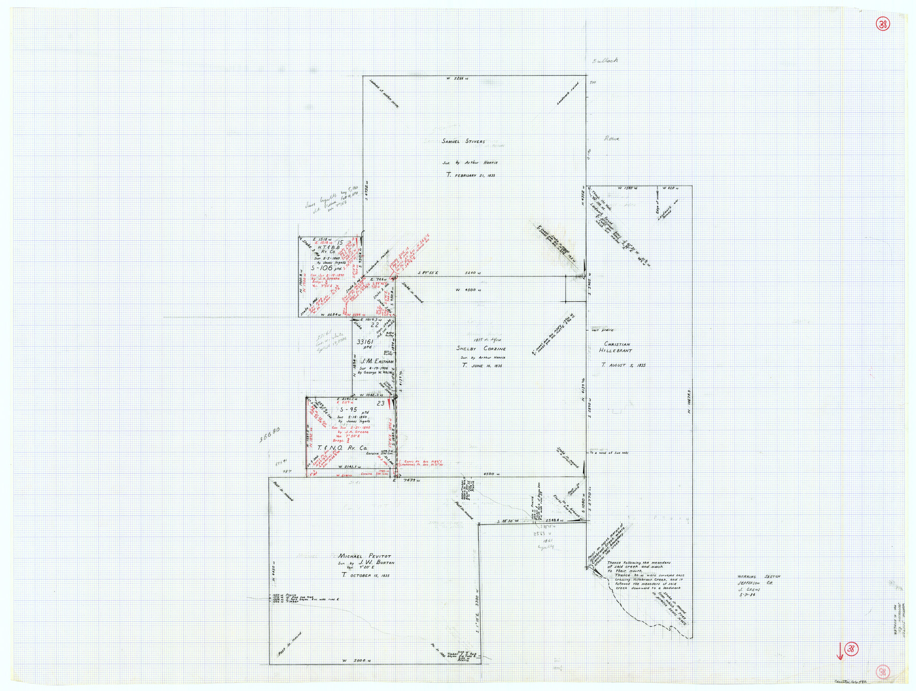
Jefferson County Working Sketch 38
-
Map/Doc
66582
-
Collection
General Map Collection
-
Object Dates
5/31/1984 (Creation Date)
-
People and Organizations
J. Crews (Draftsman)
-
Counties
Jefferson
-
Subjects
Surveying Working Sketch
-
Height x Width
32.6 x 43.2 inches
82.8 x 109.7 cm
Part of: General Map Collection
Bexar County Sketch File 45

Print $40.00
- Digital $50.00
Bexar County Sketch File 45
1886
Size 17.2 x 14.2 inches
Map/Doc 14526
Baylor County Rolled Sketch BT

Print $20.00
- Digital $50.00
Baylor County Rolled Sketch BT
1916
Size 21.4 x 24.0 inches
Map/Doc 5131
Comanche County Sketch File 7

Print $6.00
- Digital $50.00
Comanche County Sketch File 7
1852
Size 9.9 x 8.1 inches
Map/Doc 19063
Atascosa County Sketch File 27d

Print $8.00
- Digital $50.00
Atascosa County Sketch File 27d
1876
Size 10.9 x 8.9 inches
Map/Doc 13812
Map of Northern Boundary Line of Texas and Pacific 80 Mile Reservation

Print $20.00
- Digital $50.00
Map of Northern Boundary Line of Texas and Pacific 80 Mile Reservation
1902
Size 16.8 x 16.7 inches
Map/Doc 65694
Harris County Working Sketch 30

Print $20.00
- Digital $50.00
Harris County Working Sketch 30
1935
Size 25.9 x 28.0 inches
Map/Doc 65922
Lamar County Sketch File 5

Print $4.00
- Digital $50.00
Lamar County Sketch File 5
1877
Size 4.8 x 8.1 inches
Map/Doc 29284
Terrell County Rolled Sketch JAS

Print $40.00
- Digital $50.00
Terrell County Rolled Sketch JAS
1936
Size 48.5 x 40.0 inches
Map/Doc 9988
Dallas/Fort Worth Street Map & Visitor Guide

Dallas/Fort Worth Street Map & Visitor Guide
2000
Size 35.5 x 23.1 inches
Map/Doc 94296
Guadalupe County

Print $20.00
- Digital $50.00
Guadalupe County
1977
Size 35.0 x 45.9 inches
Map/Doc 77297
Map of the United States and their Territories between the Mississippi and the Pacific Ocean and part of Mexico

Print $20.00
- Digital $50.00
Map of the United States and their Territories between the Mississippi and the Pacific Ocean and part of Mexico
Size 23.5 x 26.5 inches
Map/Doc 96526
Briscoe County Boundary File 2

Print $4.00
- Digital $50.00
Briscoe County Boundary File 2
Size 11.2 x 8.8 inches
Map/Doc 50776
You may also like
Lubbock County Sketch File 9

Print $4.00
- Digital $50.00
Lubbock County Sketch File 9
1907
Size 5.7 x 8.7 inches
Map/Doc 30430
McLennan County Sketch File 9

Print $4.00
- Digital $50.00
McLennan County Sketch File 9
1849
Size 12.5 x 8.1 inches
Map/Doc 31258
San Jacinto County Sketch File 18

Print $20.00
San Jacinto County Sketch File 18
1934
Size 43.6 x 18.1 inches
Map/Doc 10599
Amistad International Reservoir on Rio Grande 107

Print $20.00
- Digital $50.00
Amistad International Reservoir on Rio Grande 107
1950
Size 28.4 x 40.9 inches
Map/Doc 75538
Rains County Working Sketch 8

Print $20.00
- Digital $50.00
Rains County Working Sketch 8
1965
Size 24.3 x 28.1 inches
Map/Doc 71834
McLennan County Boundary File 5

Print $64.00
- Digital $50.00
McLennan County Boundary File 5
Size 11.2 x 8.7 inches
Map/Doc 56983
Karnes County Rolled Sketch 4

Print $20.00
- Digital $50.00
Karnes County Rolled Sketch 4
1961
Size 33.4 x 37.7 inches
Map/Doc 9667
Harrison County Sketch File 2

Print $4.00
- Digital $50.00
Harrison County Sketch File 2
1853
Size 8.1 x 9.9 inches
Map/Doc 26034
Zapata County Working Sketch 21

Print $40.00
- Digital $50.00
Zapata County Working Sketch 21
1981
Size 32.8 x 52.5 inches
Map/Doc 62072
Texas Coordinate File 6

Print $40.00
- Digital $50.00
Texas Coordinate File 6
1946
Size 23.7 x 49.0 inches
Map/Doc 75314
Americae nova Tabula

Print $20.00
- Digital $50.00
Americae nova Tabula
1635
Size 18.4 x 24.3 inches
Map/Doc 93812
[Sketch Number 1, Block LC2 and Adjacent Leagues]
![91476, [Sketch Number 1, Block LC2 and Adjacent Leagues], Twichell Survey Records](https://historictexasmaps.com/wmedia_w700/maps/91476-1.tif.jpg)
Print $20.00
- Digital $50.00
[Sketch Number 1, Block LC2 and Adjacent Leagues]
Size 25.6 x 40.8 inches
Map/Doc 91476