Irion County Working Sketch 9
-
Map/Doc
66418
-
Collection
General Map Collection
-
Object Dates
7/21/1941 (Creation Date)
-
People and Organizations
W. S. Brewington (Compiler)
D.H. Underwood (Draftsman)
-
Counties
Irion Tom Green
-
Subjects
Surveying Working Sketch
-
Height x Width
13.6 x 17.2 inches
34.5 x 43.7 cm
-
Scale
1" = 500 varas
Part of: General Map Collection
San Jacinto River and Tributaries, Texas - Survey of 1939


Print $20.00
- Digital $50.00
San Jacinto River and Tributaries, Texas - Survey of 1939
1939
Size 27.7 x 40.4 inches
Map/Doc 60306
[San Antonio & Aransas Pass R.R. Right of Way from Eagle Lake to Brazos River]
![64256, [San Antonio & Aransas Pass R.R. Right of Way from Eagle Lake to Brazos River], General Map Collection](https://historictexasmaps.com/wmedia_w700/maps/64256.tif.jpg)
![64256, [San Antonio & Aransas Pass R.R. Right of Way from Eagle Lake to Brazos River], General Map Collection](https://historictexasmaps.com/wmedia_w700/maps/64256.tif.jpg)
Print $40.00
- Digital $50.00
[San Antonio & Aransas Pass R.R. Right of Way from Eagle Lake to Brazos River]
1895
Size 30.8 x 124.9 inches
Map/Doc 64256
Zapata County
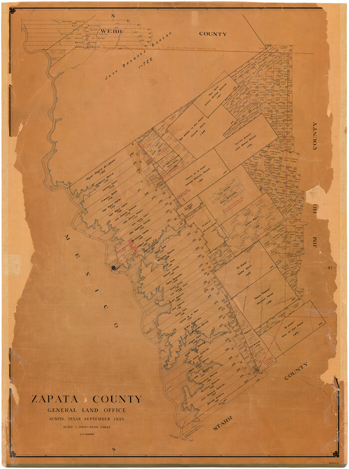

Print $40.00
- Digital $50.00
Zapata County
1935
Size 55.9 x 42.2 inches
Map/Doc 73333
Webb County Rolled Sketch 13
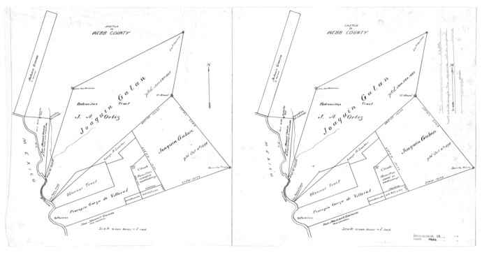

Print $20.00
- Digital $50.00
Webb County Rolled Sketch 13
Size 17.6 x 33.8 inches
Map/Doc 8177
Young County Working Sketch 17


Print $20.00
- Digital $50.00
Young County Working Sketch 17
1958
Size 20.7 x 28.6 inches
Map/Doc 62040
Parker County Working Sketch 7
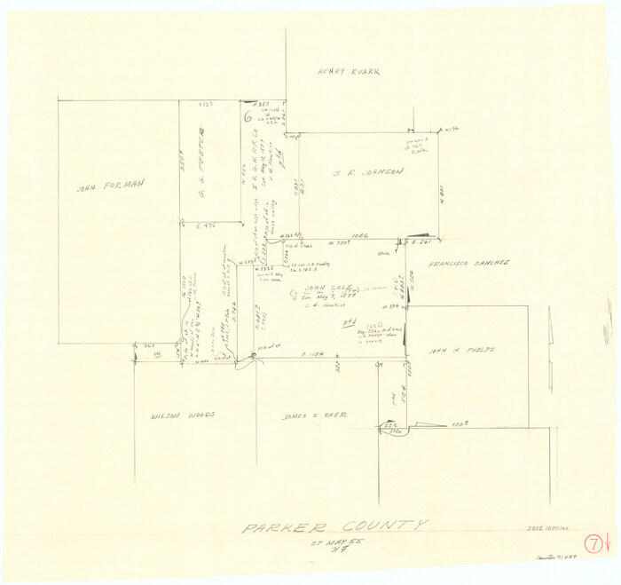

Print $20.00
- Digital $50.00
Parker County Working Sketch 7
1955
Map/Doc 71457
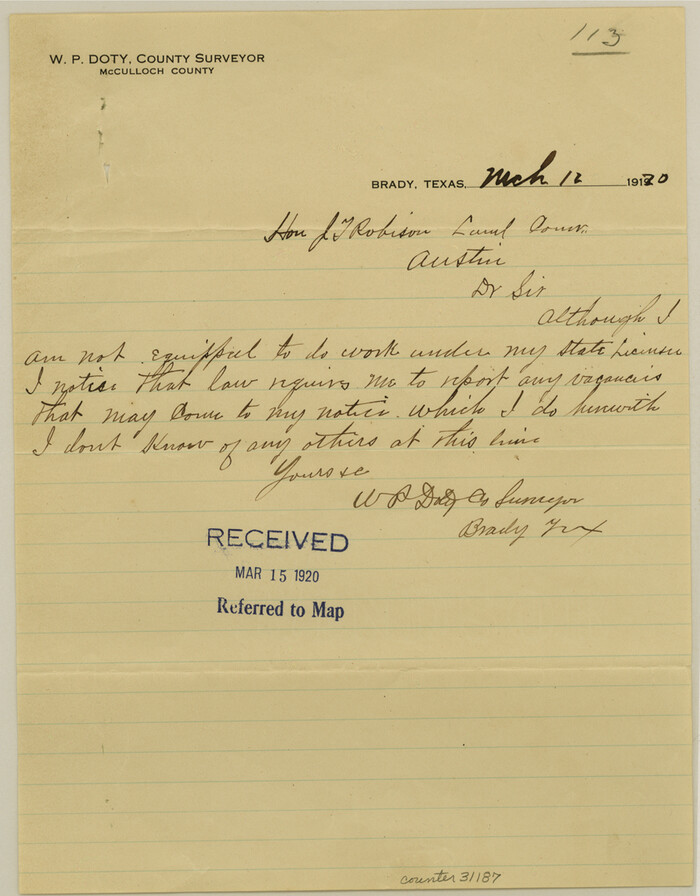
McCulloch County Sketch File 10

Print $8.00
- Digital $50.00
McCulloch County Sketch File 10
1920
Size 11.1 x 8.7 inches
Map/Doc 31187
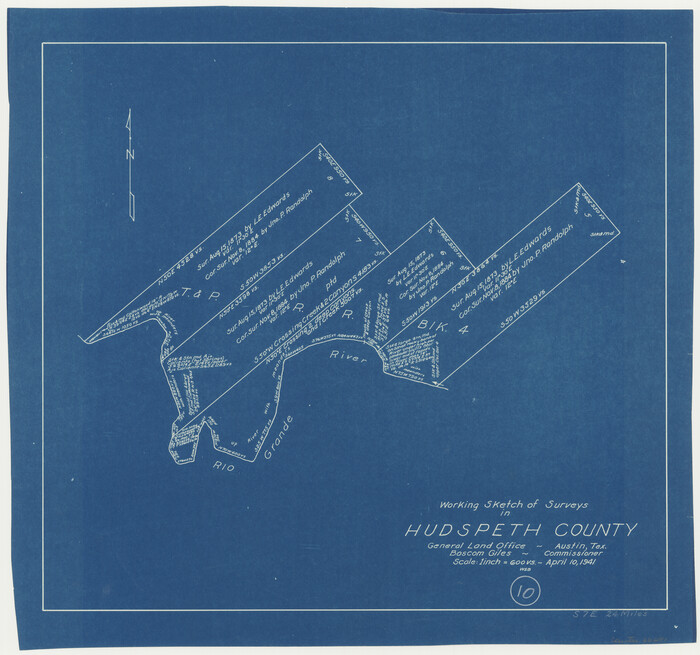
Hudspeth County Working Sketch 10

Print $20.00
- Digital $50.00
Hudspeth County Working Sketch 10
1941
Size 16.0 x 17.1 inches
Map/Doc 66291
[Sketch for Mineral Application 33721 - 33725 Incl. - Padre and Mustang Island]
![2878, [Sketch for Mineral Application 33721 - 33725 Incl. - Padre and Mustang Island], General Map Collection](https://historictexasmaps.com/wmedia_w700/maps/2878.tif.jpg)
![2878, [Sketch for Mineral Application 33721 - 33725 Incl. - Padre and Mustang Island], General Map Collection](https://historictexasmaps.com/wmedia_w700/maps/2878.tif.jpg)
Print $20.00
- Digital $50.00
[Sketch for Mineral Application 33721 - 33725 Incl. - Padre and Mustang Island]
1942
Size 29.8 x 22.7 inches
Map/Doc 2878
Guadalupe County Sketch File 15f


Print $10.00
- Digital $50.00
Guadalupe County Sketch File 15f
Size 12.7 x 8.2 inches
Map/Doc 24710
You may also like
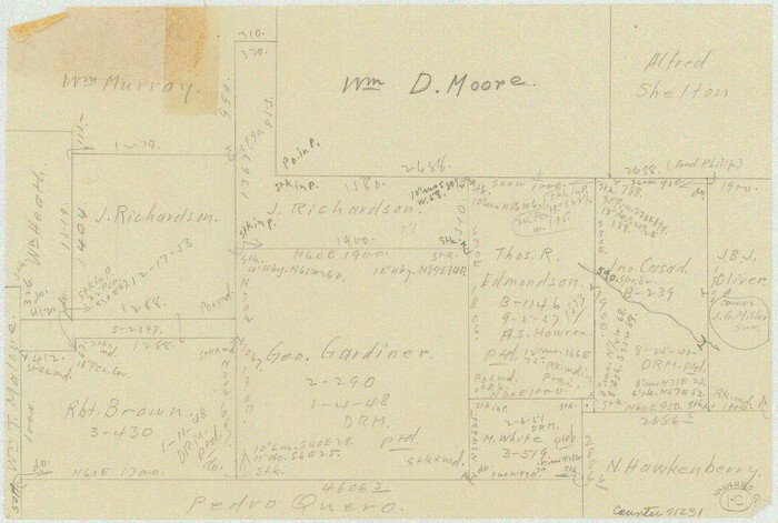
Navarro County Working Sketch 1c

Print $2.00
- Digital $50.00
Navarro County Working Sketch 1c
Size 7.1 x 10.6 inches
Map/Doc 71231
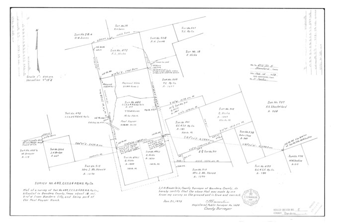
Bandera County Rolled Sketch 5

Print $20.00
- Digital $50.00
Bandera County Rolled Sketch 5
1973
Size 19.8 x 31.0 inches
Map/Doc 5117
Edwards County Sketch File 45
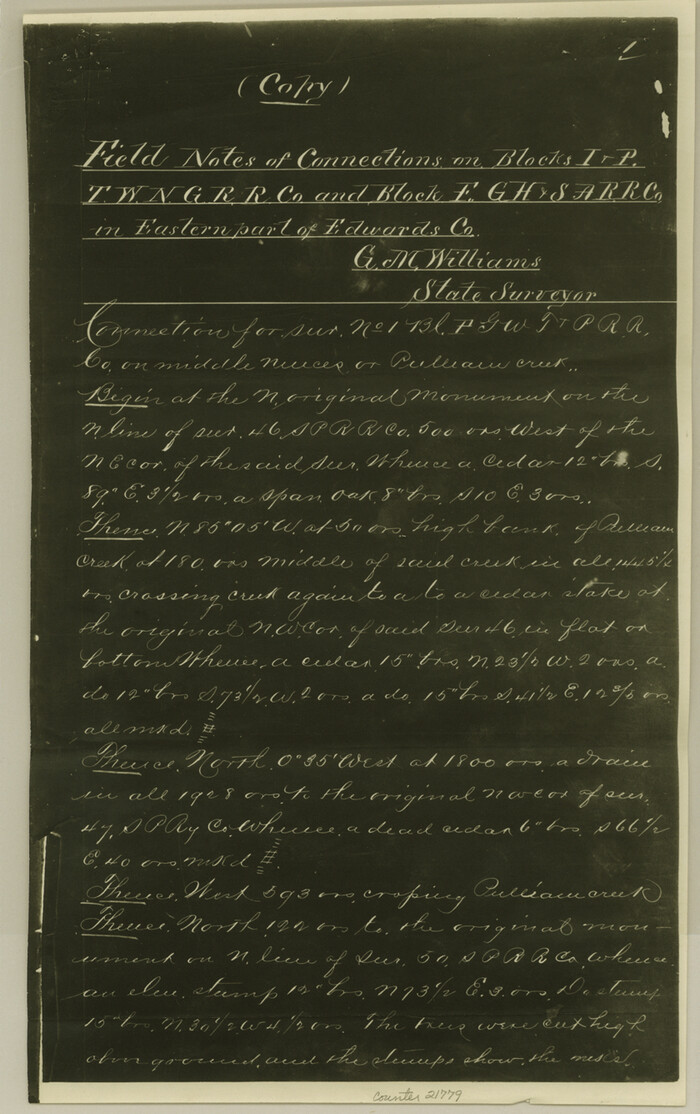

Print $26.00
- Digital $50.00
Edwards County Sketch File 45
1890
Size 13.3 x 8.4 inches
Map/Doc 21779
Haskell County


Print $20.00
- Digital $50.00
Haskell County
1933
Size 45.8 x 39.4 inches
Map/Doc 1852
Presidio County Sketch File 70a
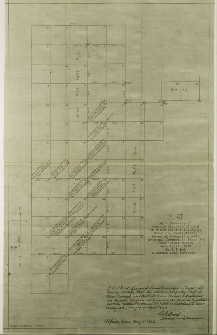

Print $6.00
- Digital $50.00
Presidio County Sketch File 70a
1923
Size 17.0 x 11.0 inches
Map/Doc 34669
Webb County Rolled Sketch 50
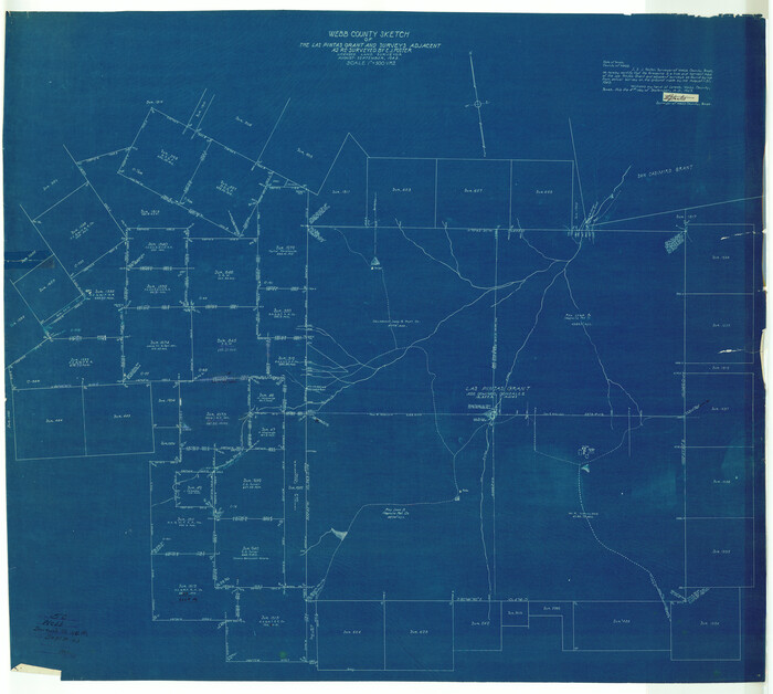

Print $20.00
- Digital $50.00
Webb County Rolled Sketch 50
1943
Size 38.2 x 42.6 inches
Map/Doc 10125
Terrell County Working Sketch 3
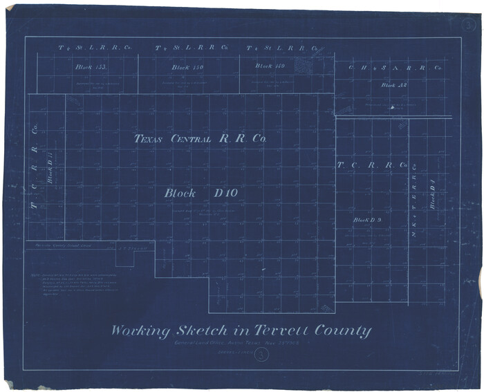

Print $20.00
- Digital $50.00
Terrell County Working Sketch 3
1908
Size 20.2 x 25.0 inches
Map/Doc 62151
Lavaca County Working Sketch 2


Print $20.00
- Digital $50.00
Lavaca County Working Sketch 2
1904
Size 19.2 x 31.2 inches
Map/Doc 70355
Dimmit County Sketch File 33
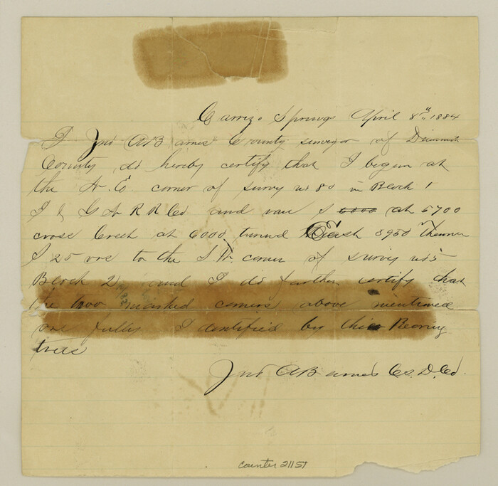

Print $4.00
- Digital $50.00
Dimmit County Sketch File 33
1884
Size 8.2 x 8.4 inches
Map/Doc 21151
Jeff Davis County Rolled Sketch 10
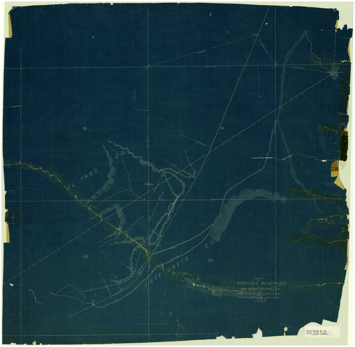

Print $6.00
- Digital $50.00
Jeff Davis County Rolled Sketch 10
1906
Size 29.6 x 30.1 inches
Map/Doc 6363
Colorado County Working Sketch 4
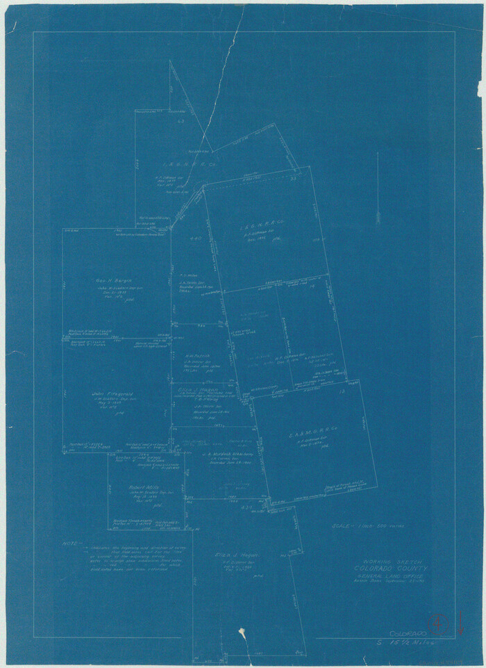

Print $20.00
- Digital $50.00
Colorado County Working Sketch 4
1913
Size 23.2 x 16.9 inches
Map/Doc 68104


