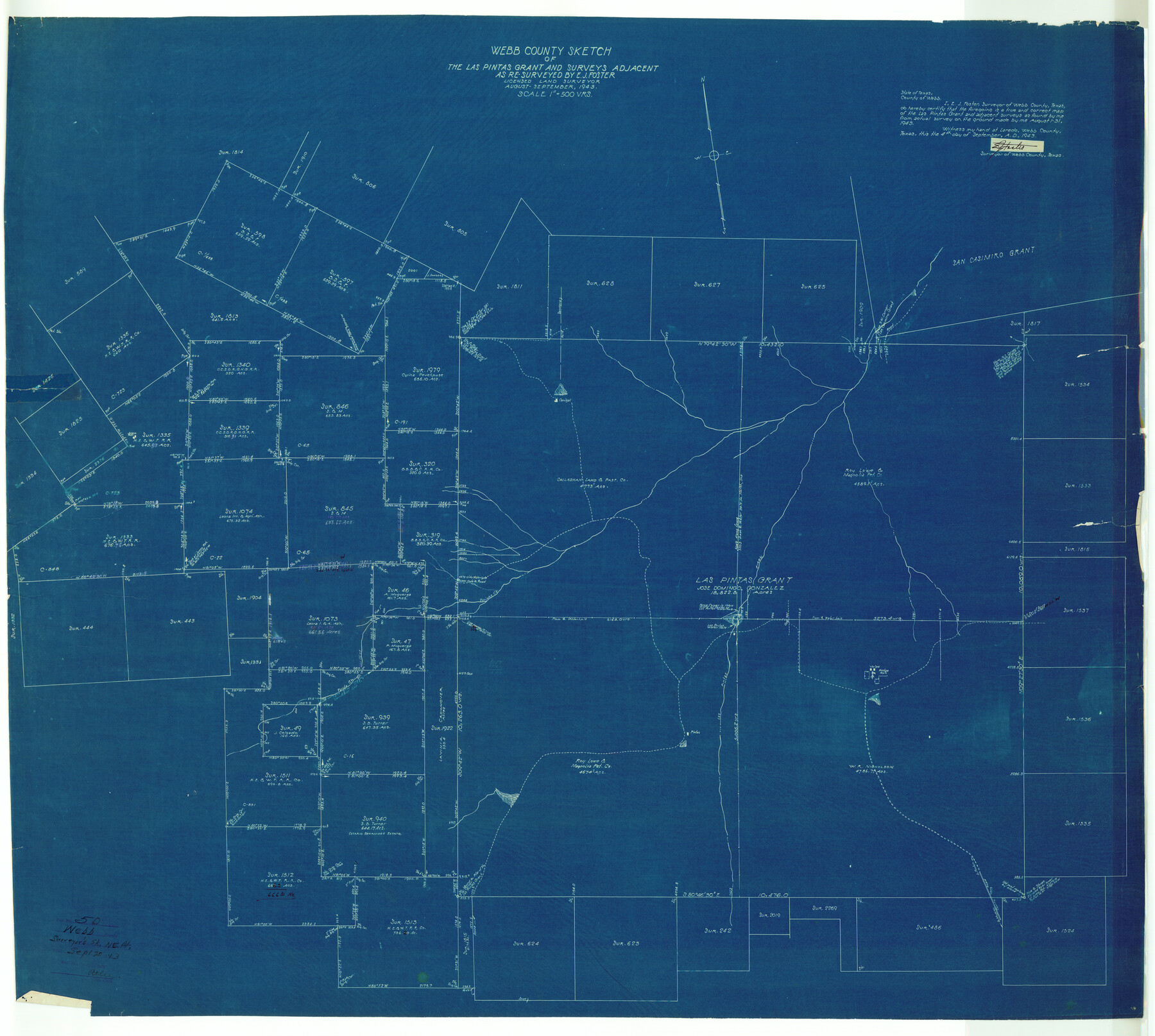
Webb County Rolled Sketch 50
Webb County sketch of the Las Pintas grant and surveys adjacent as re-surveyed
-
Map/Doc
10125
-
Collection
General Map Collection
-
Object Dates
1943/9/4 (Creation Date)
1943/9/20 (File Date)
1943 (Survey Date)
-
People and Organizations
E.J. Foster (Surveyor/Engineer)
-
Counties
Webb
-
Subjects
Surveying Rolled Sketch
-
Height x Width
38.2 x 42.6 inches
97.0 x 108.2 cm
-
Medium
blueprint/diazo
-
Scale
1" = 500 varas
Part of: General Map Collection
Harris County Sketch File 61

Print $20.00
- Digital $50.00
Harris County Sketch File 61
1927
Size 19.4 x 16.7 inches
Map/Doc 11659
[Beaumont, Sour Lake and Western Ry. Right of Way and Alignment - Frisco]
![64115, [Beaumont, Sour Lake and Western Ry. Right of Way and Alignment - Frisco], General Map Collection](https://historictexasmaps.com/wmedia_w700/maps/64115.tif.jpg)
Print $20.00
- Digital $50.00
[Beaumont, Sour Lake and Western Ry. Right of Way and Alignment - Frisco]
1910
Size 20.1 x 45.9 inches
Map/Doc 64115
Kleberg County Aerial Photograph Index Sheet 6

Print $20.00
- Digital $50.00
Kleberg County Aerial Photograph Index Sheet 6
1956
Size 19.3 x 23.5 inches
Map/Doc 83723
Duval County Rolled Sketch 13

Print $20.00
- Digital $50.00
Duval County Rolled Sketch 13
1937
Size 33.8 x 30.4 inches
Map/Doc 5735
Harris County Working Sketch 2

Print $20.00
- Digital $50.00
Harris County Working Sketch 2
Size 32.3 x 31.7 inches
Map/Doc 65894
Flight Mission No. DCL-6C, Frame 50, Kenedy County

Print $20.00
- Digital $50.00
Flight Mission No. DCL-6C, Frame 50, Kenedy County
1943
Size 18.7 x 22.4 inches
Map/Doc 85892
Montgomery County Sketch File 5

Print $5.00
- Digital $50.00
Montgomery County Sketch File 5
Size 9.8 x 16.4 inches
Map/Doc 31779
Jefferson County Sketch File 45

Print $20.00
- Digital $50.00
Jefferson County Sketch File 45
1933
Size 16.7 x 33.0 inches
Map/Doc 11879
San Patricio County Rolled Sketch 29C

Print $40.00
- Digital $50.00
San Patricio County Rolled Sketch 29C
Size 49.1 x 61.4 inches
Map/Doc 48871
Briscoe County Sketch File 10

Print $4.00
- Digital $50.00
Briscoe County Sketch File 10
1901
Size 11.2 x 8.7 inches
Map/Doc 16420
Jefferson County Working Sketch 4

Print $20.00
- Digital $50.00
Jefferson County Working Sketch 4
1930
Size 19.4 x 28.0 inches
Map/Doc 66547
Childress County Sketch File 17a

Print $96.00
- Digital $50.00
Childress County Sketch File 17a
Size 12.4 x 8.6 inches
Map/Doc 18316
You may also like
Wilson Empresario Colony. May 27, 1826

Print $20.00
Wilson Empresario Colony. May 27, 1826
2020
Size 19.4 x 21.6 inches
Map/Doc 96010

Flight Mission No. DQN-1K, Frame 110, Calhoun County

Print $20.00
- Digital $50.00
Flight Mission No. DQN-1K, Frame 110, Calhoun County
1953
Size 18.4 x 22.2 inches
Map/Doc 84177
El Paso County Rolled Sketch 52

Print $20.00
- Digital $50.00
El Paso County Rolled Sketch 52
1929
Size 18.5 x 24.4 inches
Map/Doc 5848
[Blocks 44 and 6T]
![91410, [Blocks 44 and 6T], Twichell Survey Records](https://historictexasmaps.com/wmedia_w700/maps/91410-1.tif.jpg)
Print $20.00
- Digital $50.00
[Blocks 44 and 6T]
Size 29.3 x 17.4 inches
Map/Doc 91410
Montague County Working Sketch 39

Print $20.00
- Digital $50.00
Montague County Working Sketch 39
1994
Size 34.4 x 45.0 inches
Map/Doc 71105
Sutton County Rolled Sketch 56

Print $20.00
- Digital $50.00
Sutton County Rolled Sketch 56
Size 23.6 x 28.0 inches
Map/Doc 7895
General Highway Map. Detail of Cities and Towns in Tarrant County, Texas. City Map, Fort Worth and vicinity, Tarrant County, Texas

Print $20.00
General Highway Map. Detail of Cities and Towns in Tarrant County, Texas. City Map, Fort Worth and vicinity, Tarrant County, Texas
1961
Size 18.2 x 24.9 inches
Map/Doc 79667

Van Zandt County Sketch File 12

Print $6.00
- Digital $50.00
Van Zandt County Sketch File 12
1858
Size 10.2 x 8.0 inches
Map/Doc 39399

