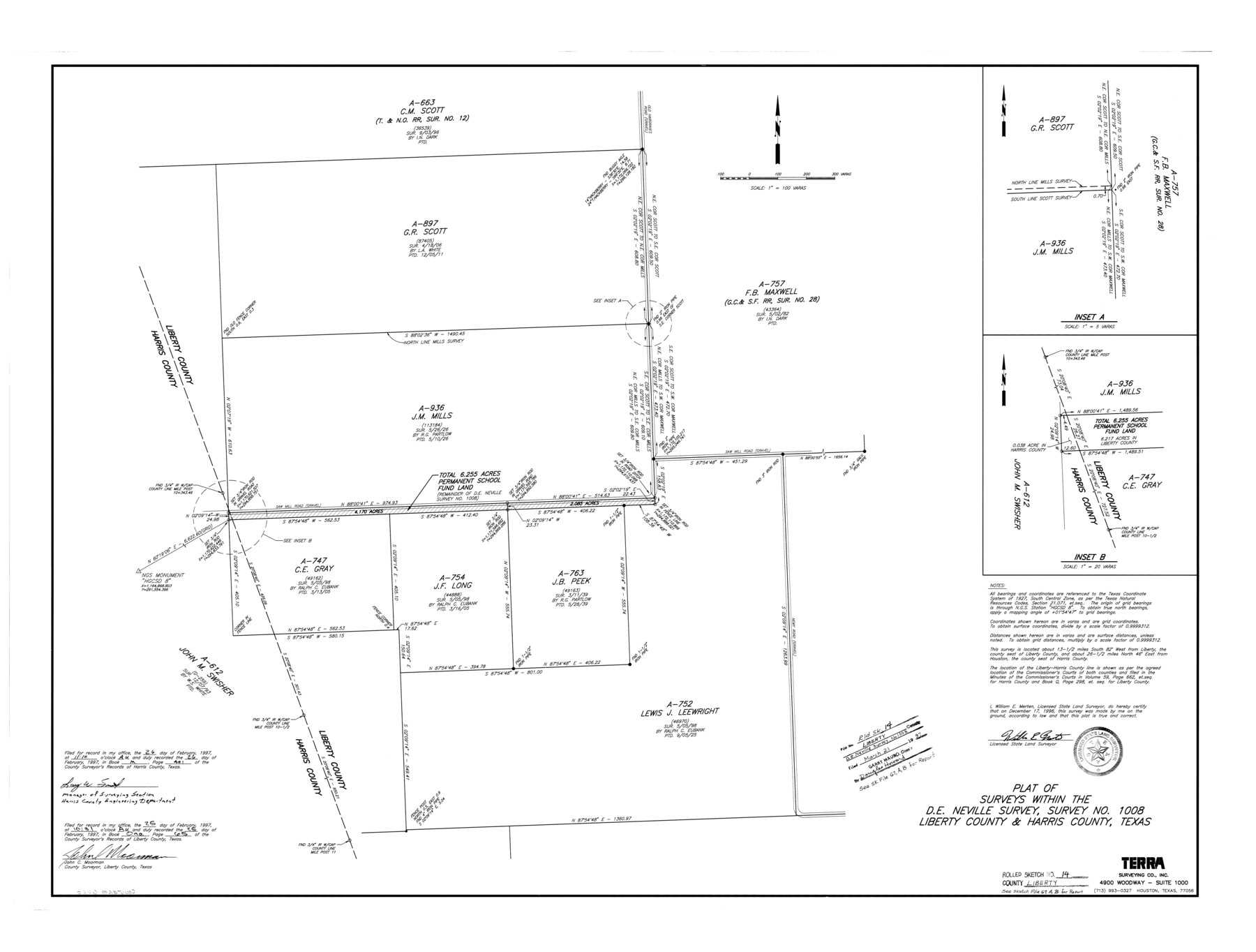
Liberty County Rolled Sketch 14
Plat of surveys within the D.E. Neville survey, survey no. 1008, Liberty County & Harris County, Texas
-
Map/Doc
6620
-
Collection
General Map Collection
-
Object Dates
1996/12/17 (Survey Date)
1997/3/21 (File Date)
-
People and Organizations
William E. Merten (Surveyor/Engineer)
-
Counties
Liberty Harris
-
Subjects
Surveying Rolled Sketch
-
Height x Width
33.2 x 43.9 inches
84.3 x 111.5 cm
-
Medium
mylar, print
-
Scale
1" = 100 varas
-
Comments
See Liberty County Sketch File 67 (30135) for report.
Related maps
Liberty County Sketch File 67

Print $28.00
- Digital $50.00
Liberty County Sketch File 67
1996
Size 11.3 x 8.8 inches
Map/Doc 30135
Part of: General Map Collection
Edwards County

Print $20.00
- Digital $50.00
Edwards County
1883
Size 28.2 x 17.9 inches
Map/Doc 3505
Midland County Working Sketch 6

Print $20.00
- Digital $50.00
Midland County Working Sketch 6
1950
Size 41.2 x 30.9 inches
Map/Doc 70986
Flight Mission No. CRC-3R, Frame 11, Chambers County

Print $20.00
- Digital $50.00
Flight Mission No. CRC-3R, Frame 11, Chambers County
1956
Size 18.7 x 22.4 inches
Map/Doc 84785
Hutchinson County Sketch File 30

Print $6.00
- Digital $50.00
Hutchinson County Sketch File 30
1927
Size 11.2 x 8.8 inches
Map/Doc 27264
Shackelford County Sketch File 11

Print $20.00
- Digital $50.00
Shackelford County Sketch File 11
1914
Size 16.8 x 17.0 inches
Map/Doc 12317
Freestone County Working Sketch 20

Print $40.00
- Digital $50.00
Freestone County Working Sketch 20
1980
Size 52.4 x 39.6 inches
Map/Doc 69262
Leon County Sketch File 34

Print $10.00
- Digital $50.00
Leon County Sketch File 34
1962
Size 11.1 x 8.7 inches
Map/Doc 94787
Map of Travis Co.

Print $40.00
- Digital $50.00
Map of Travis Co.
1850
Size 37.2 x 50.8 inches
Map/Doc 78387
Leon County Rolled Sketch 24

Print $20.00
- Digital $50.00
Leon County Rolled Sketch 24
1986
Size 34.7 x 39.6 inches
Map/Doc 6610
Newton County Sketch File 18

Print $24.00
- Digital $50.00
Newton County Sketch File 18
1886
Size 12.1 x 8.3 inches
Map/Doc 32393
Maps of Gulf Intracoastal Waterway, Texas - Sabine River to the Rio Grande and connecting waterways including ship channels

Print $20.00
- Digital $50.00
Maps of Gulf Intracoastal Waterway, Texas - Sabine River to the Rio Grande and connecting waterways including ship channels
1966
Size 14.5 x 22.2 inches
Map/Doc 61932
La Salle County Rolled Sketch 33

Print $20.00
- Digital $50.00
La Salle County Rolled Sketch 33
2015
Size 17.6 x 27.6 inches
Map/Doc 95306
You may also like
Right of Way and Track Map, The Missouri, Kansas and Texas Ry. of Texas operated by the Missouri, Kansas and Texas Ry. of Texas, Henrietta Division

Print $40.00
- Digital $50.00
Right of Way and Track Map, The Missouri, Kansas and Texas Ry. of Texas operated by the Missouri, Kansas and Texas Ry. of Texas, Henrietta Division
1918
Size 25.5 x 56.6 inches
Map/Doc 64070
Treaty to Resolve Pending Boundary Differences and Maintain the Rio Grande and Colorado River as the International Boundary Between the United States of American and Mexico

Print $20.00
- Digital $50.00
Treaty to Resolve Pending Boundary Differences and Maintain the Rio Grande and Colorado River as the International Boundary Between the United States of American and Mexico
1970
Size 11.1 x 35.3 inches
Map/Doc 83107
Flight Mission No. BRE-1P, Frame 97, Nueces County

Print $20.00
- Digital $50.00
Flight Mission No. BRE-1P, Frame 97, Nueces County
1956
Size 18.3 x 22.0 inches
Map/Doc 86668
Flight Mission No. BRE-1P, Frame 150, Nueces County

Print $20.00
- Digital $50.00
Flight Mission No. BRE-1P, Frame 150, Nueces County
1956
Size 18.6 x 22.1 inches
Map/Doc 86710
Brewster County Sketch File NS-8

Print $311.00
- Digital $50.00
Brewster County Sketch File NS-8
Size 15.0 x 9.1 inches
Map/Doc 15999
Jeff Davis County Working Sketch 5

Print $20.00
- Digital $50.00
Jeff Davis County Working Sketch 5
1920
Size 12.9 x 22.2 inches
Map/Doc 66500
Atascosa County

Print $20.00
- Digital $50.00
Atascosa County
1873
Size 22.2 x 23.1 inches
Map/Doc 3249
[Blocks P, D, and John H. Gibson]
![90446, [Blocks P, D, and John H. Gibson], Twichell Survey Records](https://historictexasmaps.com/wmedia_w700/maps/90446-2.tif.jpg)
Print $20.00
- Digital $50.00
[Blocks P, D, and John H. Gibson]
Size 28.2 x 19.5 inches
Map/Doc 90446
Hamilton County Working Sketch 5

Print $20.00
- Digital $50.00
Hamilton County Working Sketch 5
1941
Size 25.5 x 20.1 inches
Map/Doc 63343
Flight Mission No. CGI-1N, Frame 133, Cameron County

Print $20.00
- Digital $50.00
Flight Mission No. CGI-1N, Frame 133, Cameron County
1955
Size 18.5 x 22.1 inches
Map/Doc 84489
[Surveys along the Colorado and Navidad Rivers]
![60, [Surveys along the Colorado and Navidad Rivers], General Map Collection](https://historictexasmaps.com/wmedia_w700/maps/60.tif.jpg)
Print $20.00
- Digital $50.00
[Surveys along the Colorado and Navidad Rivers]
1840
Size 28.6 x 22.5 inches
Map/Doc 60
Detail Sketch of A.B. Robertson's Ranch and J.W. James' Ranch situated in Garza and Crosby Counties, Texas

Print $40.00
- Digital $50.00
Detail Sketch of A.B. Robertson's Ranch and J.W. James' Ranch situated in Garza and Crosby Counties, Texas
Size 51.8 x 34.1 inches
Map/Doc 93030