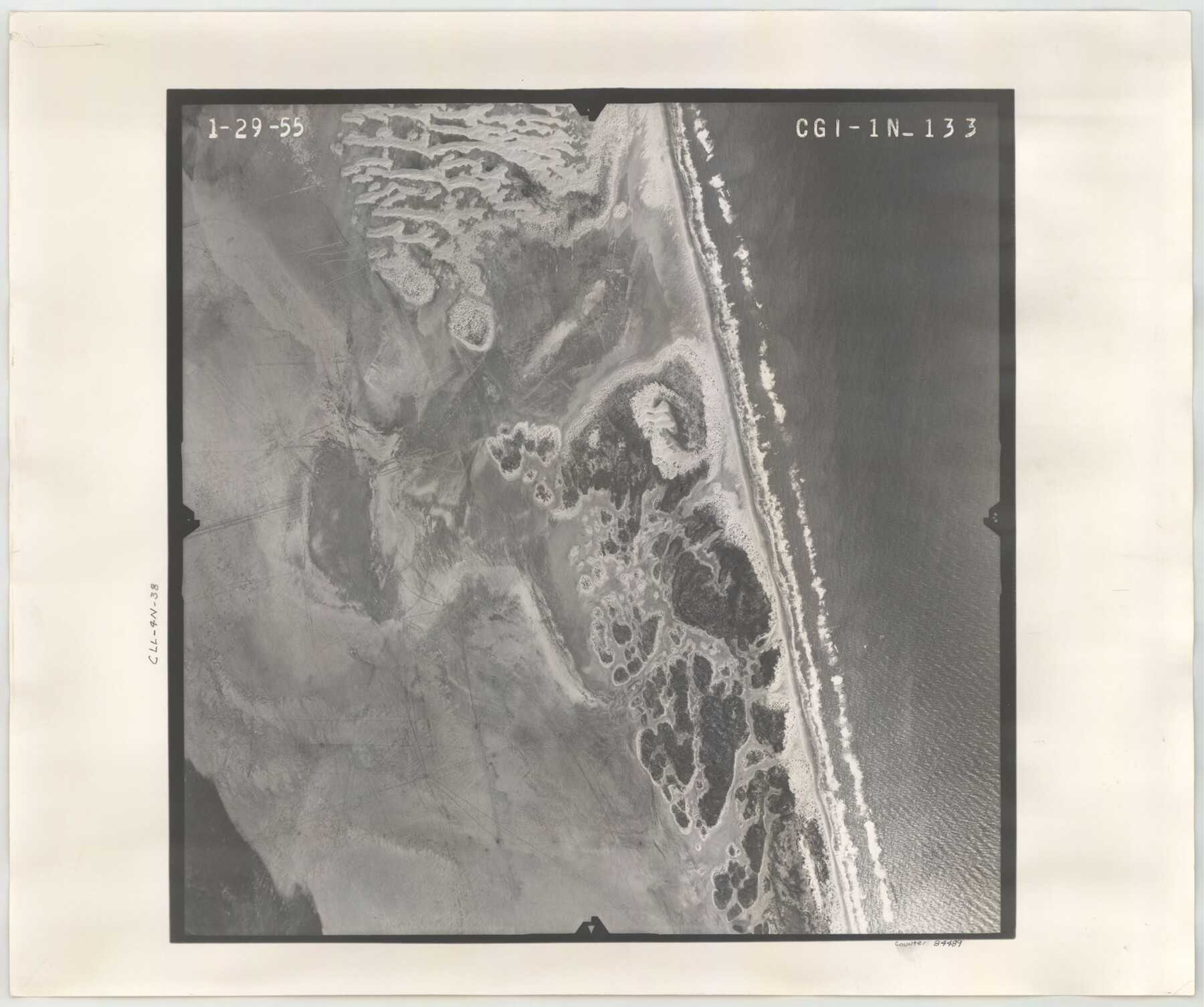
Flight Mission No. CGI-1N, Frame 133, Cameron County
CGI-1N-133
-
Map/Doc
84489
-
Collection
General Map Collection
-
Object Dates
1955/1/29 (Creation Date)
-
People and Organizations
U. S. Department of Agriculture (Publisher)
-
Counties
Cameron
-
Subjects
Aerial Photograph
-
Height x Width
18.5 x 22.1 inches
47.0 x 56.1 cm
-
Comments
Flown by Puckett Aerial Surveys, Inc. of Jackson, Mississippi.
Part of: General Map Collection
Galveston Harbor and Channel, Texas - Rehabilitation of Beachfront Groins - Present Construction

Print $4.00
- Digital $50.00
Galveston Harbor and Channel, Texas - Rehabilitation of Beachfront Groins - Present Construction
1967
Size 15.6 x 21.0 inches
Map/Doc 73619
Wheeler County Rolled Sketch 1

Print $20.00
- Digital $50.00
Wheeler County Rolled Sketch 1
1941
Size 43.9 x 23.7 inches
Map/Doc 10136
Brewster County Rolled Sketch 101

Print $40.00
- Digital $50.00
Brewster County Rolled Sketch 101
1927
Size 74.7 x 50.4 inches
Map/Doc 10649
Lubbock County Boundary File 9

Print $55.00
- Digital $50.00
Lubbock County Boundary File 9
Size 17.0 x 11.0 inches
Map/Doc 56530
Trinity County Boundary File 102

Print $14.00
- Digital $50.00
Trinity County Boundary File 102
Size 9.2 x 4.6 inches
Map/Doc 59480
Chambers County Rolled Sketch 20

Print $1171.00
- Digital $50.00
Chambers County Rolled Sketch 20
Size 10.7 x 16.2 inches
Map/Doc 43987
Flight Mission No. BRE-1P, Frame 121, Nueces County

Print $20.00
- Digital $50.00
Flight Mission No. BRE-1P, Frame 121, Nueces County
1956
Size 18.6 x 22.7 inches
Map/Doc 86687
Travis County Sketch File 4A

Print $8.00
- Digital $50.00
Travis County Sketch File 4A
1855
Size 8.4 x 11.2 inches
Map/Doc 38280
Terrell County Sketch File 31

Print $20.00
- Digital $50.00
Terrell County Sketch File 31
1940
Size 27.0 x 25.1 inches
Map/Doc 12426
Flight Mission No. BRE-2P, Frame 34, Nueces County

Print $20.00
- Digital $50.00
Flight Mission No. BRE-2P, Frame 34, Nueces County
1956
Size 18.7 x 22.6 inches
Map/Doc 86736
Map of Leon County

Print $20.00
- Digital $50.00
Map of Leon County
1867
Size 25.5 x 23.1 inches
Map/Doc 3809
United States of America corrected & improved from the best authorities

Print $20.00
- Digital $50.00
United States of America corrected & improved from the best authorities
1820
Size 17.5 x 26.3 inches
Map/Doc 93953
You may also like
Montgomery County Working Sketch 54

Print $20.00
- Digital $50.00
Montgomery County Working Sketch 54
1961
Size 30.6 x 28.3 inches
Map/Doc 71161
Coleman County Working Sketch 10

Print $20.00
- Digital $50.00
Coleman County Working Sketch 10
1950
Size 30.1 x 29.1 inches
Map/Doc 68076
Lamar County Sketch File 16

Print $166.00
- Digital $50.00
Lamar County Sketch File 16
2013
Size 11.0 x 8.5 inches
Map/Doc 93654
Marion County Working Sketch 46

Print $20.00
- Digital $50.00
Marion County Working Sketch 46
2011
Size 21.4 x 29.1 inches
Map/Doc 90032
Water-Shed of the Colorado River

Print $40.00
- Digital $50.00
Water-Shed of the Colorado River
1925
Size 37.1 x 79.8 inches
Map/Doc 65261
Red River Co.

Print $20.00
- Digital $50.00
Red River Co.
1905
Size 46.7 x 39.6 inches
Map/Doc 66994
Lampasas County Working Sketch 15

Print $20.00
- Digital $50.00
Lampasas County Working Sketch 15
1975
Size 28.5 x 23.8 inches
Map/Doc 70292
Crosby County Rolled Sketch 2

Print $20.00
- Digital $50.00
Crosby County Rolled Sketch 2
1980
Size 24.7 x 18.7 inches
Map/Doc 5642
Old Miscellaneous File 3

Print $4.00
- Digital $50.00
Old Miscellaneous File 3
1839
Size 8.8 x 8.2 inches
Map/Doc 75414
Real County Sketch File 12

Print $20.00
- Digital $50.00
Real County Sketch File 12
1932
Size 13.9 x 19.2 inches
Map/Doc 12231
General Highway Map, Howard County, Texas

Print $20.00
General Highway Map, Howard County, Texas
1961
Size 18.1 x 24.6 inches
Map/Doc 79526
Flight Mission No. DCL-7C, Frame 68, Kenedy County

Print $20.00
- Digital $50.00
Flight Mission No. DCL-7C, Frame 68, Kenedy County
1943
Size 15.3 x 15.2 inches
Map/Doc 86054