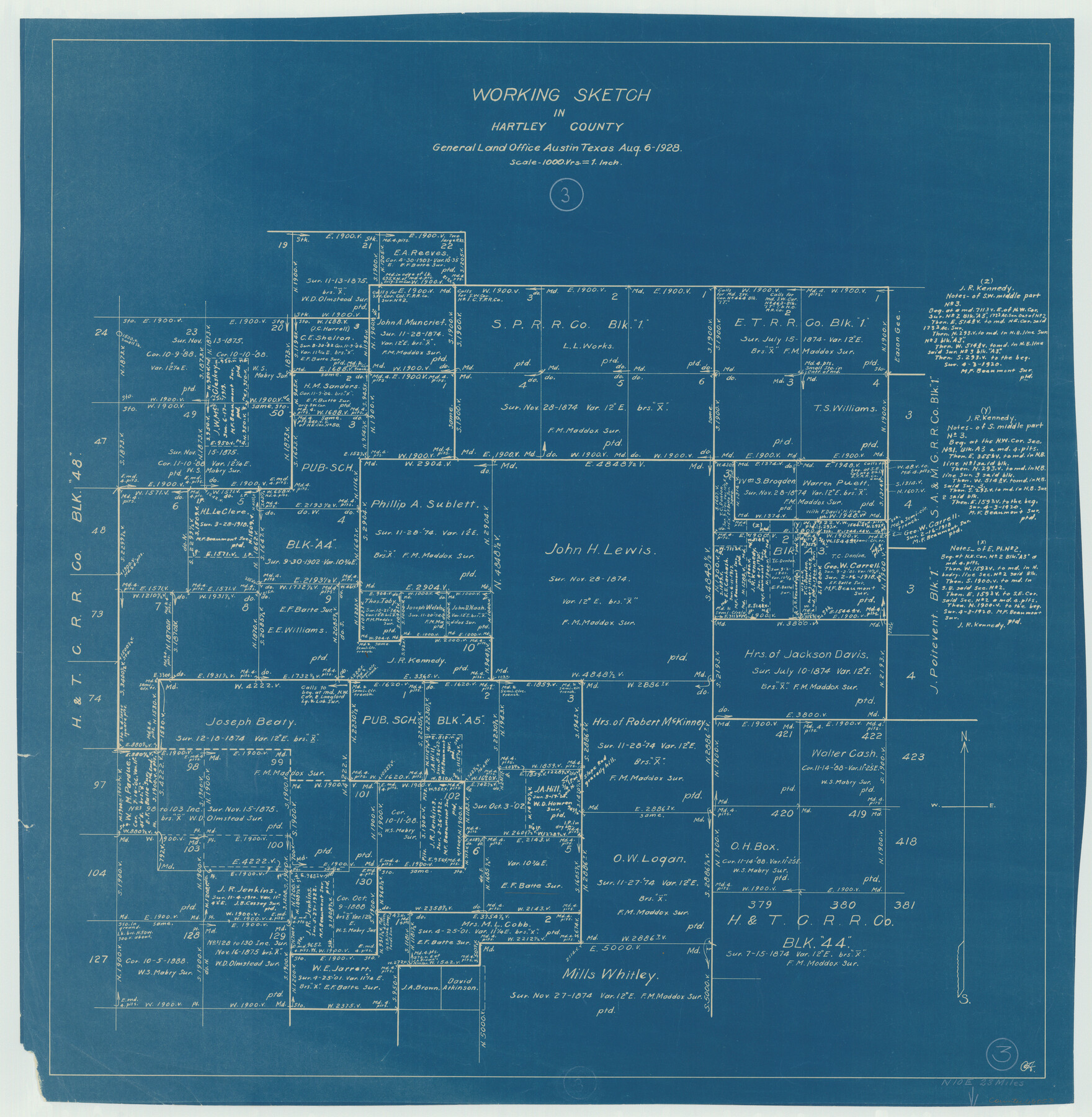
Hartley County Working Sketch 3
- 
                          Map/Doc
66053
 - 
                            Collection
General Map Collection
 - 
                            Object Dates
8/6/1928 (Creation Date)
 - 
                            Counties
Hartley
 - 
                            Subjects
Surveying Working Sketch
 - 
                            Height x Width
24.6 x 24.0 inches
62.5 x 61.0 cm
 - 
                            Scale
1" = 1000 varas
 
Part of: General Map Collection
            Terrell County Working Sketch 8a


                                            Print $20.00                    
                                             -                         Digital $50.00                                    
                Terrell County Working Sketch 8a
1917
Size 14.5 x 19.4 inches
                                Map/Doc 62157
            
            Panola County Sketch File 25


                                            Print $20.00                    
                                             -                         Digital $50.00                                    
                Panola County Sketch File 25
1946
Size 24.1 x 21.4 inches
                                Map/Doc 12140
            
            Potter County Working Sketch 3


                                            Print $20.00                    
                                             -                         Digital $50.00                                    
                Potter County Working Sketch 3
1920
Size 42.1 x 16.8 inches
                                Map/Doc 71663
            
            Reeves County Sketch File 27


                                            Print $14.00                    
                                             -                         Digital $50.00                                    
                Reeves County Sketch File 27
1982
Size 11.5 x 8.9 inches
                                Map/Doc 35228
            
            Foard County Sketch File 29


                                            Print $20.00                    
                                             -                         Digital $50.00                                    
                Foard County Sketch File 29
Size 18.9 x 29.4 inches
                                Map/Doc 11494
            
            Matagorda County Working Sketch 17


                                            Print $20.00                    
                                             -                         Digital $50.00                                    
                Matagorda County Working Sketch 17
1961
Size 31.2 x 42.2 inches
                                Map/Doc 70875
            
            Fort Bend County Working Sketch 5


                                            Print $20.00                    
                                             -                         Digital $50.00                                    
                Fort Bend County Working Sketch 5
1915
Size 14.5 x 20.9 inches
                                Map/Doc 69211
            
            Duval County Boundary File 3a


                                            Print $8.00                    
                                             -                         Digital $50.00                                    
                Duval County Boundary File 3a
Size 12.7 x 8.0 inches
                                Map/Doc 52726
            
            Galveston County Rolled Sketch 43A


                                            Print $20.00                    
                                             -                         Digital $50.00                                    
                Galveston County Rolled Sketch 43A
Size 16.2 x 20.3 inches
                                Map/Doc 76005
            
            A Comprehensive Atlas Geographical, Historical & Commercial


            A Comprehensive Atlas Geographical, Historical & Commercial
Size 13.0 x 10.7 inches
                                Map/Doc 95959
            
            Flight Mission No. BRA-9M, Frame 70, Jefferson County


                                            Print $20.00                    
                                             -                         Digital $50.00                                    
                Flight Mission No. BRA-9M, Frame 70, Jefferson County
1953
Size 18.6 x 22.5 inches
                                Map/Doc 85653
            
            Fort Bend County State Real Property Sketch 8


                                            Print $40.00                    
                                             -                         Digital $50.00                                    
                Fort Bend County State Real Property Sketch 8
1985
Size 35.0 x 43.6 inches
                                Map/Doc 61682
            You may also like
            Fisher County Working Sketch 7


                                            Print $20.00                    
                                             -                         Digital $50.00                                    
                Fisher County Working Sketch 7
1944
Size 36.7 x 28.9 inches
                                Map/Doc 69141
            
            Map of Kinney County


                                            Print $20.00                    
                                             -                         Digital $50.00                                    
                Map of Kinney County
1875
Size 25.9 x 34.2 inches
                                Map/Doc 3773
            
            Meanders of Sulphur Fork of Red River, Red River County, Texas


                                            Print $2.00                    
                                             -                         Digital $50.00                                    
                Meanders of Sulphur Fork of Red River, Red River County, Texas
1841
Size 9.9 x 8.1 inches
                                Map/Doc 65792
            
            Kimble County Sketch File 43


                                            Print $16.00                    
                                             -                         Digital $50.00                                    
                Kimble County Sketch File 43
2021
Size 11.0 x 8.5 inches
                                Map/Doc 96811
            
            Orange County Sketch File 8


                                            Print $6.00                    
                                             -                         Digital $50.00                                    
                Orange County Sketch File 8
Size 11.0 x 16.1 inches
                                Map/Doc 33311
            
            Bastrop County, From McDade to Austin, Texas, Houston & Texas Central Railroad


                                            Print $20.00                    
                                             -                         Digital $50.00                                    
                Bastrop County, From McDade to Austin, Texas, Houston & Texas Central Railroad
1939
Size 26.6 x 15.5 inches
                                Map/Doc 64364
            
            Copy of Surveyor's Field Book, Morris Browning - In Blocks 7, 5 & 4, I&GNRRCo., Hutchinson and Carson Counties, Texas


                                            Print $2.00                    
                                             -                         Digital $50.00                                    
                Copy of Surveyor's Field Book, Morris Browning - In Blocks 7, 5 & 4, I&GNRRCo., Hutchinson and Carson Counties, Texas
1888
Size 6.9 x 8.8 inches
                                Map/Doc 62260
            
            Knox County Sketch File 7


                                            Print $40.00                    
                                             -                         Digital $50.00                                    
                Knox County Sketch File 7
1885
Size 32.2 x 19.9 inches
                                Map/Doc 11955
            
            [Surveys near the Guadalupe River]


                                            Print $2.00                    
                                             -                         Digital $50.00                                    
                [Surveys near the Guadalupe River]
1847
Size 8.8 x 7.9 inches
                                Map/Doc 288
            
            [Section 25, H. & G. N. Block 1 showing Duck Creek]


                                            Print $20.00                    
                                             -                         Digital $50.00                                    
                [Section 25, H. & G. N. Block 1 showing Duck Creek]
Size 24.9 x 27.9 inches
                                Map/Doc 90936
            
            Cass County Working Sketch 43


                                            Print $20.00                    
                                             -                         Digital $50.00                                    
                Cass County Working Sketch 43
1988
Size 25.6 x 29.6 inches
                                Map/Doc 67946
            
            Atascosa County Sketch File 6


                                            Print $26.00                    
                                             -                         Digital $50.00                                    
                Atascosa County Sketch File 6
Size 12.2 x 7.8 inches
                                Map/Doc 13752