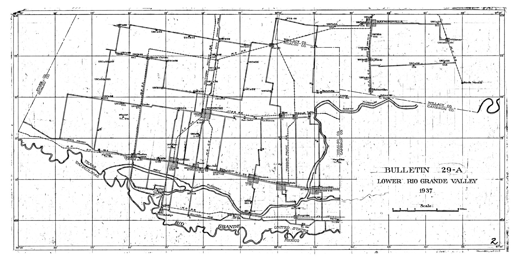
Rio Grande, Lower Rio Grande Valley/Bulletin 29-A
-
Map/Doc
65103
-
Collection
General Map Collection
-
Object Dates
1937 (Creation Date)
-
People and Organizations
Texas State Reclamation Department (Publisher)
-
Counties
Hidalgo Cameron Willacy
-
Subjects
River Surveys Topographic
-
Height x Width
12.1 x 24.0 inches
30.7 x 61.0 cm
Part of: General Map Collection
Liberty County Rolled Sketch 18

Print $11.00
- Digital $50.00
Liberty County Rolled Sketch 18
1859
Size 10.1 x 15.2 inches
Map/Doc 46540
Concho County Sketch File 8 1/2

Print $8.00
- Digital $50.00
Concho County Sketch File 8 1/2
1887
Size 8.4 x 10.6 inches
Map/Doc 19134
Brazos County Working Sketch 1

Print $20.00
- Digital $50.00
Brazos County Working Sketch 1
1911
Size 26.5 x 16.3 inches
Map/Doc 67476
Lake Corpus Christi and a city map of Mathis, Texas [Verso]
![94171, Lake Corpus Christi and a city map of Mathis, Texas [Verso], General Map Collection](https://historictexasmaps.com/wmedia_w700/maps/94171.tif.jpg)
Lake Corpus Christi and a city map of Mathis, Texas [Verso]
1984
Size 29.3 x 22.9 inches
Map/Doc 94171
[Surveys along the Frio River at the confluence of the Sabinal River]
![78372, [Surveys along the Frio River at the confluence of the Sabinal River], General Map Collection](https://historictexasmaps.com/wmedia_w700/maps/78372.tif.jpg)
Print $2.00
- Digital $50.00
[Surveys along the Frio River at the confluence of the Sabinal River]
1845
Size 6.2 x 8.9 inches
Map/Doc 78372
Terrell County Working Sketch 70

Print $20.00
- Digital $50.00
Terrell County Working Sketch 70
1979
Size 39.0 x 36.5 inches
Map/Doc 69591
Nueces County Rolled Sketch 27B

Print $108.00
- Digital $50.00
Nueces County Rolled Sketch 27B
1948
Size 9.8 x 15.1 inches
Map/Doc 47604
Angelina County Sketch File 27

Print $10.00
- Digital $50.00
Angelina County Sketch File 27
1890
Size 14.1 x 8.7 inches
Map/Doc 13073
Harris County Boundary File 39 (19)

Print $4.00
- Digital $50.00
Harris County Boundary File 39 (19)
Size 12.6 x 7.9 inches
Map/Doc 54361
Ector County Working Sketch 26

Print $20.00
- Digital $50.00
Ector County Working Sketch 26
1961
Size 30.8 x 43.6 inches
Map/Doc 68869
Newton County Rolled Sketch 12

Print $40.00
- Digital $50.00
Newton County Rolled Sketch 12
1952
Size 38.4 x 56.1 inches
Map/Doc 9577
Map of Limestone County

Print $20.00
- Digital $50.00
Map of Limestone County
1877
Size 24.1 x 26.9 inches
Map/Doc 83012
You may also like
[Pecos County Sketch]
![444, [Pecos County Sketch], Maddox Collection](https://historictexasmaps.com/wmedia_w700/maps/444.tif.jpg)
Print $20.00
- Digital $50.00
[Pecos County Sketch]
1880
Size 38.5 x 31.3 inches
Map/Doc 444
La Salle County Sketch File 3

Print $44.00
- Digital $50.00
La Salle County Sketch File 3
1875
Size 15.8 x 29.6 inches
Map/Doc 11978
Burleson County Working Sketch 8

Print $20.00
- Digital $50.00
Burleson County Working Sketch 8
1980
Size 29.3 x 23.2 inches
Map/Doc 67727
General Highway Map, Dickens County, Texas

Print $20.00
General Highway Map, Dickens County, Texas
1961
Size 18.2 x 24.9 inches
Map/Doc 79443
Crockett County Working Sketch 6

Print $20.00
- Digital $50.00
Crockett County Working Sketch 6
Size 20.7 x 21.7 inches
Map/Doc 68339
Texas 1971 Official State Highway Map

Digital $50.00
Texas 1971 Official State Highway Map
Size 27.9 x 36.3 inches
Map/Doc 94315
Brazoria County Boundary File 12 1/2

Print $10.00
- Digital $50.00
Brazoria County Boundary File 12 1/2
Size 9.0 x 7.3 inches
Map/Doc 50733
Kimble County Sketch File 29 and 30

Print $28.00
- Digital $50.00
Kimble County Sketch File 29 and 30
1936
Size 15.4 x 24.6 inches
Map/Doc 11928
General Highway Map, Nueces County, Texas

Print $20.00
General Highway Map, Nueces County, Texas
1940
Size 24.6 x 18.4 inches
Map/Doc 79210
Flight Mission No. CLL-1N, Frame 157, Willacy County

Print $20.00
- Digital $50.00
Flight Mission No. CLL-1N, Frame 157, Willacy County
1954
Size 18.3 x 22.0 inches
Map/Doc 87048
Randall County Sketch File 9

Print $22.00
- Digital $50.00
Randall County Sketch File 9
Size 13.9 x 17.0 inches
Map/Doc 34970
