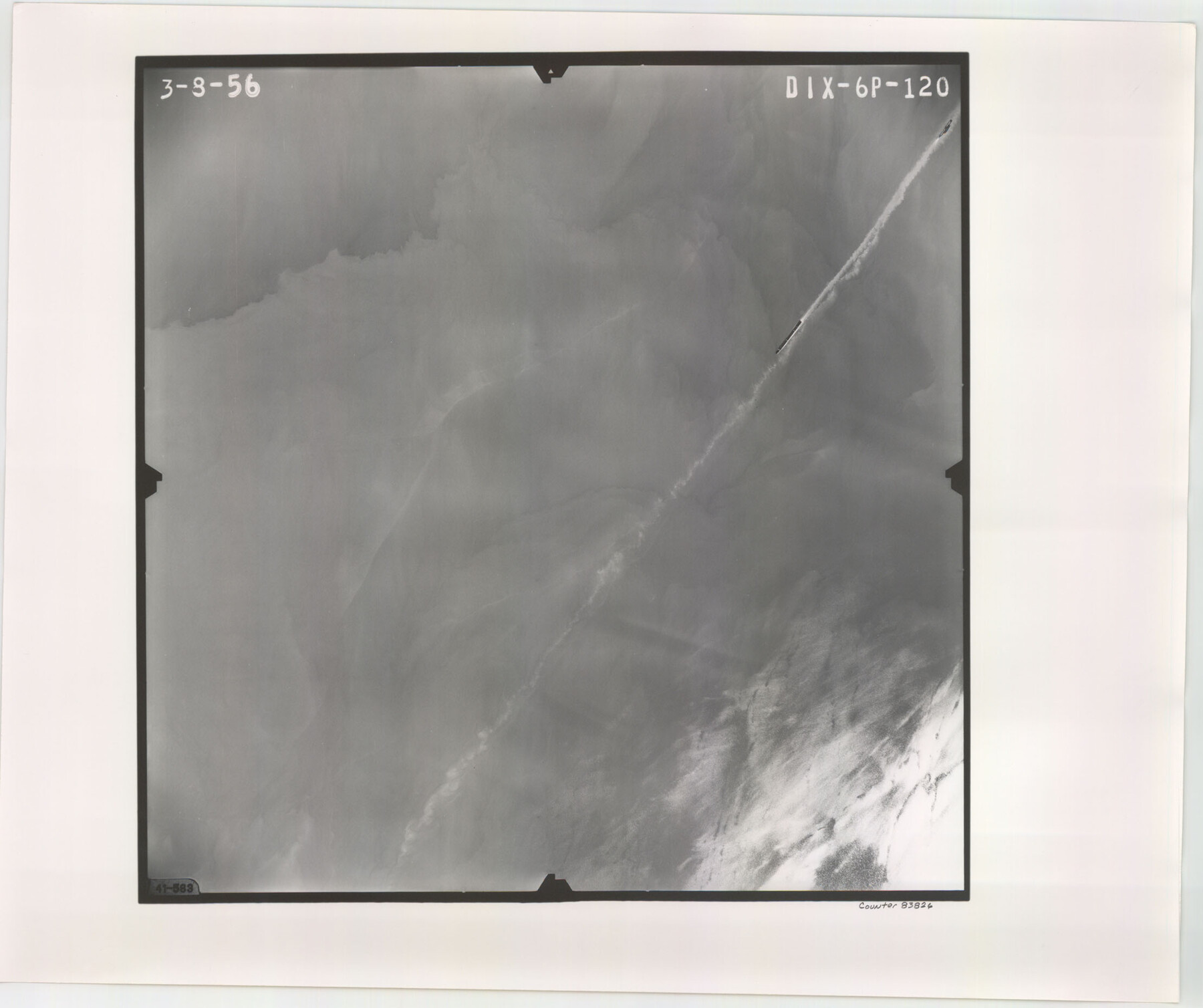
Flight Mission No. DIX-6P, Frame 120, Aransas County
DIX-6P-120
-
Map/Doc
83826
-
Collection
General Map Collection
-
Object Dates
1956/3/8 (Creation Date)
-
People and Organizations
U. S. Department of Agriculture (Publisher)
-
Counties
Aransas
-
Subjects
Aerial Photograph
-
Height x Width
18.7 x 22.2 inches
47.5 x 56.4 cm
-
Comments
Flown by V. L. Beavers and Associates of San Antonio, Texas.
Part of: General Map Collection
Presidio County Working Sketch 46

Print $40.00
- Digital $50.00
Presidio County Working Sketch 46
1947
Size 36.8 x 59.0 inches
Map/Doc 71723
Louisiana and Texas Intracoastal Waterway Proposed Extension to Rio Grande Valley

Print $20.00
- Digital $50.00
Louisiana and Texas Intracoastal Waterway Proposed Extension to Rio Grande Valley
1941
Size 28.4 x 41.3 inches
Map/Doc 61890
Brazoria County NRC Article 33.136 Sketch 26

Print $24.00
Brazoria County NRC Article 33.136 Sketch 26
2025
Map/Doc 97471
Galveston County Sketch File 29

Print $40.00
- Digital $50.00
Galveston County Sketch File 29
Size 35.1 x 29.3 inches
Map/Doc 10454
Brazoria County Sketch File 28a

Print $40.00
- Digital $50.00
Brazoria County Sketch File 28a
1913
Size 21.0 x 15.2 inches
Map/Doc 10954
Travis County Sketch File 56

Print $6.00
- Digital $50.00
Travis County Sketch File 56
1945
Size 14.2 x 9.0 inches
Map/Doc 38398

Cass County Working Sketch 46

Print $20.00
- Digital $50.00
Cass County Working Sketch 46
1989
Size 26.8 x 30.6 inches
Map/Doc 67949
Mason County Working Sketch 15

Print $40.00
- Digital $50.00
Mason County Working Sketch 15
1976
Size 61.9 x 45.4 inches
Map/Doc 70851
Map of the Reconnaissance in Texas by Lieuts Blake & Meade of the Corps of Topl. Engrs.

Print $20.00
- Digital $50.00
Map of the Reconnaissance in Texas by Lieuts Blake & Meade of the Corps of Topl. Engrs.
1845
Size 27.7 x 18.2 inches
Map/Doc 72893
McLennan County Sketch File 11

Print $8.00
- Digital $50.00
McLennan County Sketch File 11
1860
Size 9.0 x 7.7 inches
Map/Doc 31262
Outer Continental Shelf Leasing Maps (Louisiana Offshore Operations)

Print $20.00
- Digital $50.00
Outer Continental Shelf Leasing Maps (Louisiana Offshore Operations)
1954
Size 12.6 x 14.4 inches
Map/Doc 76113
You may also like
Map of the State of Texas from the latest authorities

Print $20.00
- Digital $50.00
Map of the State of Texas from the latest authorities
1854
Size 13.2 x 16.3 inches
Map/Doc 93761
[Block XR, Capitol Leagues 161, 162, 164, 174, 178, 179, and 180]
![90729, [Block XR, Capitol Leagues 161, 162, 164, 174, 178, 179, and 180], Twichell Survey Records](https://historictexasmaps.com/wmedia_w700/maps/90729-1.tif.jpg)
Print $20.00
- Digital $50.00
[Block XR, Capitol Leagues 161, 162, 164, 174, 178, 179, and 180]
1908
Size 13.1 x 21.6 inches
Map/Doc 90729
Map of the Middle States designed to accompany Smith's Geography for Schools

Print $20.00
- Digital $50.00
Map of the Middle States designed to accompany Smith's Geography for Schools
1850
Size 19.4 x 12.2 inches
Map/Doc 93887
Montague County Sketch File 28

Print $4.00
- Digital $50.00
Montague County Sketch File 28
1963
Size 18.7 x 22.6 inches
Map/Doc 12110
Baylor County Working Sketch 11

Print $20.00
- Digital $50.00
Baylor County Working Sketch 11
1957
Size 20.0 x 47.8 inches
Map/Doc 67296
Dickens County Sketch File H2

Print $4.00
- Digital $50.00
Dickens County Sketch File H2
Size 12.7 x 8.1 inches
Map/Doc 20873
Culberson County Rolled Sketch 53

Print $20.00
- Digital $50.00
Culberson County Rolled Sketch 53
1968
Size 36.7 x 47.2 inches
Map/Doc 8756
Crane County Boundary File 1

Print $6.00
- Digital $50.00
Crane County Boundary File 1
Size 14.1 x 8.7 inches
Map/Doc 51957
Map Showing Survey and Subdivision of the Wendlandt Property in Outlot 4, Division "Z"

Print $3.00
- Digital $50.00
Map Showing Survey and Subdivision of the Wendlandt Property in Outlot 4, Division "Z"
1910
Size 10.8 x 17.7 inches
Map/Doc 508
Wilson County Sketch File 12

Print $8.00
- Digital $50.00
Wilson County Sketch File 12
1841
Size 14.1 x 8.6 inches
Map/Doc 40425
Jim Hogg County Working Sketch Graphic Index

Print $20.00
- Digital $50.00
Jim Hogg County Working Sketch Graphic Index
1962
Size 40.0 x 28.7 inches
Map/Doc 76596
