[Sketch for Mineral Application 24072, San Jacinto River]
K-1-40
-
Map/Doc
65588
-
Collection
General Map Collection
-
Object Dates
1929 (Creation Date)
-
Counties
Montgomery
-
Subjects
Energy Offshore Submerged Area
-
Height x Width
19.6 x 13.7 inches
49.8 x 34.8 cm
Part of: General Map Collection
Travis County Rolled Sketch 30


Print $20.00
- Digital $50.00
Travis County Rolled Sketch 30
1943
Size 26.5 x 25.6 inches
Map/Doc 8032
Lipscomb County Rolled Sketch 7


Print $20.00
- Digital $50.00
Lipscomb County Rolled Sketch 7
1968
Size 23.6 x 23.4 inches
Map/Doc 6630
San Jacinto County Working Sketch 45


Print $20.00
- Digital $50.00
San Jacinto County Working Sketch 45
1986
Size 41.0 x 46.7 inches
Map/Doc 63759
Flight Mission No. DIX-7P, Frame 23, Aransas County


Print $20.00
- Digital $50.00
Flight Mission No. DIX-7P, Frame 23, Aransas County
1956
Size 18.7 x 22.4 inches
Map/Doc 83875
San Antonio Business District
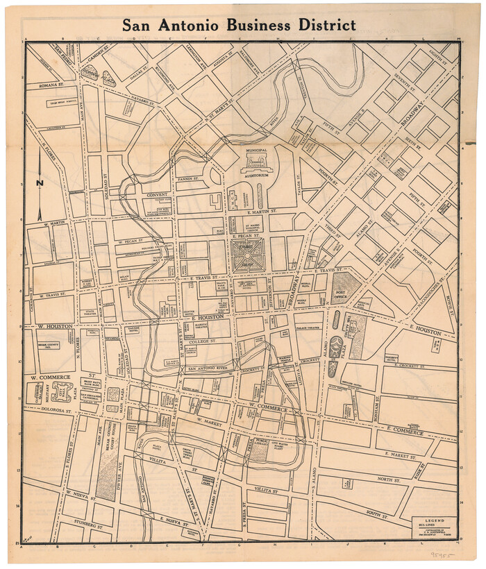

Print $20.00
- Digital $50.00
San Antonio Business District
1935
Size 17.4 x 14.8 inches
Map/Doc 95955
Dickens County Sketch File 29
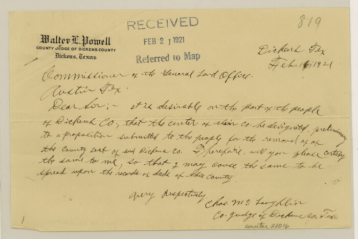

Print $6.00
- Digital $50.00
Dickens County Sketch File 29
1921
Size 5.9 x 8.8 inches
Map/Doc 21016
Tarrant County Sketch File 4
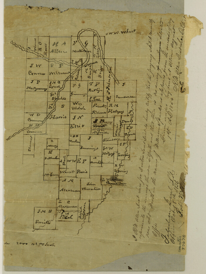

Print $4.00
- Digital $50.00
Tarrant County Sketch File 4
1856
Size 11.8 x 8.9 inches
Map/Doc 37678
Lamb County Working Sketch Graphic Index


Print $20.00
- Digital $50.00
Lamb County Working Sketch Graphic Index
1961
Size 43.8 x 34.1 inches
Map/Doc 76613
Atascosa County Working Sketch 30


Print $20.00
- Digital $50.00
Atascosa County Working Sketch 30
1980
Size 16.4 x 20.6 inches
Map/Doc 67226
Nueces County NRC Article 33.136 Location Key Sheet
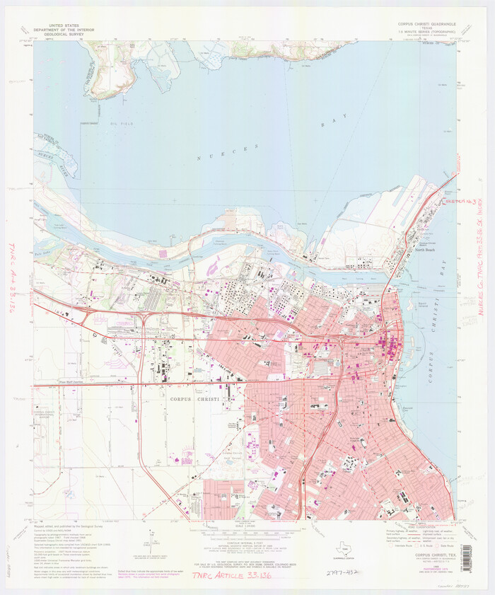

Print $20.00
- Digital $50.00
Nueces County NRC Article 33.136 Location Key Sheet
1975
Size 27.5 x 23.0 inches
Map/Doc 88589
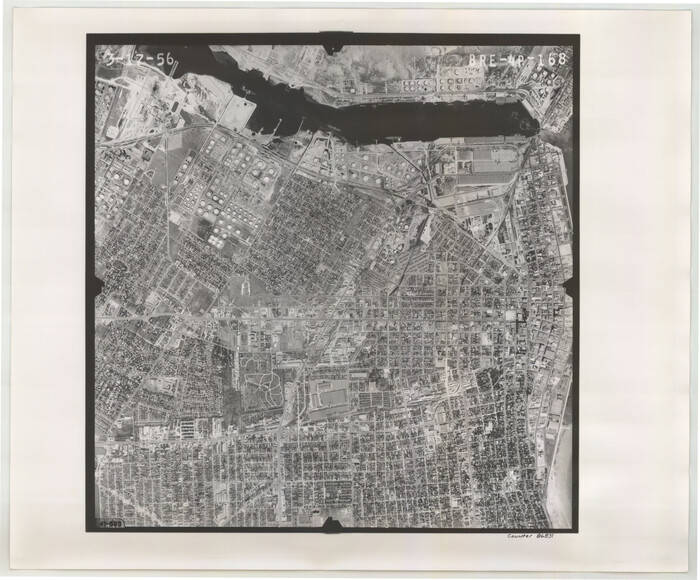
Flight Mission No. BRE-4P, Frame 168, Nueces County

Print $20.00
- Digital $50.00
Flight Mission No. BRE-4P, Frame 168, Nueces County
1956
Size 18.7 x 22.6 inches
Map/Doc 86831
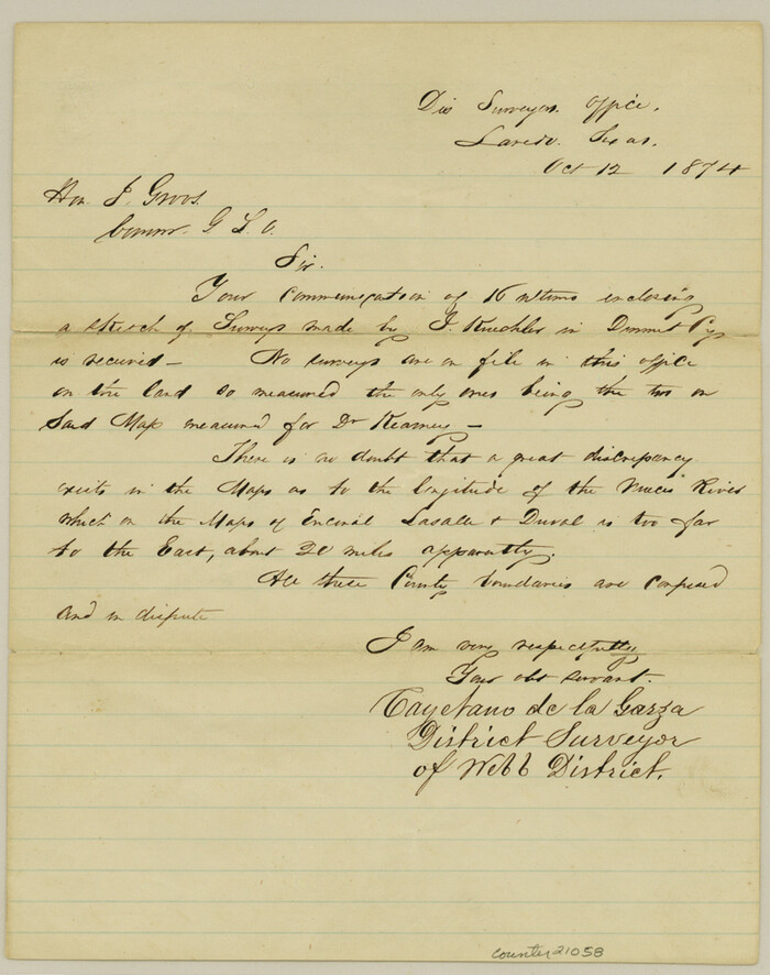
Dimmit County Sketch File 3

Print $4.00
- Digital $50.00
Dimmit County Sketch File 3
1874
Size 10.1 x 8.0 inches
Map/Doc 21058
You may also like
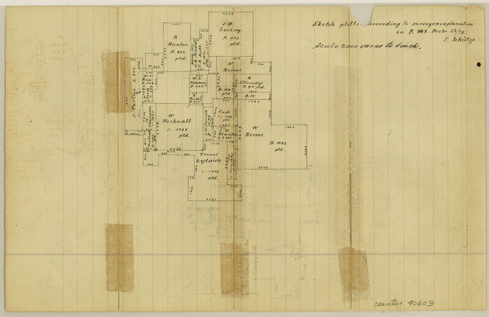
Wise County Sketch File 43

Print $4.00
- Digital $50.00
Wise County Sketch File 43
1876
Size 8.3 x 12.8 inches
Map/Doc 40603
[Surveying Sketch of Loma Blanca, Santa Rosa, San Antonio del Encinal, et al]
![4449, [Surveying Sketch of Loma Blanca, Santa Rosa, San Antonio del Encinal, et al], Maddox Collection](https://historictexasmaps.com/wmedia_w700/maps/4449.tif.jpg)
![4449, [Surveying Sketch of Loma Blanca, Santa Rosa, San Antonio del Encinal, et al], Maddox Collection](https://historictexasmaps.com/wmedia_w700/maps/4449.tif.jpg)
Print $20.00
- Digital $50.00
[Surveying Sketch of Loma Blanca, Santa Rosa, San Antonio del Encinal, et al]
Size 19.0 x 22.1 inches
Map/Doc 4449
Brazoria County NRC Article 33.136 Sketch 26


Print $24.00
Brazoria County NRC Article 33.136 Sketch 26
2025
Map/Doc 97471
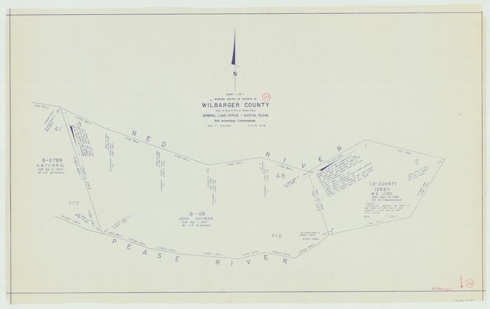
Wilbarger County Working Sketch 20

Print $20.00
- Digital $50.00
Wilbarger County Working Sketch 20
1976
Size 27.4 x 43.4 inches
Map/Doc 72558
Marion County, Texas


Print $20.00
- Digital $50.00
Marion County, Texas
1879
Size 15.0 x 20.7 inches
Map/Doc 651
Cecil Stein Drilling Block
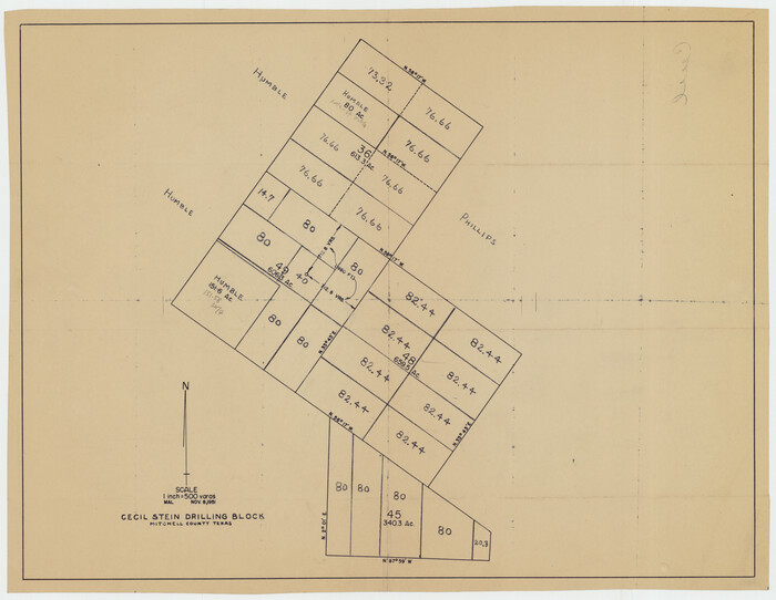

Print $3.00
- Digital $50.00
Cecil Stein Drilling Block
1951
Size 12.3 x 9.5 inches
Map/Doc 92280
Burnet County Boundary File 9
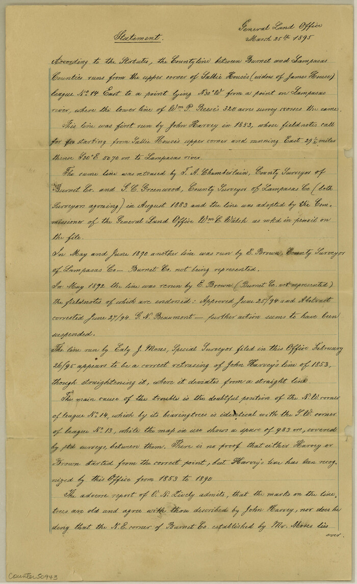

Print $12.00
- Digital $50.00
Burnet County Boundary File 9
Size 14.1 x 8.6 inches
Map/Doc 50943
[Blocks RG, I and S]
![92726, [Blocks RG, I and S], Twichell Survey Records](https://historictexasmaps.com/wmedia_w700/maps/92726-1.tif.jpg)
![92726, [Blocks RG, I and S], Twichell Survey Records](https://historictexasmaps.com/wmedia_w700/maps/92726-1.tif.jpg)
Print $20.00
- Digital $50.00
[Blocks RG, I and S]
Size 36.7 x 37.2 inches
Map/Doc 92726
Working Sketch Bastrop County
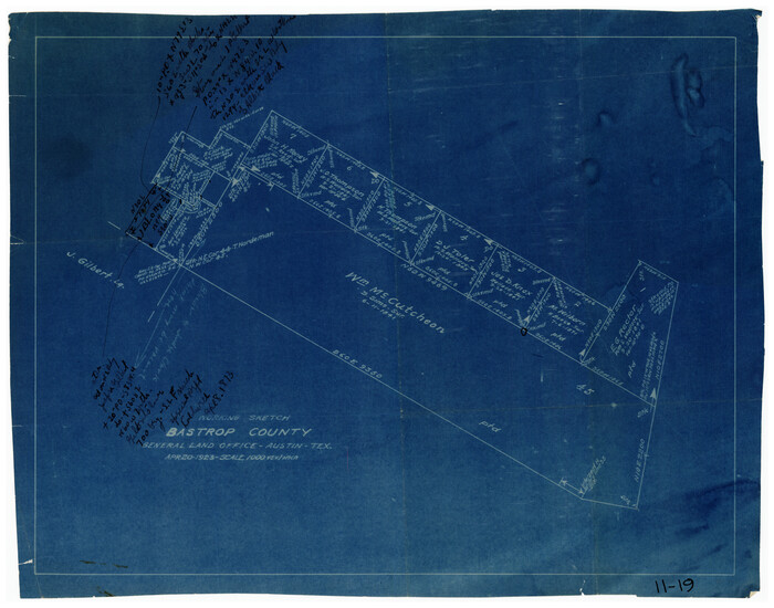

Print $20.00
- Digital $50.00
Working Sketch Bastrop County
1923
Size 16.7 x 13.1 inches
Map/Doc 90117
Map of the United States to accompany Granger's Southern and Western Texas Guide


Print $20.00
Map of the United States to accompany Granger's Southern and Western Texas Guide
1878
Size 26.4 x 20.4 inches
Map/Doc 76236
Duval County Rolled Sketch 20A
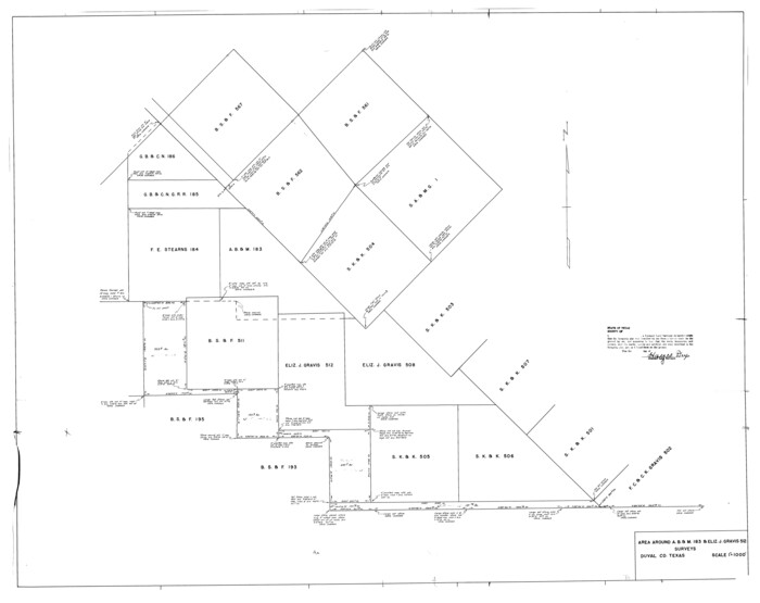

Print $20.00
- Digital $50.00
Duval County Rolled Sketch 20A
Size 34.6 x 43.7 inches
Map/Doc 8816
Flight Mission No. BRE-2P, Frame 38, Nueces County


Print $20.00
- Digital $50.00
Flight Mission No. BRE-2P, Frame 38, Nueces County
1956
Size 18.7 x 22.7 inches
Map/Doc 86740
![65588, [Sketch for Mineral Application 24072, San Jacinto River], General Map Collection](https://historictexasmaps.com/wmedia_w1800h1800/maps/65588.tif.jpg)