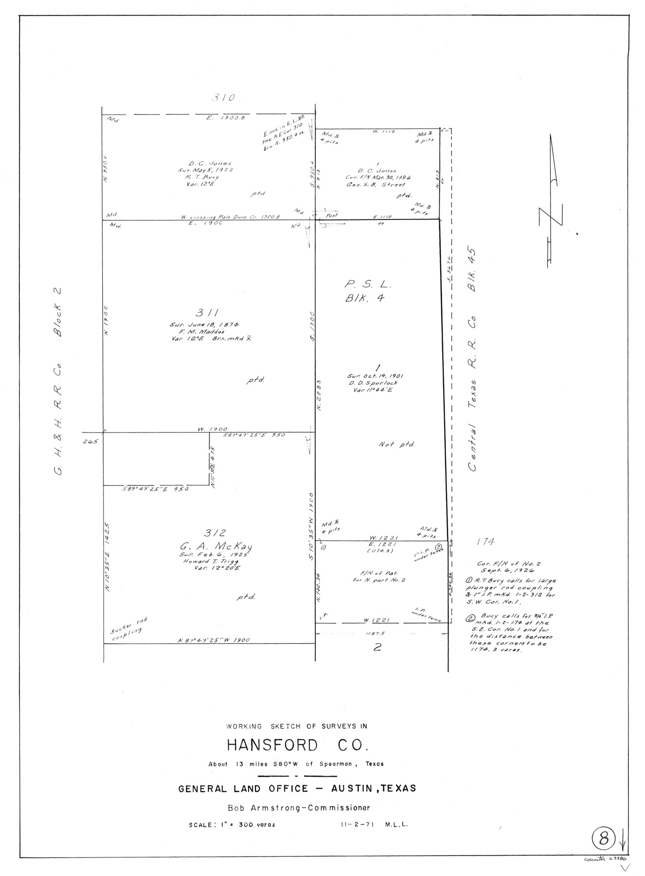
Hansford County Working Sketch 8
-
Map/Doc
63380
-
Collection
General Map Collection
-
Object Dates
11/2/1971 (Creation Date)
-
People and Organizations
M. L. Liles (Draftsman)
-
Counties
Hansford
-
Subjects
Surveying Working Sketch
-
Height x Width
26.2 x 19.3 inches
66.6 x 49.0 cm
-
Scale
1" = 300 varas
Part of: General Map Collection
Galveston County Sketch File 25

Print $2.00
- Digital $50.00
Galveston County Sketch File 25
1845
Size 8.1 x 9.1 inches
Map/Doc 23396
Culberson County Rolled Sketch 46

Print $40.00
- Digital $50.00
Culberson County Rolled Sketch 46
1953
Size 53.1 x 43.1 inches
Map/Doc 8754
Kleberg County Rolled Sketch 10-27

Print $20.00
- Digital $50.00
Kleberg County Rolled Sketch 10-27
1952
Size 37.9 x 40.1 inches
Map/Doc 9402
Map of Harris County

Print $20.00
- Digital $50.00
Map of Harris County
1893
Size 26.6 x 34.4 inches
Map/Doc 65810
Cottle County Sketch File 5

Print $6.00
- Digital $50.00
Cottle County Sketch File 5
1883
Size 17.0 x 9.6 inches
Map/Doc 19474
Stonewall County Rolled Sketch 22

Print $20.00
- Digital $50.00
Stonewall County Rolled Sketch 22
1951
Size 33.3 x 30.7 inches
Map/Doc 76011
Hill County Sketch File 8

Print $4.00
- Digital $50.00
Hill County Sketch File 8
1859
Size 10.1 x 8.2 inches
Map/Doc 26472
Henderson County Boundary File 3c

Print $40.00
- Digital $50.00
Henderson County Boundary File 3c
Size 22.5 x 80.6 inches
Map/Doc 54707
Cameron County

Print $20.00
- Digital $50.00
Cameron County
1913
Size 29.3 x 33.6 inches
Map/Doc 4902
Reeves County Sketch File 21

Print $20.00
- Digital $50.00
Reeves County Sketch File 21
Size 21.9 x 21.7 inches
Map/Doc 12246
Nueces County Rolled Sketch 24

Print $20.00
- Digital $50.00
Nueces County Rolled Sketch 24
Size 19.6 x 24.8 inches
Map/Doc 6873
Zavala County

Print $40.00
- Digital $50.00
Zavala County
1977
Size 43.6 x 49.3 inches
Map/Doc 95684
You may also like
Ada, Gaines County, Texas

Print $20.00
- Digital $50.00
Ada, Gaines County, Texas
Size 24.1 x 25.8 inches
Map/Doc 92689
Eastland County Rolled Sketch 24

Print $20.00
- Digital $50.00
Eastland County Rolled Sketch 24
1983
Size 33.5 x 38.0 inches
Map/Doc 8830
Hardeman County Sketch File 5

Print $6.00
- Digital $50.00
Hardeman County Sketch File 5
Size 12.9 x 4.4 inches
Map/Doc 24994
Angelina County Sketch File 21

Print $6.00
- Digital $50.00
Angelina County Sketch File 21
1883
Size 8.8 x 4.0 inches
Map/Doc 13038
Upton County Working Sketch 21

Print $20.00
- Digital $50.00
Upton County Working Sketch 21
1950
Size 33.8 x 36.0 inches
Map/Doc 69517
Zavala County Boundary File 2a

Print $56.00
- Digital $50.00
Zavala County Boundary File 2a
Size 14.2 x 8.8 inches
Map/Doc 60248
Controlled Mosaic by Jack Amman Photogrammetric Engineers, Inc - Sheet 41

Print $20.00
- Digital $50.00
Controlled Mosaic by Jack Amman Photogrammetric Engineers, Inc - Sheet 41
1954
Size 20.0 x 24.0 inches
Map/Doc 83496
Webb County Rolled Sketch 15

Print $20.00
- Digital $50.00
Webb County Rolled Sketch 15
Size 25.1 x 15.1 inches
Map/Doc 8179
Hardeman County Working Sketch 6

Print $20.00
- Digital $50.00
Hardeman County Working Sketch 6
1944
Size 25.9 x 17.8 inches
Map/Doc 63387
Flight Mission No. DCL-6C, Frame 66, Kenedy County

Print $20.00
- Digital $50.00
Flight Mission No. DCL-6C, Frame 66, Kenedy County
1943
Size 18.7 x 22.4 inches
Map/Doc 85908

Hunt County Sketch File 9

Print $3.00
- Digital $50.00
Hunt County Sketch File 9
1851
Size 10.0 x 14.8 inches
Map/Doc 27099