[Sketch of expeditions, trails in Jones, Taylor, Shackelford, Callahan, Buchanan/Stephens and Eastland Counties]
K-7-16
-
Map/Doc
65406
-
Collection
General Map Collection
-
Object Dates
1873/7/31 (Creation Date)
-
People and Organizations
National Archives (Publisher)
-
Counties
Eastland Jones Shackelford Stephens Taylor
-
Subjects
Military
-
Height x Width
10.7 x 18.1 inches
27.2 x 46.0 cm
-
Comments
Sketch Accompanying Captain Catlin's Report, 11th Infantry; Copy from National Archives - Records of the War Department, Office of the Adjutant General, Misc. File 120 - Sketch accompanying report of Captain Catlin's, 11th Infantry, dated July 31, 1873
Part of: General Map Collection
Shelby County Sketch File 17


Print $10.00
- Digital $50.00
Shelby County Sketch File 17
Size 8.2 x 9.5 inches
Map/Doc 36631
Flight Mission No. CUG-1P, Frame 104, Kleberg County


Print $20.00
- Digital $50.00
Flight Mission No. CUG-1P, Frame 104, Kleberg County
1956
Size 18.5 x 21.1 inches
Map/Doc 86154
Brown County Sketch File 17

Print $40.00
- Digital $50.00
Brown County Sketch File 17
Size 15.6 x 12.7 inches
Map/Doc 16614
Treaty to Resolve Pending Boundary Differences and Maintain the Rio Grande and Colorado River as the International Boundary Between the United States of American and Mexico


Print $20.00
- Digital $50.00
Treaty to Resolve Pending Boundary Differences and Maintain the Rio Grande and Colorado River as the International Boundary Between the United States of American and Mexico
1970
Size 11.1 x 35.8 inches
Map/Doc 83102
Limestone County Sketch File 8


Print $20.00
- Digital $50.00
Limestone County Sketch File 8
1869
Size 15.6 x 23.7 inches
Map/Doc 12002
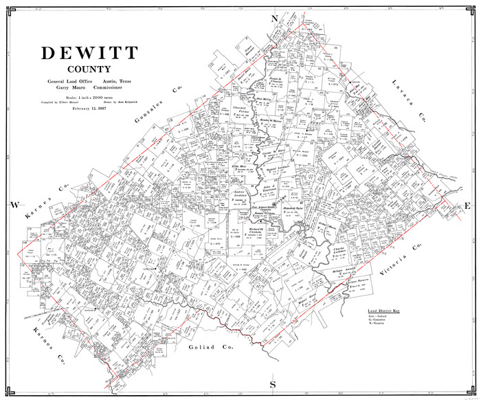
DeWitt County

Print $40.00
- Digital $50.00
DeWitt County
1987
Size 42.6 x 53.2 inches
Map/Doc 73131
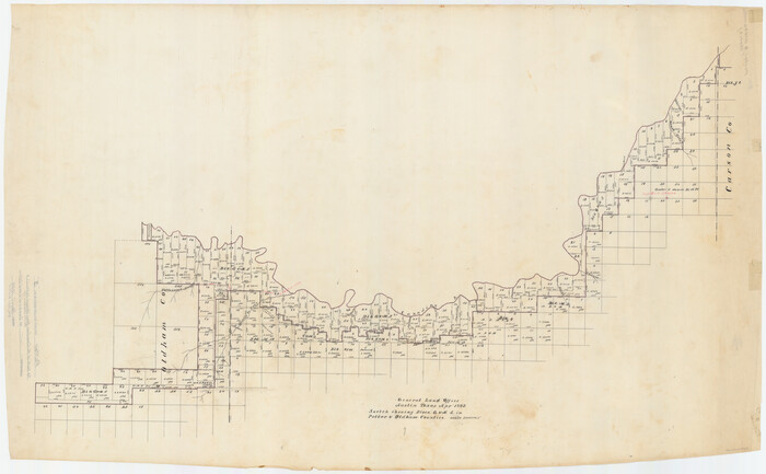
Potter County Rolled Sketch 3

Print $20.00
- Digital $50.00
Potter County Rolled Sketch 3
1892
Map/Doc 9758
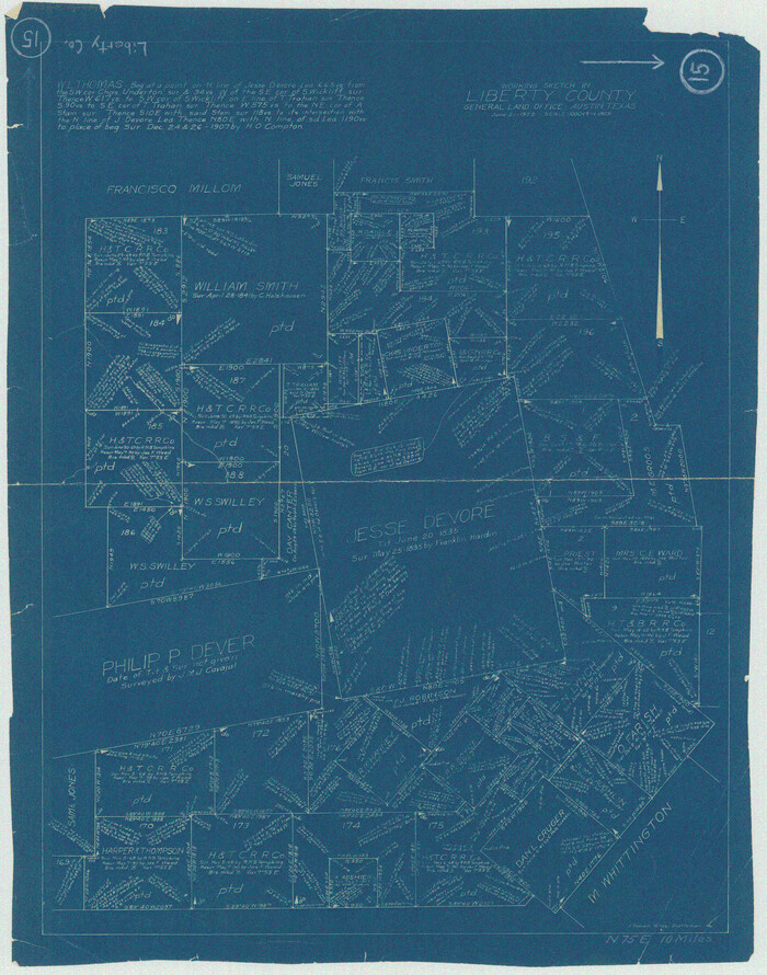
Liberty County Working Sketch 15

Print $20.00
- Digital $50.00
Liberty County Working Sketch 15
1922
Size 19.0 x 15.0 inches
Map/Doc 70474
Flight Mission No. BRE-1P, Frame 136, Nueces County
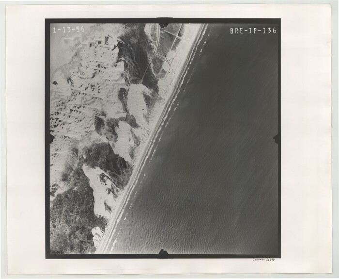

Print $20.00
- Digital $50.00
Flight Mission No. BRE-1P, Frame 136, Nueces County
1956
Size 18.7 x 22.7 inches
Map/Doc 86696
Webb County Sketch File 2


Print $20.00
- Digital $50.00
Webb County Sketch File 2
Size 20.0 x 18.2 inches
Map/Doc 12612
Galveston County Sketch File 66


Print $116.00
- Digital $50.00
Galveston County Sketch File 66
Size 5.0 x 10.0 inches
Map/Doc 23751
You may also like
Portion of Block Y, W. D. and F. W. Johnson Subdivision Number 2
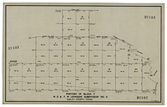

Print $20.00
- Digital $50.00
Portion of Block Y, W. D. and F. W. Johnson Subdivision Number 2
Size 23.9 x 15.3 inches
Map/Doc 92500
Harbor Pass and Bar at Brazos Santiago, Texas
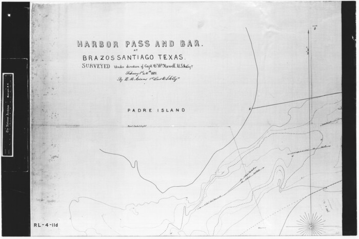

Print $20.00
- Digital $50.00
Harbor Pass and Bar at Brazos Santiago, Texas
1871
Size 18.3 x 27.4 inches
Map/Doc 73036
Kinney County Working Sketch 44
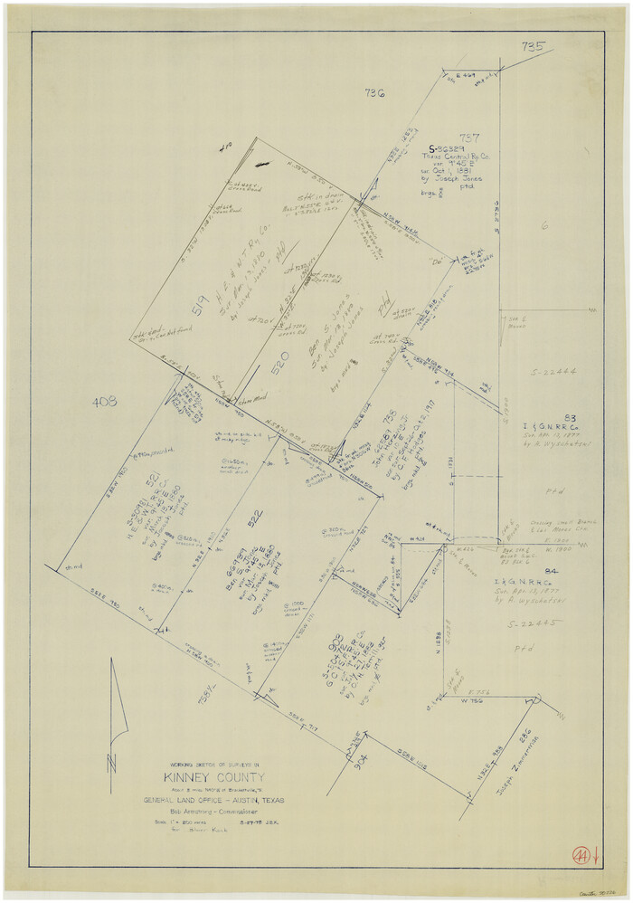

Print $20.00
- Digital $50.00
Kinney County Working Sketch 44
1978
Size 36.7 x 25.8 inches
Map/Doc 70226
Map of San Patricio County
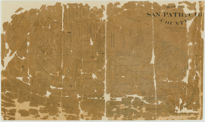

Print $40.00
- Digital $50.00
Map of San Patricio County
1896
Size 29.1 x 48.7 inches
Map/Doc 1336
Dawson County Sketch File 3


Print $20.00
- Digital $50.00
Dawson County Sketch File 3
Size 13.5 x 37.8 inches
Map/Doc 11290
Milam County Working Sketch 15


Print $20.00
- Digital $50.00
Milam County Working Sketch 15
1911
Size 18.2 x 26.1 inches
Map/Doc 71030
San Saba County Sketch File 17
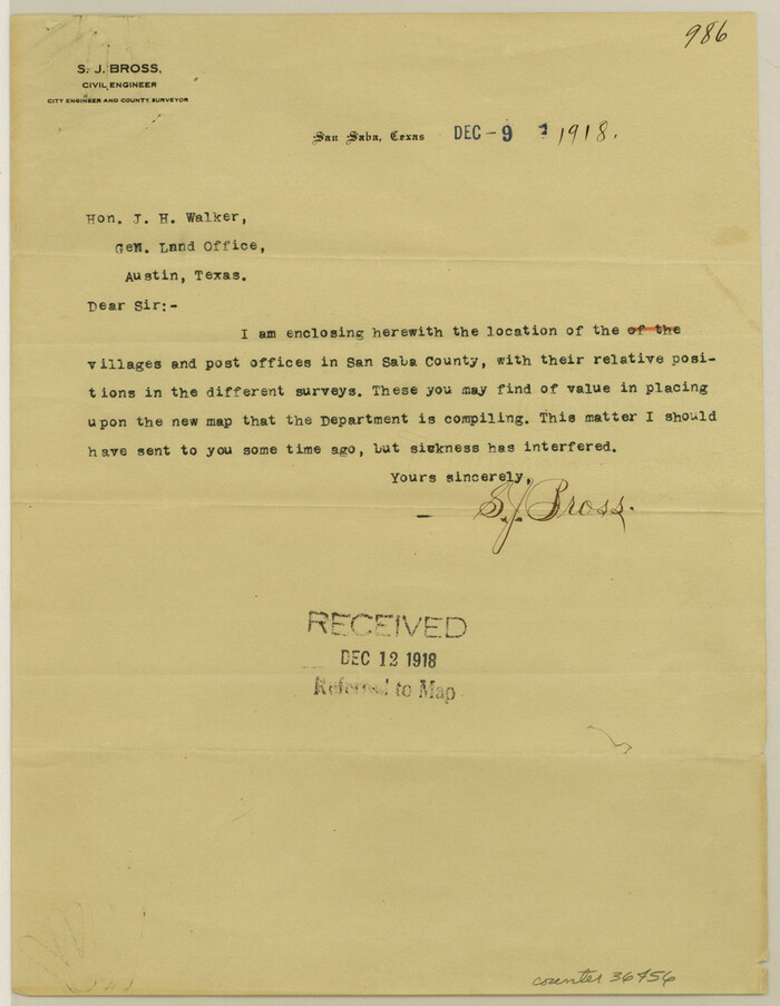

Print $8.00
- Digital $50.00
San Saba County Sketch File 17
1918
Size 11.4 x 8.8 inches
Map/Doc 36456
General Highway Map, Dawson County, Texas


Print $20.00
General Highway Map, Dawson County, Texas
1940
Size 18.5 x 25.2 inches
Map/Doc 79071
Houston County Working Sketch 17
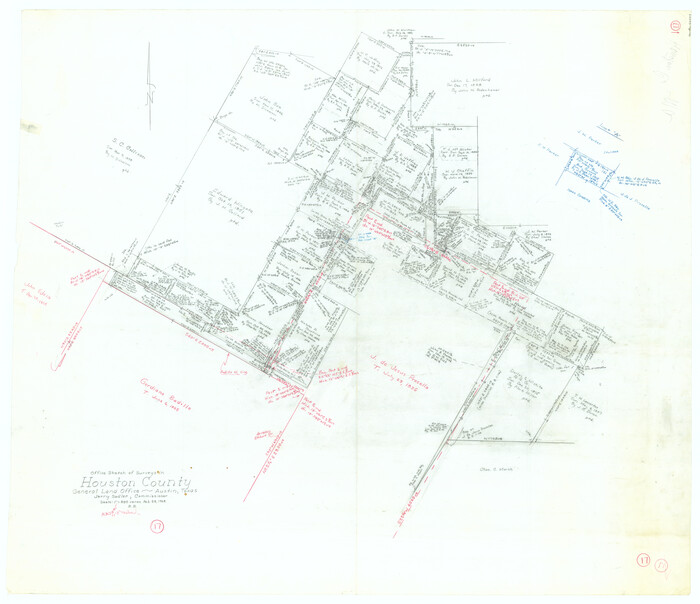

Print $40.00
- Digital $50.00
Houston County Working Sketch 17
1968
Size 43.4 x 50.3 inches
Map/Doc 66247
Zapata County Working Sketch 11


Print $20.00
- Digital $50.00
Zapata County Working Sketch 11
1958
Size 38.1 x 28.7 inches
Map/Doc 62062
[County map showing Texas State Capitol Land and surrounding areas]
![93141, [County map showing Texas State Capitol Land and surrounding areas], Twichell Survey Records](https://historictexasmaps.com/wmedia_w700/maps/93141-1.tif.jpg)
![93141, [County map showing Texas State Capitol Land and surrounding areas], Twichell Survey Records](https://historictexasmaps.com/wmedia_w700/maps/93141-1.tif.jpg)
Print $40.00
- Digital $50.00
[County map showing Texas State Capitol Land and surrounding areas]
Size 51.5 x 66.7 inches
Map/Doc 93141
Calhoun County Sketch File 16


Print $4.00
- Digital $50.00
Calhoun County Sketch File 16
1954
Size 10.7 x 8.3 inches
Map/Doc 35982
![65406, [Sketch of expeditions, trails in Jones, Taylor, Shackelford, Callahan, Buchanan/Stephens and Eastland Counties], General Map Collection](https://historictexasmaps.com/wmedia_w1800h1800/maps/65406.tif.jpg)
