[Sketch of expeditions, trails in Jones, Taylor, Shackelford, Callahan, Buchanan/Stephens and Eastland Counties]
K-7-16
-
Map/Doc
65405
-
Collection
General Map Collection
-
Object Dates
1873/7/31 (Creation Date)
-
People and Organizations
National Archives (Publisher)
-
Counties
Eastland Jones Shackelford Stephens Taylor Callahan
-
Subjects
Military
-
Height x Width
10.8 x 18.3 inches
27.4 x 46.5 cm
-
Medium
photostat
-
Comments
Sketch Accompanying Captain Catlin's Report, 11th Infantry; Copy from National Archives - Records of the War Department, Office of the Adjutant General, Misc. File 120 - Sketch accompanying report of Captain Catlin's, 11th Infantry, dated July 31, 1873
-
Features
Hanover Creek
Foyle's Creek
Trout Creek
Fort Concho & Phantom Hill Road
Fort Concho Road
Phantom Hill Road
California Creek
Double Mountain Fork of Double Mountain Creek
Little Elm Creek
Clear or Paint Creek
Clear Creek
Paint Creek
Fort Griffin
Willow Creek
Buck Creek
Rainy Creek
Live Oak Creek
Red Creek
Phantom Hill
Fish Creek
Valley Creek
Oak Creek
[Fort] Chaburne [sic]
Scott's Creek
Church Hat [Mountain]
Jim Ned's Creek
Caddo Peaks
Green Bear Creek
Warnes or Sabans Creek
Warnes Creek
Saban's Creek
Red Hair Creek
Walnut Creek
Nathen's Creek
Saxx Creek
North Leon River
Pickettsville
Gonzales Creek
Sandy Creek
Mill Creek
South Hubbard Creek
North Hubbard Creek
Hubbard's Creek
Duet Creek
Clear Fork of Clear Creek
Part of: General Map Collection
Crane County Sketch File 15 (C-1)


Print $6.00
- Digital $50.00
Crane County Sketch File 15 (C-1)
1925
Size 8.8 x 15.4 inches
Map/Doc 19579
Aransas County NRC Article 33.136 Sketch 2


Print $26.00
- Digital $50.00
Aransas County NRC Article 33.136 Sketch 2
2001
Size 18.6 x 24.2 inches
Map/Doc 61643
Val Verde County Working Sketch 81
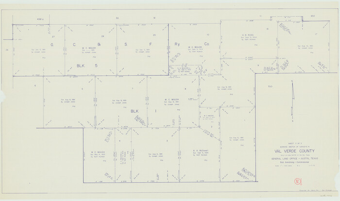

Print $20.00
- Digital $50.00
Val Verde County Working Sketch 81
1973
Size 24.6 x 41.7 inches
Map/Doc 72216
Trinity County Sketch File 4

Print $24.00
- Digital $50.00
Trinity County Sketch File 4
1858
Size 8.4 x 7.7 inches
Map/Doc 38501
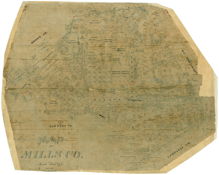
Map of Mills Co.

Print $20.00
- Digital $50.00
Map of Mills Co.
1887
Size 32.7 x 41.1 inches
Map/Doc 78439
Township 8 North Range 14 West, North Western District, Louisiana


Print $20.00
- Digital $50.00
Township 8 North Range 14 West, North Western District, Louisiana
1854
Size 19.7 x 24.7 inches
Map/Doc 65874
Red River County Working Sketch 84

Print $20.00
- Digital $50.00
Red River County Working Sketch 84
1989
Size 24.9 x 40.3 inches
Map/Doc 72070
Liberty County Working Sketch 66

Print $40.00
- Digital $50.00
Liberty County Working Sketch 66
1970
Size 42.9 x 49.9 inches
Map/Doc 70526
Scurry County Rolled Sketch 10

Print $20.00
- Digital $50.00
Scurry County Rolled Sketch 10
1966
Size 22.7 x 18.3 inches
Map/Doc 7770
Culberson County Working Sketch 14

Print $20.00
- Digital $50.00
Culberson County Working Sketch 14
1923
Size 17.9 x 19.2 inches
Map/Doc 68466
Maps of Gulf Intracoastal Waterway, Texas - Sabine River to the Rio Grande and connecting waterways including ship channels


Print $20.00
- Digital $50.00
Maps of Gulf Intracoastal Waterway, Texas - Sabine River to the Rio Grande and connecting waterways including ship channels
1966
Size 14.6 x 22.2 inches
Map/Doc 61967
Polk County Sketch File 11


Print $4.00
- Digital $50.00
Polk County Sketch File 11
Size 9.2 x 8.1 inches
Map/Doc 34142
You may also like
Upton County Working Sketch 44


Print $20.00
- Digital $50.00
Upton County Working Sketch 44
1962
Size 19.2 x 25.5 inches
Map/Doc 69540
Brewster County Working Sketch 32


Print $20.00
- Digital $50.00
Brewster County Working Sketch 32
1943
Size 28.3 x 28.3 inches
Map/Doc 67566
Comanche County Boundary File 2a
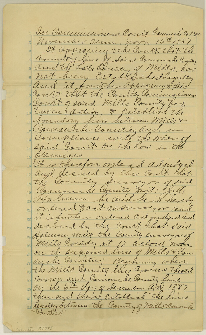

Print $4.00
- Digital $50.00
Comanche County Boundary File 2a
Size 14.3 x 8.8 inches
Map/Doc 51788
[Surveying Sketch of Encibio Almaguie, T. W. N. G. R. R. Co., et al in Hutchinson County, Texas]
![93791, [Surveying Sketch of Encibio Almaguie, T. W. N. G. R. R. Co., et al in Hutchinson County, Texas], Maddox Collection](https://historictexasmaps.com/wmedia_w700/maps/93791.tif.jpg)
![93791, [Surveying Sketch of Encibio Almaguie, T. W. N. G. R. R. Co., et al in Hutchinson County, Texas], Maddox Collection](https://historictexasmaps.com/wmedia_w700/maps/93791.tif.jpg)
Print $20.00
- Digital $50.00
[Surveying Sketch of Encibio Almaguie, T. W. N. G. R. R. Co., et al in Hutchinson County, Texas]
Map/Doc 93791
Kleberg County Rolled Sketch 5
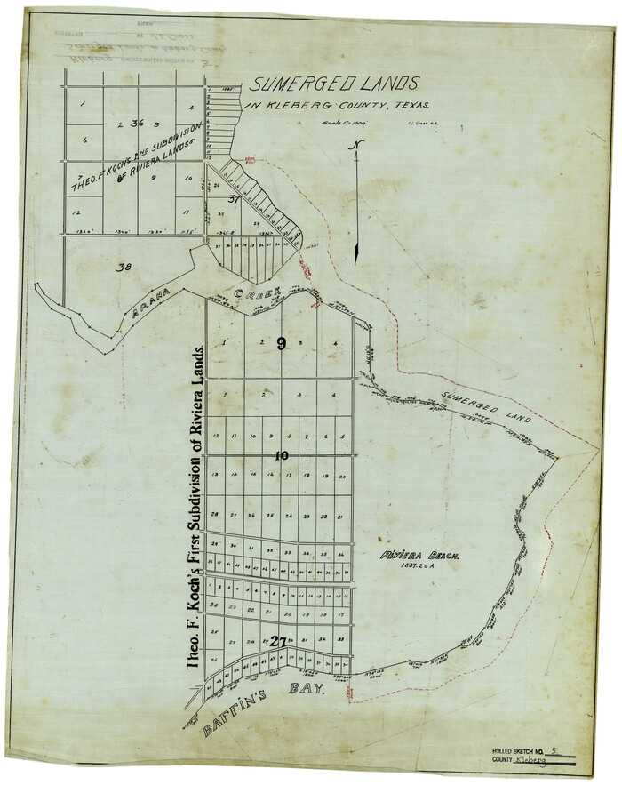

Print $20.00
- Digital $50.00
Kleberg County Rolled Sketch 5
Size 27.8 x 21.8 inches
Map/Doc 6548
Culberson County Sketch File 26


Print $8.00
- Digital $50.00
Culberson County Sketch File 26
1949
Size 11.2 x 8.8 inches
Map/Doc 20262
Hudspeth County Sketch File 12


Print $10.00
- Digital $50.00
Hudspeth County Sketch File 12
1901
Size 14.2 x 8.7 inches
Map/Doc 26924
A Camera Journey through the Lower Valley of the Rio Grande - the Garden of Golden Grapefruit


A Camera Journey through the Lower Valley of the Rio Grande - the Garden of Golden Grapefruit
1929
Map/Doc 96744
Hemphill County, Texas
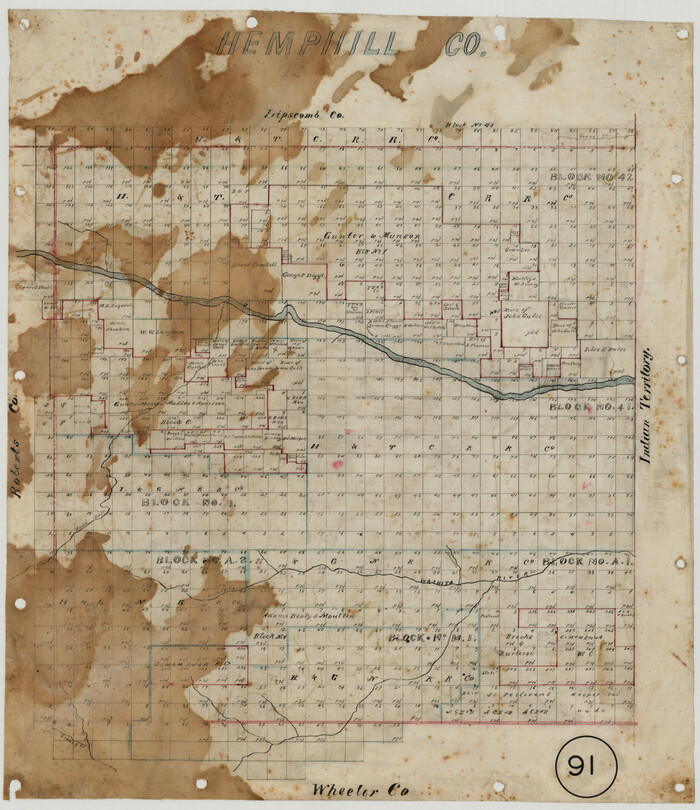

Print $20.00
- Digital $50.00
Hemphill County, Texas
1880
Size 19.7 x 18.6 inches
Map/Doc 549
Brazos River, Brazos River Sheet 6


Print $20.00
- Digital $50.00
Brazos River, Brazos River Sheet 6
1926
Size 27.9 x 23.0 inches
Map/Doc 69670
Flight Mission No. CRC-3R, Frame 210, Chambers County
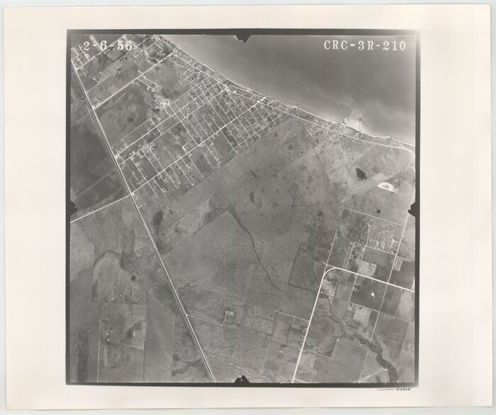

Print $20.00
- Digital $50.00
Flight Mission No. CRC-3R, Frame 210, Chambers County
1956
Size 18.6 x 22.3 inches
Map/Doc 84865
![65405, [Sketch of expeditions, trails in Jones, Taylor, Shackelford, Callahan, Buchanan/Stephens and Eastland Counties], General Map Collection](https://historictexasmaps.com/wmedia_w1800h1800/maps/65405.tif.jpg)
