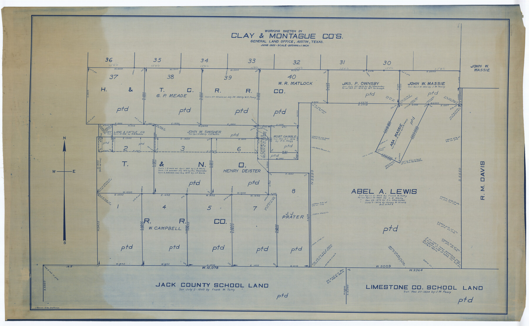
Montague County Working Sketch 41
K-7-54b
-
Map/Doc
65350
-
Collection
General Map Collection
-
Object Dates
6/1923 (Creation Date)
-
People and Organizations
J. Bascom Giles (Draftsman)
-
Counties
Montague Clay
-
Subjects
Surveying Working Sketch
-
Height x Width
43.3 x 70.1 inches
110.0 x 178.1 cm
-
Scale
1" = 250 varas
Part of: General Map Collection
Flight Mission No. CRC-4R, Frame 69, Chambers County

Print $20.00
- Digital $50.00
Flight Mission No. CRC-4R, Frame 69, Chambers County
1956
Size 18.7 x 22.4 inches
Map/Doc 84873
Mustang Island, Nueces County

Print $20.00
- Digital $50.00
Mustang Island, Nueces County
1952
Size 39.5 x 35.4 inches
Map/Doc 1918
Flight Mission No. CRC-2R, Frame 109, Chambers County

Print $20.00
- Digital $50.00
Flight Mission No. CRC-2R, Frame 109, Chambers County
1956
Size 18.6 x 22.3 inches
Map/Doc 84736
Map of Texas from the most recent authorities

Print $20.00
- Digital $50.00
Map of Texas from the most recent authorities
1845
Size 14.1 x 17.9 inches
Map/Doc 97280
Hays County Working Sketch 14

Print $20.00
- Digital $50.00
Hays County Working Sketch 14
1964
Size 23.7 x 19.7 inches
Map/Doc 66088
Hardeman County Sketch File 1

Print $20.00
- Digital $50.00
Hardeman County Sketch File 1
Size 31.0 x 45.7 inches
Map/Doc 10477
Gregg County Rolled Sketch JB2

Print $20.00
- Digital $50.00
Gregg County Rolled Sketch JB2
1933
Size 42.0 x 35.1 inches
Map/Doc 8341
Flight Mission No. DQN-1K, Frame 157, Calhoun County

Print $20.00
- Digital $50.00
Flight Mission No. DQN-1K, Frame 157, Calhoun County
1953
Size 18.4 x 22.2 inches
Map/Doc 84216
San Patricio County Working Sketch 2

Print $20.00
- Digital $50.00
San Patricio County Working Sketch 2
1911
Size 18.6 x 15.1 inches
Map/Doc 63764
DeWitt County

Print $40.00
- Digital $50.00
DeWitt County
1987
Size 42.1 x 50.6 inches
Map/Doc 95481
Terrell County Working Sketch 7

Print $20.00
- Digital $50.00
Terrell County Working Sketch 7
1915
Size 42.2 x 31.3 inches
Map/Doc 62156
Brewster County Working Sketch 82

Print $20.00
- Digital $50.00
Brewster County Working Sketch 82
1973
Size 45.3 x 36.6 inches
Map/Doc 67682
You may also like
Outer Continental Shelf Leasing Maps (Louisiana Offshore Operations)

Print $20.00
- Digital $50.00
Outer Continental Shelf Leasing Maps (Louisiana Offshore Operations)
1954
Size 11.3 x 12.4 inches
Map/Doc 76117
Schleicher County Working Sketch 12

Print $20.00
- Digital $50.00
Schleicher County Working Sketch 12
1925
Size 23.7 x 22.2 inches
Map/Doc 63814

Plat in Pecos County, Texas

Print $40.00
- Digital $50.00
Plat in Pecos County, Texas
1927
Size 57.9 x 37.0 inches
Map/Doc 89836
Robertson Co.

Print $40.00
- Digital $50.00
Robertson Co.
1945
Size 48.5 x 39.3 inches
Map/Doc 73276
Hall County Sketch File 25

Print $40.00
- Digital $50.00
Hall County Sketch File 25
1912
Size 14.5 x 13.6 inches
Map/Doc 24822
Fort Bend County Sketch File 4

Print $4.00
- Digital $50.00
Fort Bend County Sketch File 4
1876
Size 10.0 x 8.4 inches
Map/Doc 22885
Flight Mission No. CRK-3P, Frame 127, Refugio County

Print $20.00
- Digital $50.00
Flight Mission No. CRK-3P, Frame 127, Refugio County
1956
Size 18.6 x 22.3 inches
Map/Doc 86915
Hardin County Rolled Sketch 5

Print $20.00
- Digital $50.00
Hardin County Rolled Sketch 5
1937
Size 21.5 x 18.8 inches
Map/Doc 6078
Martin County Rolled Sketch 10A

Print $20.00
- Digital $50.00
Martin County Rolled Sketch 10A
1994
Size 18.3 x 24.5 inches
Map/Doc 6671
Travis County Rolled Sketch 23

Print $20.00
- Digital $50.00
Travis County Rolled Sketch 23
1941
Size 30.5 x 37.7 inches
Map/Doc 8024
