[F. W. & D. C. Ry. Co. Alignment and Right of Way Map, Clay County]
Z-2-203
-
Map/Doc
64725
-
Collection
General Map Collection
-
Object Dates
8/18/1927 (Creation Date)
-
People and Organizations
Office of Engineer Maintenance of Way (Publisher)
-
Counties
Clay Wichita
-
Subjects
Railroads
-
Height x Width
18.6 x 11.7 inches
47.2 x 29.7 cm
-
Medium
paper, photocopy
-
Scale
1" = 400 feet
-
Comments
See 64722 through 64724 and 64726 through 64747 for all segments of this map.
-
Features
East Pond Creek
FW&DC
Part of: General Map Collection
Ector County Working Sketch 16


Print $40.00
- Digital $50.00
Ector County Working Sketch 16
1956
Size 31.6 x 73.6 inches
Map/Doc 68859
Stonewall County Sketch File 22


Print $20.00
- Digital $50.00
Stonewall County Sketch File 22
1937
Size 18.8 x 23.1 inches
Map/Doc 12368
Panola County Working Sketch 15

Print $40.00
- Digital $50.00
Panola County Working Sketch 15
1945
Map/Doc 71424
United States - Gulf Coast - From Latitude 26° 33' to the Rio Grande Texas

Print $20.00
- Digital $50.00
United States - Gulf Coast - From Latitude 26° 33' to the Rio Grande Texas
1913
Size 18.4 x 27.9 inches
Map/Doc 72842
Dimmit County Working Sketch 58


Print $20.00
- Digital $50.00
Dimmit County Working Sketch 58
2017
Size 24.2 x 36.2 inches
Map/Doc 94121
Hood County Working Sketch 8

Print $20.00
- Digital $50.00
Hood County Working Sketch 8
1971
Size 30.1 x 37.8 inches
Map/Doc 66202
Mills County Working Sketch 10

Print $20.00
- Digital $50.00
Mills County Working Sketch 10
1928
Size 29.0 x 22.0 inches
Map/Doc 71040
Hutchinson County Working Sketch 47


Print $20.00
- Digital $50.00
Hutchinson County Working Sketch 47
1980
Size 35.2 x 19.9 inches
Map/Doc 66407
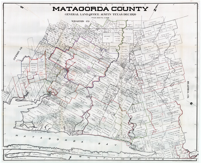
Matagorda County Working Sketch Graphic Index, Sheet 1 (Sketches 1 to 16)

Print $40.00
- Digital $50.00
Matagorda County Working Sketch Graphic Index, Sheet 1 (Sketches 1 to 16)
1920
Size 40.0 x 48.8 inches
Map/Doc 76633
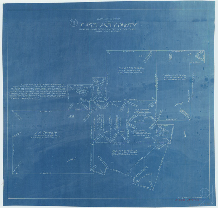
Eastland County Working Sketch 19

Print $20.00
- Digital $50.00
Eastland County Working Sketch 19
1920
Size 15.7 x 16.4 inches
Map/Doc 68800
Flight Mission No. DQN-1K, Frame 103, Calhoun County


Print $20.00
- Digital $50.00
Flight Mission No. DQN-1K, Frame 103, Calhoun County
1953
Size 18.5 x 22.1 inches
Map/Doc 84170
Dimmit County Working Sketch 27


Print $20.00
- Digital $50.00
Dimmit County Working Sketch 27
1956
Size 20.3 x 23.0 inches
Map/Doc 68688
You may also like
Flight Mission No. BRE-2P, Frame 94, Nueces County

Print $20.00
- Digital $50.00
Flight Mission No. BRE-2P, Frame 94, Nueces County
1956
Size 18.6 x 22.3 inches
Map/Doc 86779
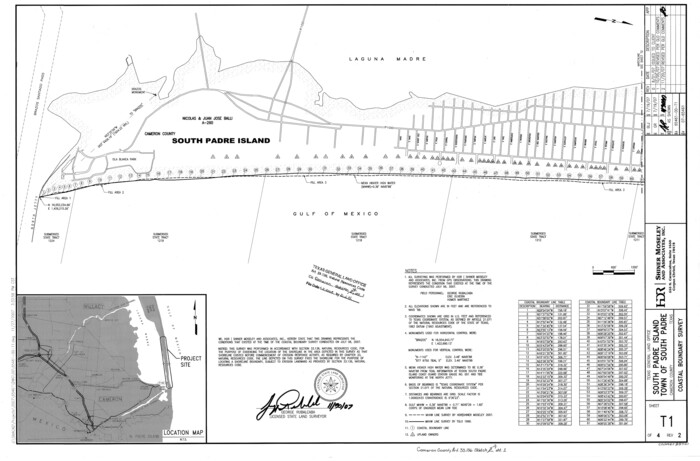
Cameron County NRC Article 33.136 Sketch 4

Print $94.00
- Digital $50.00
Cameron County NRC Article 33.136 Sketch 4
2007
Size 22.3 x 34.0 inches
Map/Doc 88721
Houston Ship Channel
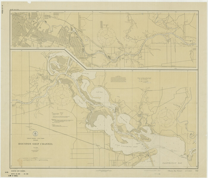

Print $20.00
- Digital $50.00
Houston Ship Channel
1926
Size 32.9 x 38.3 inches
Map/Doc 69893
Subdivision of the J. F. Carter Estate
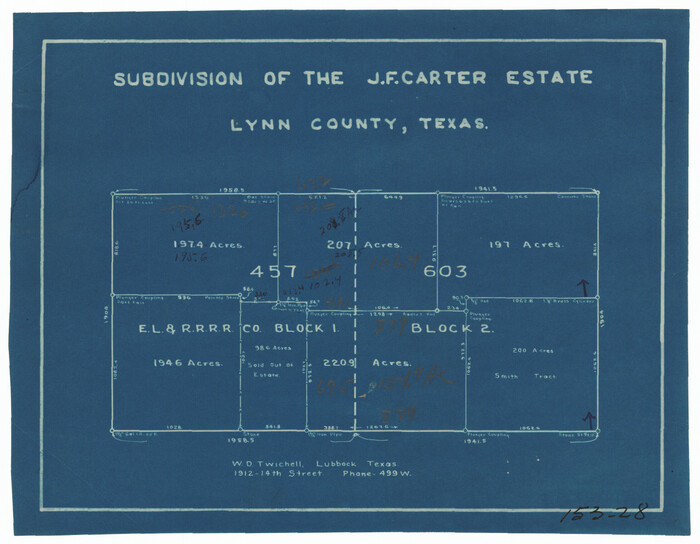

Print $2.00
- Digital $50.00
Subdivision of the J. F. Carter Estate
Size 11.8 x 9.0 inches
Map/Doc 91279
General Land Office Reference Book: Burnet's, Vehlein's, Zavala's, Robertson's Colonies in Texas


General Land Office Reference Book: Burnet's, Vehlein's, Zavala's, Robertson's Colonies in Texas
Map/Doc 94555
[Sketch for Mineral Application 13439 - Bed Lost Lake, Walle Merritt]
![65577, [Sketch for Mineral Application 13439 - Bed Lost Lake, Walle Merritt], General Map Collection](https://historictexasmaps.com/wmedia_w700/maps/65577.tif.jpg)
![65577, [Sketch for Mineral Application 13439 - Bed Lost Lake, Walle Merritt], General Map Collection](https://historictexasmaps.com/wmedia_w700/maps/65577.tif.jpg)
Print $20.00
- Digital $50.00
[Sketch for Mineral Application 13439 - Bed Lost Lake, Walle Merritt]
1925
Size 31.1 x 29.9 inches
Map/Doc 65577
[S. S. Evans surs. 1-4, Capitol Leagues 489-491 and vicinity]
![90418, [S. S. Evans surs. 1-4, Capitol Leagues 489-491 and vicinity], Twichell Survey Records](https://historictexasmaps.com/wmedia_w700/maps/90418-1.tif.jpg)
![90418, [S. S. Evans surs. 1-4, Capitol Leagues 489-491 and vicinity], Twichell Survey Records](https://historictexasmaps.com/wmedia_w700/maps/90418-1.tif.jpg)
Print $20.00
- Digital $50.00
[S. S. Evans surs. 1-4, Capitol Leagues 489-491 and vicinity]
Size 21.7 x 16.9 inches
Map/Doc 90418
Walker County Sketch File 6

Print $4.00
- Digital $50.00
Walker County Sketch File 6
1876
Size 8.1 x 6.1 inches
Map/Doc 39557
McCulloch County Sketch File 12
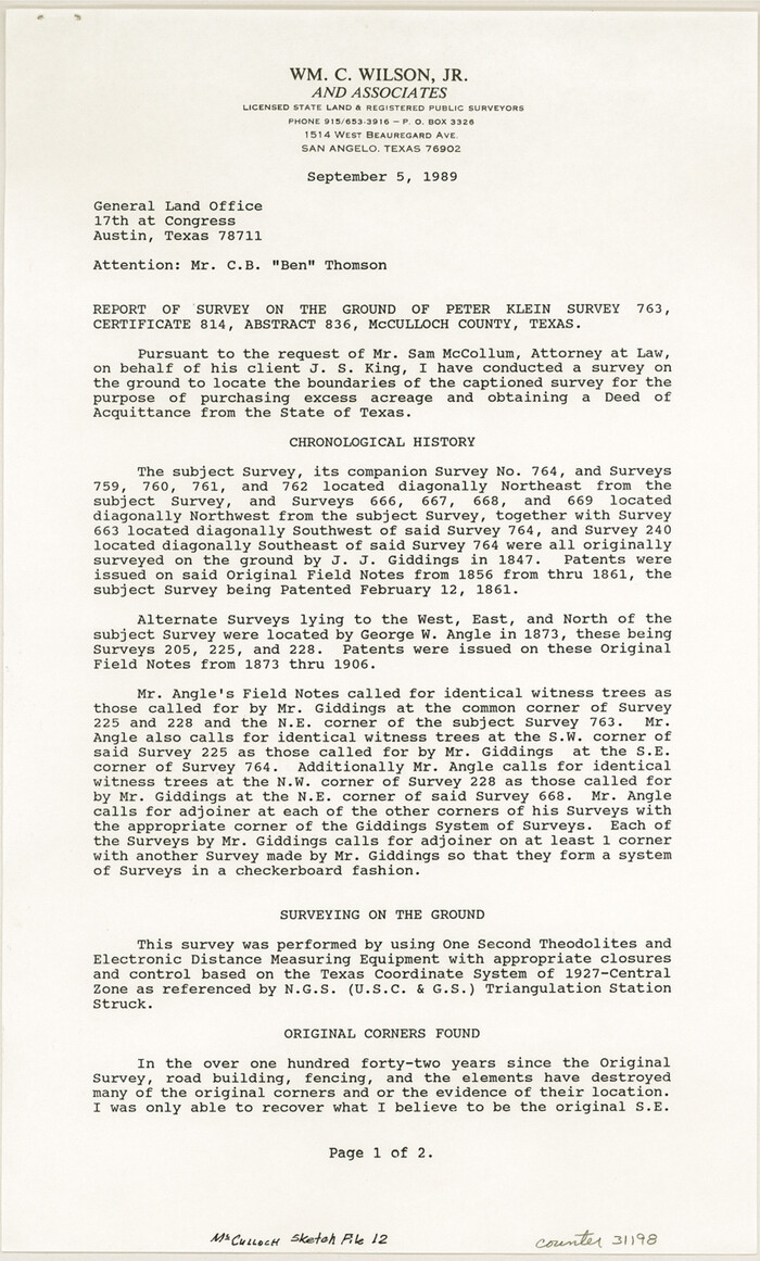

Print $6.00
- Digital $50.00
McCulloch County Sketch File 12
1989
Size 14.2 x 8.6 inches
Map/Doc 31198
Travis County Working Sketch 19
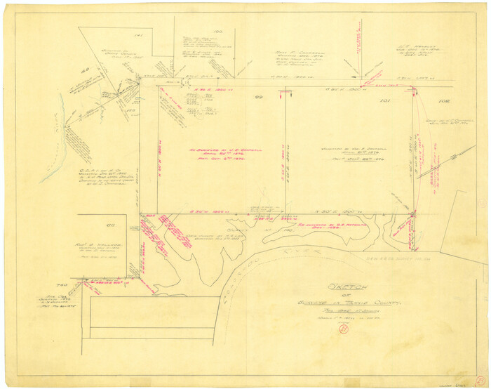

Print $20.00
- Digital $50.00
Travis County Working Sketch 19
1945
Size 32.2 x 40.6 inches
Map/Doc 69403
Dallas County Sketch File 15


Print $10.00
- Digital $50.00
Dallas County Sketch File 15
1863
Size 11.5 x 8.5 inches
Map/Doc 20430
[C. C. Slaughter Block 1, T. T. RR. Co. Block 2]
![90622, [C. C. Slaughter Block 1, T. T. RR. Co. Block 2], Twichell Survey Records](https://historictexasmaps.com/wmedia_w700/maps/90622-1.tif.jpg)
![90622, [C. C. Slaughter Block 1, T. T. RR. Co. Block 2], Twichell Survey Records](https://historictexasmaps.com/wmedia_w700/maps/90622-1.tif.jpg)
Print $3.00
- Digital $50.00
[C. C. Slaughter Block 1, T. T. RR. Co. Block 2]
Size 10.5 x 10.8 inches
Map/Doc 90622
![64725, [F. W. & D. C. Ry. Co. Alignment and Right of Way Map, Clay County], General Map Collection](https://historictexasmaps.com/wmedia_w1800h1800/maps/64725-1.tif.jpg)