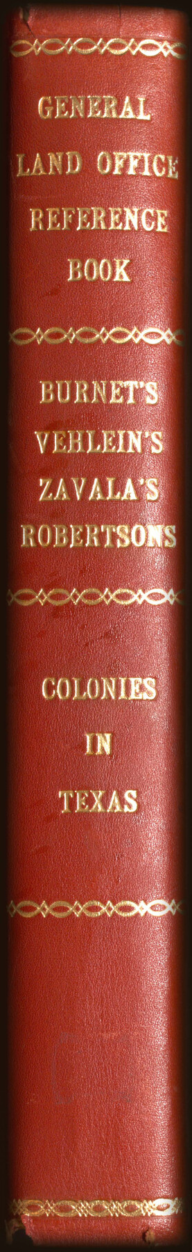
General Land Office Reference Book: Burnet's, Vehlein's, Zavala's, Robertson's Colonies in Texas
-
Map/Doc
94555
-
Collection
Historical Volumes
-
Subjects
Bound Volume Colony Mexican Texas
-
Medium
paper, bound volume
-
Comments
Ledger with list of colonists, dates, petition numbers, and remarks.
Part of: Historical Volumes
Index to Titles, Field Notes, and Plats [in the Spanish Collection of the General Land Office]
![96676, Index to Titles, Field Notes, and Plats [in the Spanish Collection of the General Land Office], Historical Volumes](https://historictexasmaps.com/wmedia_w700/pdf_converted_jpg/qi_pdf_thumbnail_40663.jpg)
Index to Titles, Field Notes, and Plats [in the Spanish Collection of the General Land Office]
Map/Doc 96676
Record of Spanish Titles, Vol. V

Record of Spanish Titles, Vol. V
1845
Size 16.4 x 12.3 inches
Map/Doc 94530
English Field Notes of the Spanish Archives - Books DB3 & WR

English Field Notes of the Spanish Archives - Books DB3 & WR
1835
Map/Doc 96548
Correspondence between the Political Chief of Nacogdoches and the Ayuntamiento (CPCNA)

Correspondence between the Political Chief of Nacogdoches and the Ayuntamiento (CPCNA)
Size 12.7 x 9.7 inches
Map/Doc 94263
Transcribed English Field Notes from Austin's Colonies and Transcribed Spanish Titles from Robertson's Colony, 1825-1835

Transcribed English Field Notes from Austin's Colonies and Transcribed Spanish Titles from Robertson's Colony, 1825-1835
1825
Size 17.0 x 12.1 inches
Map/Doc 94532
Minutes of the Ayuntamiento of San Felipe de Austin Vol. 3

Minutes of the Ayuntamiento of San Felipe de Austin Vol. 3
Size 13.1 x 10.3 inches
Map/Doc 94262
English Field Notes of the Spanish Archives - Book 6

English Field Notes of the Spanish Archives - Book 6
1836
Map/Doc 96532
Translations of Titles issued under the Second Contract [500 Families] of Stephen F. Austin with the Government of Coahuila & Texas - Volume 1
![94546, Translations of Titles issued under the Second Contract [500 Families] of Stephen F. Austin with the Government of Coahuila & Texas - Volume 1, Historical Volumes](https://historictexasmaps.com/wmedia_w700/pdf_converted_jpg/qi_pdf_thumbnail_39135.jpg)
Translations of Titles issued under the Second Contract [500 Families] of Stephen F. Austin with the Government of Coahuila & Texas - Volume 1
1840
Map/Doc 94546
Translations of Titles in Vol. 15, Spanish Archives

Translations of Titles in Vol. 15, Spanish Archives
1872
Map/Doc 94550
Minutes of the Ayuntamiento of San Felipe de Austin Vol. 2

Minutes of the Ayuntamiento of San Felipe de Austin Vol. 2
Size 13.3 x 10.5 inches
Map/Doc 94261
English Field Notes of the Spanish Archives - Book 11

English Field Notes of the Spanish Archives - Book 11
1832
Map/Doc 96537
Translations & Index to Field Notes of Spanish Titles, Vol. 2 (Jackson - Wood Counties)

Translations & Index to Field Notes of Spanish Titles, Vol. 2 (Jackson - Wood Counties)
Map/Doc 94552
You may also like
Van Zandt County

Print $40.00
- Digital $50.00
Van Zandt County
1921
Size 43.3 x 48.1 inches
Map/Doc 93124

Orange County Sketch File 42

Print $40.00
- Digital $50.00
Orange County Sketch File 42
1873
Size 12.8 x 15.8 inches
Map/Doc 33383
The Republic County of Nacogdoches. December 6, 1841

Print $20.00
The Republic County of Nacogdoches. December 6, 1841
2020
Size 15.9 x 21.8 inches
Map/Doc 96246
Brewster County Boundary File 1a

Print $80.00
- Digital $50.00
Brewster County Boundary File 1a
Size 94.0 x 13.8 inches
Map/Doc 50738
Slaton-Tex Sewer System

Print $20.00
- Digital $50.00
Slaton-Tex Sewer System
1922
Size 44.3 x 30.6 inches
Map/Doc 92819
Flight Mission No. CRC-3R, Frame 15, Chambers County

Print $20.00
- Digital $50.00
Flight Mission No. CRC-3R, Frame 15, Chambers County
1956
Size 18.5 x 22.2 inches
Map/Doc 84789
Runnels County Rolled Sketch 34

Print $20.00
- Digital $50.00
Runnels County Rolled Sketch 34
Size 30.1 x 35.1 inches
Map/Doc 7522
Angelina County Sketch File 32

Print $18.00
- Digital $50.00
Angelina County Sketch File 32
1994
Size 14.2 x 8.6 inches
Map/Doc 13092
Crane County Sketch File 29

Print $6.00
- Digital $50.00
Crane County Sketch File 29
1930
Size 12.8 x 10.4 inches
Map/Doc 19608
Blanco County Sketch File 30

Print $5.00
- Digital $50.00
Blanco County Sketch File 30
Size 9.1 x 10.6 inches
Map/Doc 14627
State Land for Sale on Mustang Island

Print $20.00
- Digital $50.00
State Land for Sale on Mustang Island
1910
Size 20.0 x 29.5 inches
Map/Doc 91493