[Map of the Location Survey of the Hearne & Brazos Valley Railroad]
Z-2-89
-
Map/Doc
64348
-
Collection
General Map Collection
-
Object Dates
1891 (Creation Date)
1891/11/27 (File Date)
-
Counties
Robertson
-
Subjects
Railroads
-
Height x Width
38.4 x 65.1 inches
97.5 x 165.4 cm
-
Medium
linen, manuscript
-
Scale
400 ft = 1 inch
-
Comments
See 64347 for other segment of this map.
-
Features
H&BV
Mumford
Part of: General Map Collection
Howard County Boundary File 4b


Print $24.00
- Digital $50.00
Howard County Boundary File 4b
Size 11.3 x 8.9 inches
Map/Doc 55168
Liberty County Sketch File 60


Print $12.00
- Digital $50.00
Liberty County Sketch File 60
1943
Size 14.2 x 8.6 inches
Map/Doc 30071
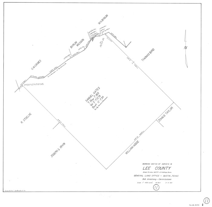
Lee County Working Sketch 11

Print $20.00
- Digital $50.00
Lee County Working Sketch 11
1980
Size 25.2 x 25.7 inches
Map/Doc 70390
Map of Bee County


Print $20.00
- Digital $50.00
Map of Bee County
1879
Size 25.3 x 22.8 inches
Map/Doc 3288
Brewster County Rolled Sketch 114


Print $20.00
- Digital $50.00
Brewster County Rolled Sketch 114
1964
Size 11.8 x 18.5 inches
Map/Doc 5264
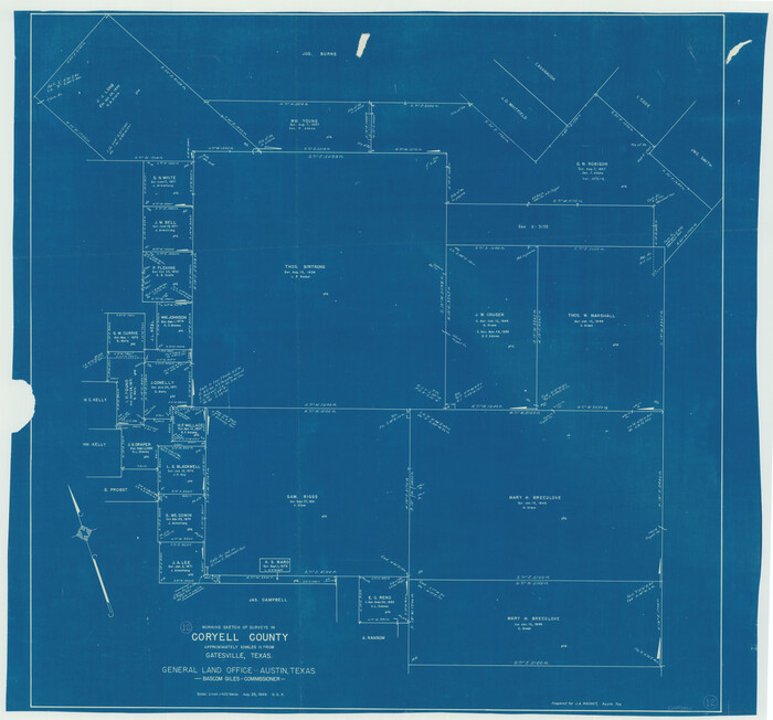
Coryell County Working Sketch 12

Print $20.00
- Digital $50.00
Coryell County Working Sketch 12
1949
Size 36.0 x 38.7 inches
Map/Doc 68219
Runnels County Sketch File 3


Print $4.00
Runnels County Sketch File 3
1871
Size 13.0 x 8.1 inches
Map/Doc 35432
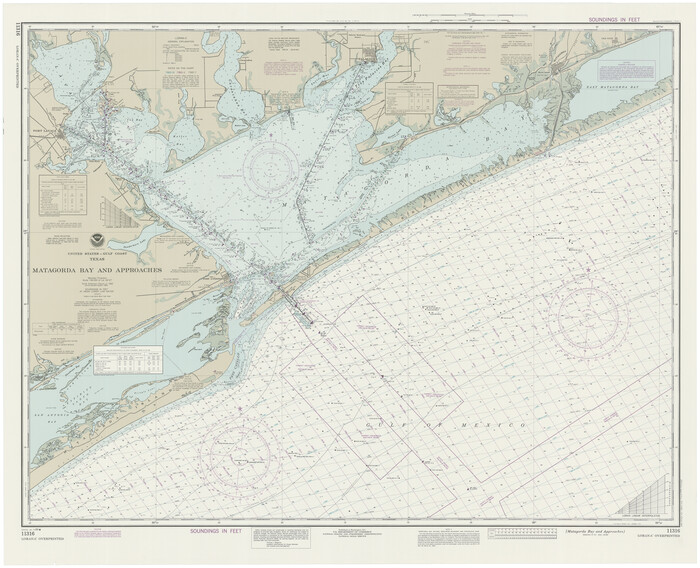
Matagorda Bay and Approaches

Print $20.00
- Digital $50.00
Matagorda Bay and Approaches
1989
Size 36.3 x 45.0 inches
Map/Doc 73389
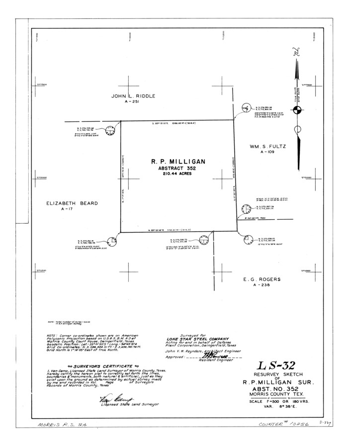
Morris County Rolled Sketch 2A

Print $20.00
- Digital $50.00
Morris County Rolled Sketch 2A
Size 24.0 x 18.7 inches
Map/Doc 10256
Anderson County Boundary File 6


Print $9.00
- Digital $50.00
Anderson County Boundary File 6
Size 14.3 x 8.7 inches
Map/Doc 49747
Kenedy County Aerial Photograph Index Sheet 6


Print $20.00
- Digital $50.00
Kenedy County Aerial Photograph Index Sheet 6
1943
Size 23.4 x 18.4 inches
Map/Doc 83716
You may also like
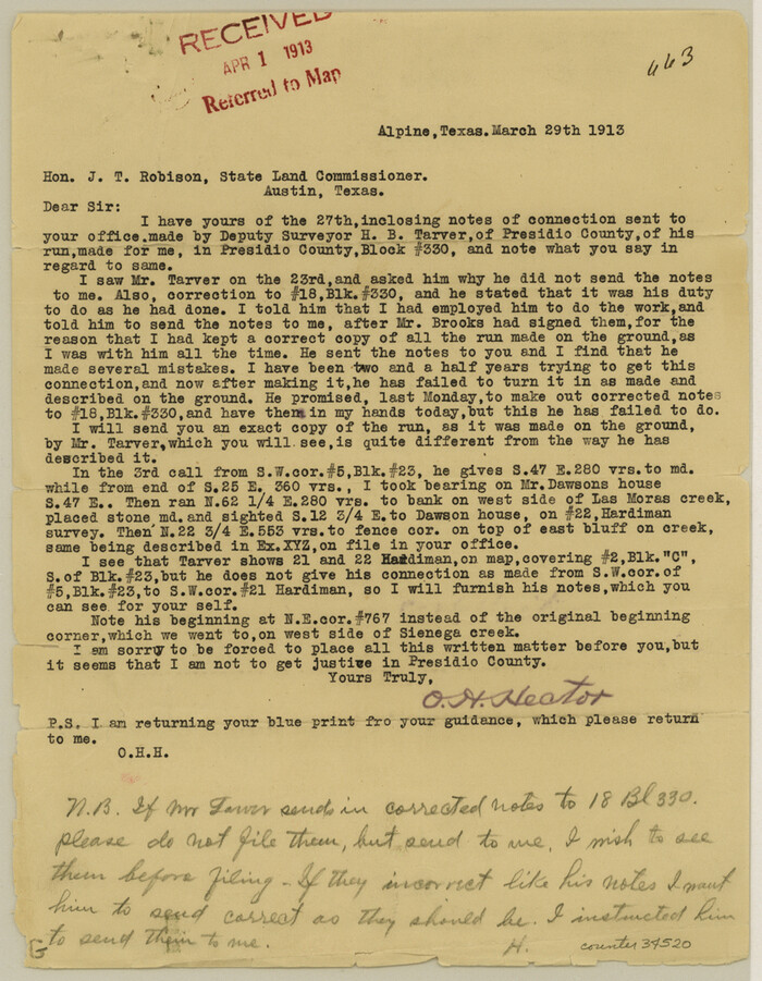
Presidio County Sketch File 43

Print $10.00
- Digital $50.00
Presidio County Sketch File 43
1913
Size 11.2 x 8.7 inches
Map/Doc 34520
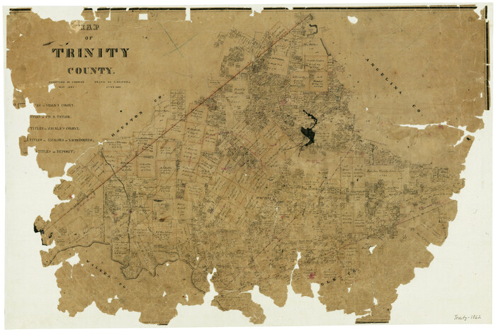
Map of Trinity County

Print $20.00
- Digital $50.00
Map of Trinity County
1862
Size 21.0 x 31.3 inches
Map/Doc 4096
Copy of Surveyor's Field Book, Morris Browning - In Blocks 7, 5 & 4, I&GNRRCo., Hutchinson and Carson Counties, Texas


Print $2.00
- Digital $50.00
Copy of Surveyor's Field Book, Morris Browning - In Blocks 7, 5 & 4, I&GNRRCo., Hutchinson and Carson Counties, Texas
1888
Size 6.9 x 8.8 inches
Map/Doc 62283
Angelina County Sketch File 15d

Print $20.00
- Digital $50.00
Angelina County Sketch File 15d
1863
Size 8.0 x 6.6 inches
Map/Doc 12980
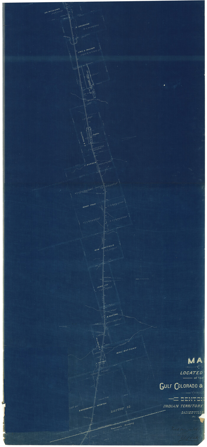
Map of Located Land of Gulf, Colorado & Santa Fe Ry. Co. through Denton

Print $40.00
- Digital $50.00
Map of Located Land of Gulf, Colorado & Santa Fe Ry. Co. through Denton
Size 55.5 x 25.8 inches
Map/Doc 64341
Comanche County Working Sketch 32
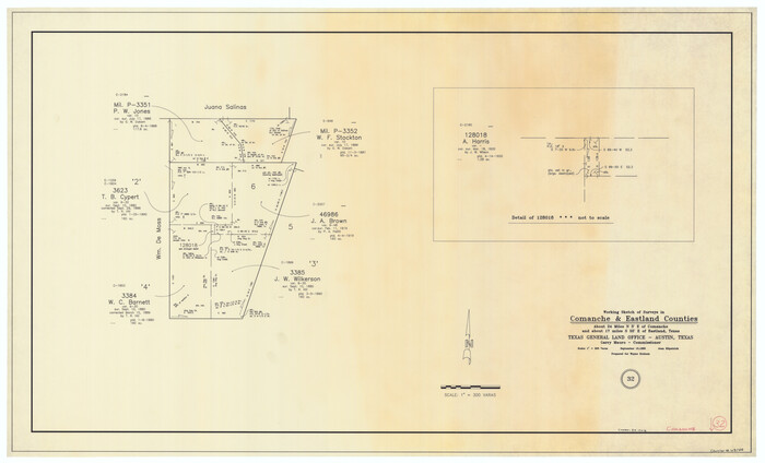

Print $20.00
- Digital $50.00
Comanche County Working Sketch 32
1992
Size 23.5 x 38.8 inches
Map/Doc 68166
Rusk County Working Sketch 33
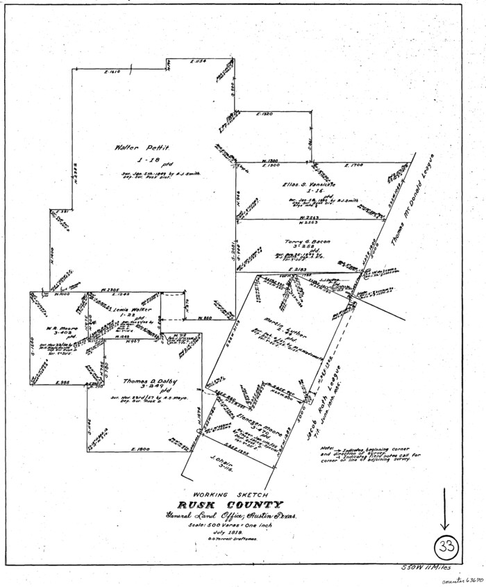

Print $20.00
- Digital $50.00
Rusk County Working Sketch 33
1919
Size 20.1 x 16.6 inches
Map/Doc 63670
Old Miscellaneous File 38
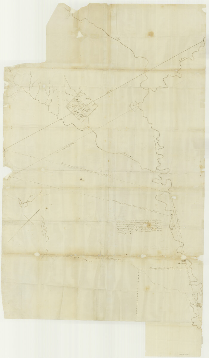

Print $40.00
- Digital $50.00
Old Miscellaneous File 38
1841
Size 57.8 x 33.9 inches
Map/Doc 75282
Section 77, Block "A", Sylvan Sanders Survey
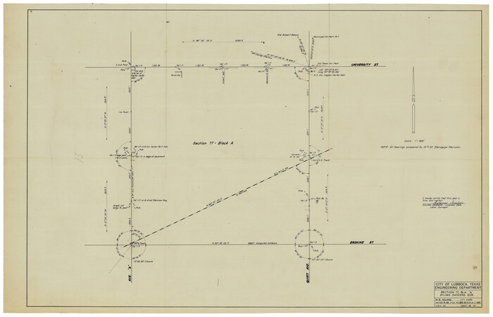

Print $20.00
- Digital $50.00
Section 77, Block "A", Sylvan Sanders Survey
1953
Size 24.7 x 16.0 inches
Map/Doc 92716
Sterling County Rolled Sketch 9


Print $20.00
- Digital $50.00
Sterling County Rolled Sketch 9
1929
Size 29.3 x 24.3 inches
Map/Doc 7845
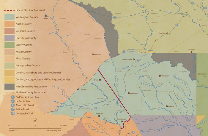
From Citizens of Washington County to Establish a New Eastern Boundary, November 30, 1837

Print $20.00
From Citizens of Washington County to Establish a New Eastern Boundary, November 30, 1837
2020
Size 14.2 x 21.7 inches
Map/Doc 96375
Sketch of 103rd Meridian, W. L. Showing Conflict of Capitol Leagues


Print $40.00
- Digital $50.00
Sketch of 103rd Meridian, W. L. Showing Conflict of Capitol Leagues
Size 26.9 x 85.1 inches
Map/Doc 65505
![64348, [Map of the Location Survey of the Hearne & Brazos Valley Railroad], General Map Collection](https://historictexasmaps.com/wmedia_w1800h1800/maps/64348.tif.jpg)
