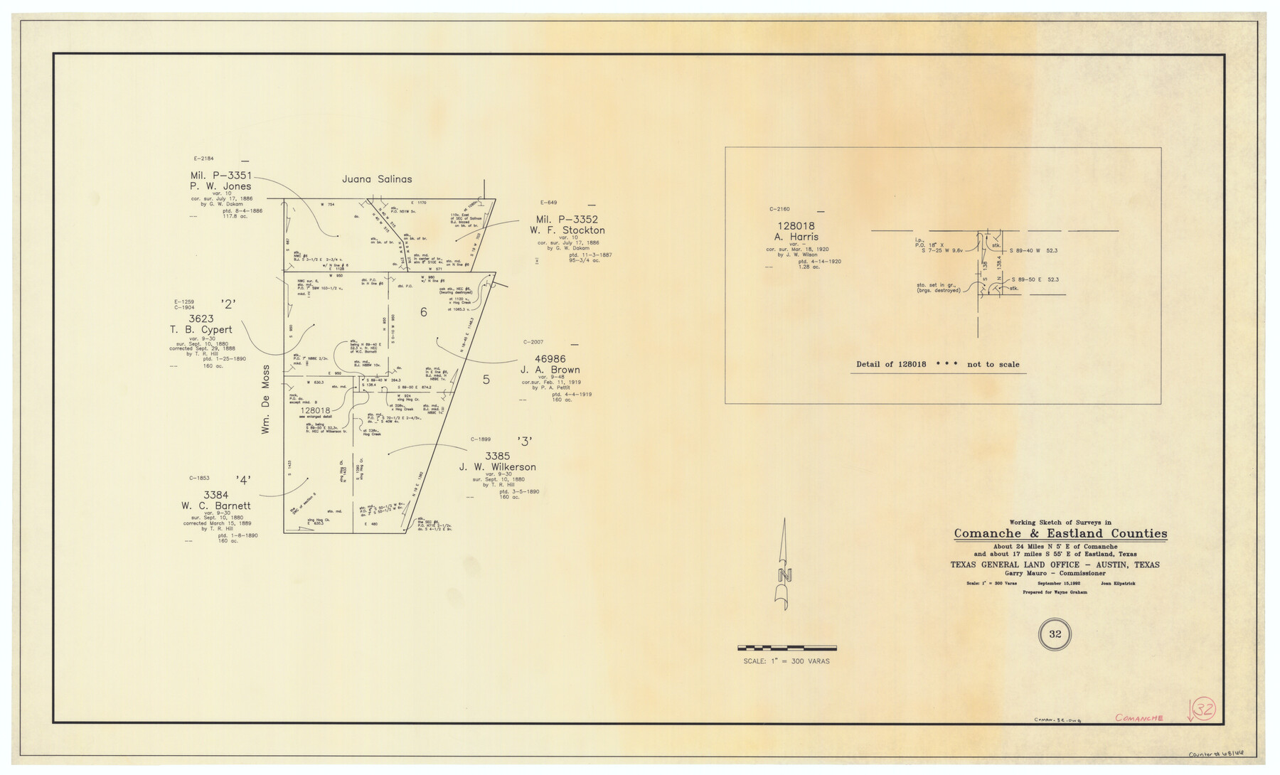
Comanche County Working Sketch 32
-
Map/Doc
68166
-
Collection
General Map Collection
-
Object Dates
9/15/1992 (Creation Date)
-
People and Organizations
Joan Kilpatrick (Draftsman)
-
Counties
Comanche Eastland
-
Subjects
Surveying Working Sketch
-
Height x Width
23.5 x 38.8 inches
59.7 x 98.6 cm
-
Scale
1" = 300 varas
Part of: General Map Collection

Flight Mission No. DCL-6C, Frame 118, Kenedy County

Print $20.00
- Digital $50.00
Flight Mission No. DCL-6C, Frame 118, Kenedy County
1943
Size 18.6 x 22.4 inches
Map/Doc 85948
McMullen County Working Sketch 18

Print $20.00
- Digital $50.00
McMullen County Working Sketch 18
1943
Size 17.0 x 16.6 inches
Map/Doc 70719
Presidio County Working Sketch 142

Print $20.00
- Digital $50.00
Presidio County Working Sketch 142
1990
Size 24.5 x 21.7 inches
Map/Doc 71820
Kendall County

Print $20.00
- Digital $50.00
Kendall County
1946
Size 42.5 x 36.8 inches
Map/Doc 95553
Harris County Historic Topographic 20

Print $20.00
- Digital $50.00
Harris County Historic Topographic 20
1915
Size 29.3 x 22.6 inches
Map/Doc 65831
Lampasas County Sketch File 15

Print $20.00
- Digital $50.00
Lampasas County Sketch File 15
1888
Size 24.5 x 27.1 inches
Map/Doc 11975
Bandera County Working Sketch 24

Print $20.00
- Digital $50.00
Bandera County Working Sketch 24
1950
Size 31.6 x 33.0 inches
Map/Doc 67620
Map of Newton County

Print $40.00
- Digital $50.00
Map of Newton County
1894
Size 74.9 x 27.7 inches
Map/Doc 16778
Van Zandt County Sketch File 18

Print $4.00
- Digital $50.00
Van Zandt County Sketch File 18
1858
Size 9.7 x 7.7 inches
Map/Doc 39420
McMullen County Rolled Sketch 16

Print $20.00
- Digital $50.00
McMullen County Rolled Sketch 16
1949
Size 30.2 x 25.0 inches
Map/Doc 6733
Red River County Working Sketch 12

Print $20.00
- Digital $50.00
Red River County Working Sketch 12
Size 17.3 x 20.0 inches
Map/Doc 71995
You may also like
Hill County Sketch File 8a

Print $4.00
- Digital $50.00
Hill County Sketch File 8a
1858
Size 10.2 x 8.1 inches
Map/Doc 26474
Calhoun County Rolled Sketch 14

Print $20.00
- Digital $50.00
Calhoun County Rolled Sketch 14
Size 22.1 x 40.6 inches
Map/Doc 5460
Kendall County Working Sketch 13

Print $20.00
- Digital $50.00
Kendall County Working Sketch 13
1959
Size 25.5 x 30.5 inches
Map/Doc 66685
Comal County Working Sketch 6

Print $20.00
- Digital $50.00
Comal County Working Sketch 6
1950
Size 25.1 x 24.2 inches
Map/Doc 68172

[Galveston, Harrisburg & San Antonio Railway]
![64408, [Galveston, Harrisburg & San Antonio Railway], General Map Collection](https://historictexasmaps.com/wmedia_w700/maps/64408.tif.jpg)
Print $20.00
- Digital $50.00
[Galveston, Harrisburg & San Antonio Railway]
1892
Size 13.5 x 33.6 inches
Map/Doc 64408
[Capitol Leagues 217, 218, 219 and 220]
![91460, [Capitol Leagues 217, 218, 219 and 220], Twichell Survey Records](https://historictexasmaps.com/wmedia_w700/maps/91460-1.tif.jpg)
Print $20.00
- Digital $50.00
[Capitol Leagues 217, 218, 219 and 220]
Size 23.2 x 10.3 inches
Map/Doc 91460
Jeff Davis County Working Sketch 9

Print $20.00
- Digital $50.00
Jeff Davis County Working Sketch 9
1943
Size 28.5 x 27.3 inches
Map/Doc 66504
Val Verde County Sketch File 37

Print $24.00
- Digital $50.00
Val Verde County Sketch File 37
1938
Size 15.5 x 22.3 inches
Map/Doc 12578
Refugio County Working Sketch 17

Print $20.00
- Digital $50.00
Refugio County Working Sketch 17
1980
Size 17.7 x 30.1 inches
Map/Doc 63526
[Right of Way and Track Map, the Missouri, Kansas and Texas Ry. of Texas - Henrietta Division]
![64766, [Right of Way and Track Map, the Missouri, Kansas and Texas Ry. of Texas - Henrietta Division], General Map Collection](https://historictexasmaps.com/wmedia_w700/maps/64766.tif.jpg)
Print $20.00
- Digital $50.00
[Right of Way and Track Map, the Missouri, Kansas and Texas Ry. of Texas - Henrietta Division]
1918
Size 11.8 x 26.9 inches
Map/Doc 64766
[Blocks 242, 243, and 244]
![90999, [Blocks 242, 243, and 244], Twichell Survey Records](https://historictexasmaps.com/wmedia_w700/maps/90999-1.tif.jpg)
Print $2.00
- Digital $50.00
[Blocks 242, 243, and 244]
Size 9.2 x 14.8 inches
Map/Doc 90999