[St. Louis & Southwestern]
Z-2-70
-
Map/Doc
64277
-
Collection
General Map Collection
-
Counties
Franklin
-
Subjects
Railroads
-
Height x Width
20.6 x 28.7 inches
52.3 x 72.9 cm
-
Medium
blueprint/diazo
-
Comments
See counter nos. 64276 through 64281 for other sheets of the map.
-
Features
SLS
Part of: General Map Collection
Nolan County Working Sketch 9


Print $20.00
- Digital $50.00
Nolan County Working Sketch 9
1964
Size 25.0 x 36.8 inches
Map/Doc 71300
Nacogdoches County Sketch File 20


Print $26.00
- Digital $50.00
Nacogdoches County Sketch File 20
Size 12.6 x 7.9 inches
Map/Doc 32275
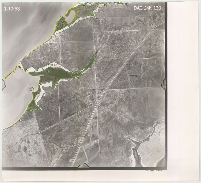
Flight Mission No. DAG-24K, Frame 130, Matagorda County

Print $20.00
- Digital $50.00
Flight Mission No. DAG-24K, Frame 130, Matagorda County
1953
Size 17.1 x 18.8 inches
Map/Doc 86548
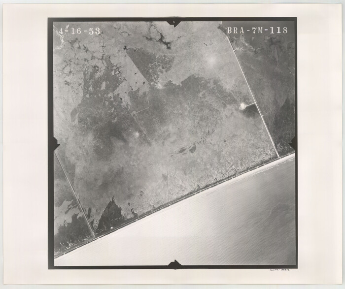
Flight Mission No. BRA-7M, Frame 118, Jefferson County

Print $20.00
- Digital $50.00
Flight Mission No. BRA-7M, Frame 118, Jefferson County
1953
Size 18.6 x 22.2 inches
Map/Doc 85512
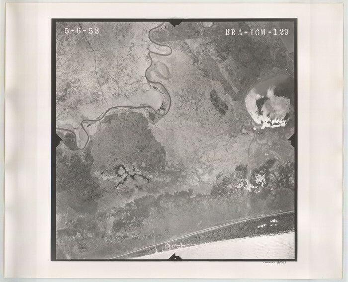
Flight Mission No. BRA-16M, Frame 129, Jefferson County

Print $20.00
- Digital $50.00
Flight Mission No. BRA-16M, Frame 129, Jefferson County
1953
Size 18.4 x 22.7 inches
Map/Doc 85739
San Antonio & Aransas Pass R.R. Right of Way from Eagle Lake to Brazos River


Print $20.00
- Digital $50.00
San Antonio & Aransas Pass R.R. Right of Way from Eagle Lake to Brazos River
1895
Size 29.7 x 13.0 inches
Map/Doc 64257
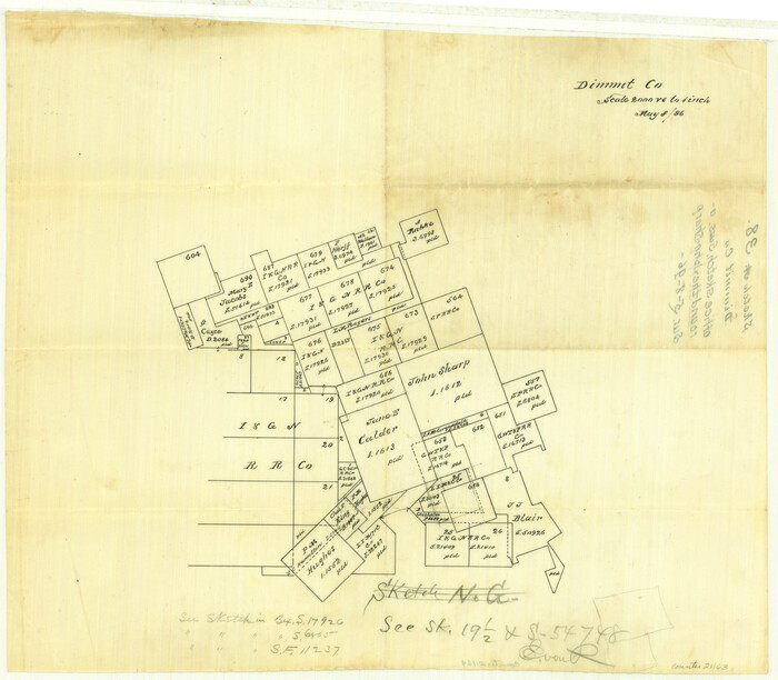
Dimmit County Sketch File 38

Print $40.00
- Digital $50.00
Dimmit County Sketch File 38
1896
Size 14.8 x 16.9 inches
Map/Doc 21163
[Map showing resurvey of Capitol Leagues in Hartley & Oldham Counties, Texas]
![1754, [Map showing resurvey of Capitol Leagues in Hartley & Oldham Counties, Texas], General Map Collection](https://historictexasmaps.com/wmedia_w700/maps/1754-1.tif.jpg)
![1754, [Map showing resurvey of Capitol Leagues in Hartley & Oldham Counties, Texas], General Map Collection](https://historictexasmaps.com/wmedia_w700/maps/1754-1.tif.jpg)
Print $20.00
- Digital $50.00
[Map showing resurvey of Capitol Leagues in Hartley & Oldham Counties, Texas]
1918
Size 30.8 x 37.4 inches
Map/Doc 1754
Flight Mission No. BQR-4K, Frame 67, Brazoria County


Print $20.00
- Digital $50.00
Flight Mission No. BQR-4K, Frame 67, Brazoria County
1952
Size 18.7 x 22.5 inches
Map/Doc 84000
United States and Additions, 1820
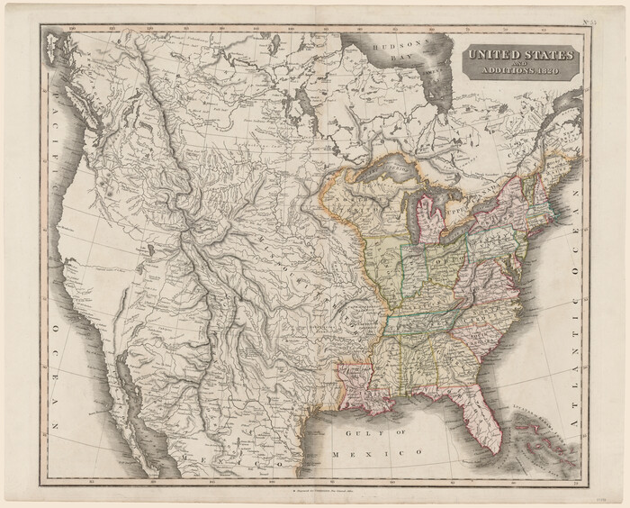

Print $20.00
- Digital $50.00
United States and Additions, 1820
1820
Size 21.8 x 27.0 inches
Map/Doc 93798
Houston County Working Sketch 28
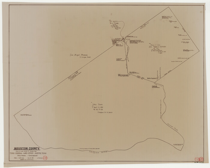

Print $20.00
- Digital $50.00
Houston County Working Sketch 28
1988
Size 30.2 x 37.8 inches
Map/Doc 66258
You may also like
Jeff Davis County Rolled Sketch 25


Print $20.00
- Digital $50.00
Jeff Davis County Rolled Sketch 25
1953
Size 22.6 x 32.1 inches
Map/Doc 6373
General Highway Map, Glasscock County, Texas


Print $20.00
General Highway Map, Glasscock County, Texas
1940
Size 18.5 x 25.2 inches
Map/Doc 79100
Bell County Sketch File 23a
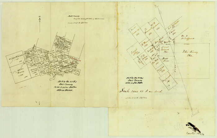

Print $6.00
- Digital $50.00
Bell County Sketch File 23a
1873
Size 10.0 x 15.7 inches
Map/Doc 14416
[Surveys Surrounding I. G. Yates S.F. 12394]
![91560, [Surveys Surrounding I. G. Yates S.F. 12394], Twichell Survey Records](https://historictexasmaps.com/wmedia_w700/maps/91560-1.tif.jpg)
![91560, [Surveys Surrounding I. G. Yates S.F. 12394], Twichell Survey Records](https://historictexasmaps.com/wmedia_w700/maps/91560-1.tif.jpg)
Print $20.00
- Digital $50.00
[Surveys Surrounding I. G. Yates S.F. 12394]
Size 18.6 x 7.4 inches
Map/Doc 91560
A map of the Anthracite Coal Fields of Pennsylvania embracing all of Schuylkill County and parts of Carbon, Luzerne, Columbia, Northumberland, Dauphin, and Lebanon Counties


Print $20.00
- Digital $50.00
A map of the Anthracite Coal Fields of Pennsylvania embracing all of Schuylkill County and parts of Carbon, Luzerne, Columbia, Northumberland, Dauphin, and Lebanon Counties
1863
Size 27.1 x 39.3 inches
Map/Doc 94054
Harris County Working Sketch 23


Print $20.00
- Digital $50.00
Harris County Working Sketch 23
1926
Size 14.0 x 20.0 inches
Map/Doc 65915
Brewster County Rolled Sketch 24A
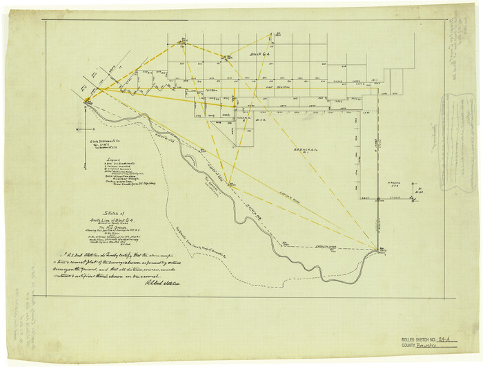

Print $20.00
- Digital $50.00
Brewster County Rolled Sketch 24A
1910
Size 19.8 x 26.1 inches
Map/Doc 5208
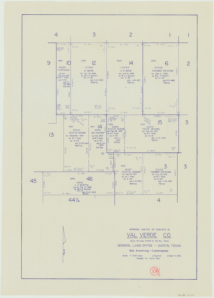
Val Verde County Working Sketch 104

Print $20.00
- Digital $50.00
Val Verde County Working Sketch 104
1982
Size 26.4 x 19.0 inches
Map/Doc 72239
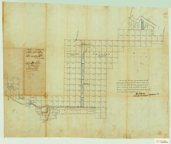
Hardeman County Sketch File 14a

Print $20.00
- Digital $50.00
Hardeman County Sketch File 14a
Size 24.4 x 29.0 inches
Map/Doc 11626
A Pocket Guide to Austin, Texas - Area Map and Downtown Map
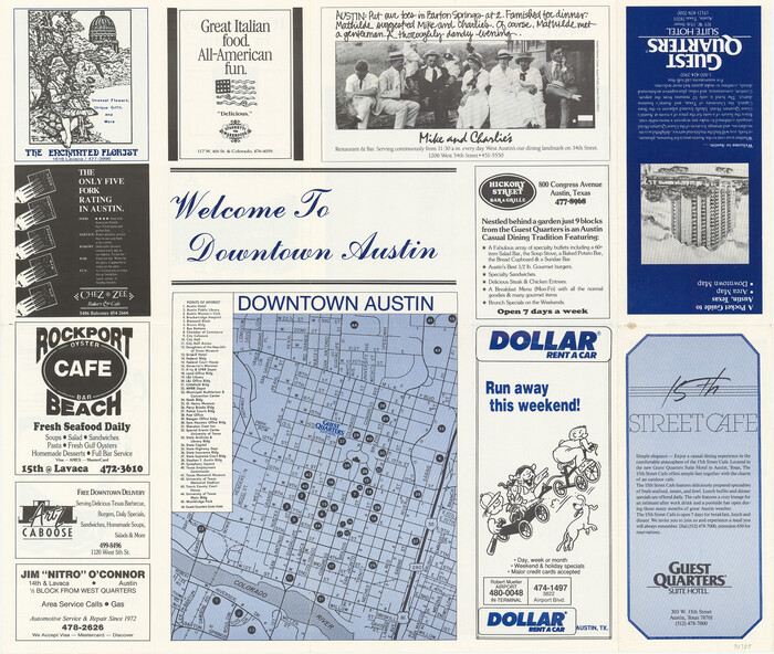

A Pocket Guide to Austin, Texas - Area Map and Downtown Map
Size 17.0 x 20.1 inches
Map/Doc 94385
Kerr County Sketch File 13


Print $11.00
- Digital $50.00
Kerr County Sketch File 13
1927
Size 16.9 x 8.1 inches
Map/Doc 28883
Kerr County Boundary File 55


Print $64.00
- Digital $50.00
Kerr County Boundary File 55
Size 8.7 x 3.5 inches
Map/Doc 64826
![64277, [St. Louis & Southwestern], General Map Collection](https://historictexasmaps.com/wmedia_w1800h1800/maps/64277.tif.jpg)
