[Map showing resurvey of Capitol Leagues in Hartley & Oldham Counties, Texas]
N-2-38
-
Map/Doc
1754
-
Collection
General Map Collection
-
Object Dates
1918 (Creation Date)
10/26/1918 (File Date)
-
People and Organizations
Behn Cook (Surveyor/Engineer)
R.S. Hunnicut (Surveyor/Engineer)
-
Counties
Oldham Hartley
-
Height x Width
30.8 x 37.4 inches
78.2 x 95.0 cm
Part of: General Map Collection
Childress County Sketch File 24


Print $4.00
- Digital $50.00
Childress County Sketch File 24
1917
Size 12.9 x 8.6 inches
Map/Doc 18384
Red River County Sketch File 18
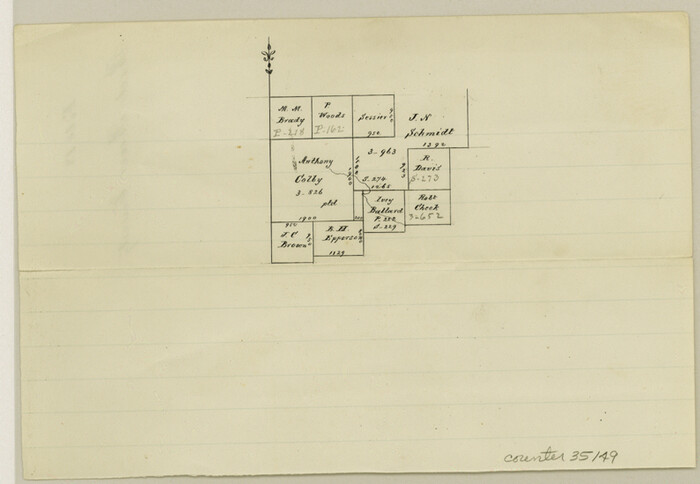

Print $2.00
- Digital $50.00
Red River County Sketch File 18
Size 5.5 x 7.9 inches
Map/Doc 35149
Jeff Davis County Sketch File 39
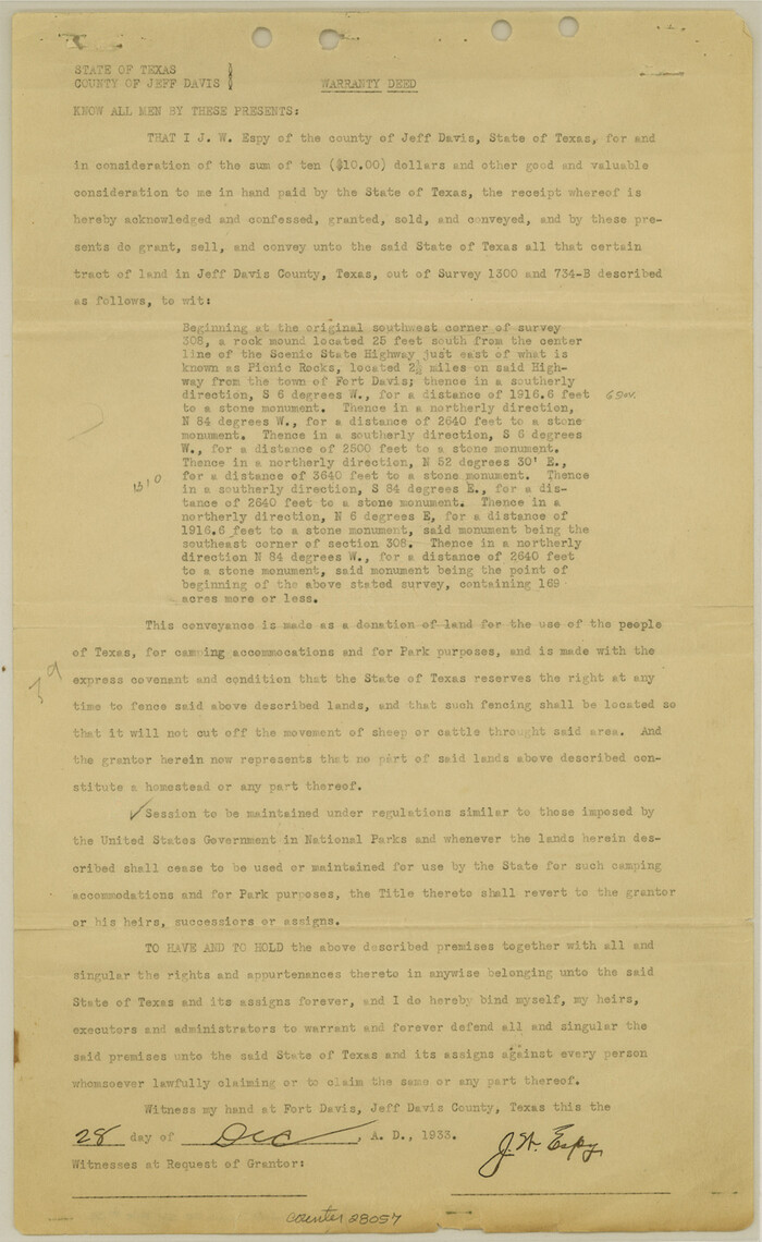

Print $10.00
- Digital $50.00
Jeff Davis County Sketch File 39
Size 14.2 x 8.7 inches
Map/Doc 28057
Flight Mission No. CRE-2R, Frame 152, Jackson County


Print $20.00
- Digital $50.00
Flight Mission No. CRE-2R, Frame 152, Jackson County
1956
Size 16.3 x 16.1 inches
Map/Doc 85363
El Paso County Working Sketch 28
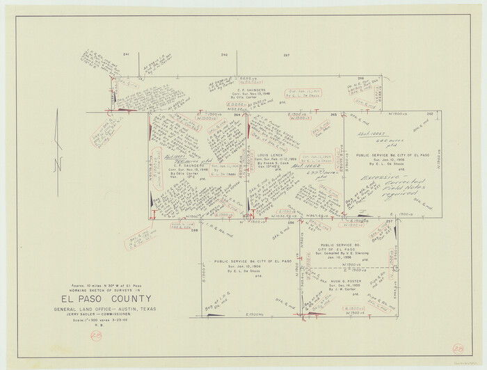

Print $20.00
- Digital $50.00
El Paso County Working Sketch 28
1966
Size 24.0 x 31.5 inches
Map/Doc 69050
Sketch F No. 3 - Preliminary Chart of Key-West Harbor and Approaches
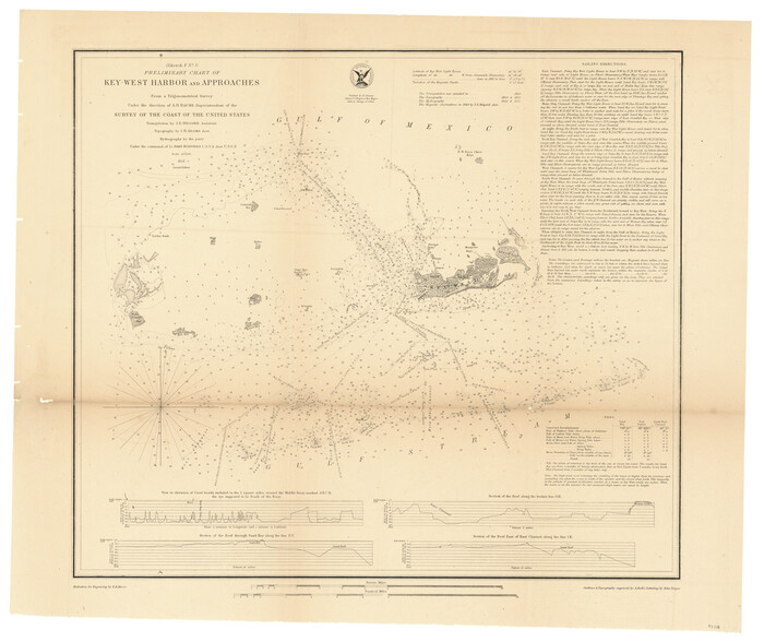

Print $20.00
- Digital $50.00
Sketch F No. 3 - Preliminary Chart of Key-West Harbor and Approaches
1852
Size 17.7 x 21.1 inches
Map/Doc 97218
Dallas County Working Sketch 15


Print $20.00
- Digital $50.00
Dallas County Working Sketch 15
1980
Size 14.3 x 11.4 inches
Map/Doc 68581
Angelina County Sketch File 11d
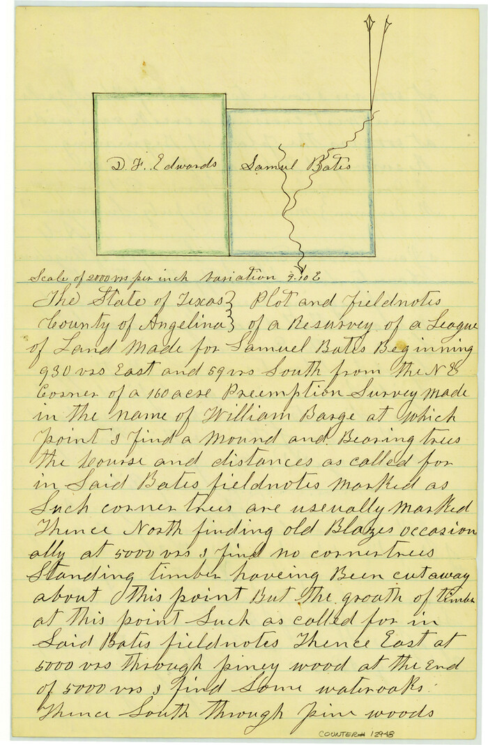

Print $6.00
- Digital $50.00
Angelina County Sketch File 11d
1885
Size 12.7 x 8.3 inches
Map/Doc 12948
Cooke County Working Sketch 10
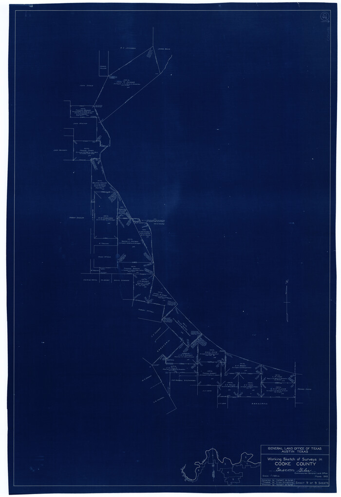

Print $20.00
- Digital $50.00
Cooke County Working Sketch 10
1940
Size 40.5 x 27.8 inches
Map/Doc 68247
Zapata County Working Sketch 9


Print $20.00
- Digital $50.00
Zapata County Working Sketch 9
1951
Size 34.9 x 18.1 inches
Map/Doc 62060
Real County Working Sketch 37
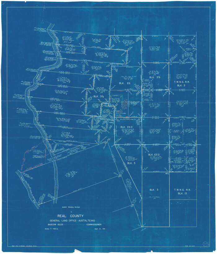

Print $20.00
- Digital $50.00
Real County Working Sketch 37
1951
Size 44.0 x 37.8 inches
Map/Doc 71929
You may also like
Galveston County Working Sketch 22
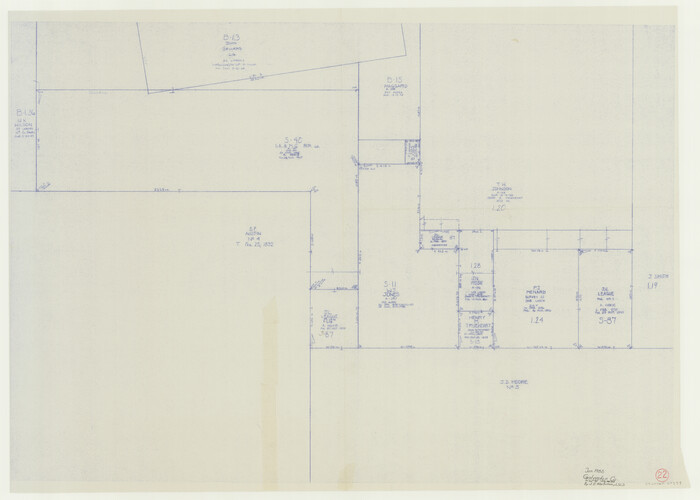

Print $20.00
- Digital $50.00
Galveston County Working Sketch 22
1988
Size 27.4 x 38.3 inches
Map/Doc 69359
Gaines County
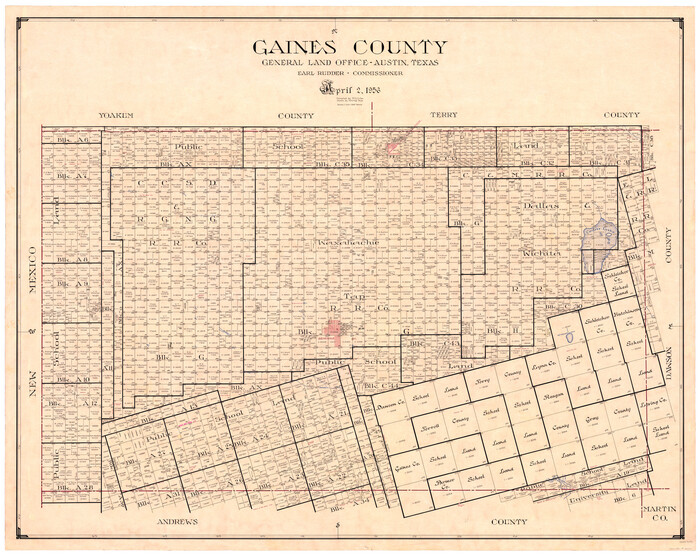

Print $40.00
- Digital $50.00
Gaines County
1956
Size 43.8 x 55.0 inches
Map/Doc 73154
Flight Mission No. DCL-7C, Frame 27, Kenedy County

Print $20.00
- Digital $50.00
Flight Mission No. DCL-7C, Frame 27, Kenedy County
1943
Size 15.4 x 15.2 inches
Map/Doc 86019
Crockett County Working Sketch 12


Print $20.00
- Digital $50.00
Crockett County Working Sketch 12
1915
Size 19.3 x 15.4 inches
Map/Doc 68345
Wichita County Sketch File 33


Print $6.00
- Digital $50.00
Wichita County Sketch File 33
1949
Size 11.0 x 17.0 inches
Map/Doc 40152
Map of lands in King County, Texas owned and leased by the Louisville Land and Cattle Company
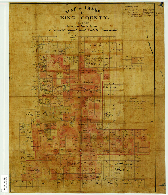

Print $20.00
- Digital $50.00
Map of lands in King County, Texas owned and leased by the Louisville Land and Cattle Company
Size 29.1 x 25.1 inches
Map/Doc 717
Marion County Rolled Sketch 1A


Print $15.00
- Digital $50.00
Marion County Rolled Sketch 1A
1954
Size 9.9 x 15.2 inches
Map/Doc 46610
Flight Mission No. CUG-2P, Frame 85, Kleberg County


Print $20.00
- Digital $50.00
Flight Mission No. CUG-2P, Frame 85, Kleberg County
1956
Size 18.5 x 22.2 inches
Map/Doc 86217
Flight Mission No. DQO-1K, Frame 92, Galveston County


Print $20.00
- Digital $50.00
Flight Mission No. DQO-1K, Frame 92, Galveston County
1952
Size 18.9 x 22.6 inches
Map/Doc 84988
Upton County Rolled Sketch 38
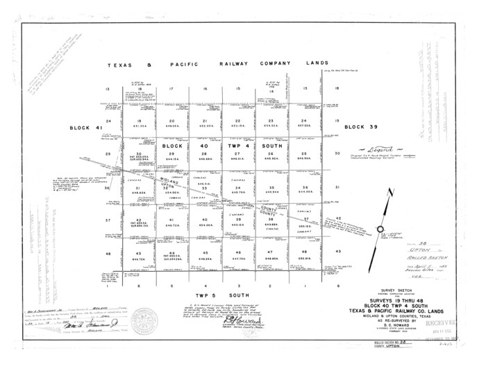

Print $20.00
- Digital $50.00
Upton County Rolled Sketch 38
1953
Size 21.1 x 28.0 inches
Map/Doc 8078
Brazoria County Working Sketch 36


Print $40.00
- Digital $50.00
Brazoria County Working Sketch 36
1981
Size 43.4 x 71.4 inches
Map/Doc 67521
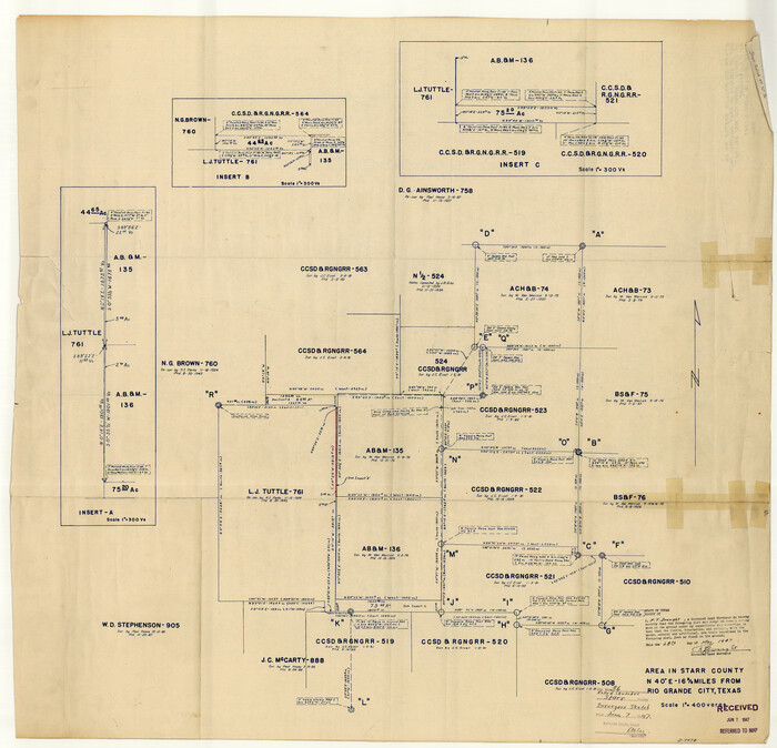
Starr County Rolled Sketch 36

Print $20.00
- Digital $50.00
Starr County Rolled Sketch 36
1947
Size 34.1 x 35.4 inches
Map/Doc 9941
![1754, [Map showing resurvey of Capitol Leagues in Hartley & Oldham Counties, Texas], General Map Collection](https://historictexasmaps.com/wmedia_w1800h1800/maps/1754-1.tif.jpg)
