Jefferson County Rolled Sketch 25B
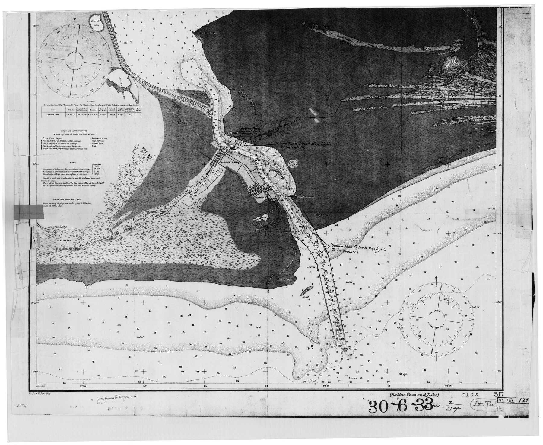
[Part of Sabine Pass and Lake Coastal Chart covering Dennis Gahagan League]
-
Map/Doc
6390
-
Collection
General Map Collection
-
Counties
Jefferson
-
Subjects
Surveying Rolled Sketch
-
Height x Width
23.2 x 28.3 inches
58.9 x 71.9 cm
-
Medium
paper, photocopy
-
Comments
See Jefferson County Sketch File 40 (28228) for deed for Port Arthur Canal.
Related maps
Jefferson County Sketch File 40

Print $16.00
- Digital $50.00
Jefferson County Sketch File 40
1947
Size 12.3 x 7.9 inches
Map/Doc 28228
Part of: General Map Collection
Flight Mission No. DQO-7K, Frame 83, Galveston County

Print $20.00
- Digital $50.00
Flight Mission No. DQO-7K, Frame 83, Galveston County
1952
Size 18.8 x 22.5 inches
Map/Doc 85110
Hale County Sketch File 14

Print $8.00
- Digital $50.00
Hale County Sketch File 14
Size 14.1 x 8.7 inches
Map/Doc 24743
Webb County Rolled Sketch 77

Print $20.00
- Digital $50.00
Webb County Rolled Sketch 77
1980
Size 39.1 x 38.5 inches
Map/Doc 10134
Flight Mission No. DIX-8P, Frame 70, Aransas County

Print $20.00
- Digital $50.00
Flight Mission No. DIX-8P, Frame 70, Aransas County
1956
Size 18.7 x 22.4 inches
Map/Doc 83901
Rio Grande, Weslaco Sheet

Print $20.00
- Digital $50.00
Rio Grande, Weslaco Sheet
1937
Size 37.3 x 37.1 inches
Map/Doc 65125
Pecos County Rolled Sketch JAS-1

Print $40.00
- Digital $50.00
Pecos County Rolled Sketch JAS-1
1936
Size 41.8 x 63.8 inches
Map/Doc 76146
Flight Mission No. DQN-5K, Frame 76, Calhoun County

Print $20.00
- Digital $50.00
Flight Mission No. DQN-5K, Frame 76, Calhoun County
1953
Size 18.7 x 22.3 inches
Map/Doc 84409
Potter County Sketch File 22

Print $30.00
- Digital $50.00
Potter County Sketch File 22
1962
Size 14.2 x 8.6 inches
Map/Doc 34415
Flight Mission No. BQR-12K, Frame 49, Brazoria County

Print $20.00
- Digital $50.00
Flight Mission No. BQR-12K, Frame 49, Brazoria County
1952
Size 18.9 x 22.6 inches
Map/Doc 84064
Real County Working Sketch 26

Print $20.00
- Digital $50.00
Real County Working Sketch 26
1947
Size 28.7 x 28.1 inches
Map/Doc 71918
[St. L. S-W. Ry. Of Texas Map of Lufkin Branch in Cherokee County Texas]
![64022, [St. L. S-W. Ry. Of Texas Map of Lufkin Branch in Cherokee County Texas], General Map Collection](https://historictexasmaps.com/wmedia_w700/maps/64022.tif.jpg)
Print $40.00
- Digital $50.00
[St. L. S-W. Ry. Of Texas Map of Lufkin Branch in Cherokee County Texas]
1912
Size 23.1 x 122.7 inches
Map/Doc 64022
Erath County Working Sketch 52

Print $20.00
- Digital $50.00
Erath County Working Sketch 52
1992
Size 33.9 x 33.6 inches
Map/Doc 69134
You may also like
Hopkins County Sketch File 3

Print $4.00
- Digital $50.00
Hopkins County Sketch File 3
Size 10.0 x 8.1 inches
Map/Doc 26685
Medina County Working Sketch 1

Print $20.00
- Digital $50.00
Medina County Working Sketch 1
1915
Size 14.2 x 14.2 inches
Map/Doc 70916
Cameron County Aerial Photograph Index Sheet 7

Print $20.00
- Digital $50.00
Cameron County Aerial Photograph Index Sheet 7
1955
Size 21.8 x 16.2 inches
Map/Doc 83679
Leon County Working Sketch 39

Print $20.00
- Digital $50.00
Leon County Working Sketch 39
1980
Size 35.1 x 42.2 inches
Map/Doc 70438
Topographical Map of the country between San Antonio & Colorado Rivers in the State of Texas.

Print $40.00
Topographical Map of the country between San Antonio & Colorado Rivers in the State of Texas.
1864
Size 53.2 x 74.8 inches
Map/Doc 88606
McMullen County Sketch File 41

Print $20.00
- Digital $50.00
McMullen County Sketch File 41
1939
Size 20.6 x 17.1 inches
Map/Doc 12065
Camp County Working Sketch 1

Print $20.00
- Digital $50.00
Camp County Working Sketch 1
1970
Size 32.9 x 29.7 inches
Map/Doc 67877
Map of Hunt County

Print $20.00
- Digital $50.00
Map of Hunt County
1851
Size 27.0 x 19.8 inches
Map/Doc 4569
Eastland County Working Sketch 19

Print $20.00
- Digital $50.00
Eastland County Working Sketch 19
1920
Size 15.7 x 16.4 inches
Map/Doc 68800

Nolan County Working Sketch 6

Print $20.00
- Digital $50.00
Nolan County Working Sketch 6
1950
Size 27.2 x 26.0 inches
Map/Doc 71297
La Salle County Rolled Sketch 18

Print $20.00
- Digital $50.00
La Salle County Rolled Sketch 18
Size 29.8 x 20.6 inches
Map/Doc 6582