Hale County Sketch File 14
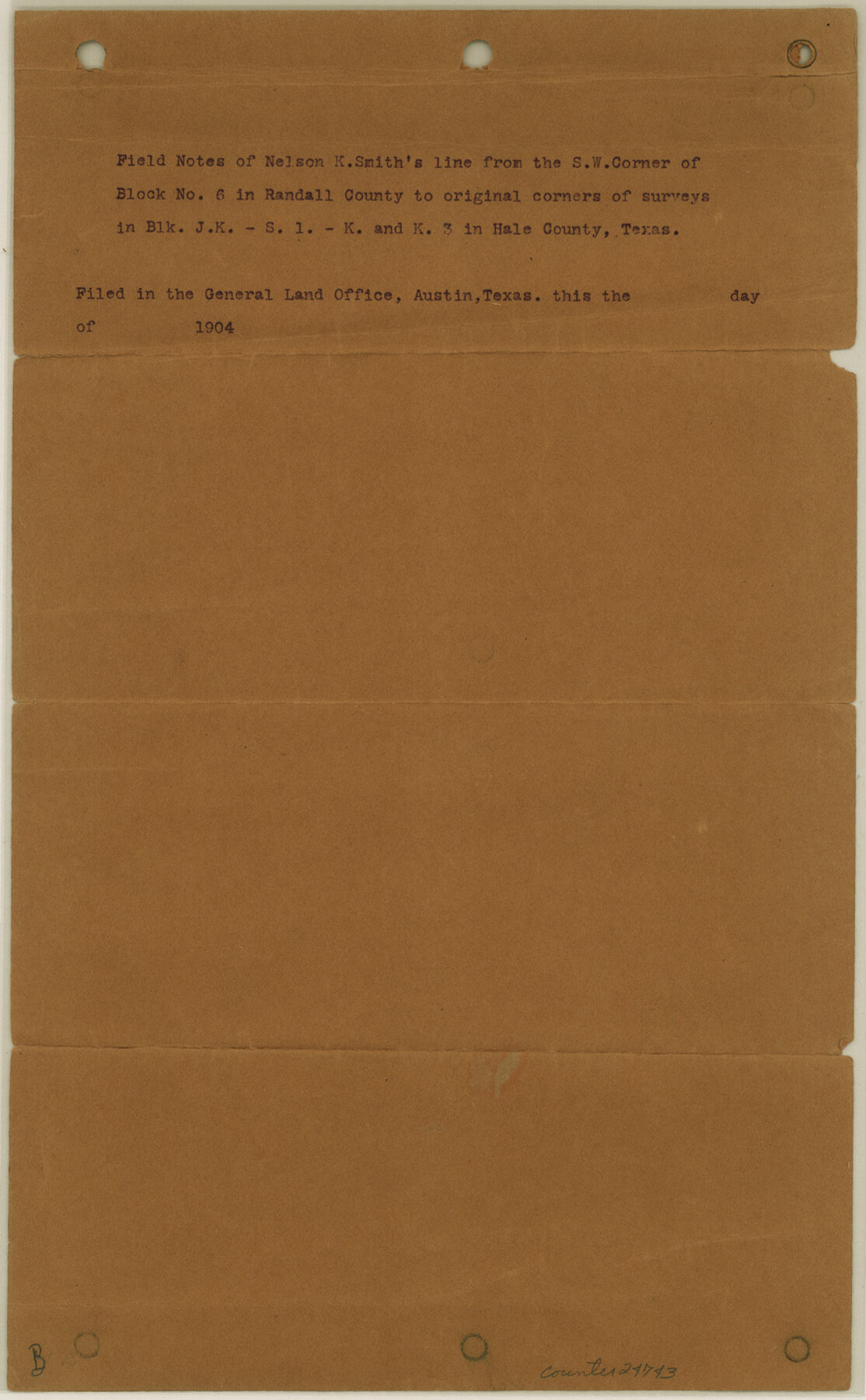
[Field notes of a transit line from the southwest corner of survey no. 208, I. & G. N. RR. Co. Block 6 in Randall County to certain original corners in Blocks JK, S1, K and K3 in Hale County]
- 
                          Map/Doc
24743
 - 
                            Collection
General Map Collection
 - 
                            Object Dates
1904/9/2 (File Date)
1904/8/17 (Survey Date)
 - 
                            People and Organizations
Nelson K. Smith (Surveyor/Engineer)
Jeff Pippin (Chainman)
Henry Hagood (Chainman)
Lascar Hobbs (Chainman)
 - 
                            Counties
Hale Randall Swisher
 - 
                            Subjects
Surveying Sketch File
 - 
                            Height x Width
14.1 x 8.7 inches
35.8 x 22.1 cm
 - 
                            Medium
paper, print
 - 
                            Features
Happy Hollow Draw
Middle Tule Draw
White River
 
Part of: General Map Collection
            Brewster County Rolled Sketch 155


                                            Print $20.00                    
                                             -                         Digital $50.00                                    
                Brewster County Rolled Sketch 155
Size 36.8 x 24.7 inches
                                Map/Doc 78343
            
            San Patricio County Working Sketch 5


                                            Print $20.00                    
                                             -                         Digital $50.00                                    
                San Patricio County Working Sketch 5
1934
Size 31.6 x 35.9 inches
                                Map/Doc 63767
            
            Bexar County Working Sketch 18


                                            Print $20.00                    
                                             -                         Digital $50.00                                    
                Bexar County Working Sketch 18
1979
Size 22.6 x 18.3 inches
                                Map/Doc 67334
            
            Calhoun County Rolled Sketch 14


                                            Print $20.00                    
                                             -                         Digital $50.00                                    
                Calhoun County Rolled Sketch 14
Size 22.2 x 40.6 inches
                                Map/Doc 5369
            
            [Ft. W. & R. G. Ry. Right of Way Map, Chapin to Bluffdale, Hood County, Texas]


                                            Print $40.00                    
                                             -                         Digital $50.00                                    
                [Ft. W. & R. G. Ry. Right of Way Map, Chapin to Bluffdale, Hood County, Texas]
1918
Size 37.7 x 84.3 inches
                                Map/Doc 64644
            
            Matagorda County NRC Article 33.136 Location Key Sheet


                                            Print $20.00                    
                                             -                         Digital $50.00                                    
                Matagorda County NRC Article 33.136 Location Key Sheet
1973
Size 27.0 x 23.0 inches
                                Map/Doc 88833
            
            Gregg County Sketch File 15


                                            Print $6.00                    
                                             -                         Digital $50.00                                    
                Gregg County Sketch File 15
1946
Size 14.3 x 8.8 inches
                                Map/Doc 24616
            
            Lee County Working Sketch 7


                                            Print $20.00                    
                                             -                         Digital $50.00                                    
                Lee County Working Sketch 7
1977
Size 27.0 x 16.8 inches
                                Map/Doc 70386
            
            Polk County Working Sketch 7


                                            Print $20.00                    
                                             -                         Digital $50.00                                    
                Polk County Working Sketch 7
1934
Size 24.4 x 24.4 inches
                                Map/Doc 71622
            
            Flight Mission No. BQR-20K, Frame 6, Brazoria County


                                            Print $20.00                    
                                             -                         Digital $50.00                                    
                Flight Mission No. BQR-20K, Frame 6, Brazoria County
1952
Size 18.6 x 22.3 inches
                                Map/Doc 84108
            
            Milam County Boundary File 5a


                                            Print $12.00                    
                                             -                         Digital $50.00                                    
                Milam County Boundary File 5a
Size 14.1 x 8.5 inches
                                Map/Doc 57233
            
            Crockett County Working Sketch 8


                                            Print $20.00                    
                                             -                         Digital $50.00                                    
                Crockett County Working Sketch 8
1903
Size 15.2 x 30.3 inches
                                Map/Doc 68341
            You may also like
            Duval County Working Sketch 18


                                            Print $20.00                    
                                             -                         Digital $50.00                                    
                Duval County Working Sketch 18
1939
Size 23.5 x 19.6 inches
                                Map/Doc 68731
            
            Galveston County NRC Article 33.136 Sketch 97


                                            Print $414.00                    
                                    
                Galveston County NRC Article 33.136 Sketch 97
2024
Map/Doc 97407
            
            Hunt County Sketch File 39


                                            Print $8.00                    
                                             -                         Digital $50.00                                    
                Hunt County Sketch File 39
1922
Size 14.3 x 8.8 inches
                                Map/Doc 27159
            
            Flight Mission No. DAG-17K, Frame 122, Matagorda County


                                            Print $20.00                    
                                             -                         Digital $50.00                                    
                Flight Mission No. DAG-17K, Frame 122, Matagorda County
1952
Size 16.5 x 16.4 inches
                                Map/Doc 86342
            
            Right of Way and Track Map, The Missouri, Kansas and Texas Ry. of Texas operated by the Missouri, Kansas and Texas Ry. of Texas, Henrietta Division


                                            Print $40.00                    
                                             -                         Digital $50.00                                    
                Right of Way and Track Map, The Missouri, Kansas and Texas Ry. of Texas operated by the Missouri, Kansas and Texas Ry. of Texas, Henrietta Division
1918
Size 25.1 x 56.4 inches
                                Map/Doc 64074
            
            Current Miscellaneous File 109


                                            Print $9.00                    
                                             -                         Digital $50.00                                    
                Current Miscellaneous File 109
1967
Size 9.7 x 10.3 inches
                                Map/Doc 74710
            
            Milam County Boundary File 5b


                                            Print $20.00                    
                                             -                         Digital $50.00                                    
                Milam County Boundary File 5b
Size 22.6 x 37.8 inches
                                Map/Doc 57239
            
            Burleson County Working Sketch 12


                                            Print $20.00                    
                                             -                         Digital $50.00                                    
                Burleson County Working Sketch 12
1980
Size 20.6 x 12.0 inches
                                Map/Doc 67731
            
            Hockley County Working Sketch 2


                                            Print $20.00                    
                                             -                         Digital $50.00                                    
                Hockley County Working Sketch 2
1960
Size 17.8 x 35.7 inches
                                Map/Doc 66192
            
            Throckmorton County


                                            Print $20.00                    
                                             -                         Digital $50.00                                    
                Throckmorton County
1943
Size 46.3 x 37.8 inches
                                Map/Doc 73302