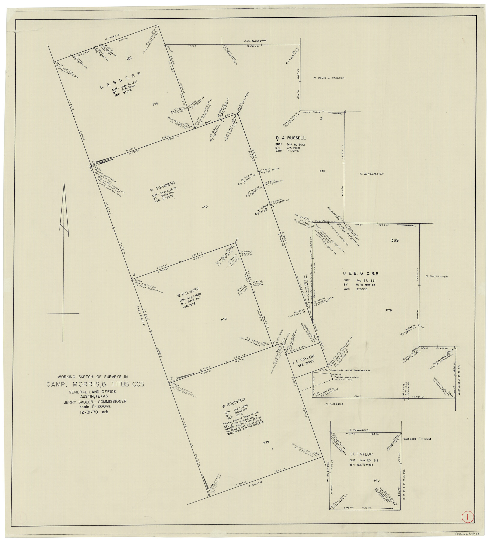
Camp County Working Sketch 1
-
Map/Doc
67877
-
Collection
General Map Collection
-
Object Dates
12/31/1970 (Creation Date)
-
Counties
Camp Morris Titus
-
Subjects
Surveying Working Sketch
-
Height x Width
32.9 x 29.7 inches
83.6 x 75.4 cm
-
Scale
1" = 200 varas
Part of: General Map Collection

Milam County Boundary File 1

Print $8.00
- Digital $50.00
Milam County Boundary File 1
Size 12.7 x 8.2 inches
Map/Doc 57198
La Salle County Sketch File 36

Print $40.00
- Digital $50.00
La Salle County Sketch File 36
1898
Size 12.2 x 12.6 inches
Map/Doc 29589
Frio County Boundary File 31

Print $19.00
- Digital $50.00
Frio County Boundary File 31
Size 9.3 x 4.4 inches
Map/Doc 53609
Sketch on Ioni Creek

Print $2.00
- Digital $50.00
Sketch on Ioni Creek
1846
Size 9.1 x 6.4 inches
Map/Doc 134
Callahan County Sketch File 12

Print $40.00
- Digital $50.00
Callahan County Sketch File 12
1872
Size 17.8 x 26.2 inches
Map/Doc 11041
Marion County Rolled Sketch F

Print $40.00
- Digital $50.00
Marion County Rolled Sketch F
1937
Size 43.5 x 67.1 inches
Map/Doc 9487
Williamson County Working Sketch 20

Print $20.00
- Digital $50.00
Williamson County Working Sketch 20
1995
Size 23.8 x 40.7 inches
Map/Doc 72580
Brazoria County Rolled Sketch 47

Print $20.00
- Digital $50.00
Brazoria County Rolled Sketch 47
1951
Size 17.4 x 22.6 inches
Map/Doc 5180
Childress County Sketch File 18

Print $8.00
- Digital $50.00
Childress County Sketch File 18
1909
Size 14.3 x 9.0 inches
Map/Doc 18290
Andrews County Rolled Sketch 34

Print $20.00
- Digital $50.00
Andrews County Rolled Sketch 34
1955
Size 34.9 x 40.0 inches
Map/Doc 8913
Ward County Working Sketch 12

Print $20.00
- Digital $50.00
Ward County Working Sketch 12
1947
Size 23.4 x 22.7 inches
Map/Doc 72318
You may also like
Midland County Rolled Sketch REE

Print $20.00
- Digital $50.00
Midland County Rolled Sketch REE
1937
Size 27.1 x 24.3 inches
Map/Doc 6771
Map of San Patricio County

Print $20.00
- Digital $50.00
Map of San Patricio County
1863
Size 17.9 x 26.3 inches
Map/Doc 4018
Hardin County Sketch File 32a

Print $11.00
- Digital $50.00
Hardin County Sketch File 32a
Size 8.4 x 9.8 inches
Map/Doc 25167
Cass County Working Sketch 48

Print $20.00
- Digital $50.00
Cass County Working Sketch 48
1992
Size 21.3 x 36.4 inches
Map/Doc 67951

[Block 6T, Portions of Blocks 44, 2T, and 3T, and vicinity]
![91526, [Block 6T, Portions of Blocks 44, 2T, and 3T, and vicinity], Twichell Survey Records](https://historictexasmaps.com/wmedia_w700/maps/91526-1.tif.jpg)
Print $20.00
- Digital $50.00
[Block 6T, Portions of Blocks 44, 2T, and 3T, and vicinity]
Size 14.2 x 15.9 inches
Map/Doc 91526
El Paso County Working Sketch 19

Print $20.00
- Digital $50.00
El Paso County Working Sketch 19
1960
Size 20.8 x 20.8 inches
Map/Doc 69041
Jones County Working Sketch 10

Print $20.00
- Digital $50.00
Jones County Working Sketch 10
1982
Size 19.3 x 34.3 inches
Map/Doc 66648
[Sketch of Unknown Area in New Mexico]
![89816, [Sketch of Unknown Area in New Mexico], Twichell Survey Records](https://historictexasmaps.com/wmedia_w700/maps/89816-1.tif.jpg)
Print $20.00
- Digital $50.00
[Sketch of Unknown Area in New Mexico]
Size 47.2 x 37.4 inches
Map/Doc 89816
Republic Counties. January 1, 1843

Print $20.00
Republic Counties. January 1, 1843
2020
Size 24.5 x 21.7 inches
Map/Doc 96316
Coast Chart No. 211 - Padre I. and Laguna Madre, Lat. 27° 12' to Lat. 26° 33', Texas

Print $20.00
- Digital $50.00
Coast Chart No. 211 - Padre I. and Laguna Madre, Lat. 27° 12' to Lat. 26° 33', Texas
1890
Size 40.1 x 33.7 inches
Map/Doc 73500
Topographical Map of the Rio Grande, Sheet No. 22

Print $20.00
- Digital $50.00
Topographical Map of the Rio Grande, Sheet No. 22
1912
Map/Doc 89546